Landmark: Our Lady of Noorieh Monastery
City: Batroun
Country: Lebanon
Continent: Asia
Our Lady of Noorieh Monastery, Batroun, Lebanon, Asia
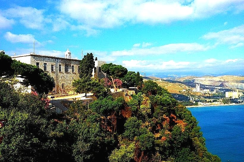
The Our Lady of Noorieh Monastery (Saydet el-Nourieh) is a historic Greek Orthodox Marian shrine and monastic complex situated on the high cliffs of Cape Ras Chekka near the village of Hamat in the Batroun District of Lebanon. It stands as a major pilgrimage site in the Levant, commanding a vertical view over the Mediterranean Sea.
Visual Characteristics
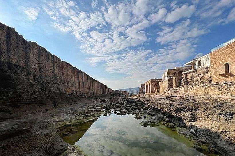
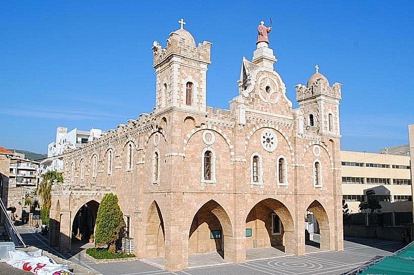
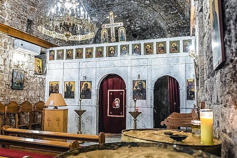
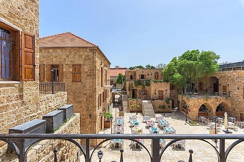
The monastery features a classic Levant-style monastic layout built from local white and yellow limestone blocks. The architecture is defined by an enclosed central courtyard surrounded by double-tiered stone arcades, vaulted residential cells, and a heavy stone bell tower. The interior of the main chapel contains white plastered walls, a traditional carved wooden iconostasis, and several ancient maritime-themed Orthodox icons. An adjacent paved stone path leads down the cliffside to a natural rock grotto chapel built directly into the sheer vertical limestone wall.
Location & Access Logistics
The shrine is positioned on the summit of Cape Ras Chekka, approximately 62 kilometers north of Beirut and 7 kilometers northeast of Batroun. Access from the main Beirut-Tripoli highway is via the Hamat exit, followed by a winding uphill asphalt road that ascends the promontory. A large, dedicated gravel and paved parking lot is located directly at the entrance gate of the monastery grounds. Public transit options are limited to coastal buses dropping passengers at the base of the mountain near Chekka, requiring a private vehicle or local taxi to negotiate the final 4-kilometer uphill climb.
Historical & Ecological Origin
Monastic construction at the site began in the 4th century CE under Byzantine rule and was expanded significantly during the Crusader and Ottoman eras to reach its current structural layout. The monastery is built on a massive Cretaceous-era limestone cliff that drops nearly 300 meters into the sea, forming part of the unique karst topography of the North Lebanon coastline. The name "Noorieh" is derived from the Arabic word noor (light), referencing the historical maritime function of the promontory.
Key Highlights & Activities
Primary activities include viewing the historic icons inside the main chapel, walking the arcaded courtyards, and visiting the historic grotto via the rock-cut cliffside stairway. The outdoor viewing platforms offer panoramic vistas of the coastline stretching from Batroun to Tripoli. The site is actively used for daily liturgical prayer, monastic reflection, and large-scale religious gatherings during the Feast of the Dormition of the Theotokos.
Infrastructure & Amenities
The visitor complex includes public restroom facilities located near the entrance gate, a small religious gift shop, and a registry desk. Natural shade is abundant within the inner cloister courtyards and beneath mature pine and olive trees planted across the grounds. Cellular network coverage (4G) is stable across the summit area. A small snack kiosk operates during peak visitor hours, while full dining options are situated 3 kilometers away in Hamat village or along the Chekka coast.
Best Time to Visit
The late afternoon provides the most optimal conditions for photography, as the setting sun directly illuminates the western cliff faces and the monastery facade against the sea. The months from April to November offer stable dry weather conditions and clear coastal views. Visiting during the winter months often brings low-lying cloud formations and heavy maritime winds that restrict access to the outdoor cliff paths.
Facts & Legends
According to a 4th-century maritime legend, two Christian sailors were caught in a severe storm off the treacherous coast of Ras Chekka when the Virgin Mary appeared to them as a brilliant light on the cliffside, safely guiding their vessel into the calm waters of the bay; in gratitude, the sailors carved the initial grotto chapel into the rock face where the light appeared. A verified historical curiosity is that the high promontory served as a natural visual signaling post between coastal watchtowers throughout the medieval period.
Nearby Landmarks
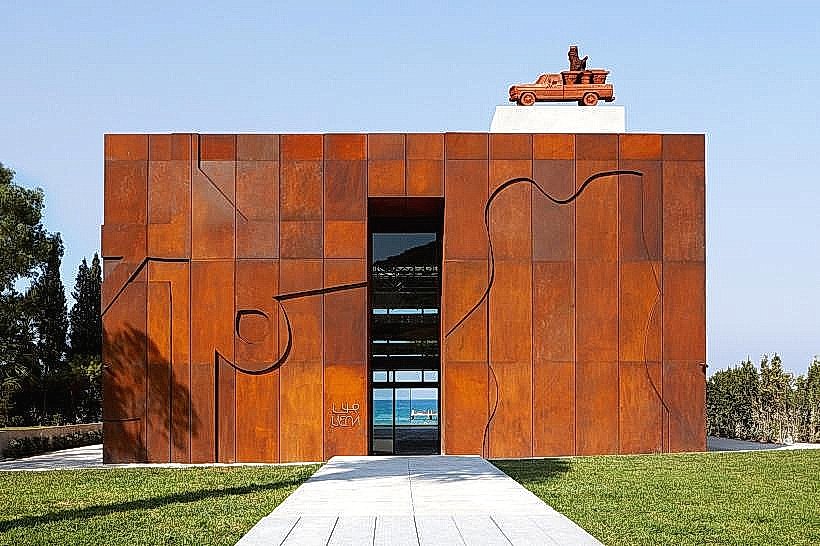
Nabu Museum: 2.8km Northeast
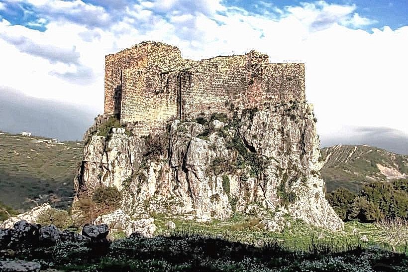
Mseilha Fort: 3.1km Southeast
Mseilha Dam and Reservoir: 3.3km Southeast
Chekka Public Beach: 3.6km East