Landmark: Smar Jbeil Castle
City: Batroun
Country: Lebanon
Continent: Asia
Smar Jbeil Castle, Batroun, Lebanon, Asia
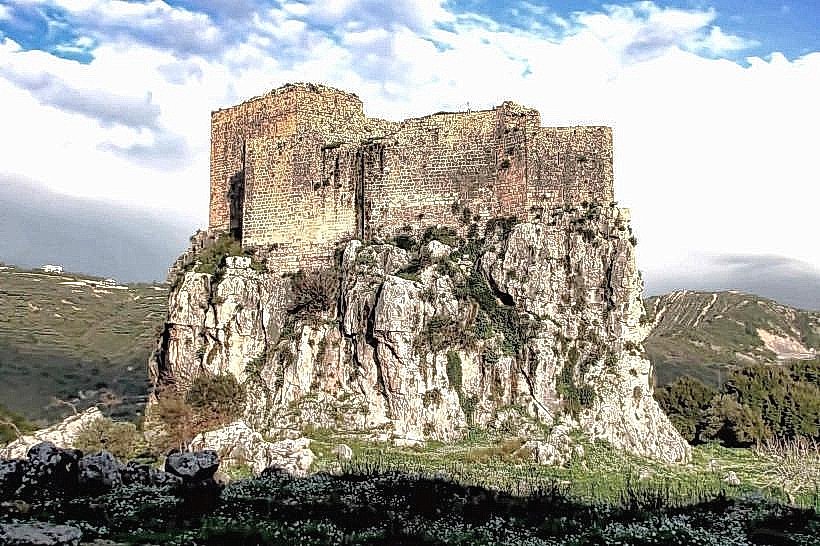
The Smar Jbeil Castle is an ancient military fortification situated on a strategic hilltop in the village of Smar Jbeil within the Batroun District of North Lebanon Governorate. It stands as one of the oldest castle structures in the region, commanding a complete defensive view over the Mediterranean coastline and the surrounding mountain passes.
Visual Characteristics
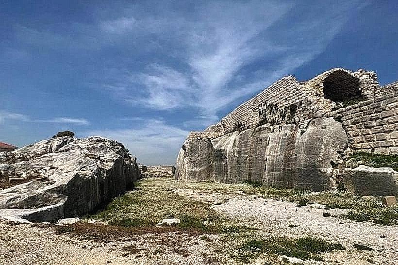
The fortress is constructed from massive, roughly dressed blocks of local fossilized limestone and coral rag, built directly upon a natural rock platform. The architecture features a defensive perimeter with deep dry moats carved manually into the bedrock, thick bastions, and a prominent central keep. The interior layout contains large cross-vaulted underground chambers, multi-level storage rooms, an ancient oil press cavity, and a series of deep bell-shaped water cisterns cut directly into the subterranean stone layers.
Location & Access Logistics
The castle is located approximately 60 kilometers north of Beirut and 6 kilometers southeast of the coastal city of Batroun. Access from the main Beirut-Tripoli highway is via the Batroun municipal exit, following the uphill asphalt route passing through the villages of Eddé and Basbina to reach Smar Jbeil. Vehicles can park in the unpaved open space located directly at the western entrance of the fortress ruins. Public transportation is limited to regional coastal buses that stop at the Batroun highway intersection, requiring a private taxi to complete the final 10-minute mountain ascent.
Historical & Ecological Origin
The primary foundation of the site dates back to the Phoenician era, later utilized by the Romans who cut the initial strategic moats into the limestone bedrock. The structure was significantly expanded and refortified by the Crusaders during the 12th century to serve as a defensive outpost for the County of Tripoli, and it was later occupied and modified by Mamluk and Ottoman forces. The castle sits on a karst limestone ridge formed during the Cretaceous period, which naturally provides vertical defensive cliffs on three sides.
Key Highlights & Activities
Visitors can conduct self-guided exploration of the open-air ruins, walking through the vaulted Crusader halls and climbing the remaining sections of the defensive walls. Primary points of interest include the rock-cut moats, the ancient wells, and the historic chapel ruins situated within the castle perimeter. The elevated position offers expansive panoramic views suitable for landscape observation of the Batroun coastline.
Infrastructure & Amenities
The archaeological site functions as an open monument and does not contain a visitor center, ticketing office, or public restroom facilities. Shade is entirely limited to the interior vaulted stone chambers and beneath a few wild fig trees growing within the ruins. Cellular network coverage (4G) is functional and stable across the entire hilltop complex. There are no commercial food or beverage vendors operating on the immediate site grounds, but local minimarkets and small eateries are located within a 500-meter walk in Smar Jbeil village.
Best Time to Visit
The late afternoon hours from 16:00 to 18:00 provide the most favorable lighting conditions for architectural photography, as the low sun accentuates the texture of the weathered limestone walls and illuminates the western battlements facing the sea. The months of April through November offer dry road conditions and comfortable temperatures for exploring the exposed hilltop ruins, avoiding the heavy winter rains and winds that affect the mountain ridges.
Facts & Legends
A verified architectural feature of the Smar Jbeil Castle is the presence of several carved pagan symbols and ancient Phoenician inscriptions embedded into the lowermost foundational layers of the rock-cut moats, confirming the site's pre-medieval religious or military significance. Local historical records indicate that the castle served as a strategic refuge for the Maronite Patriarchs during periods of regional conflict in the late medieval era due to its highly defensible and inaccessible position.
Nearby Landmarks
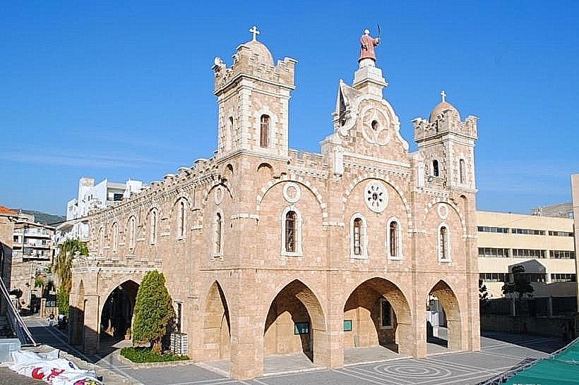
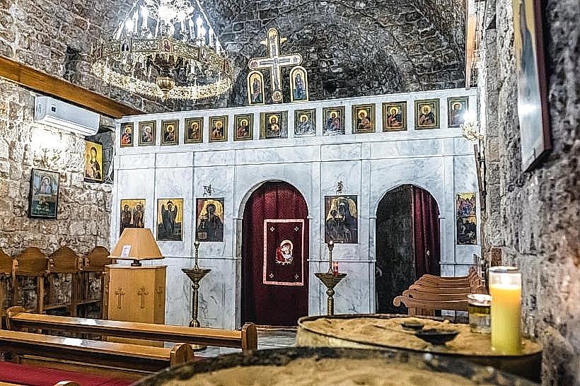
Church of Saint Nouhra: 0.2km West
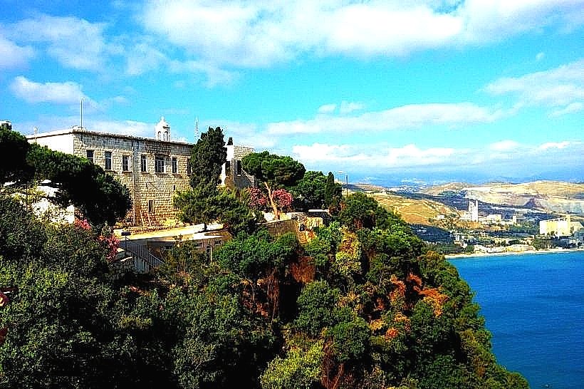
Monastery of Saint Joseph Al Dahr (Tomb of Saint Rafqa): 2.2km Southeast
Mseilah Fort: 3.8km Northeast
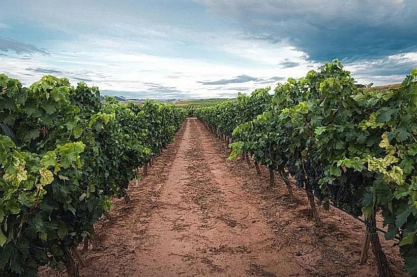
Batroun Wineries (Atibaia Estate): 1.5km East
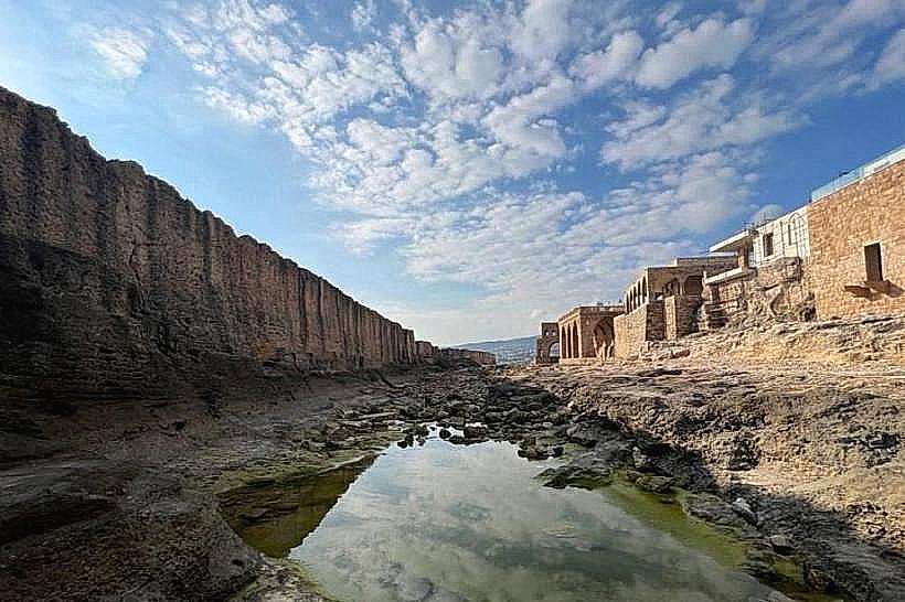
Phoenician Sea Wall (Batroun Coast): 6.2km Northwest