Landmark: Phoenician Sea Wall
City: Batroun
Country: Lebanon
Continent: Asia
Phoenician Sea Wall, Batroun, Lebanon, Asia
The Phoenician Sea Wall is an ancient maritime monument spanning the rocky shoreline of the coastal city of Batroun in North Lebanon Governorate. It stands as one of the largest surviving archaeological structures built by the Phoenicians along the Mediterranean coast, originally engineered to shield the city from marine erosion and hostile incursions.
Visual Characteristics
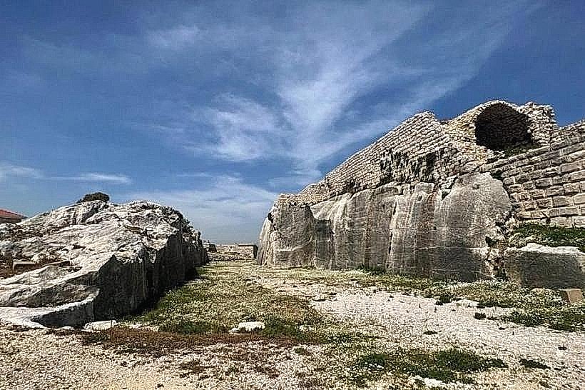
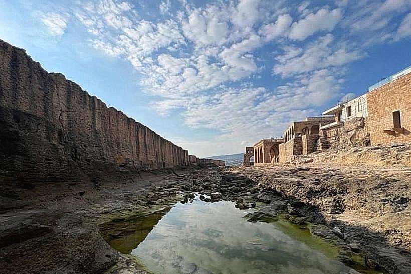
The wall is a massive linear structure composed of compressed sand and local oolitic limestone blocks, commonly referred to as ramleh. It stretches approximately 225 meters in length and varies between 1 and 1.5 meters in thickness, reaching an average height of 4 to 5 meters above the rocky intertidal platform. The sea-facing side exhibits heavy weathering from centuries of wave action, featuring a rough, porous texture with naturally hollowed-out cavities, while parts of the structure display distinct square-cut quarry marks left by ancient tools.
Location & Access Logistics
The monument is positioned along the western edge of Batroun’s old town peninsula, directly fronting the Mediterranean Sea. From Beirut, access is via the northern coastal highway for 55 kilometers, turning west at the main Batroun exit toward the historic coastal quarter. Visitors can navigate the narrow stone lanes of the old port area on foot to reach the seaside promenade. Limited public parking spaces are situated near the Our Lady of the Sea Church, from which a short pedestrian path leads directly to the rocky flats overlooking the wall.
Historical & Ecological Origin
The primary foundation of the wall was initially a natural geological formation consisting of a petrified sand dune ridge. During the first millennium BCE, Phoenician engineers systematically quarried and reinforced this natural barrier, cutting away sections of the rock to create a straight defensive rampart and utilizing the extracted blocks to fortify the gaps. The structure served the dual purpose of protecting the ancient city of Botrus from high winter waves and preventing enemy ships from easily anchoring along the residential shoreline.
Key Highlights & Activities
Observation of the ancient stonework and structural scale is possible from the elevated viewing platforms near the adjacent historic churches. Walking along the rocky flats at the base of the land-facing side allows close inspection of the quarrying techniques. The area is a frequent site for coastal walks, and swimming or kayaking along the seaward side of the wall is common when sea conditions are calm.
Infrastructure & Amenities
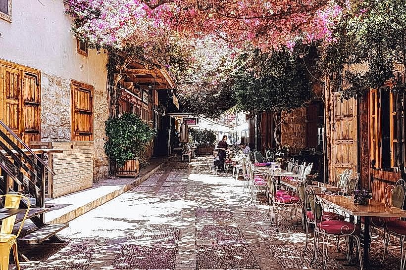
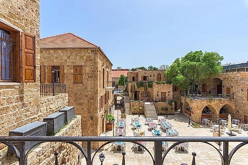
The immediate coastal site features basic stone seating and paved walkways but lacks a dedicated visitor center, ticket office, or public restrooms. Shaded areas are virtually non-existent directly on the exposed rocky coast, though the adjacent alleys of the old town offer shelter. Cellular reception across all national 4G and 5G networks is fully stable. Numerous seafood restaurants, local cafes, and traditional boutique shops operate within a 100 to 200-meter radius inside the old port district.
Best Time to Visit
The late afternoon is the optimal time for photography, as the setting sun directly illuminates the western face of the wall and creates a sharp contrast against the Mediterranean water. The dry summer and shoulder months from May through October offer the safest access to the rocky shoreline. Visiting during heavy winter storms (December to February) is dangerous due to massive waves routinely breaching the top of the stone barrier.
Facts & Legends
A verified geological and historical oddity is that the stone blocks extracted during the shaping of the wall were the exact materials used to construct the foundations of Batroun's ancient houses and temples, making the wall a negative space blueprint of the early town's architecture. Local maritime lore suggests that the wall's continuous presence is the main reason the old port basin retained its sheltered microclimate, allowing local fishermen to maintain uninterrupted operations across multiple millennia.
Nearby Landmarks
Our Lady of the Sea Church (Saydet El Bahr): 0.1km South
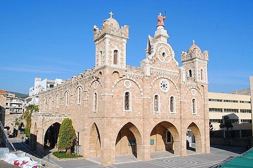
Saint George Maronite Church: 0.25km Southeast
Old Souks of Batroun: 0.35km East
Makedonas Roman Theatre Ruins: 0.6km Northeast