Landmark: Ras el-Ain Temple
City: Baalbek
Country: Lebanon
Continent: Asia
Ras el-Ain Temple, Baalbek, Lebanon, Asia
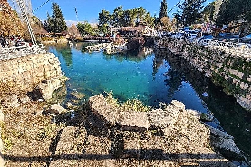
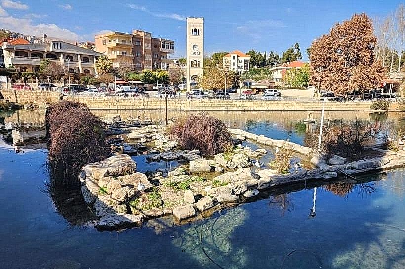
The Ras el-Ain Temple is a collapsed ancient Roman sanctuary located adjacent to the historic freshwater spring in the southeastern sector of Baalbek, Lebanon. Positioned outside the primary walled archaeological park, the structural remnants represent a peripheral cult site linked directly to the water distribution network of ancient Heliopolis.
Visual Characteristics
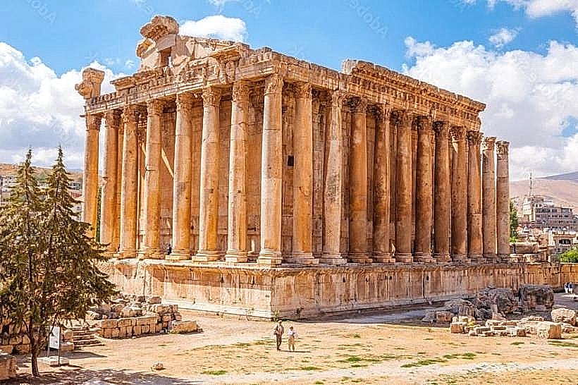
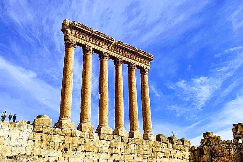
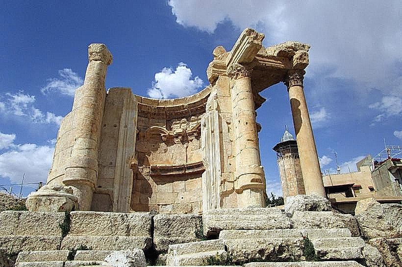
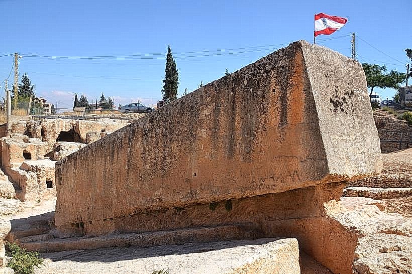
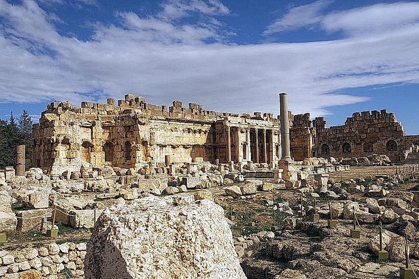
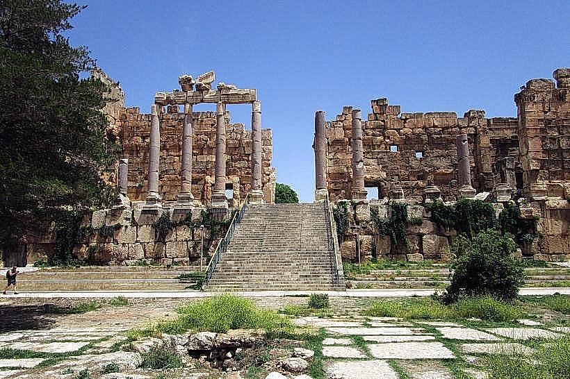
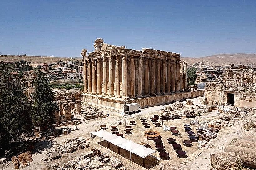
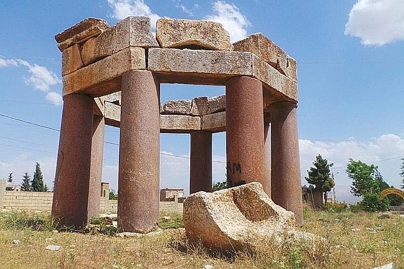
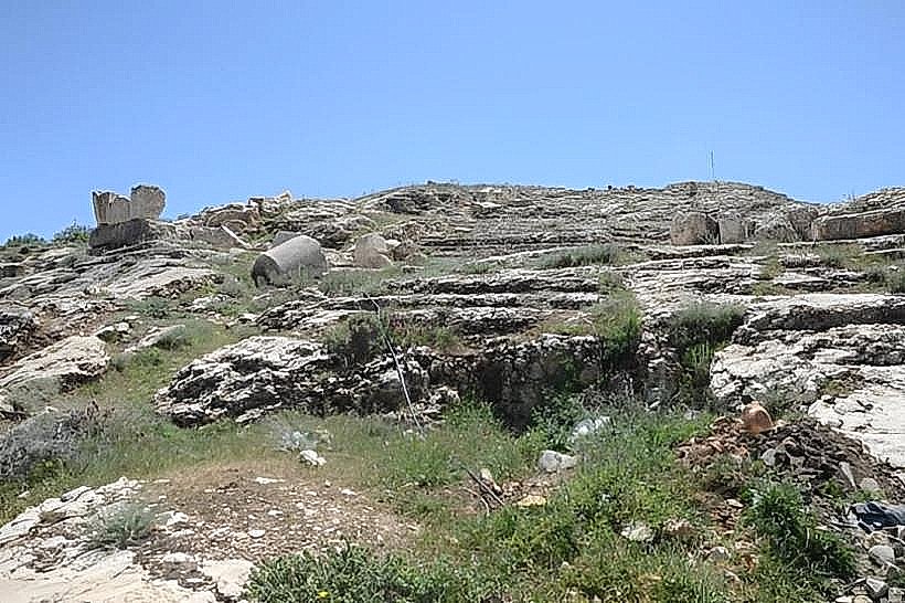
The temple remnants consist of a heavily damaged limestone podium, scattered column drums, and broken decorative blocks partially integrated into the modern landscaping near the spring basin. The masonry reflects Imperial Roman style using regional cream-colored limestone blocks. The podium originally supported a small peristyle structure or nymphaeum layout designed to border the open water channel. The architectural elements lack standing elevations, with the majority of the carved friezes, cornices, and capitals lying in a state of ruin at ground level.
Location & Access Logistics
The ruins are situated on Ras El Ain Road, approximately 1.5 kilometers southeast of the main Baalbek Temple complex. Vehicles arriving from Beirut utilize the Beirut-Damascus Highway (Route 30M) to Chtaura, proceeding north via the Baalbek-Riyak Highway into the city center before following local signs toward the Ras el-Ain park zone. Roadside parking is available along the park perimeter adjacent to the spring. Public transit minivans traveling from Beirut's Cola intersection terminate at the central Baalbek square, requiring a 15-minute walk or a short taxi ride southeast along the main valley road to reach the monument.
Historical & Ecological Origin
The sanctuary was constructed during the Imperial Roman period, likely between the 1st and 2nd centuries AD, to serve as a dedicated water shrine or nymphaeum honoring the localized nymphs or the solar deities associated with the spring source. The temple collapsed during late antiquity due to regional seismic activity or was systematically dismantled during the Byzantine era for alternative construction needs. The environmental context is a karst spring outlet on the semi-arid, high-altitude plateau of the Beqaa Valley, located at an elevation of 1,150 meters.
Key Highlights & Activities
Inspecting the exposed stone blocks of the Roman podium directly bordering the spring waters.
Examining the scattered Corinthian column fragments and carved limestone moldings on the ground.
Documenting the structural relationship between the temple foundations and the historic aqueduct feeding channels.
Photographing the ruins alongside the active freshwater reservoir and the surrounding park landscape.
Infrastructure & Amenities
The monument is situated within a public municipal park zone that features stone walking paths, seating areas, and trash receptacles. No specialized visitor center or ticket booth exists for this specific site. Public restrooms are located across the street inside the local commercial establishments. Shade is widely available from the mature willow and poplar trees planted around the spring area. Reliable 4G and 5G cellular connectivity is accessible through networks Alfa and Touch. Food, bottled water, and regional cafes operate directly opposite the park boundaries.
Best Time to Visit
The ideal months for exploration are April through June, coinciding with peak spring flow from mountain snowmelt, and September through November to avoid extreme climate conditions. The open-air site is accessible at all hours. For photography, early morning offers clear, direct illumination from the east before the adjacent Anti-Lebanon mountain peaks create deep shadows across the lower park valley.
Facts & Legends
A verified historical oddity is that early 20th-century German excavation teams mapped this peripheral temple as an essential component of the city's sacred topography, proving that the entire spring area was heavily ritualized to protect the city's primary water supply. Local folklore long associated the area around the temple ruins with water spirits, and historical accounts note that early inhabitants held seasonal festivals at the site to ensure the continuous output of the mountain aquifer.
Nearby Landmarks
Ras el-Ain Spring: 0.05km West
Baalbek Old Town: 1.1km Northwest
Temple of Venus: 1.4km Northwest
Great Court: 1.5km Northwest
Temple of Bacchus: 1.5km Northwest