City: Mzuzu
Country: Malawi
Continent: Africa
Mzuzu, Malawi, Africa
Mzuzu operates as the administrative, commercial, and transport capital of the Northern Region of Malawi. The city is positioned on the Viphya Plateau at an average elevation of 1250 meters, functioning as the primary hub connecting the national road network to the northern border districts and the Lake Malawi hinterland.
Historical Timeline
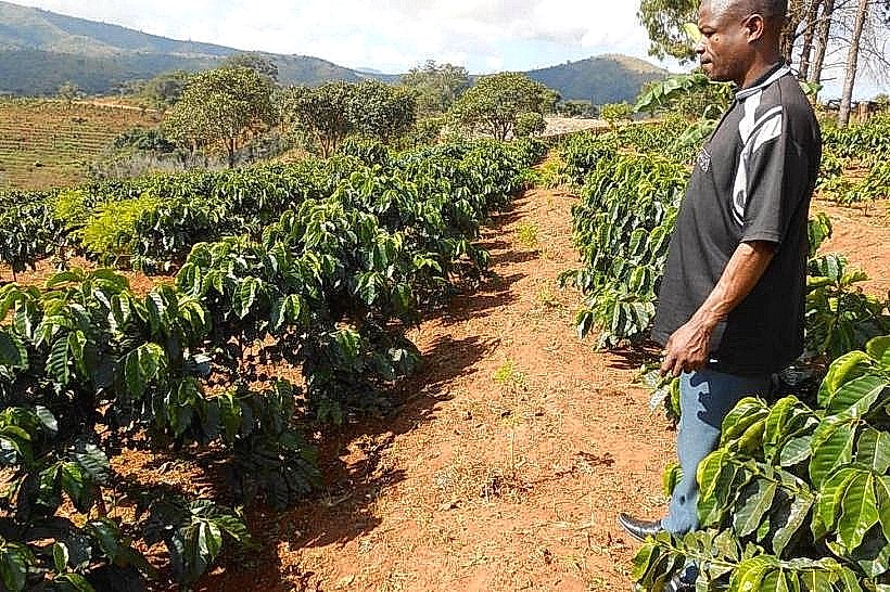
Mzuzu originated in 1947 as a commercial tung oil estate established by the Commonwealth Development Corporation. The settlement evolved rapidly due to centralized colonial corporate investment and achieved official town status in 1949, followed by its designation as the administrative headquarters of the Northern Region in 1954. The most significant structural expansion occurred in 1985 when Mzuzu was officially incorporated as Malawi's third national city. The primary event that shaped the current urban form was the implementation of the Secondary Centres Development Programme in the 1980s, which structurally transformed a corporate agricultural plantation into a decentralized, multi-zonal urban municipality.
Demographics & Population
The population within the official Mzuzu city limits is estimated at 330000, and the immediate metropolitan catchment area supports approximately 450000 residents. The top three ethnic demographics are the Tumbuka, Chewa, and Ngoni, with the Tumbuka comprising the overwhelming demographic majority in the region. The median age of the population is 18.1 years, indicating a highly compressed age distribution driven by high regional birth rates and university enrollment.
Urban Layout & Key Districts
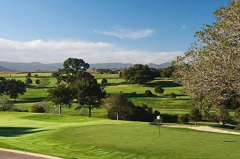
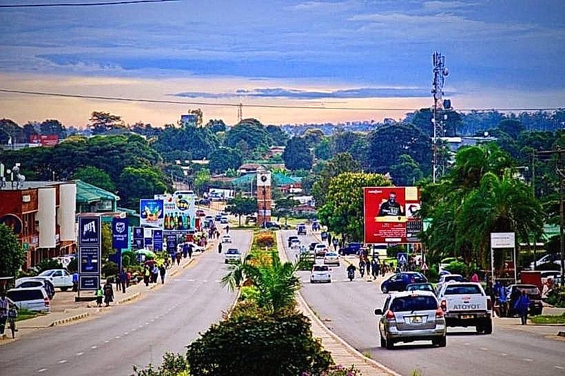
The urban layout is structured around the intersection of the M1 highway and the primary commercial district. The Central Business District contains the banking infrastructure, civic institutions, and the main market zones. The Katoto District, located directly south of the commercial core, serves as the high-density civic and sport infrastructure node. The Chasefu and Chombe sectors, situated northeast of the center, function as the primary administrative, institutional, and university zones. High-density residential informal settlements like Chibavi and Mchengautuwa extend along the western and northwestern perimeters.
Top City Landmarks
Mzuzu University Campus
Mzuzu Central Market
Viphya Plantations Forest Boundary (Chikale Corridor)
Mzuzu Civic Centre
Transportation Network
Internal public transit operates strictly via a road-based network with no active municipal passenger rail or tram services. Informal minibuses route continuously between the central Mzuzu Bus Terminal and outer districts, operating entirely on capacity-based dispatch rather than fixed timelines. Registered intra-city taxis are visually distinguished by their red registration plates and lack mechanical fare meters, making direct negotiation before transit mandatory. Ride-sharing mobile applications are unavailable in this market. Traffic density remains low relative to southern cities, peaking briefly at the central roundabout and the M1 access corridors during early morning and late afternoon hours.
Safety & "Red Zones"
Mzuzu maintains a generally secure environment during the day, but pedestrian risk escalates sharply after sunset. The central market area, the main minibus terminal, and the unlit perimeter paths around Chibavi and Mchengautuwa are critical red zones to avoid at night due to localized violent thefts and muggings. Pickpocketing syndicates operate routinely during peak hours within the central market corridors. Common scams involve street-level operators offering fraudulent gold or gemstone brokerages and informal money changers using deceptive counting techniques.
Digital & Financial Infrastructure
The average fixed broadband speed is low, ranging between 2 and 5 Mbps, which establishes the 4G cellular networks as the most stable infrastructure for digital data. Airtel Malawi and TNM are the principal mobile network providers in the region. Credit card acceptance is exceptionally low, confined strictly to international fuel providers, corporate hotels, and the Shoprite supermarket at the Mzuzu Mall; physical cash is required for standard local transactions. ATMs are distributed across the Central Business District and corporate developments, though they are subject to intermittent network dropouts and cash depletion during monthly civil service pay cycles.
Climate & Air Quality
Mzuzu exhibits a maritime-influenced subtropical highland climate, experiencing lower average temperatures than the southern lake plains. The cool, dry season spans from May to August, with daytime temperatures averaging 15°C to 20°C and dropping below 7°C at night, often accompanied by persistent fog. The hot, dry season covers September to October, with temperatures averaging between 24°C and 28°C. The wet monsoon season takes place from November to April, delivering high-volume orographic precipitation. Air quality is structurally good due to persistent plateau winds, but degrades during October because of agricultural slash-and-burn practices in the surrounding valleys.
Culture & Social Norms
The cultural landscape is dominated by conservative Tumbuka customs alongside contemporary institutional frameworks. Modest attire is required in public spaces, and clothing that exposes the area above the knee is viewed unfavorably within local markets and administrative zones. The standard greeting is a physical handshake, traditionally executed with the left hand supporting the right forearm to communicate interpersonal respect. Tipping is not a formal requirement in regional establishments, but a 5% to 10% gratuity is standard practice in expatriate-oriented dining venues. Public intoxication outside licensed bars is illegal, and smoking is prohibited in all indoor public spaces and government complexes.
Accommodation Zones
Katoto: Recommended for low-density layout, enhanced security infrastructure, and immediate access to regional administrative offices and sports facilities.
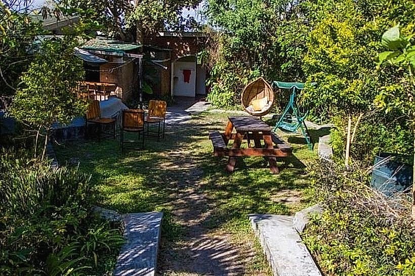
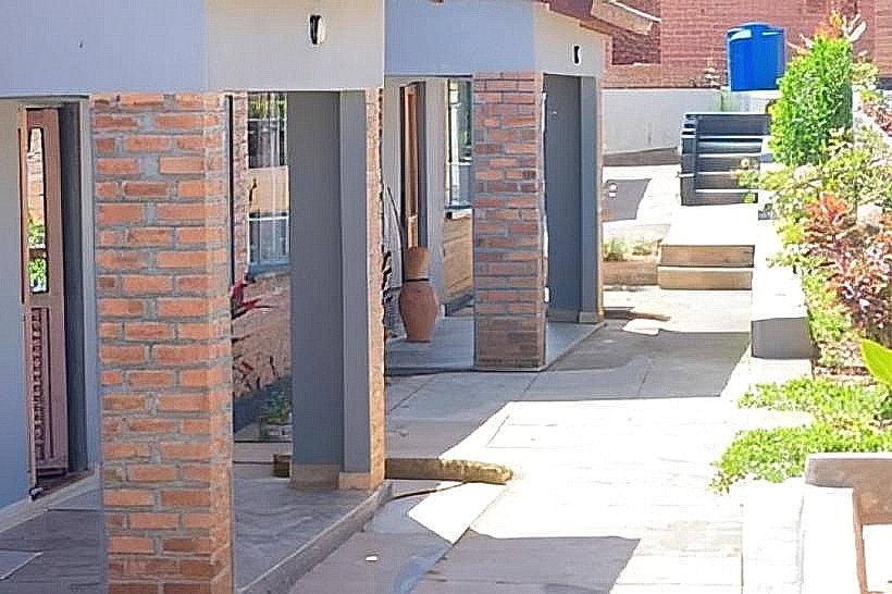
Chasefu / St. Dunstans: Recommended for quiet residential environments, modern guest houses, and logical proximity to Mzuzu University.
Local Cost Index
1 Espresso: 3700 MWK ($2.10 USD)
1 Standard Lunch: 8200 MWK ($4.70 USD)
1 Minibus Ticket: 1400 MWK ($0.80 USD)
Nearby Day Trips
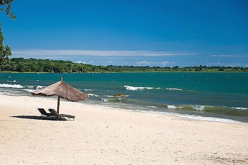
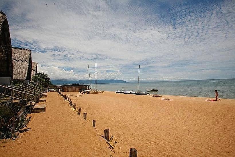
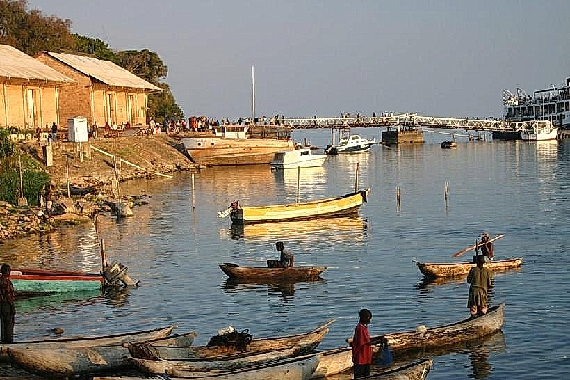
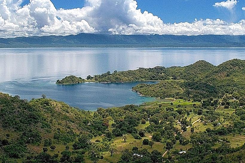
Nkhata Bay (Lake Malawi): Located 45 kilometers east down the escarpment, offering direct access to lake ports and ferry transit within a 1-hour drive.
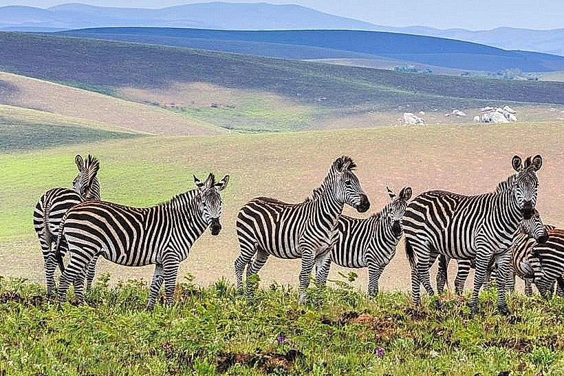
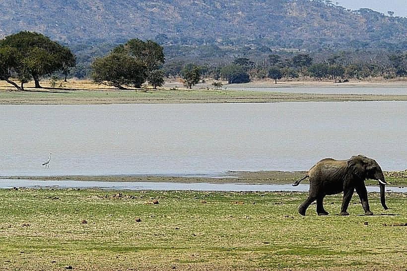
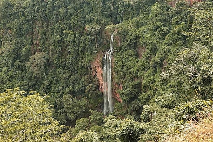
Nyika National Park: Located 130 kilometers north, providing access to a high-altitude montane plateau ecosystem within a 2.5-hour drive via Rumphi.
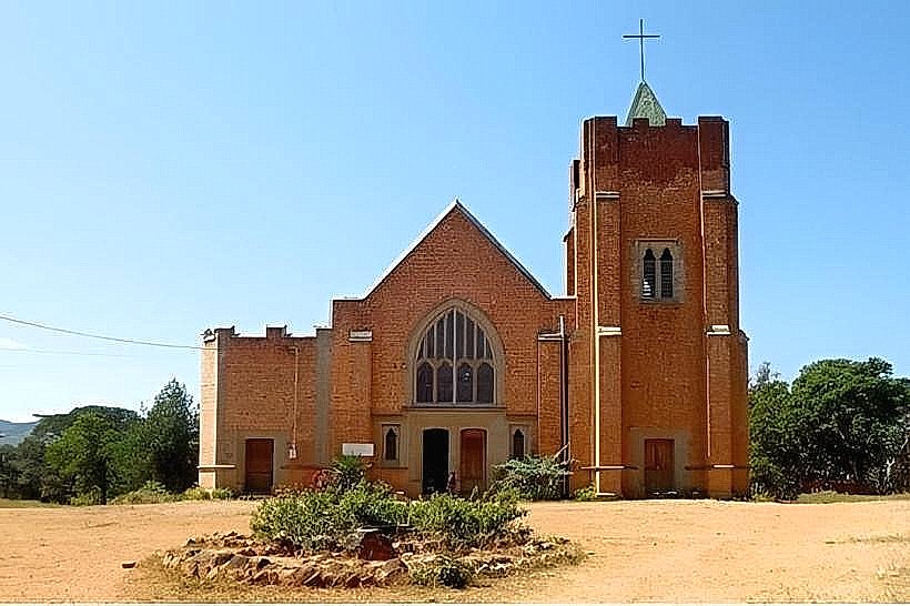
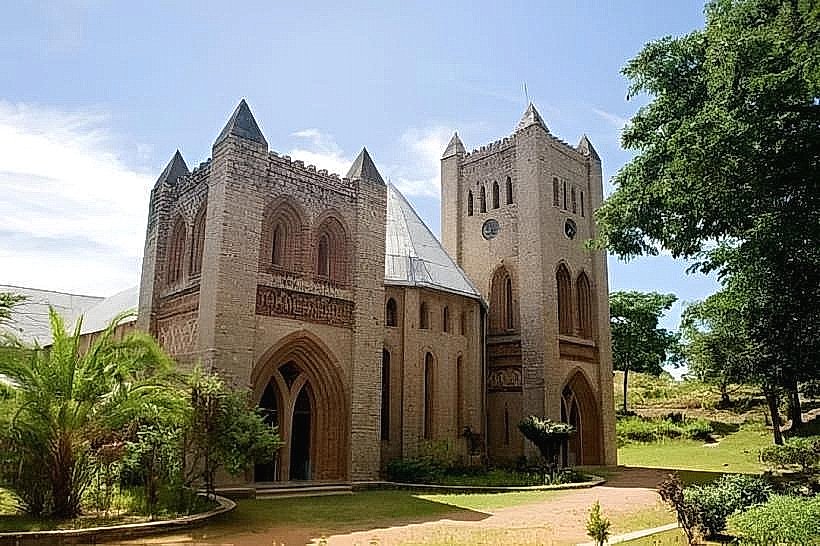
Livingstonia Mission: Located 110 kilometers north, featuring historic colonial stone architecture and views of the Rift Valley escarpment within a 2.5-hour drive.
Facts & Legends
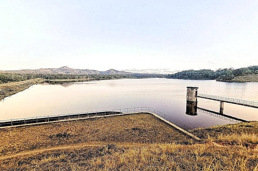
Local oral histories record that the name Mzuzu is a colonial phonetic corruption of the Tumbuka word Vizuzu, which references the specific species of water reeds that originally grew densely along the swampy banks of the Lunyangwa River prior to the establishment of the commercial agricultural estates. A persistent modern urban legend claims that the deep, artificial pine reservoirs within the nearby Viphya forest are inhabited by localized river entities that manipulate water levels to deter illegal logging activities along the plantation borders.