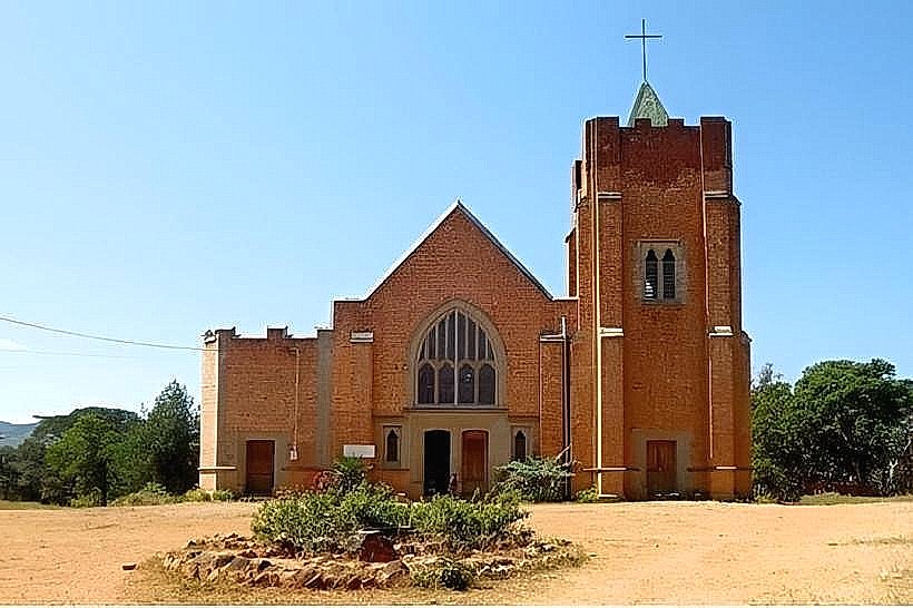
Landmark: Viphya Forest Reserve
City: Mzuzu
Country: Malawi
Continent: Africa
Viphya Forest Reserve, Mzuzu, Malawi, Africa
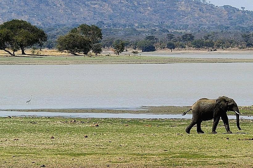
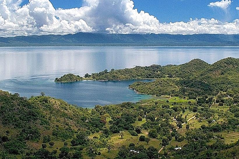
The South Viphya Forest Reserve is a vast highland conservation area encompassing the southern portion of the Viphya Plateau in northern Malawi. It is located primarily within the Mzimba and Nkhata Bay districts, with its core management area centered approximately 65km south of Mzuzu city.
Visual Characteristics
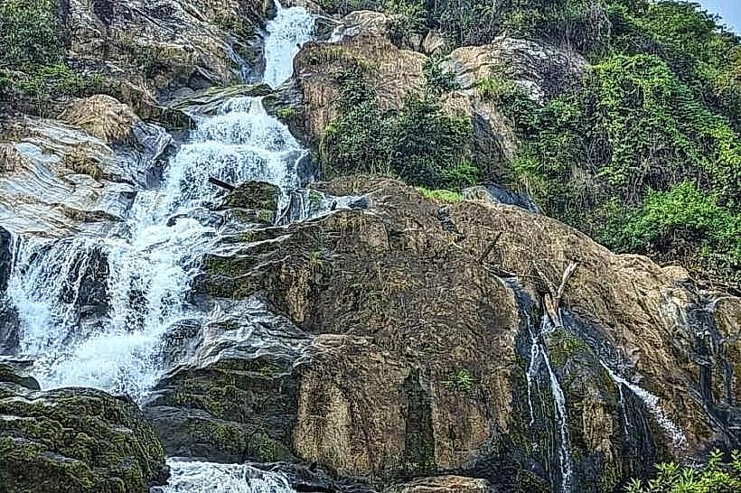
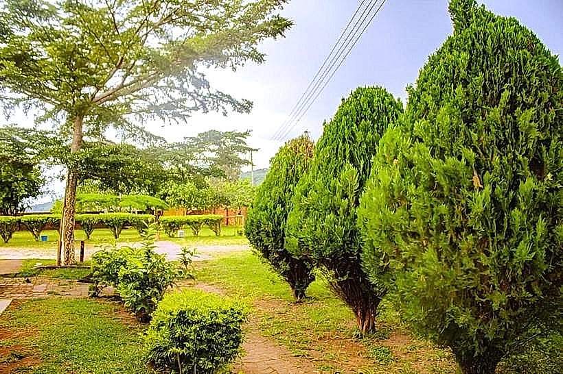
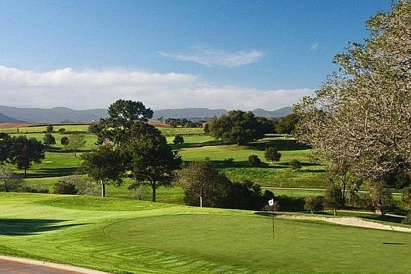
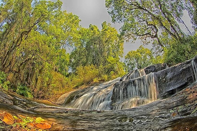
The reserve covers a sprawling, dissected plateau landscape elevated between 1,500m and 2,000m above sea level, dominated by expansive man-made plantations of Mexican pine (Pinus patula) and Pinus kesiya. The uniform rows of soft-green needle canopies give way on highest elevations to undulating montane grasslands and scattered granite inselbergs. Deep within the valleys and on steep southeastern slopes, isolated pockets of dark-green, primary indigenous Afromontane rainforest remain intact, featuring towering emergent trees such as Ficalhoa laurifolia and Cryptocarya liebertiana. The soil profile across the plateau is highly acidic and intensely ferruginous, displaying a deep red or orange-brown clay coloration.
Location & Access Logistics
The primary spine of the reserve is bisected directly by Malawi's main north-south tarmac highway, the M1, which connects Lilongwe to Mzuzu. The central administrative settlement of Chikangawa is situated right off this highway, 65km south of Mzuzu and 40km north of Jenda. While the M1 provides smooth asphalt access through the heart of the forest, turning off to specific trailheads, fire lookouts, or lodges like Luwawa Forest Lodge requires navigating unpaved, gravel forestry tracks. A high-clearance vehicle is recommended for these secondary roads, which develop deep ruts and clay slicks during precipitation. Public minibuses operating along the M1 route can drop passengers at major forest intersections like Chikangawa or the Luwawa turnoff, but no public transit enters the interior tracks.
Historical & Ecological Origin
The South Viphya Forest Reserve was formally gazetted by the colonial administration in 1948 to safeguard the critical montane watershed. In 1964, under the direction of President Hastings Banda, the Malawian government initiated a massive afforestation scheme known as the Viphya Pulpwood Project, aiming to establish an export-oriented pulp and paper industry. Over 55,000 hectares of native grasslands were systematically planted with exotic pines, creating one of the largest man-made forest complexes on the African continent. Ecologically, the reserve serves as a vital island sanctuary, protecting the southernmost range of several East African montane bird and butterfly species, alongside three distinct primary rainforest enclaves: Nthungwa, Chamambo, and Kawandama.
Key Highlights & Activities
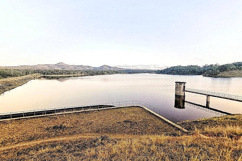
Multi-day wilderness hiking is the principal recreational activity, with the popular Luwawa Mountain Trail tracking across Kawandama Mountain and descending the rugged Rift Valley escarpment toward the shores of Lake Malawi. Recreational sport fishing for wide-mouthed bream and trout is practiced at the Luwawa Dam reservoir. Mountain biking and horse riding trails are systematically maintained through the pine compartments around the central eco-lodges. Bird watching is highly productive, with enthusiasts tracking specialized highland avifauna such as the scaly francolin, olive woodpecker, and red-faced crimson-wing.
Infrastructure & Amenities
Visitor infrastructure is highly localized and concentrated around private eco-tourism concessions like Luwawa Forest Lodge and forestry stations. These hubs provide flushing toilets, prepared meals, and structured campsite clearings. Outside of these designated zones, the reserve is entirely undeveloped, lacking public restrooms, potable water networks, or trash receptacles. Natural shade is dense inside the pine blocks but non-existent on the open montane grassland ridges. Cellular service (4G) is reliably functional along the immediate M1 highway corridor and near major ridges but drops into complete dead zones within the deep river valleys and southeastern escarpment folds.
Best Time to Visit
The dry winter months from May to October offer optimal conditions, characterized by clear skies, firm dirt roads, and a complete absence of malaria-carrying mosquitoes due to the cool high-altitude temperatures. Early morning (06:00 to 08:00) is the best time for landscape photography, as thick, atmospheric ground mists frequently settle into the pine valleys before being burned off by the sun. The wet season from November to April brings intense rainfall exceeding 1,500mm annually, which triggers frequent mudslides on logging tracks, causes dense mountain fog that drops visibility to near zero, and significantly lowers temperatures, occasionally producing frost on exposed ridges.
Facts & Legends
A verified historical oddity of the reserve is that the massive industrial pulp mill for which the entire 55,000-hectare pine forest was planted was completely abandoned in the 1980s due to a global economic recession and changing transport logistics, leaving the vast wood resource to be repurposed for local timber, structural poles, and plywood production. A practical safety tip for hikers exploring the dense understory of the native forest enclaves is to remain alert for the red forest duiker, as the reserve protects Malawi's largest remaining population of this secretive, forest-adapted ungulate.
Nearby Landmarks
Luwawa Dam – 0.2km West
Chikangawa Forestry Headquarters – 14.5km North
Mount Champhila – 18.2km South
Kawandama Mountain Peak – 22.4km Northeast
Mzimba Township – 32.0km West