Landmark: Mzuzu Nature Sanctuary
City: Mzuzu
Country: Malawi
Continent: Africa
Mzuzu Nature Sanctuary, Mzuzu, Malawi, Africa
Mzuzu Nature Sanctuary is a protected wildlife and forest reserve located on the eastern periphery of Mzuzu city in the Mzimba District of northern Malawi. The sanctuary is situated along the high-elevation slopes of the Kaning'ina Hills, directly anchoring the transition between urban development and raw montane wilderness.
Visual Characteristics
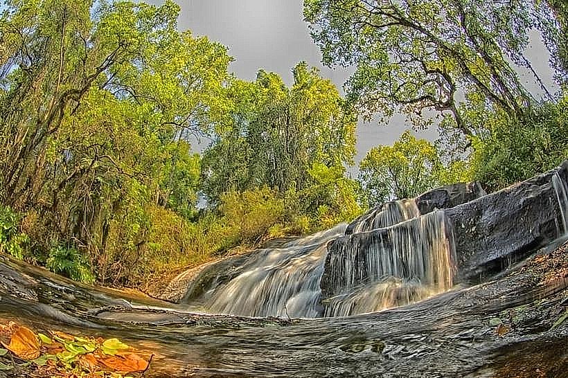
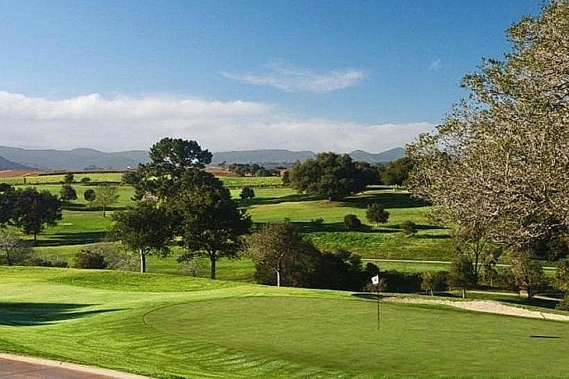
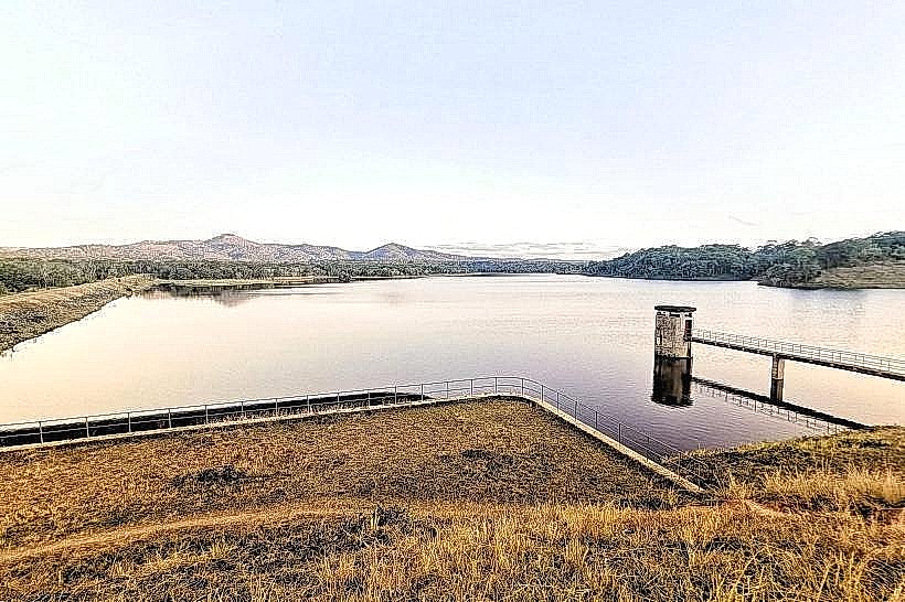
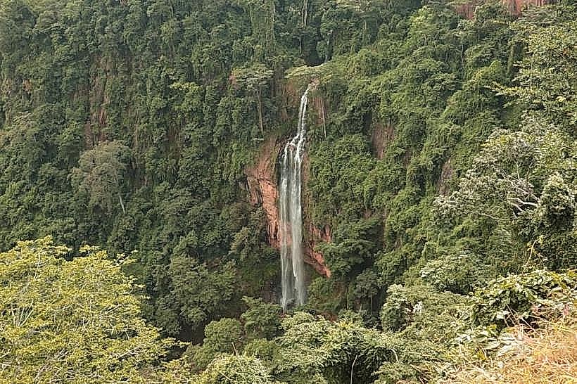
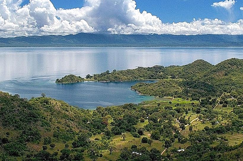
The landmark covers an undulating highland landscape dominated by recovering miombo woodland, specifically characterized by dense stands of Brachystegia and Uapaca tree species. The terrain slopes downward into an evergreen riverine forest along the fringes of the Lunyangwa River and its associated reservoir, the Lunyangwa Dam. The soils are primarily reddish-brown, iron-rich ferruginous clays, with prominent outcroppings of weathered granitic rock visible along the higher ridges. The water body within the lower basin displays a calm, dark-green color, densely bordered by indigenous aquatic grasses and marsh vegetation.
Location & Access Logistics
The sanctuary is accessed from the Mzuzu city center by traveling approximately 4km east via the unpaved road networks branching off the main M1 highway or Orton Chirwa Highway toward the Kaning'ina residential and military zones. The final approach tracks consist of rough, unpaved gravel and dirt lines that require a high-clearance vehicle, particularly during or immediately following rain events. There is no formalized or paved parking infrastructure at the reserve entry gate; visitors park on cleared dirt shoulders near the forestry department checkpoint. No public minibus lines service the interior or the direct gates of the sanctuary, though motorcycle taxis (kabazas) can be hired from the central Taifa Market area to navigate the peri-urban tracks.
Historical & Ecological Origin
The sanctuary was demarcated and gazetted by the Malawi Department of National Parks and Wildlife to protect the vital catchment area of the Lunyangwa River, which serves as a primary water source for the expanding northern capital. Historically, the surrounding hills were heavily impacted by logging and agricultural clearing associated with the Commonwealth Development Corporation's tung oil estates established in 1947. Ecologically, the reserve functions as a critical urban wildlife refuge, conserving specialized high-altitude miombo fauna and providing a buffer zone for the adjacent Kaning'ina Forest Reserve.
Key Highlights & Activities
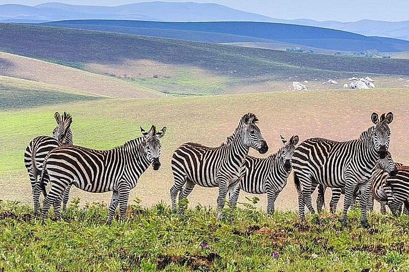
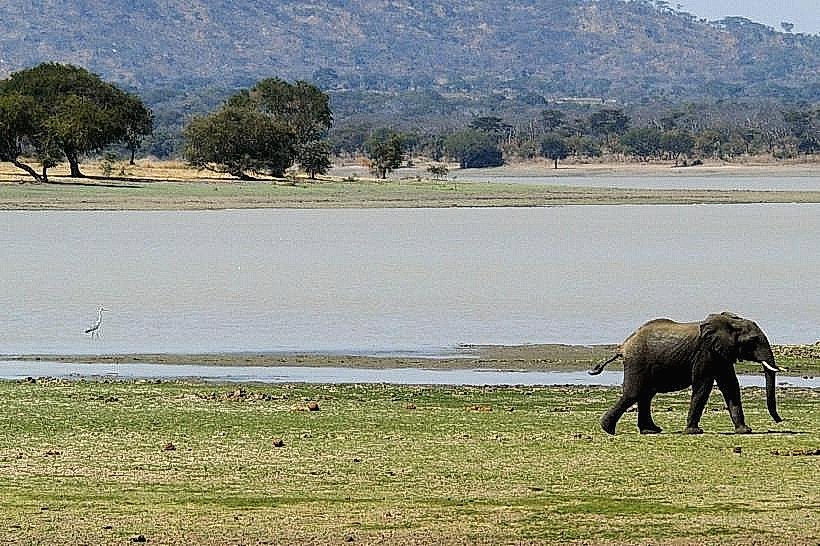
Trail walking and hiking are conducted along a network of primitive dirt pathways that traverse the ridge lines and descend into the river valley. Bird watching is highly productive, with the canopy hosting localized species such as the Bohm's bee-eater, European roller, red-winged starling, and the eastern black-headed oriole. Mammal tracking is possible along the forested drainage lines, where visitors can regularly spot yellow baboons, vervet monkeys, elephant shrews, bushpigs, and occasionally blue monkeys or red duikers.
Infrastructure & Amenities
The reserve features minimal, low-intensity visitor infrastructure. There are no public restroom blocks, developed picnic shelters, or running water facilities inside the protected area. No commercial food, beverage, or equipment vendors operate within the sanctuary grounds, requiring visitors to enter entirely self-sufficient. Natural shade is abundant beneath the woodland canopy but absent on the open hill crests. Cellular phone signal (4G) via regional networks is functional across the higher elevations facing the city but drops significantly within the deep river gorges and lower dam depressions.
Best Time to Visit
The dry winter season from May to October represents the optimal time for visitation, ensuring that the dirt approach tracks remain passable and hiking trails are free of thick mud. The early morning hours between 06:00 and 08:00 provide the best overhead and angled lighting for forest photography and coincide with peak avian activity. The wet season from November to April brings high rainfall volumes exceeding 190mm monthly, which increases snake activity-notably puff adders and green mambas-and creates dense mountain mists that severely limit trail visibility.
Facts & Legends
A verified biological oddity of the sanctuary is its exceptionally high density of elephant shrews (Macroscelididae), which thrive undisturbed in the thick leaf-litter layers of the recovering Uapaca woodlands. A local practical tip for visitors navigating the lower riverine loops is to wear thick, high-ankle boots and strictly stick to the center of cleared paths, as the dense ground cover near the water source serves as a primary camouflage habitat for venomous ambush predators like the puff adder.
Nearby Landmarks
Lunyangwa Dam – 0.5km South
Kaning'ina Forest Reserve Boundary – 1.8km East
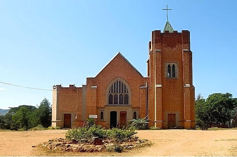
Mzuzu Botanic Gardens – 3.5km Northwest
Mzuzu Central Business District – 4.2km West
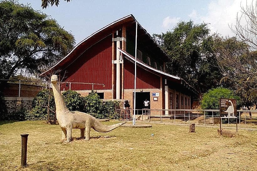
Mzuzu Museum – 4.6km West