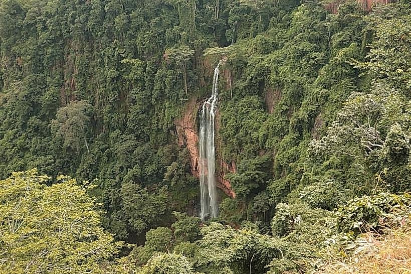
Landmark: Manchewe Falls
City: Mzuzu
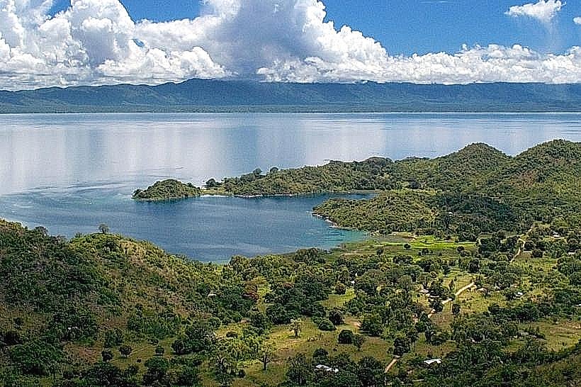
Country: Malawi
Continent: Africa
Manchewe Falls, Mzuzu, Malawi, Africa
Manchewe Falls is a prominent natural waterfall located on the eastern edge of the Khondowe Plateau within the Rumphi District of northern Malawi. It is situated at an elevation of approximately 1,100m above sea level, roughly 4km east of the historic Livingstonia Mission and 11km west of Chitimba on the Lake Malawi shoreline.
Visual Characteristics
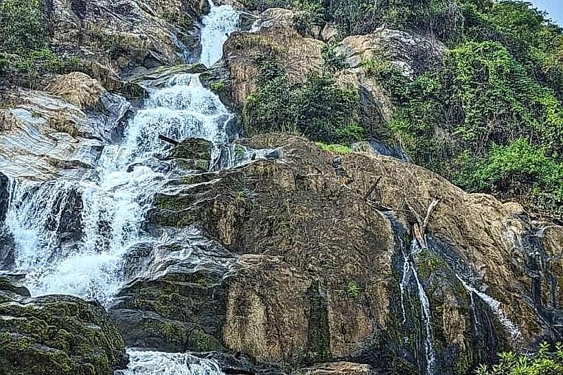
The landmark features a dramatic dual-stage vertical drop where the Manchewe and Kazichi rivers plunge approximately 125m down a sheer, near-vertical granitic cliff face into a deep, forested gorge below. The water flow appears as a powerful white column during the rainy season, thinning to narrower streams during the dry months. The surrounding rock formations consist of heavily weathered dark gray granite and gneiss, covered in slick green algae near the spray zones. The immediate vegetation is characterized by dense, primary Afromontane riverine rainforest, featuring thick canopies, ferns, and wild banana trees thriving in the constant mist.
Location & Access Logistics
The waterfall is located directly off the unpaved, steep Gorodi Road that connects Chitimba on the lakeshore M1 highway to the Livingstonia Mission on the plateau. From Chitimba, drivers must ascend the rough, gravel mountain track for approximately 11km, navigating numerous sharp switchbacks. A high-clearance four-wheel-drive vehicle is strictly required to navigate the loose rocks and steep gradients. Alternatively, hikers can access the falls via a strenuous 3-to-4-hour uphill trek from Chitimba. A small, unpaved dirt clearing on the roadside serves as the informal parking area and entrance point, managed by local community guides. No public transit serves the waterfall directly.
Historical & Ecological Origin
Geologically, the falls were created by tectonic faulting along the Nyika Escarpment, where the high-altitude plateau abruptly terminates at the Western Rift Valley floor. Historically, the deep canyon and a natural cave hidden directly behind the curtain of the falling water served as a vital sanctuary for the local Phoka people during the late 19th century. The cave was used as a defensible hiding place to escape slave raids conducted by the Ngoni and Swahili slave traders moving through the northern region. Ecologically, the falls form part of a pristine montane river system that regulates water runoff from the Nyika National Park buffers.
Key Highlights & Activities
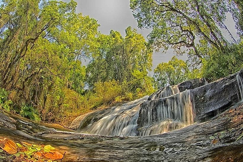
Guided foot treks follow steep, narrow dirt trails that descend to various viewing ledges overlooking the main plunge pool. A specialized trail leads directly behind the rushing water curtain into the historic Phoka Slave Cave, allowing for close-range geological exploration. Landscape and long-exposure water photography are highly popular from the open rock platforms opposite the drop face. Bird watching is active along the canyon rim, with regular sightings of specialized raptors, swifts, and forest weavers.
Infrastructure & Amenities
The landmark operates as a low-intensity, community-managed natural site and possesses very basic infrastructure. A rudimentary wooden viewing platform with a simple safety railing is built at the main upper viewpoint. There are no public restrooms, running water facilities, or trash disposal systems on-site. No formal food or beverage vendors operate at the entrance, requiring visitors to carry independent provisions. Natural shade is abundant under the dense rainforest canopy along the approach paths. Cellular network signal (4G) is weak and highly inconsistent within the deep gorge, fluctuating along the upper cliff edge depending on weather conditions.
Best Time to Visit
The optimal months for visiting are from May to October during the dry season, when the unpaved Gorodi Road is dry and the hiking trails are safe and non-slip. The early morning window between 06:30 and 08:30 provides the best angled, directional sunlight that directly illuminates the face of the waterfall and often creates rainbows in the mist before the sun moves overhead. The rainy season from November to April delivers maximum water volumes but makes the steep dirt trails exceptionally slick and dangerous, while dense mountain fog frequently obscures the entire valley view.
Facts & Legends
A verified historical oddity of the site is that in 1905, the pioneering missionary Dr. Robert Laws utilized the natural hydraulic head of the Manchewe Falls to install Malawi's first operational hydro-electric generator, successfully piping electricity up to the Livingstonia Mission campus long before the major colonial administrative towns had electrical infrastructure. Local oral history dictates that the hidden cave behind the falls was never discovered by slave raiders due to the deafening acoustic roar of the water, which effectively masked the voices and movements of the hundreds of villagers hiding inside.
Nearby Landmarks
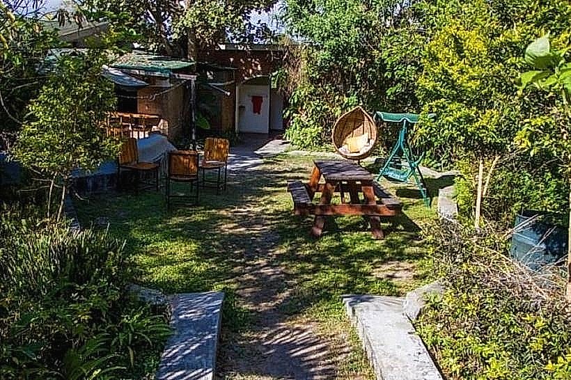
The Mushroom Farm Eco-Lodge – 0.6km East
Livingstonia Mission Green – 4.2km West
Stone House Museum – 4.2km West
Chitimba Lakeshore Settlement – 10.8km East
Chombe Plateau Crest – 6.5km Northwest