Landmark: Al Fizayah Beach
City: Salalah
Country: Oman
Continent: Asia
Al Fizayah Beach, Salalah, Oman, Asia
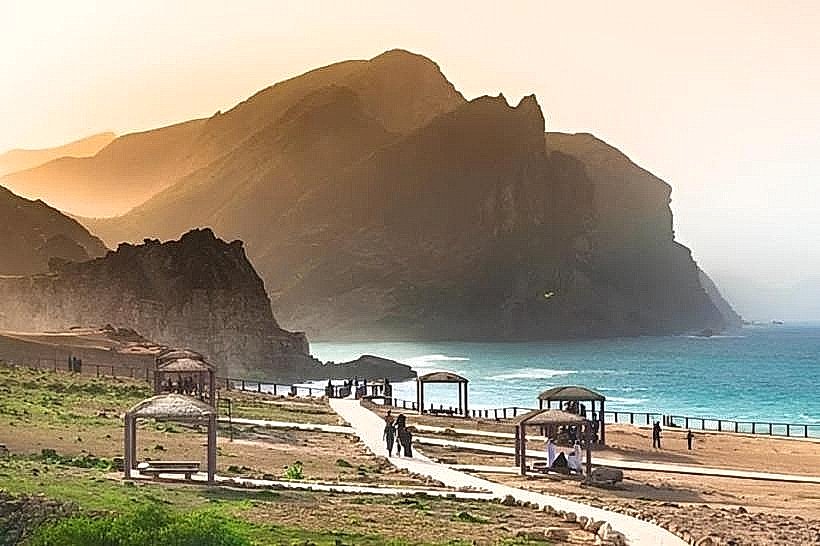
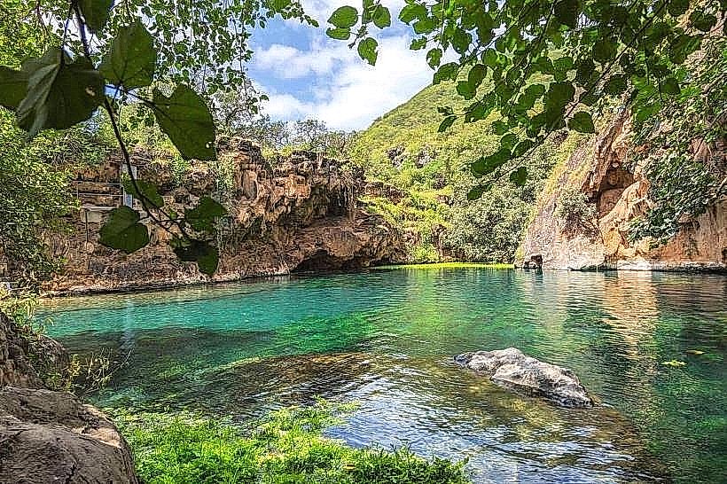
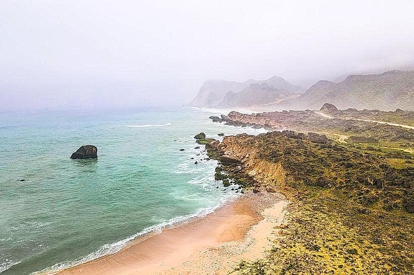
Al Fizayah Beach is a stretch of pristine coastline located along the Arabian Sea in the Dhofar region. The site is positioned approximately 64 kilometers west of Salalah, situated at the base of the Qamar mountain range.
Visual Characteristics
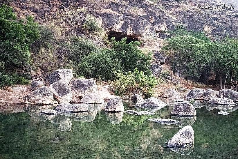
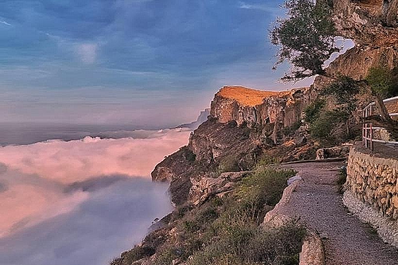
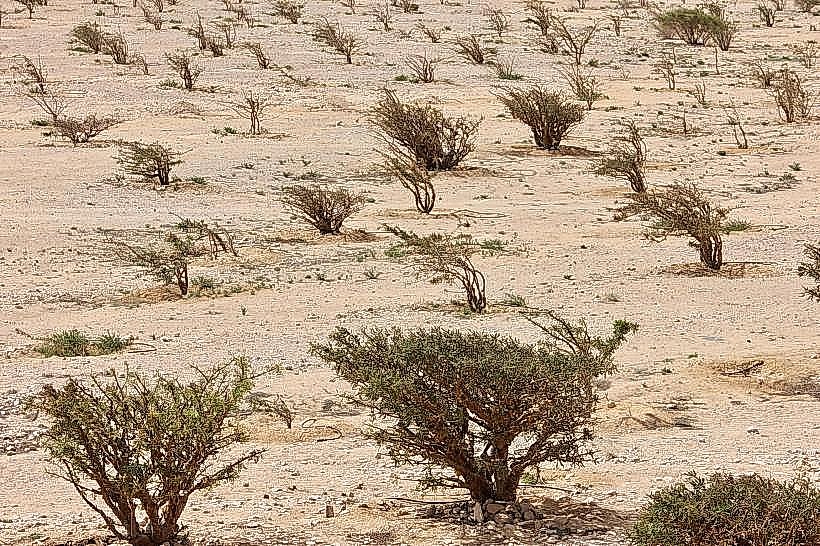
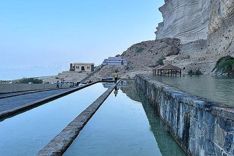
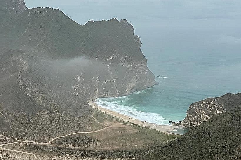
The beach features fine, white quartz sand interspersed with dark, jagged limestone rock formations. The water is characterized by a deep turquoise gradient that transitions to dark blue further from the shore. The coastline is flanked by steep, arid cliffs composed of sedimentary rock layers, with sparse vegetation consisting primarily of frankincense trees and desert shrubs.
Location & Access Logistics
Access is via the Salalah-Sarfait Road (Route 47), involving a steep descent through a series of hairpin turns on a graded gravel track. A 4WD vehicle is required to navigate the final 6-kilometer downward stretch to the shore. There is no formal parking lot, and visitors park on the flat sand plateaus above the high-tide line. No public transportation or bus lines serve this remote location.
Historical & Ecological Origin
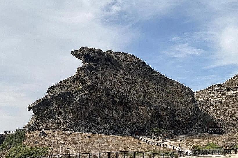
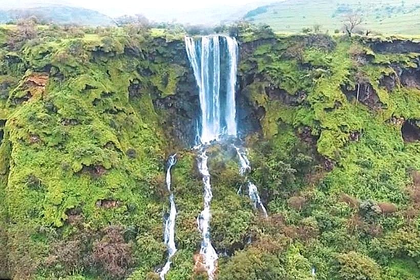
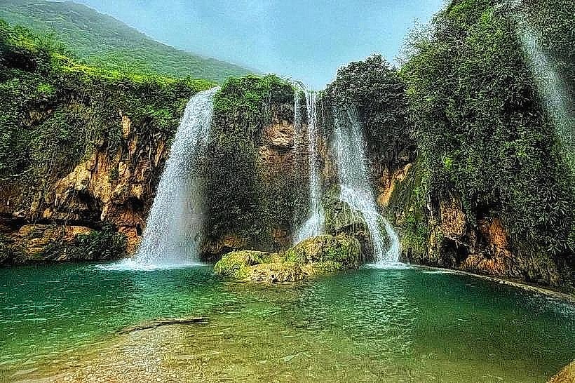
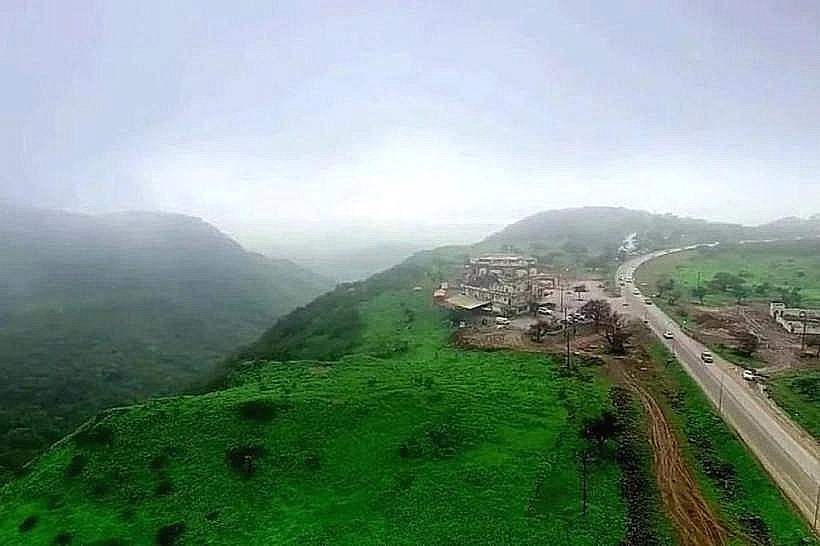
The beach is part of the Jabal Al Qamar mountain ecosystem, a geological formation resulting from tectonic uplift during the late Cretaceous period. Ecologically, it serves as a nesting ground for several species of sea turtles and is part of a delicate marine environment that remains largely undeveloped for commercial or industrial use.
Key Highlights & Activities
Swimming is possible, though strong riptides are common during the monsoon season. The rock pools at the western end of the beach provide opportunities for observing small marine life during low tide. The lack of light pollution makes the area a specific site for astrophotography. Camel herds are frequently seen traversing the shoreline from the nearby mountain valleys.
Infrastructure & Amenities
The site lacks all formal infrastructure. There are no restrooms, shaded structures, or food vendors. Cell phone signal (4G/5G) is non-existent or highly unstable due to the surrounding cliff walls. Visitors must carry all necessary water, food, and emergency supplies.
Best Time to Visit
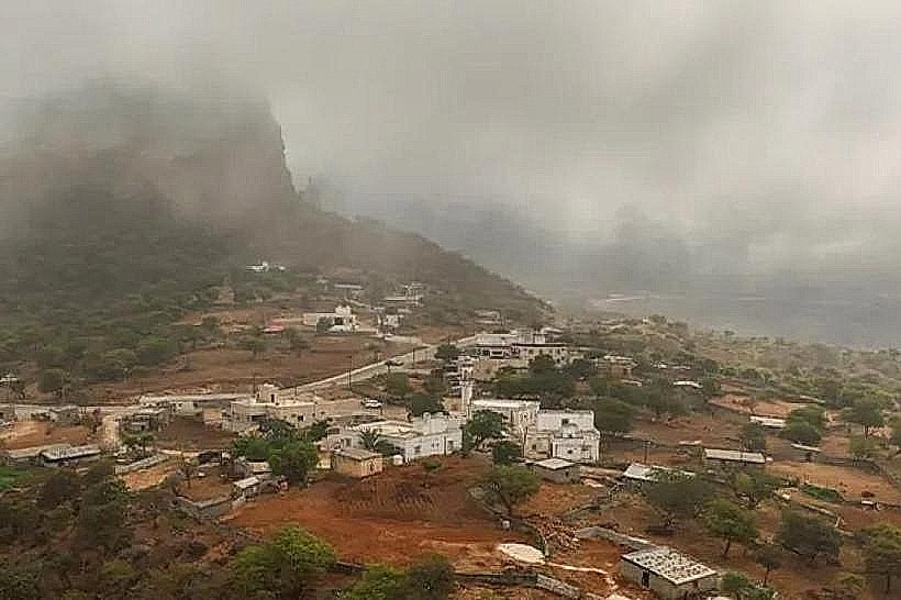
The optimal period for visiting is between October and April when the sea is calm and the sky is clear. For photography, the early morning (golden hour) provides side-lighting on the cliffs, while sunset offers direct illumination of the western rock formations. During the Khareef (June to September), the beach is often inaccessible due to high waves and dense fog.
Facts & Legends
A local oddity involves the "hidden" frankincense trees growing in the crevices of the cliffs above the beach, which were historically harvested by mountain tribes using precarious rope systems. Legend among local Bedouins suggests that the deep sea caves along the coastline were once used as storage sites by ancient maritime traders seeking shelter from seasonal storms.
Nearby Landmarks
Mughsail Blowholes (25km East)
Marneef Cave (25.5km East)
Shaat Hidden Beach Overlook (30km West)
Jabal Al Qamar Viewpoint (15km North)