Landmark: Rakhyut Beach
City: Salalah
Country: Oman
Continent: Asia
Rakhyut Beach, Salalah, Oman, Asia
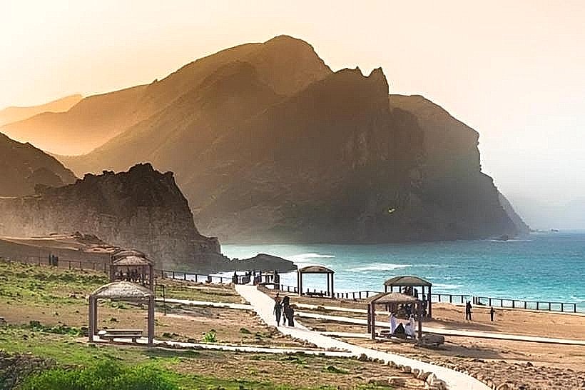
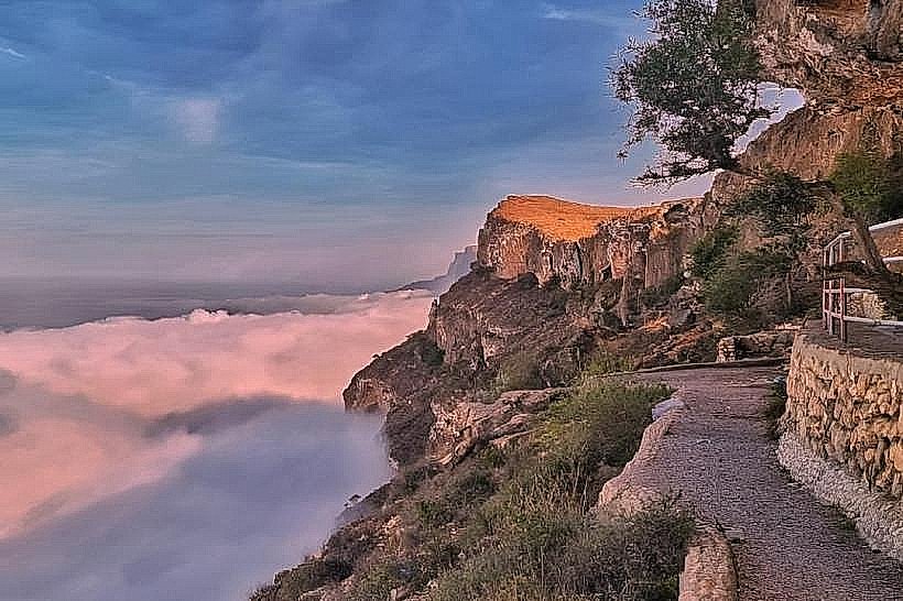
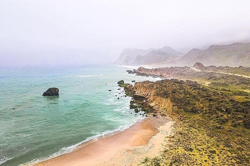
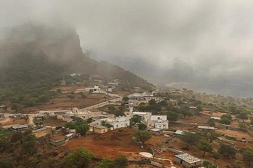
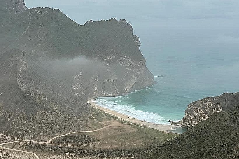
Rakhyut Beach is a secluded coastal expanse located on the shores of the Arabian Sea in the western region of Dhofar. The site is situated approximately 145 kilometers west of Salalah, positioned at the base of the steep limestone cliffs of the western Al Qamar mountain range.
Visual Characteristics
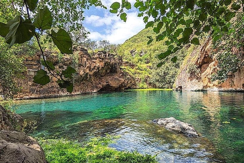
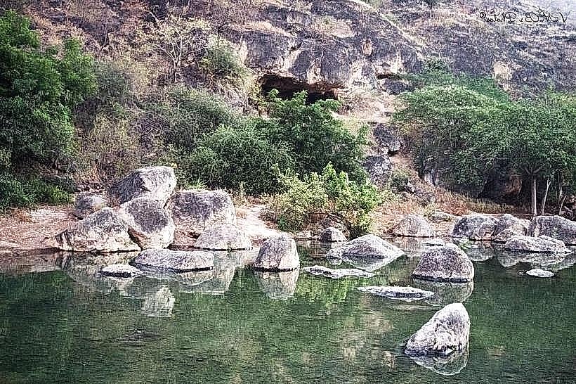
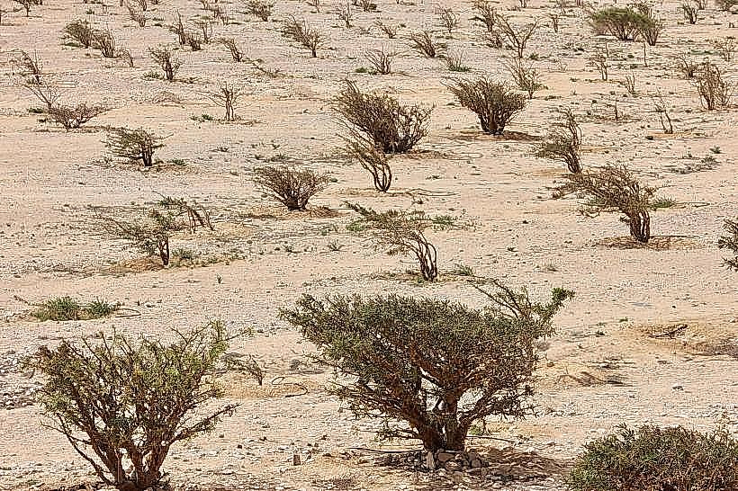
The beach is characterized by a long arc of greyish-white sand composed of pulverized shell and quartz. The shoreline is punctuated by dark volcanic rock outcroppings and smoothed limestone boulders that have fallen from the adjacent cliffs. The water exhibits a deep emerald green hue near the shore, transitioning to navy blue. Vegetation is dense along the wadi entrance, featuring coconut palms, tamarind trees, and seasonal grasses that turn vibrant green during the monsoon.
Location & Access Logistics
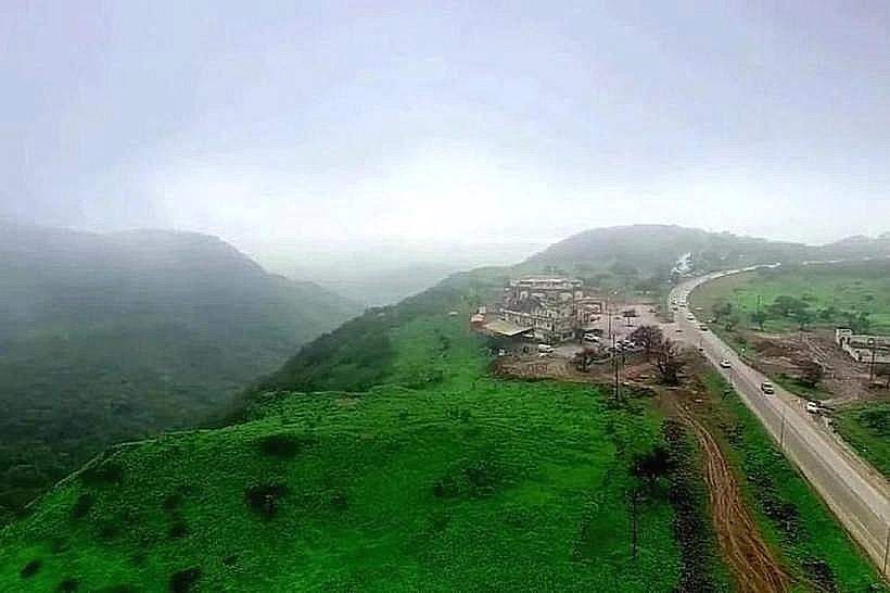
Access is via the Salalah-Sarfait Road (Route 47), involving a 20-kilometer detour down a steep, winding mountain pass into the Rakhyut basin. The drive from Salalah takes approximately 2.5 hours via private vehicle. A paved road leads directly to the village and the beachfront. There is an open gravel parking area near the local government building and the beach entrance. No public bus lines serve this remote village; transport is limited to private 4WD vehicles or local taxis.
Historical & Ecological Origin
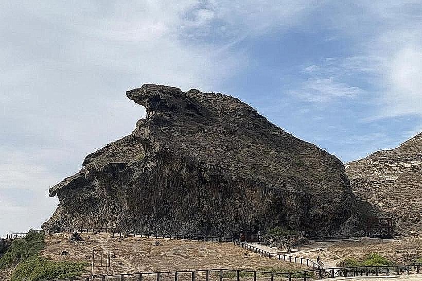
The beach sits at the mouth of Wadi Rakhyut, a geological drainage basin carved into Eocene limestone. Historically, the area served as a strategic maritime outpost for the incense trade and a sheltered harbor for fishing dows. Ecologically, the brackish lagoon (khawr) located just behind the beach serves as a protected habitat for migratory birds, including flamingos and herons, and sustains a unique mangrove pocket.
Key Highlights & Activities
Swimming is common in the sheltered areas of the bay, though waves can be hazardous during high tide. The western end of the beach features several sea caves accessible only during low tide. Fishing is a primary activity, and visitors can observe local fishermen launching traditional dows from the shore. The adjacent lagoon offers opportunities for birdwatching and photography of the mountain-to-sea transition.
Infrastructure & Amenities
The village of Rakhyut provides basic infrastructure, including public restrooms near the municipal office and a small health center. Shaded masonry huts are available along the beachfront for public use. There are small grocery stores and one or two local cafes in the village within 500 meters of the sand. Cell phone signal (4G) is stable within the village but drops significantly when moving along the coast toward the cliffs.
Best Time to Visit
The optimal visiting period is from October to April for clear skies and calm sea conditions. For photography, the early morning provides the best light as the sun rises over the eastern cliffs, illuminating the lagoon. During the Khareef (June to September), the beach is subject to extreme humidity, heavy mist, and restricted swimming due to high energy wave action.
Facts & Legends
A specific local oddity is the presence of an ancient cemetery near the beach with tombstones aligned toward the sea, believed to belong to sailors and traders from the pre-Islamic era. Local legend tells of a "disappearing" spring located in the cliffs above the beach that only flows when specific tribal elders perform a rain-seeking ritual. A tip for visitors is to explore the rocky tide pools at the far west end, which often contain rare shells and small crustaceans not found in the eastern Dhofar beaches.
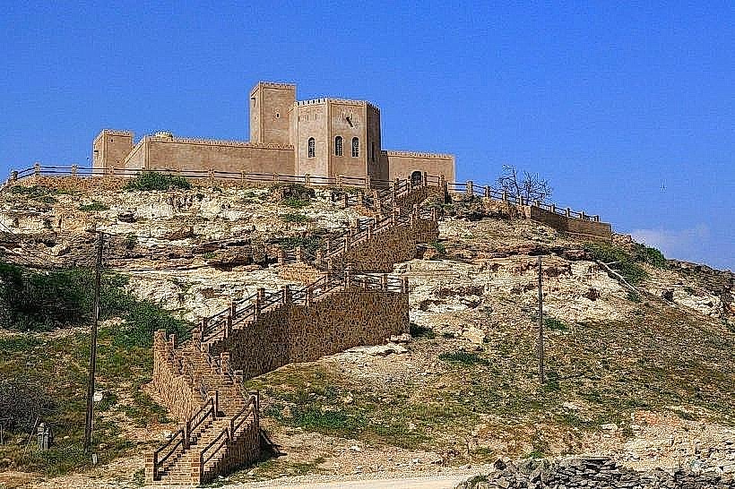
Nearby Landmarks
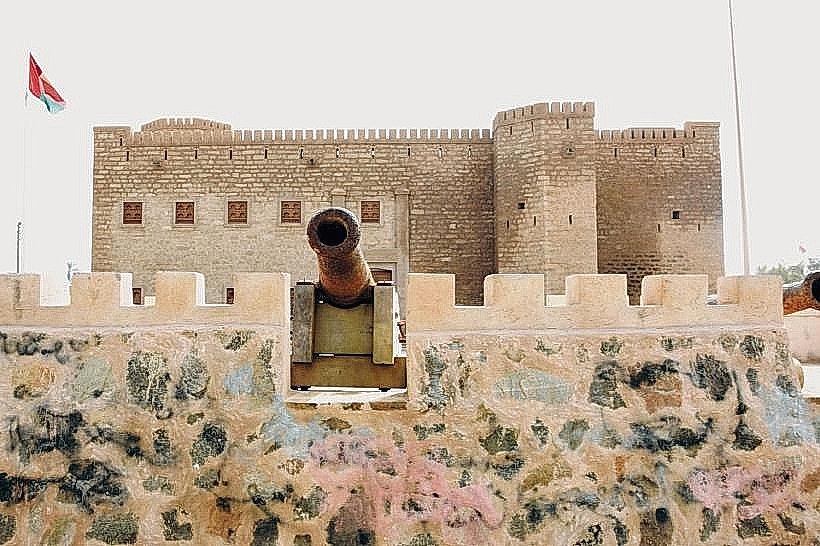
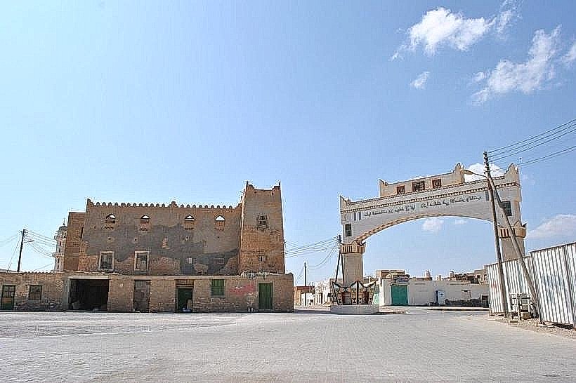
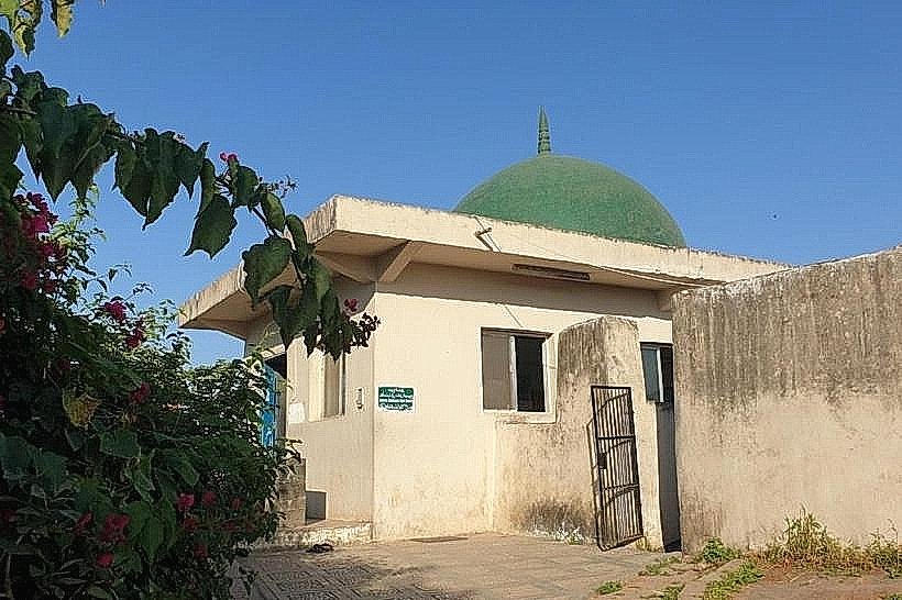
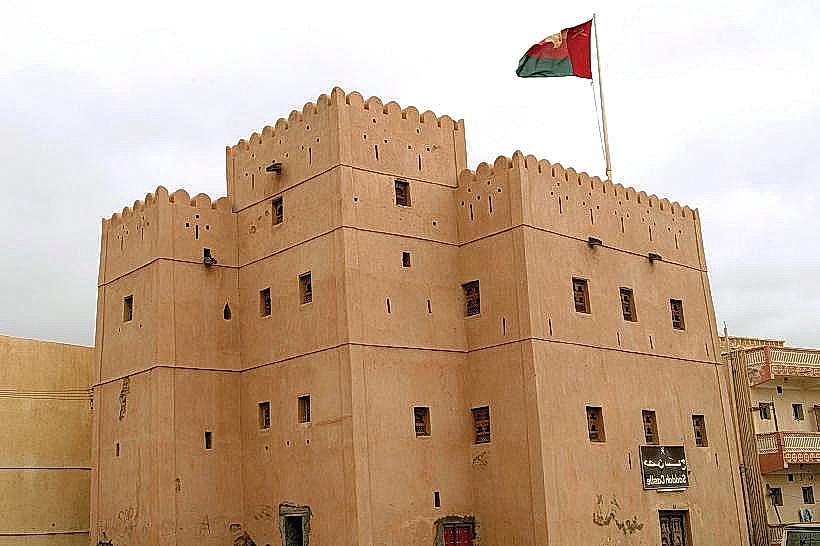
Rakhyut Fort (0.3km North)
Sayq Village Overlook (12km Northeast)
Al Fizayah Beach (45km East)
Sarfait Border Post (40km West)