Landmark: Dhalkut Village
City: Salalah
Country: Oman
Continent: Asia
Dhalkut Village, Salalah, Oman, Asia
Dhalkut Village is a remote coastal settlement situated at the westernmost edge of the Dhofar Governorate. It is located approximately 160 kilometers west of Salalah, positioned less than 10 kilometers from the international border with Yemen.
Visual Characteristics
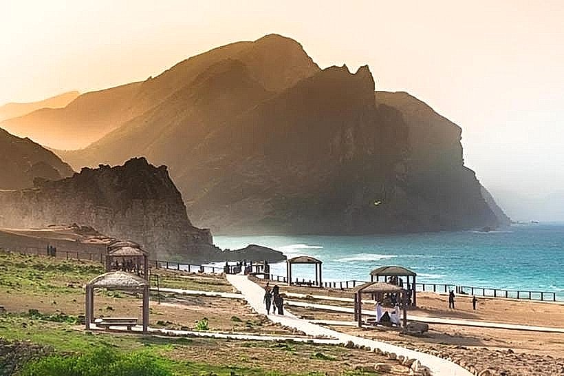
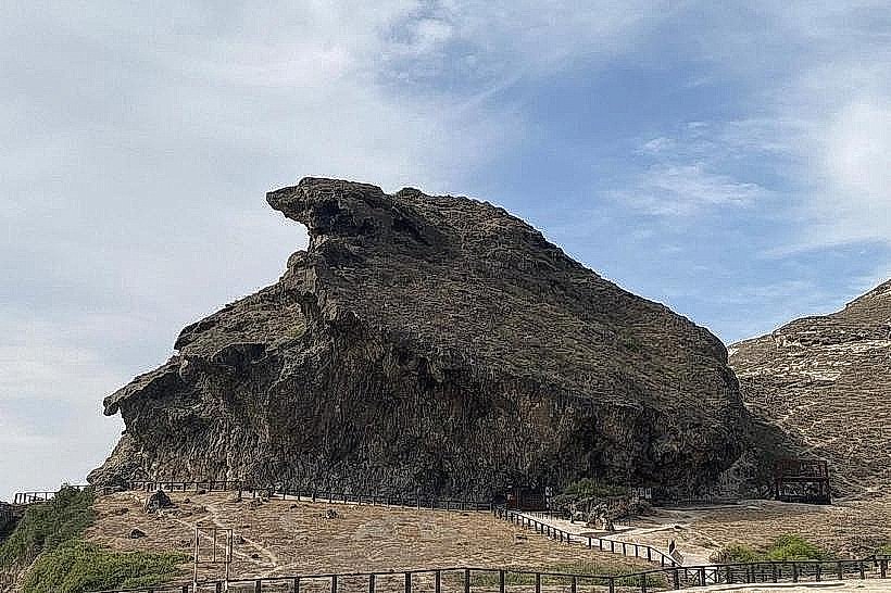
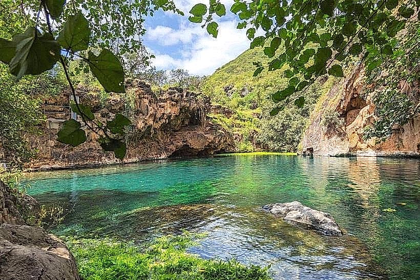
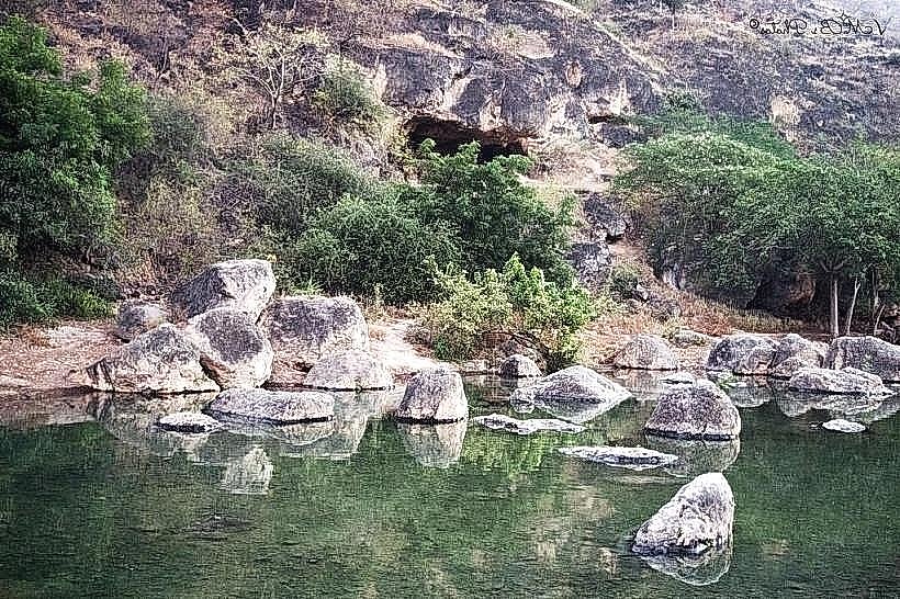
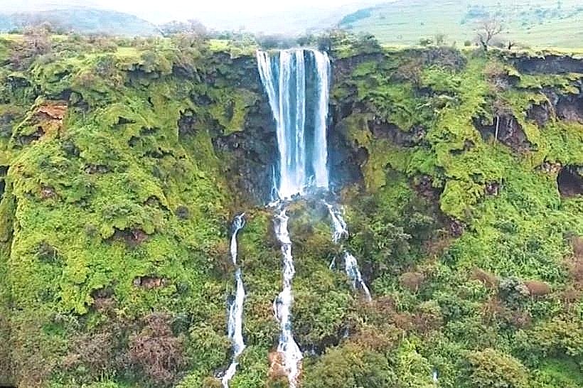
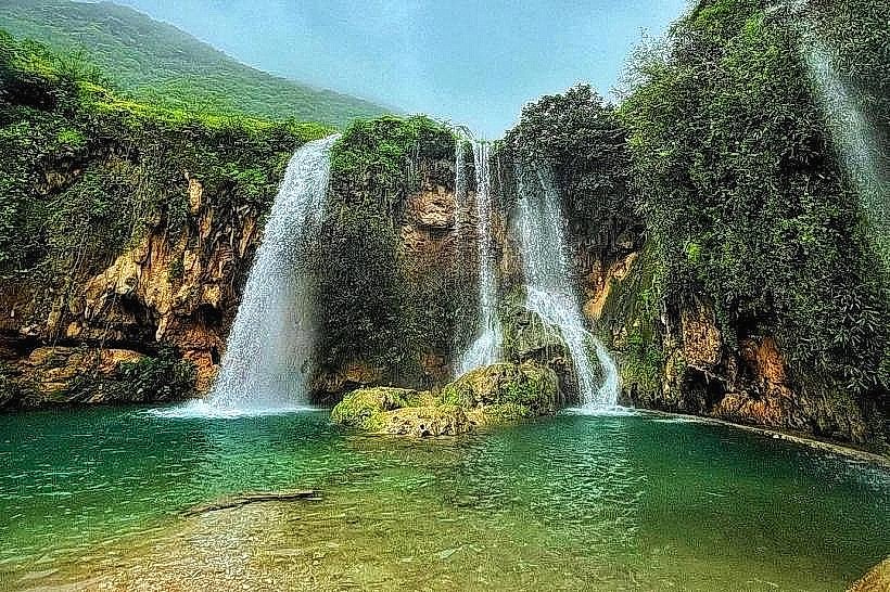
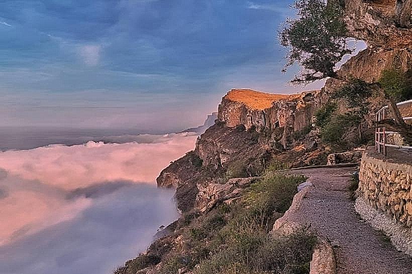
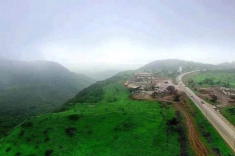
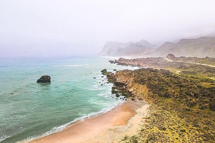
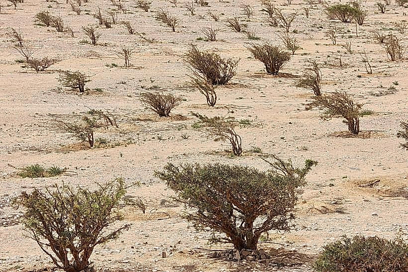
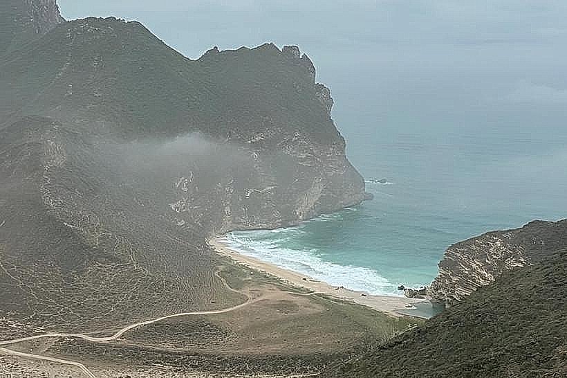
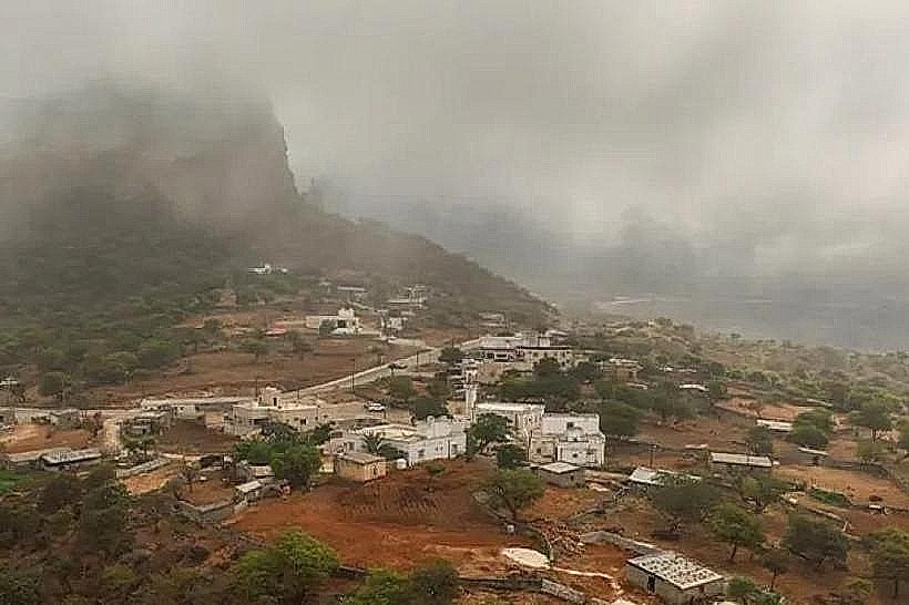
The village is set within a deep coastal basin where the Al Qamar mountains meet the Arabian Sea. The landscape is characterized by steep, limestone cliffs covered in dense, subtropical vegetation including large baobab and tamarind trees. The architecture consists of a mix of modern concrete residential blocks and older stone structures, often painted in white or light pastel tones. The beach area features dark grey sand and large, smooth boulders, while the inland wadi sections contain lush green meadows and stagnant freshwater pools during the post-monsoon months.
Location & Access Logistics
Access is via the Salalah-Sarfait Road (Route 47). The route involves a significant ascent over the mountains followed by a steep, winding descent into the village basin. The drive from Salalah takes approximately 3 hours. The roads are paved but subject to seasonal fog and rockfalls. There is no formal public bus system; visitors must use private 4WD vehicles or long-distance taxis. Small gravel and paved parking areas are available near the local government buildings and the beach.
Historical & Ecological Origin
Dhalkut is geologically part of the Jabal Al Qamar limestone massif, which was shaped by tectonic uplift and subsequent erosion. Historically, the village served as an isolated maritime trade post and a center for fishing and livestock rearing. It is ecologically significant for hosting some of the oldest and largest Adansonia digitata (baobab) trees in the Arabian Peninsula, remnants of an ancient African botanical link preserved by the unique Dhofari microclimate.
Key Highlights & Activities
Visitors typically visit the ancient baobab tree located in the center of the village, which features a massive, hollowed-out trunk. Hiking is possible on the old mountain trails that once connected the village to the plateau. The coastline offers opportunities for viewing traditional fishing activities and migratory seabirds. Exploring the sea caves along the base of the cliffs is a common activity during low tide, though caution is required regarding tide timing.
Infrastructure & Amenities
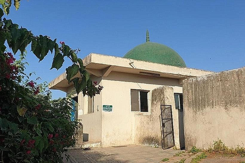
The village provides essential services including a small health center, a local police station, and a municipal office. There are public restrooms located near the main mosque and the baobab tree site. A few small grocery shops and a local cafe provide basic food and water. Cell phone signal (4G) is available in the village center but is often obstructed by the surrounding mountains when traveling on the access roads.
Best Time to Visit
The peak season is the Khareef (June to September), when the entire basin turns vibrant green and is shrouded in mist, though road visibility is poor. The months of October and November offer the best balance of green scenery and clear roads. For photography, the late afternoon light is best for capturing the baobab trees and the cliffs. Winter (December to February) provides the most comfortable temperatures for hiking.
Facts & Legends
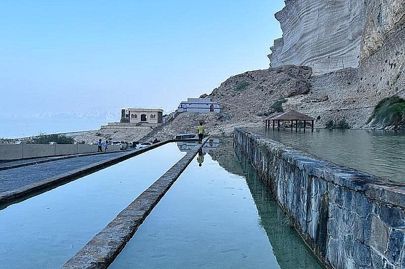
A specific historical oddity is the "Baobab of Dhalkut," which is estimated to be several hundred years old; its hollow trunk was historically used as a temporary shelter for travelers and a meeting place for village elders. Local lore tells of an ancient underwater spring located off the coast that was used by sailors to replenish fresh water directly from the sea floor. A secret tip for visitors is to look for the fossilized remains of marine life embedded in the limestone walls of the wadi leading into the village.
Nearby Landmarks
Sarfait Border Post (15km West)
Rakhyut Village (35km East - via mountain road)
Sayq Plateau Viewpoint (22km Northeast)
Shaat Overlook (45km East)