Landmark: Jebel Samhan
City: Salalah
Country: Oman
Continent: Asia
Jebel Samhan, Salalah, Oman, Asia
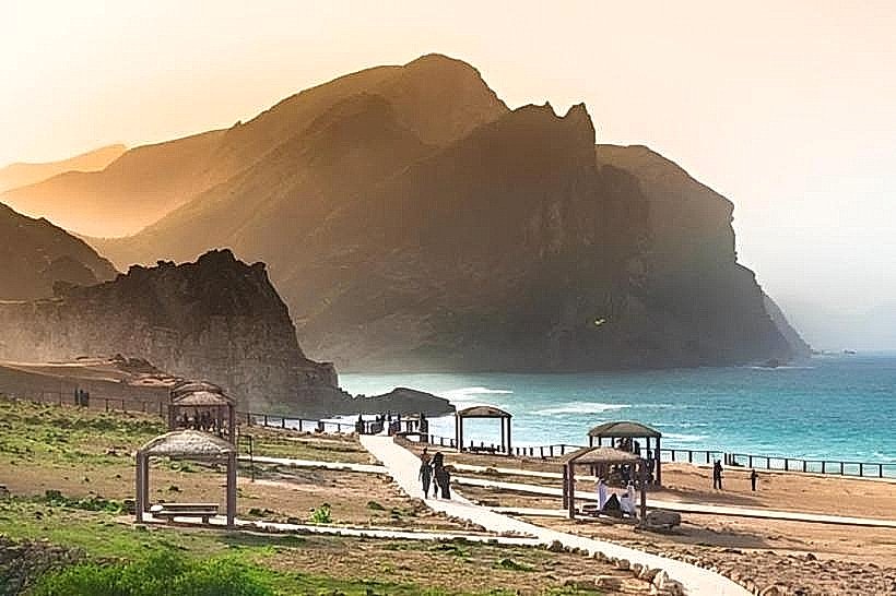
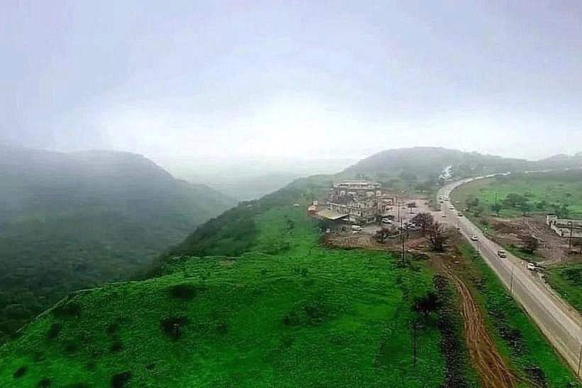
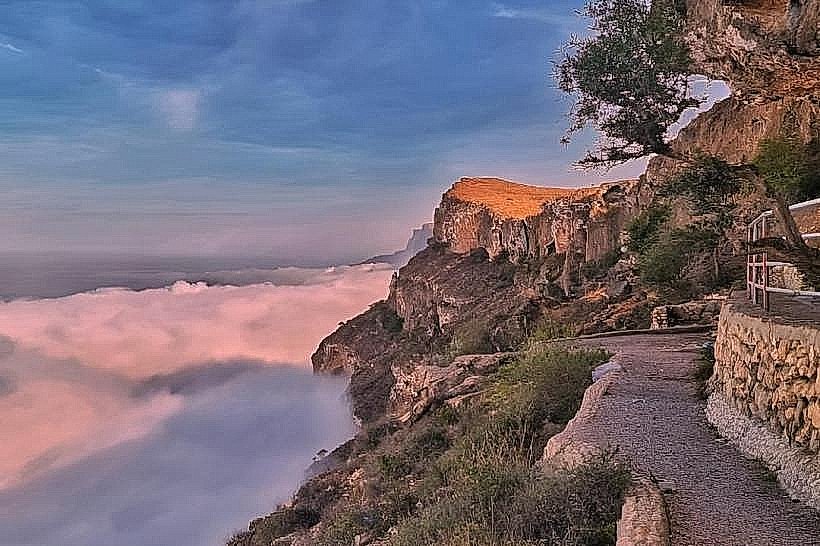
Jebel Samhan is the highest mountain range in the Dhofar Governorate, reaching a peak elevation of 2,100 meters. It functions as a massive limestone plateau that terminates in a dramatic 1,000-meter vertical escarpment, offering one of the most significant territorial overlooks in the Sultanate of Oman.
Visual Characteristics
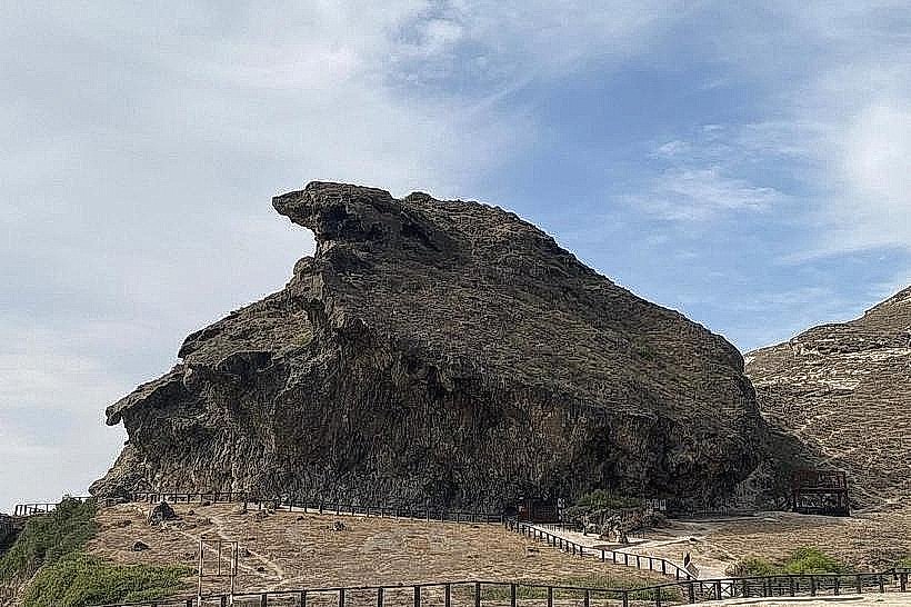
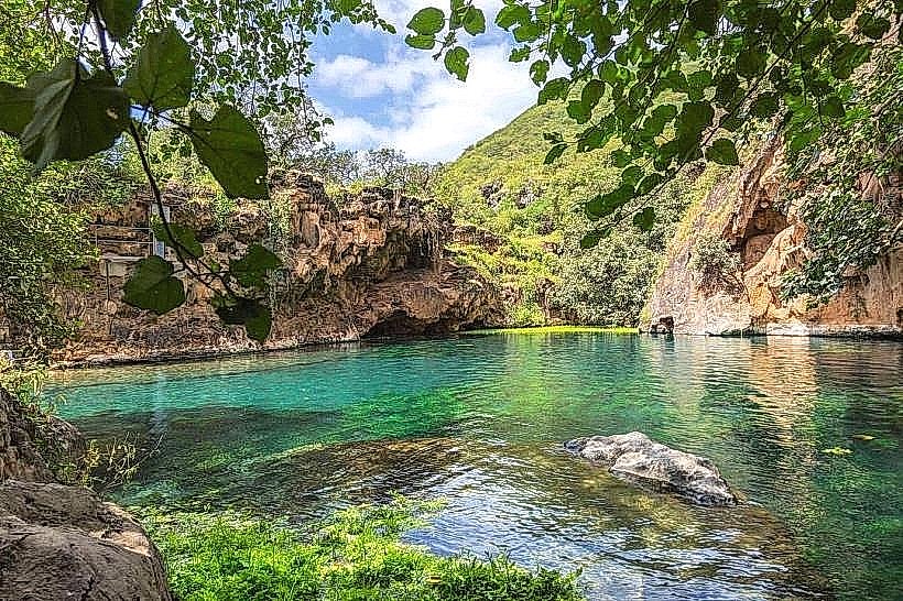
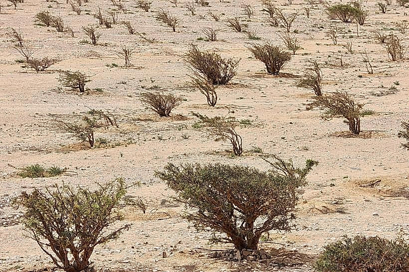
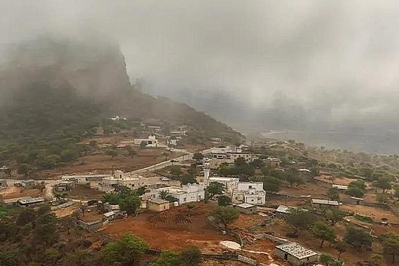
The landscape is characterized by a stark, rocky limestone plateau that drops abruptly into a deep coastal plain. The view from the "Grand Canyon of Dhofar" often features a "sea of clouds" during the monsoon season, where the mist settles below the cliff edge. The vegetation is sparse, consisting of ancient frankincense trees, acacias, and dragon blood trees (Dracaena serrulata) clinging to the rocky terrain.
Location & Access Logistics
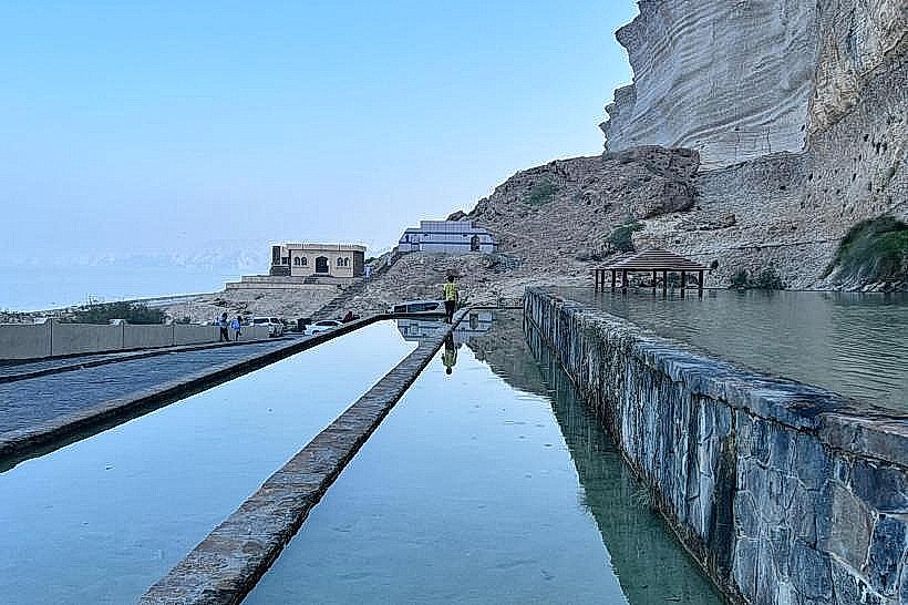
The mountain is located approximately 75km east of Salalah. Access is via the Salalah-Mirbat Road (Route 49), followed by a steep, winding ascent on a paved mountain road through the town of Tawi Attair. A 4WD vehicle is recommended for exploring unpaved tracks on the plateau, though the main viewing point is accessible by standard sedan. There is no public transportation to the summit.
Historical & Ecological Origin
Jebel Samhan is a declared Nature Reserve, serving as one of the last remaining wild habitats for the critically endangered Arabian Leopard. Geologically, it is a massive tilted block of Eocene limestone. Historically, the mountain was a strategic barrier and a source of high-quality frankincense resin, which was harvested from the wadis cutting into its base.
Key Highlights & Activities
The primary activity is visiting the Jebel Samhan Viewpoint, which provides an unobstructed view of the coastal plain and the Arabian Sea from over 1,000 meters above sea level. The area is a major destination for high-altitude hiking, stargazing due to minimal light pollution, and wildlife spotting. The nearby Tawi Attair Sinkhole, one of the deepest in the world, is a secondary attraction on the ascent.
Infrastructure & Amenities
Infrastructure at the summit is minimal to preserve the wilderness. There are no permanent restrooms, restaurants, or hotels on the plateau. Visitors must be self-sufficient with fuel, food, and water. 4G cellular signal is available at the main viewpoint but drops off quickly in the interior valleys. The nearest commercial services are located 25km away in the town of Taqah or Mirbat.
Best Time to Visit
The peak period is during the Khareef (June to September) to witness the cloud phenomenon, though the view may occasionally be obscured by thick fog. The winter months (October to April) offer the clearest skies for panoramic photography and hiking. Temperatures at the summit are significantly lower than in Salalah, often dropping below 15°C at night, requiring appropriate clothing.
Facts & Legends
Local folklore suggests the mountain was a refuge for ancient spirits, a belief likely fueled by the deep, inaccessible canyons. A verified biological fact is that the Jebel Samhan Nature Reserve encompasses over 4,500 square kilometers, making it one of the largest protected land areas in the Arabian Peninsula, specifically managed to prevent the extinction of the Arabian Leopard.
Nearby Landmarks
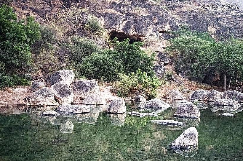
Tawi Attair Sinkhole: 12km West
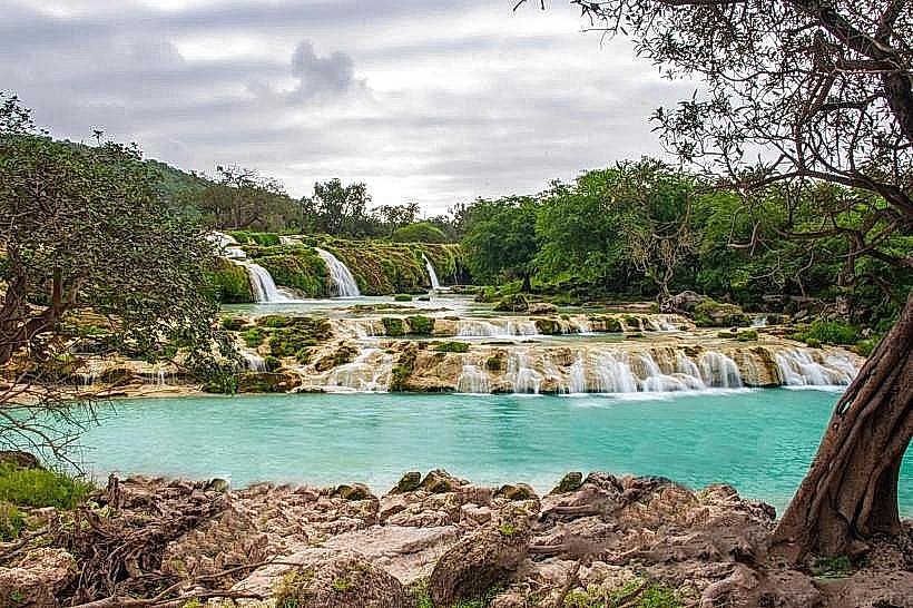
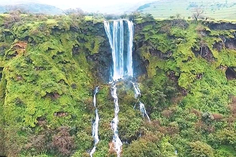
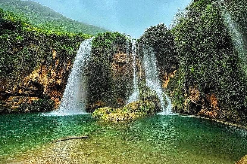
Wadi Darbat: 25km West
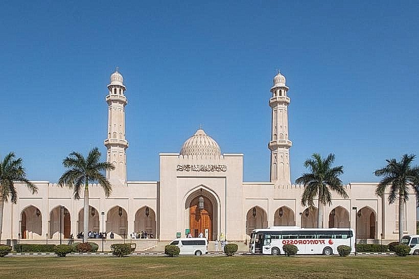
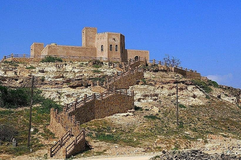
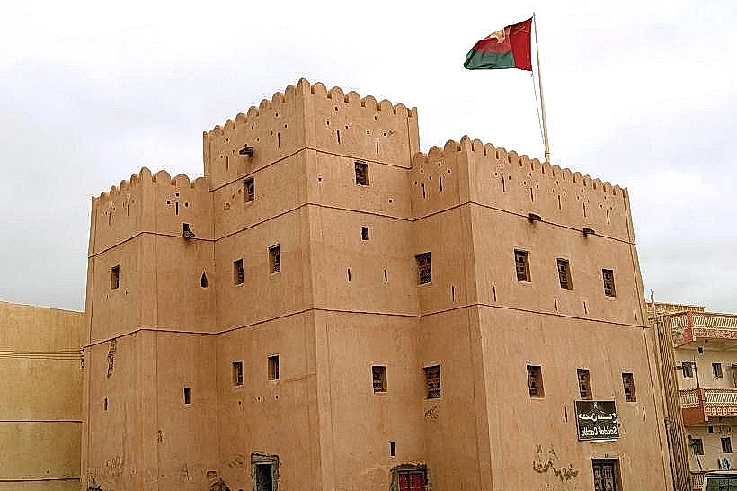
Mirbat Castle: 30km South
Anti-Gravity Point: 20km West
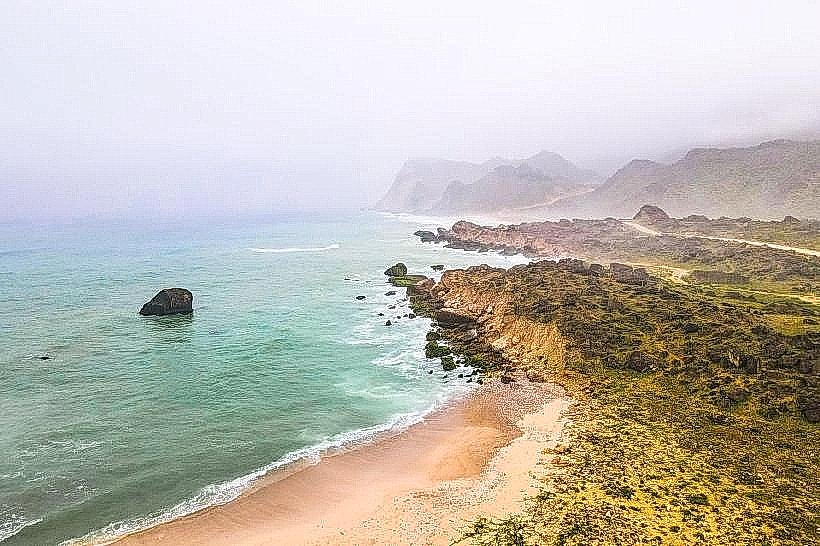
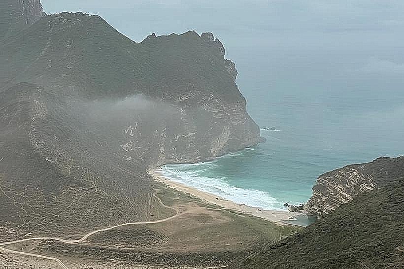
Santi Beach: 35km South