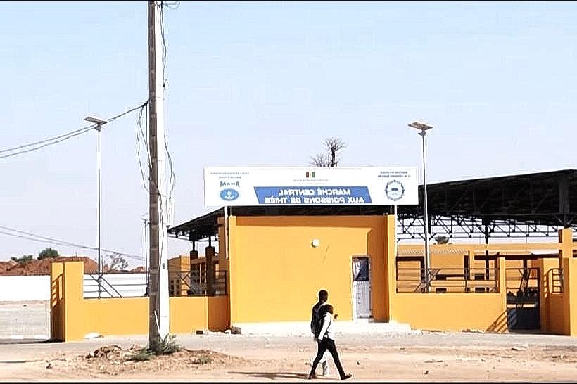
Landmark: Cayar Fish Market
City: Thies
Country: Senegal
Continent: Africa
Cayar Fish Market, Thies, Senegal, Africa
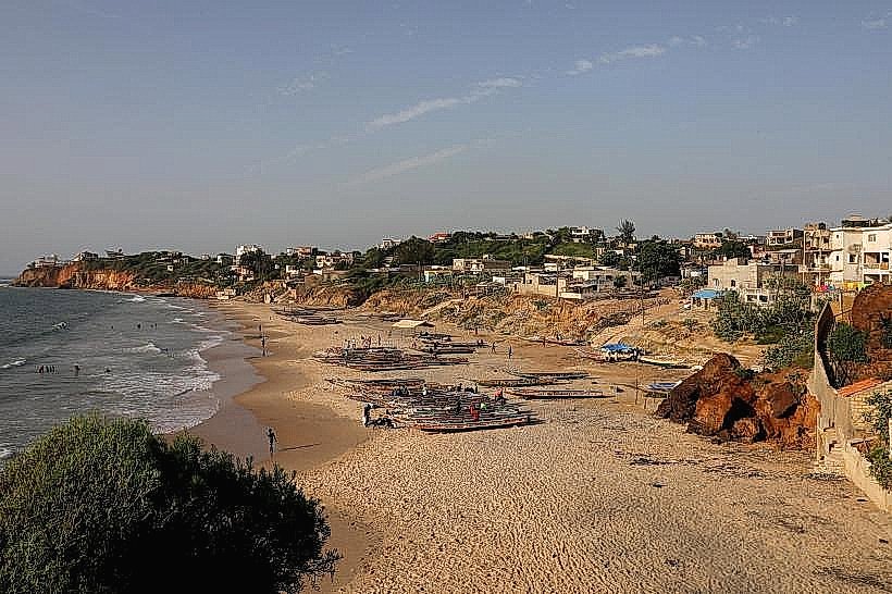
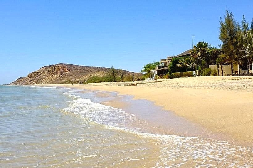
The Cayar Fish Market (Marché de Poisson de Cayar) is the third-largest traditional fishing center in Senegal, located on the Grande Côte, approximately 60km north of Dakar. It is a critical economic hub for the artisanal fishing industry in West Africa.
Visual Characteristics
The market is defined by its massive, high-density concentration of colorful "pirogues" (traditional wooden fishing boats) lined up along a wide, sandy beach.
The Shoreline: Thousands of boats, painted with intricate geometric patterns and religious symbols, dominate the waterfront.
The Activity: A constant, high-energy movement of "porters" carrying baskets of fish on their heads from the boats to the shore.
The Smoke: Thick plumes of white and grey smoke rise from the traditional processing area, where hundreds of women smoke and dry fish on elevated wooden racks.
The Colors: Brightly colored plastic crates, silver-scaled fish, and the vibrant fabrics of the market women create a dense visual mosaic.
Location & Access Logistics
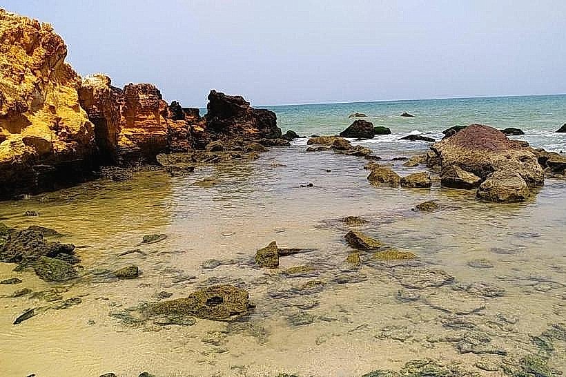
Cayar is situated in the Thiès Region, positioned between the Niayes agricultural zone and the Atlantic Ocean.
Access: Reached via the N2 national road or the Vdn 3 coastal road from Dakar. The drive takes approximately 1:15 to 1:30 hours.
Transit: Regular "sept-places" and minibuses (Ndiaga Ndiaye) run from the Beaux Maraîchers station in Dakar to the Cayar crossroads.
Parking: Large, unpaved sandy areas are located at the entrance to the village, though navigating the interior streets near the beach is difficult for large vehicles.
Historical & Ecological Origin
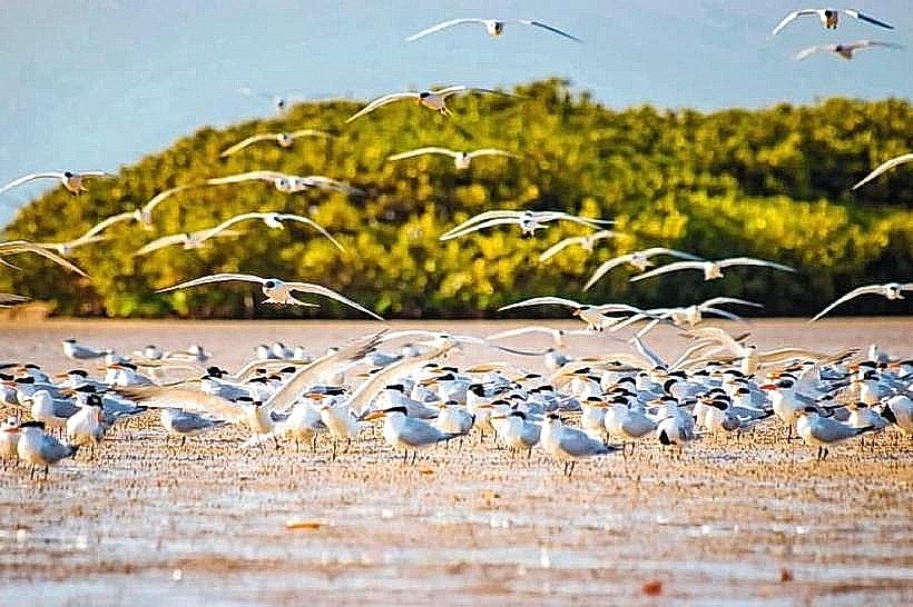
Cayar was originally a seasonal settlement for Lebou and Serer fishermen. It gained permanent status due to its proximity to a deep-sea canyon known as the "Fosse de Cayar," which brings nutrient-wellings close to the shore, attracting high concentrations of pelagic fish. Geologically, it sits on the northern sedimentary basin characterized by massive sand dunes that separate the ocean from the inland "Niayes" depressions used for farming.
Key Highlights & Activities
The Arrival: The most significant event is the return of the boats in the late afternoon (16:00–18:00), when the beach becomes a site of intense commercial negotiation.
Fish Processing: Visiting the "Santyaba" area to see the artisanal smoking (Ketiakh) and salting (Sali) techniques used for preservation.
Auctioning: Observing the "Mareyeurs" (wholesalers) who bid on large catches of Thiof (white grouper), sardines, and mackerel for export to Dakar and Europe.
The "Niayes" Walk: Exploring the fertile interdunal depressions behind the village where onions and potatoes are grown.
Infrastructure & Amenities
Commercial: The site includes a modern refrigeration center and a solar-powered ice plant to support the export chain.
Connectivity: 4G cellular signals are robust, though the density of people on the beach during the arrival can cause local network congestion.
Dining: Small local "shacks" near the beach serve extremely fresh grilled fish, though formal tourist restaurants are limited.
Safety: The beach is high-traffic; visitors should stay clear of the boat-landing zones where heavy pirogues are hauled onto the sand by teams of men.
Best Time to Visit
The best time to experience the full scale of the market is late afternoon (16:30 onwards). To see the preparation and the "Niayes" gardens, early morning (08:00–10:00) is preferable. The market is active year-round, but the largest catches occur during the "cold" season from January to May.
Facts & Legends
A local regulatory fact is that Cayar is one of the few places in Senegal with a self-imposed "rest day" for the sea; fishing is historically prohibited on certain days to allow stocks to replenish. A local tip: look for the "marabout" flags on the boat masts; each color and pattern represents a specific spiritual protection for the crew against the Atlantic's "Barre" (the dangerous breaking surf of the Grande Côte).
Nearby Landmarks
Lake Retba (Pink Lake) – 25km South
Thiès City Center – 35km Southeast
Lompoul Desert – 90km North
Niayes Agricultural Belt – 2km (Immediate East)
Blaise Diagne International Airport (DSS) – 45km South