Landmark: Pout Forest
City: Thies
Country: Senegal
Continent: Africa
Pout Forest, Thies, Senegal, Africa
The Forêt Classée de Pout is a protected woodland and ecological reserve located on the Thiès Plateau in western Senegal. It serves as a critical carbon sink and a buffer zone between the industrial mining areas of Thiès and the agricultural plains of the Niayes region.
Visual Characteristics
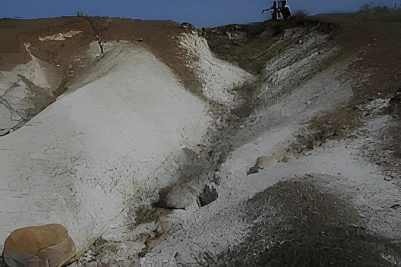
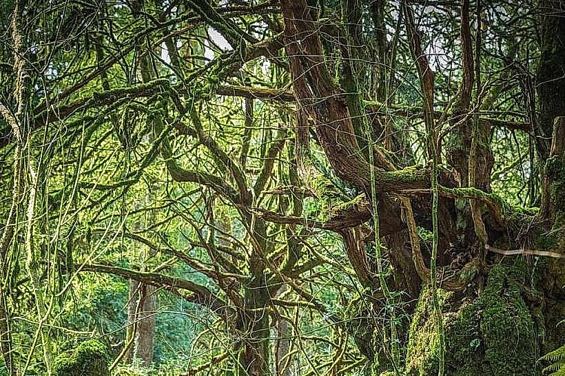
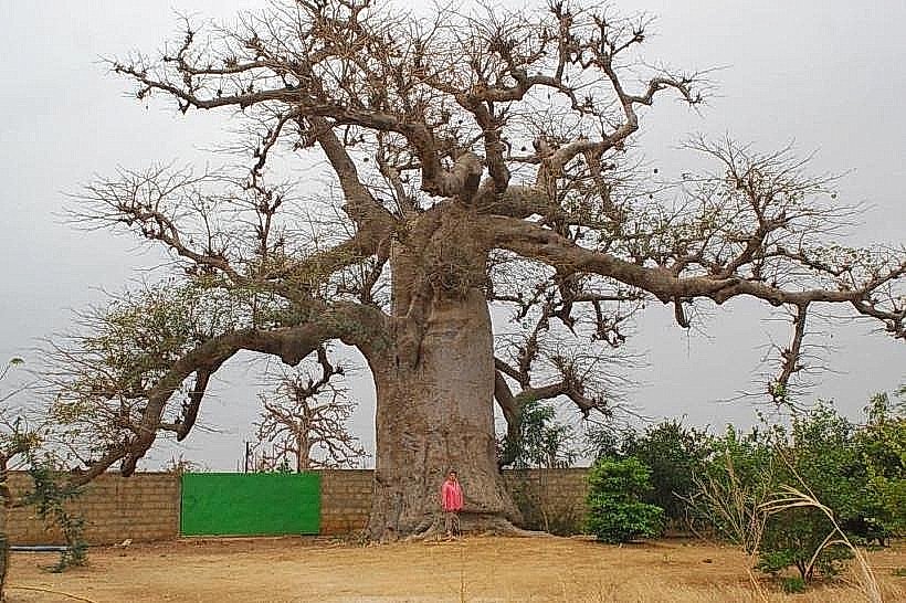
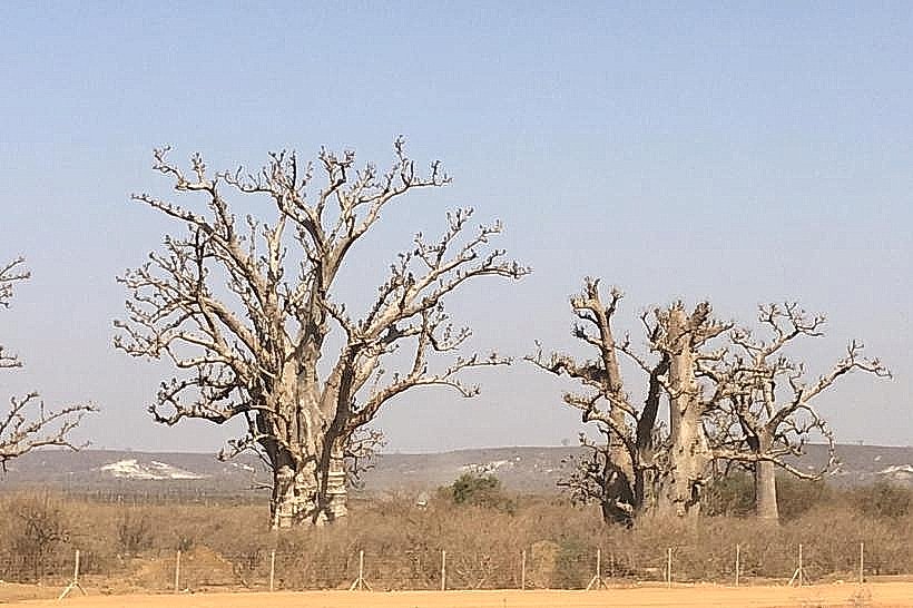
The forest is characterized by a sparse woody savannah structure dominated by ancient Baobab (Adansonia digitata), Acacia, and Eucalyptus trees. The ground cover consists of lateritic red soils and seasonal tall grasses that turn from vibrant green in the rainy season to a pale straw color during the dry months. Erosion gullies and limestone outcrops are visible throughout the undulating terrain, reflecting the plateau's sedimentary composition.
Location & Access Logistics
The forest is situated along the N2 national road, approximately 15km west of Thiès and 50km east of Dakar. Access is primarily via unpaved tracks branching off the main highway near the town of Pout. There are no formal paved roads within the interior; visitors typically utilize 4WD vehicles or mountain bikes. Public transport is available via Dakar-Thiès "sept-place" taxis which drop passengers at the Pout intersection, requiring a further 3km trek to the forest boundary.
Historical & Ecological Origin
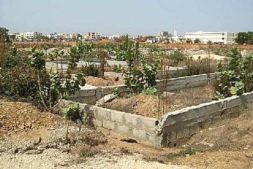
Classified as a protected forest during the colonial era (circa 1930s-1940s), the site was designated to prevent desertification and regulate the local microclimate. Geologically, it sits on the edge of the Thiès horst, a tectonic uplift area featuring phosphate-rich deposits which have historically led to nearby industrial quarrying.
Key Highlights & Activities
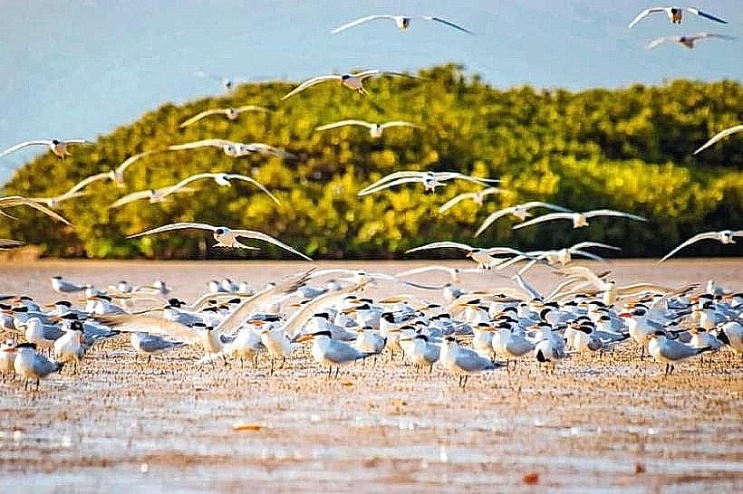
Birdwatching is a primary activity, as the canopy supports various West African avian species. The forest tracks are frequently used for cross-country cycling and off-road motorcycle excursions due to the varied elevation. Local communities engage in controlled harvesting of non-timber products, such as baobab fruit (bouye) and medicinal herbs.
Infrastructure & Amenities
Infrastructure is nearly non-existent within the protected perimeter. There are no public restrooms, visitor centers, or paved parking lots. Shade is available under large baobab canopies, but 4G cellular signal is inconsistent in deeper ravines while remaining strong on the plateau ridges. No food or water vendors operate inside the forest; supplies must be purchased in the nearby town of Pout.
Best Time to Visit
The optimal period for visitation is from July to October when the vegetation is at its most dense and the temperatures are slightly lower due to cloud cover. For photography, the dry season (January to April) provides high-contrast lighting that emphasizes the architectural silhouettes of the leafless baobab trees against the red soil.
Facts & Legends
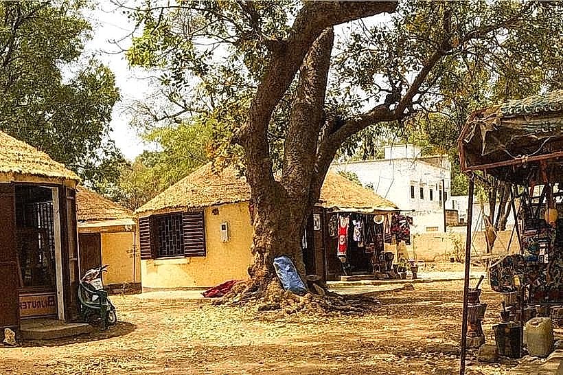
The forest is subject to ongoing reforestation efforts to combat "dieback" caused by changing water tables and nearby phosphate mining. Local folklore often identifies specific ancient baobabs as dwellings for ancestral spirits, and it is common to find small offerings or evidence of traditional ceremonies at the base of the largest trees near the village of Bandia.
Nearby Landmarks
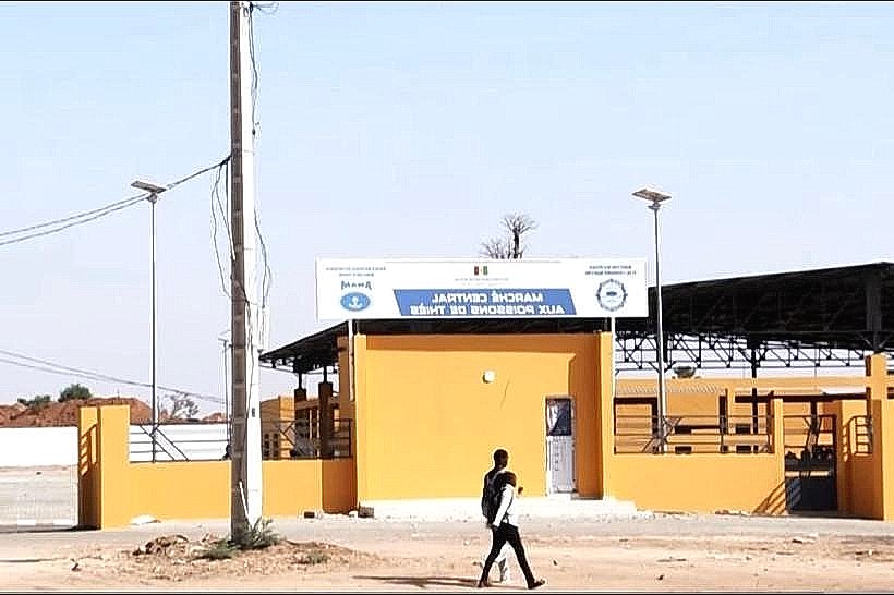
Pout Fruit Market – 4.2km West
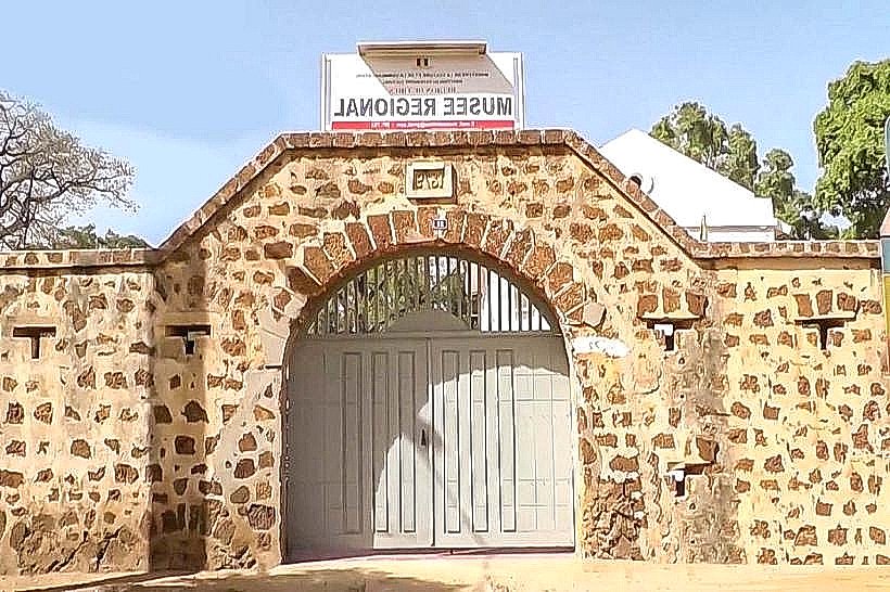
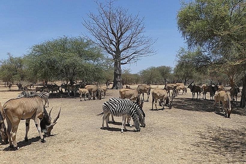
Bandia Reserve – 18.0km Southwest
Dangote Cement Factory – 6.5km Northwest
Mont-Rolland – 12.0km Northeast