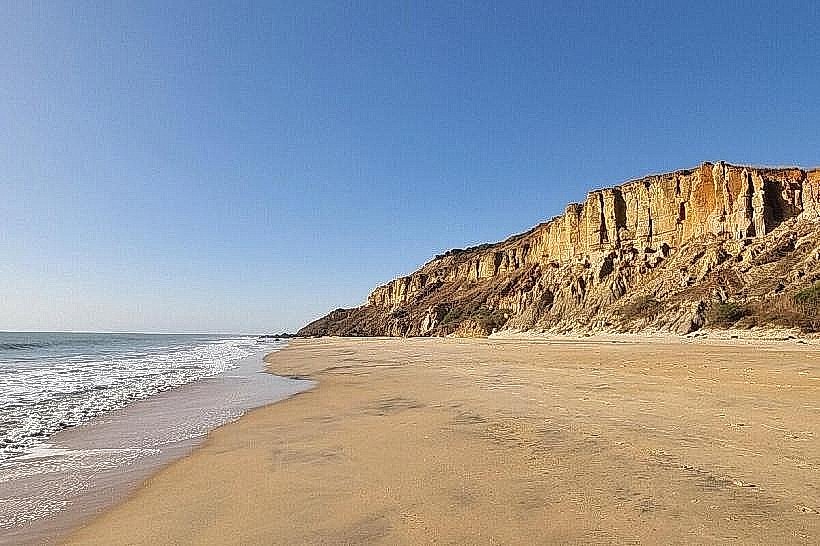
Landmark: Toubab Dialaw Cliffs
City: Thies
Country: Senegal
Continent: Africa
Toubab Dialaw Cliffs, Thies, Senegal, Africa
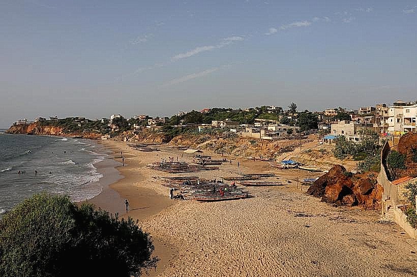
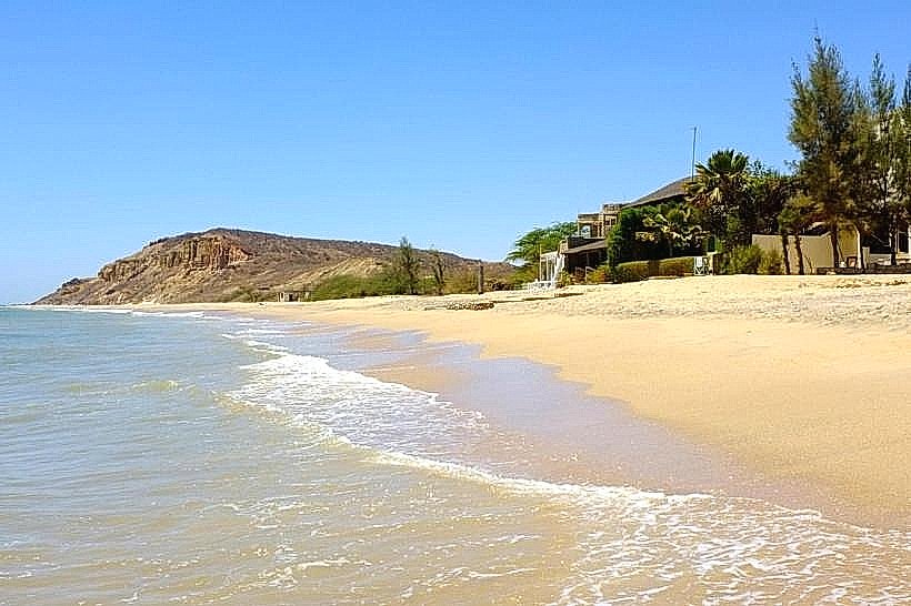
The Toubab Dialaw Cliffs are coastal geological formations situated along the Petite Côte of Senegal, approximately 45km southeast of Dakar. They mark the southwestern edge of the Ndiass Horst, where the elevated plateau meets the Atlantic Ocean in the village of Toubab Dialaw.
Visual Characteristics
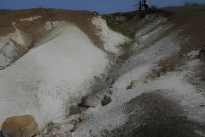
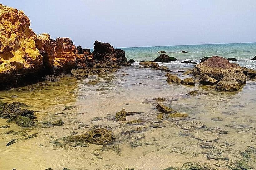
The cliffs are composed of alternating layers of cream-colored Lutetian limestone and reddish-brown ferruginous laterite. They rise to heights of 10 to 15 meters, featuring a jagged, vertical profile heavily sculpted by marine erosion. The rock faces often display sheath folds and volcanic inclusions (diatremes), while the base is characterized by narrow sandy coves interspersed with dark basaltic boulders and tide pools.
Location & Access Logistics
The site is located in the commune of Yenne, reached via the N1 National Road or the A1 Toll Road (AIBD/Sindia exit). From the Blaise Diagne International Airport (AIBD), the cliffs are a 20-minute drive via the Rte de l'Aéroport. Public transport involves taking the Dakar TER train to the Bargny or Rufisque stations, followed by a shared taxi or the 228 bus line to Toubab Dialaw. Access to the cliff edge is via pedestrian paths from the Sobo Badè arts center or the village beach.
Historical & Ecological Origin
Geologically, the cliffs were formed during the Middle Eocene (approximately 45 to 48 million years ago) through a combination of sedimentary deposition and Tertiary volcanic activity. The presence of nummulitic limestone indicates a former shallow marine environment. Historically, the area evolved from a Lebu fishing village into a prominent bohemian and artistic retreat following the establishment of the Sobo Badè complex in the 1970s.
Key Highlights & Activities
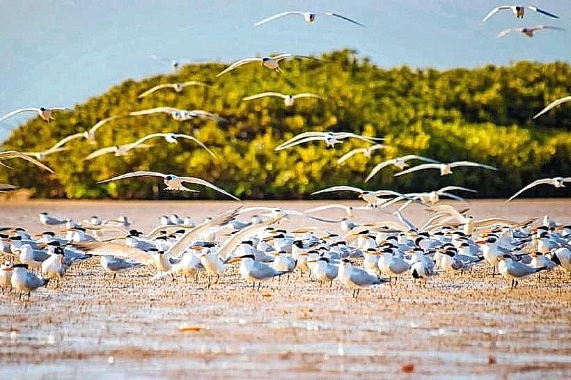
Hiking along the ridge of the cliffs provides vantage points for Atlantic sunset photography. Rock pooling is common at the base during low tide, where marine life is trapped in limestone depressions. The area is a regional center for contemporary African dance and percussion, with the nearby École des Sables attracting international performers for open-air rehearsals and training.
Infrastructure & Amenities
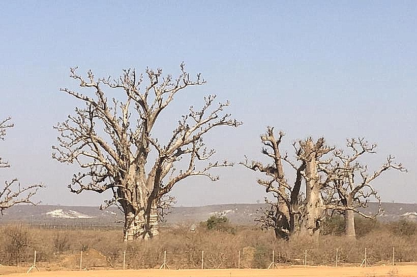
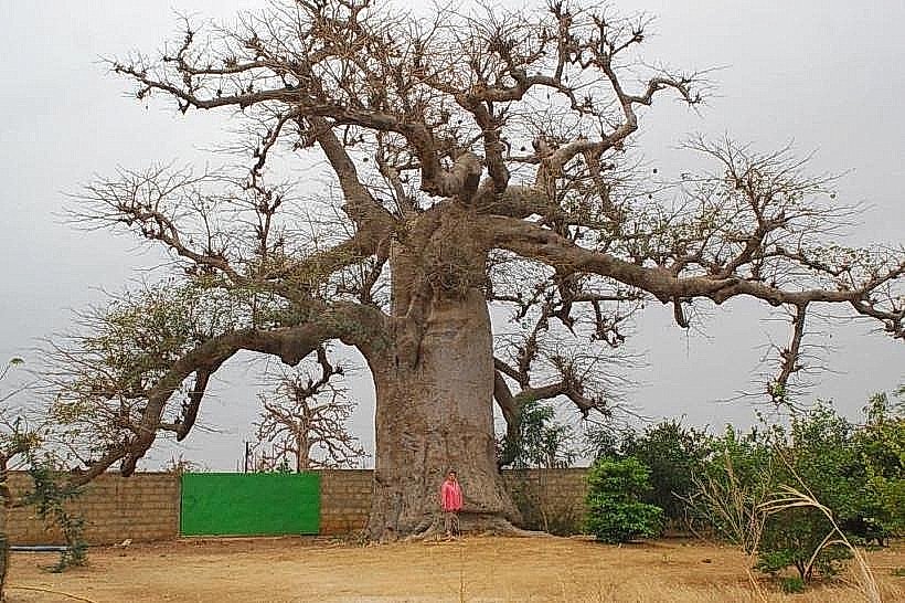
The cliff area is integrated into the village, with several clifftop guest houses and restaurants providing terrace seating. There are no formal public restrooms or paved parking lots on the cliffs themselves; visitors use facilities at local establishments. 4G and 5G cellular signals from Orange and Free are consistently strong. Shade is primarily found in the architectural courtyards of clifftop hotels or beneath occasional baobab trees near the ridge.
Best Time to Visit
The dry season from November to May offers the most stable footing for cliffside walking. Photography is optimal between 17:30 and 19:00, when the setting sun highlights the red laterite layers. Visitors should monitor the tide charts, as the narrow beaches at the base of the cliffs become inaccessible during high tide.
Facts & Legends
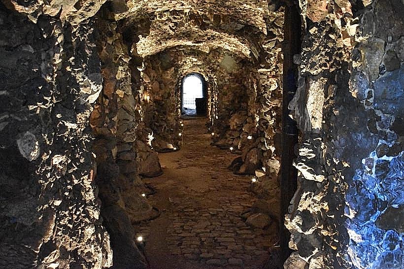
The cliffs are geologically unique in Senegal for containing "sheath folds," which provide evidence of prehistoric submarine landslides along the ancient continental slope. A local point of interest is the Sobo Badè complex, built entirely from local stone and recycled materials to mimic the natural texture and geometry of the surrounding cliffs.
Nearby Landmarks
Sobo Badè Arts Centre – 0.1km West
École des Sables (International Centre for Traditional and Contemporary African Dances) – 2.2km Northeast
Yenne Tode Beach – 3.5km Northwest
Popenguine Nature Reserve – 4.8km Southeast