Landmark: Popenguine Nature Reserve
City: Thies
Country: Senegal
Continent: Africa
Popenguine Nature Reserve, Thies, Senegal, Africa
The Popenguine Nature Reserve (Réserve Naturelle de Popenguine) is a protected coastal sanctuary located on the Petite Côte of western Senegal, approximately 70km south of Dakar. It was the first community-managed nature reserve in the country, established in 1986.
Visual Characteristics
The reserve is defined by its dramatic geological and coastal contrast.
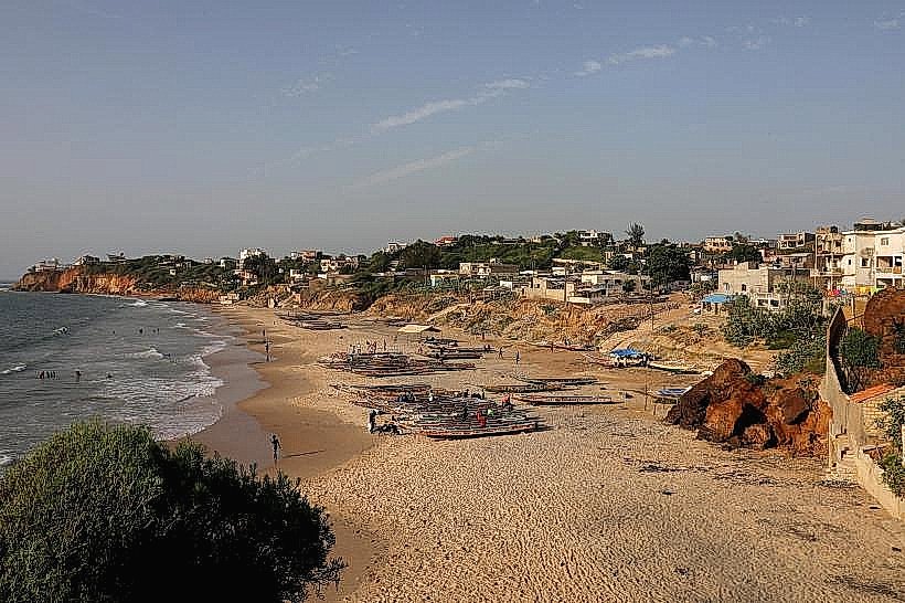
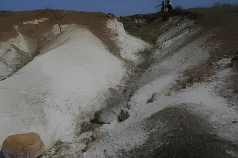
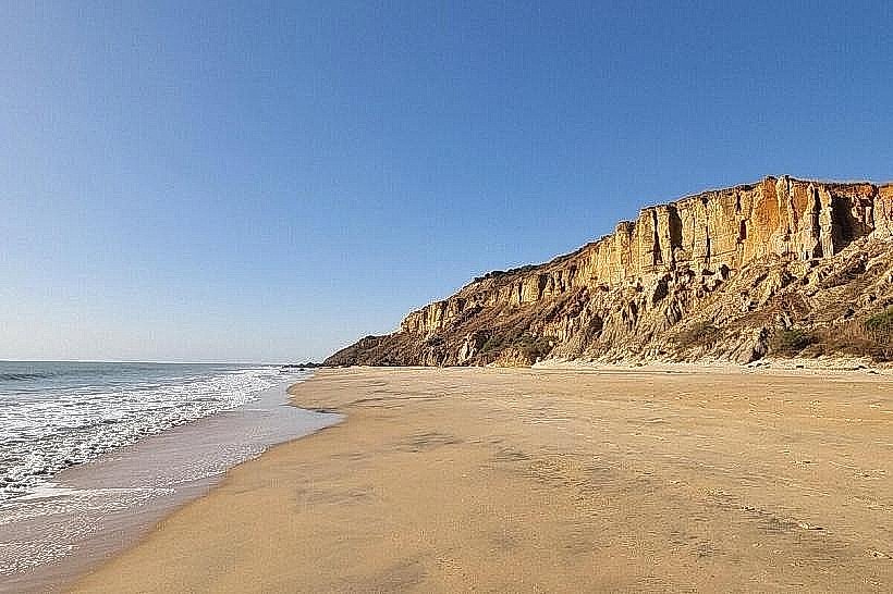
The Cliffs: It features massive volcanic and sedimentary cliffs (Cap de Naze) that drop sharply into the Atlantic Ocean.
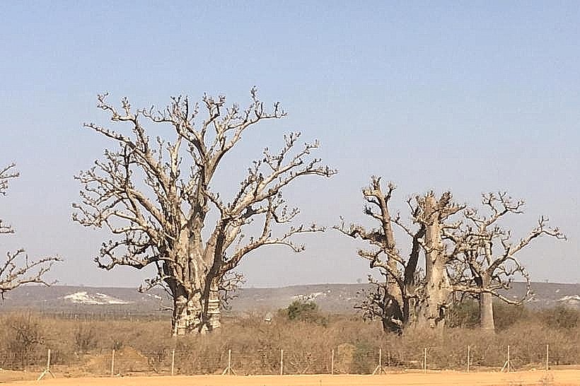
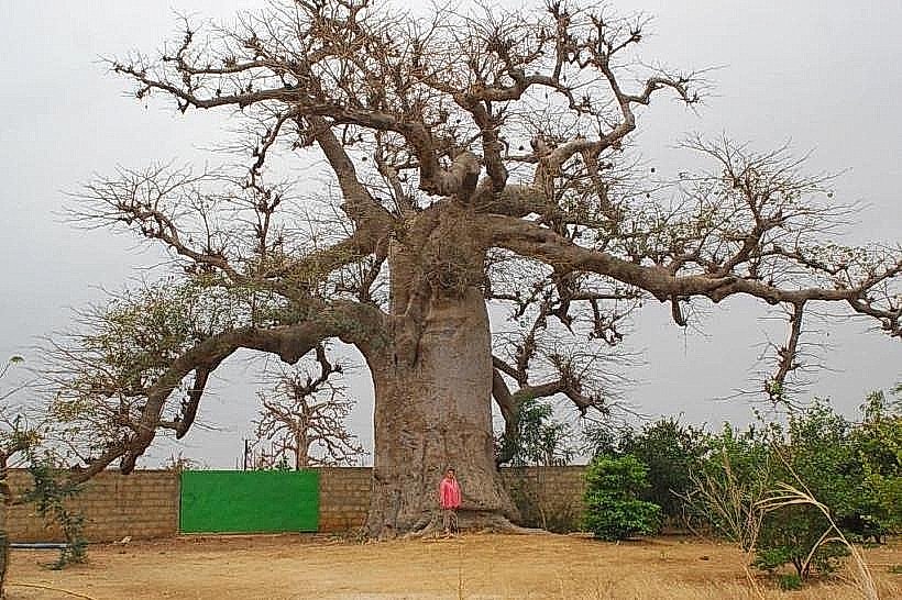
The Savanna: The inland portion consists of a rocky Sahelian savanna with dense thickets of acacia, baobabs, and various halophytic (salt-tolerant) shrubs.
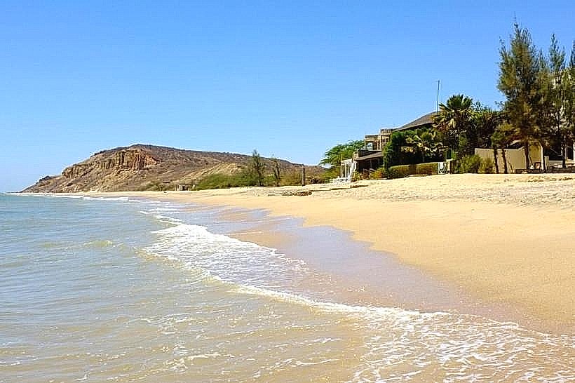
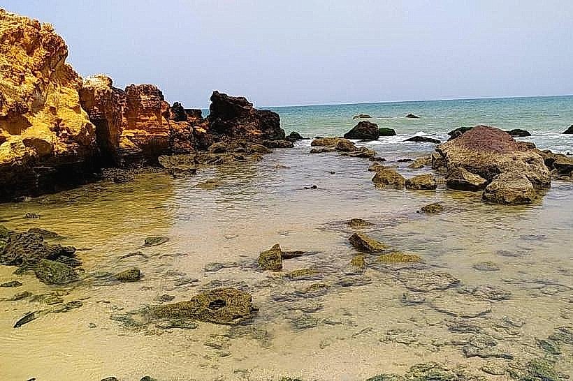
The Beach: A narrow, rocky shoreline sits at the base of the cliffs, offering secluded tidal pools.
Colors: The landscape shifts from the deep ochre and grey of the cliff faces to the bright green of the scrubland during the rainy season.
Location & Access Logistics
The reserve is situated adjacent to the village of Popenguine, a significant religious and tourist site.
Access: Reached via the A1 toll highway (Exit: Sindia/Popenguine) or the N1 national road. The village is a 15-minute drive from the highway exit.
Transit: Visitors typically arrive by private car or taxi. The interior of the reserve is explored strictly on foot along designated hiking trails.
Entry: A small conservation fee is paid at the eco-guard station at the reserve entrance. Licensed community guides are available and recommended for navigating the cliff paths.
Historical & Ecological Origin
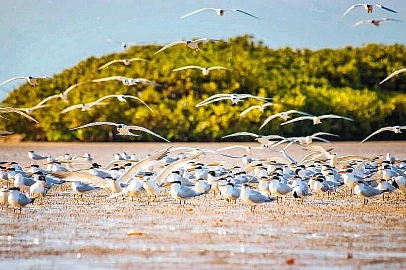
The reserve was created following a severe period of drought and deforestation in the 1970s. It is unique because it is managed by the RFPP (Rassemblement des Femmes de Popenguine pour la Protection de la Nature), a local women's collective that led the reforestation efforts. Geologically, it marks the point where the basaltic formations of the Cape Verde peninsula meet the sedimentary basin of the coast. It serves as a vital nesting ground for various maritime and migratory bird species.
Key Highlights & Activities
Birdwatching: The reserve is a haven for over 150 species, including the Blue Rock Thrush, Ospreys, and the rare Peregrine Falcon which nests on the cliffs.
Hiking to Cap de Naze: A 2-hour trek leads to the highest point of the cliffs, offering panoramic views of the Atlantic and the coastline toward Somone.
Botanical Trails: Guided walks highlight the medicinal uses of local plants like the Combretum and the ecological role of the Baobab.
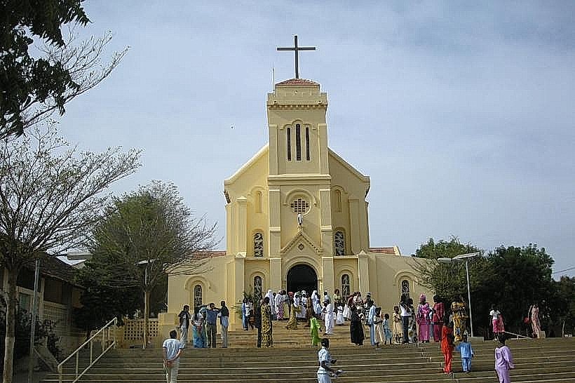
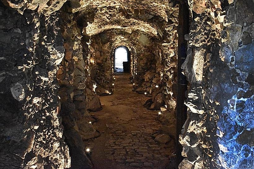
The Grotto: Many visitors combine a trip to the reserve with a visit to the nearby "Black Madonna" grotto, a major Catholic pilgrimage site.
Infrastructure & Amenities
Eco-Center: A small visitor center at the entrance provides information on local flora and fauna.
Connectivity: 4G cellular signals are generally strong, though they may weaken at the base of the cliffs.
Shade: Extremely limited on the cliff paths; hikers must carry water and wear head protection.
Accommodation: Several eco-lodges and guesthouses are located in the village of Popenguine, within walking distance of the reserve gates.
Best Time to Visit
The optimal time for hiking and birdwatching is the dry season (November to May). During this period, the migratory birds from Europe are present. Morning visits (07:30–10:00) are essential to avoid the heat on the exposed cliff trails. Sunset visits to the Cap de Naze provide exceptional lighting for photography of the Atlantic horizon.
Facts & Legends
A local fact is that the recovery of the reserve's ecosystem is considered an international model for community-led conservation, having transformed a barren landscape back into a functional forest in less than three decades. A specific tip: look for the "Elephant Rock" formation along the cliffside, a natural sea-arch shaped by millennia of Atlantic wave erosion.
Nearby Landmarks
Popenguine Basilica & Grotto – 1.0km North
Somone Lagoon (Reserve) – 12.0km South
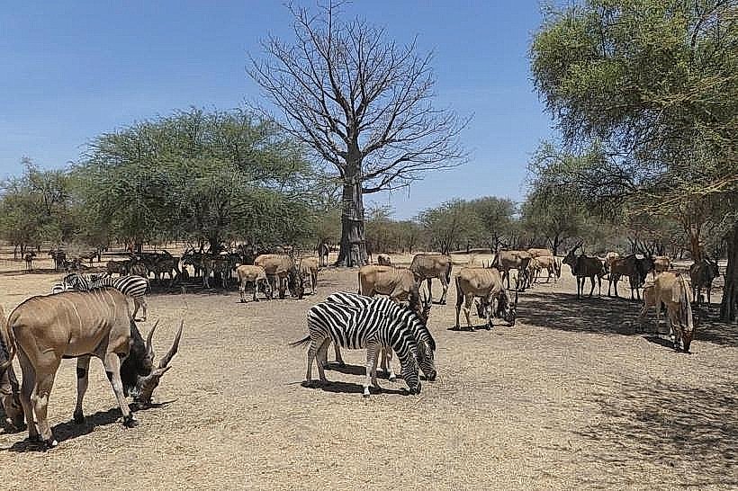
Bandia Wildlife Reserve – 18.0km East
Blaise Diagne International Airport (DSS) – 25.0km Northeast
Sindia Village – 15.0km East