Landmark: Thies Plateau
City: Thies
Country: Senegal
Continent: Africa
Thies Plateau, Thies, Senegal, Africa
The Thiès Plateau (also known as the Thiès Horst) is a prominent geological upland and topographical feature in western Senegal. It rises above the surrounding coastal plains and the Peanut Basin, serving as a strategic elevated zone between the Cap-Vert peninsula and the Senegalese interior.
Visual Characteristics
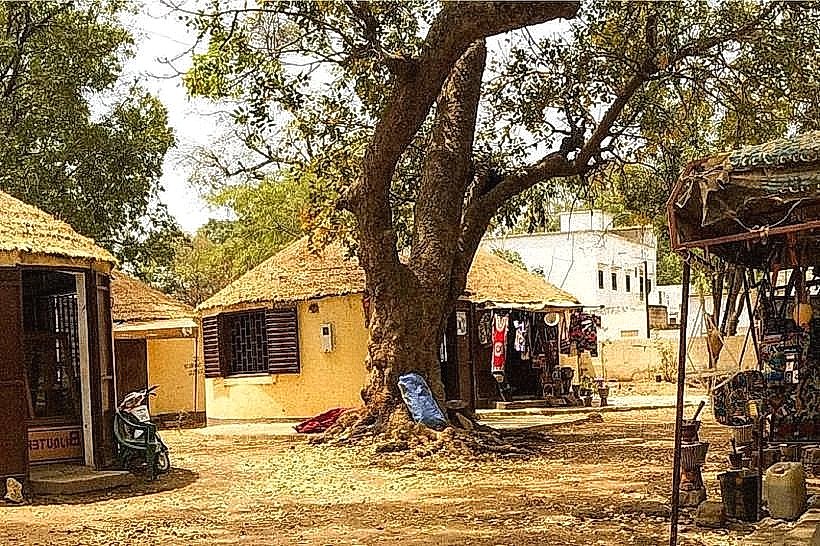
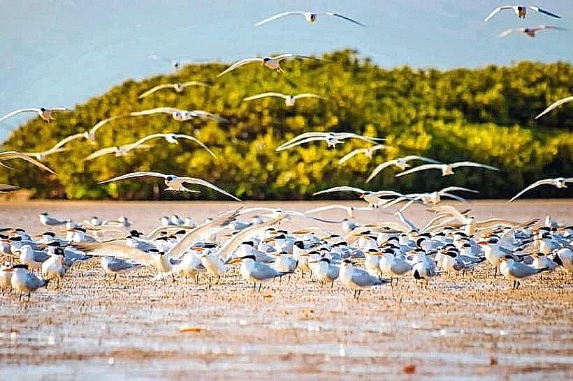
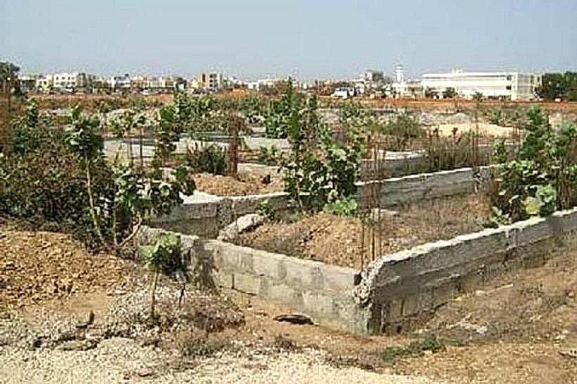
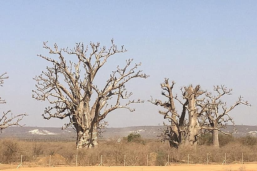
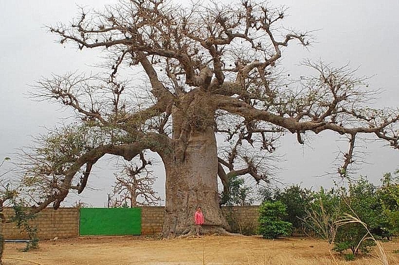
The plateau is defined by its steep escarpments and flat-topped ridges, reaching elevations of approximately 130 meters above sea level. The terrain consists of rugged lateritic crusts, deep erosion gullies, and red-orange ferruginous soils. Vegetation varies from dense woody savannah and forest reserves on the slopes to agricultural fruit groves and baobab clusters on the level summits.
Location & Access Logistics
The plateau surrounds and extends north and south of the city of Thiès, located roughly 70km east of Dakar. It is traversed by the N2 highway and the A1 toll road, which provide the primary vehicular access. Numerous unpaved laterite tracks lead from the urban center of Thiès up to the higher elevations, such as the areas near the Forêt Classée de Thiès. Public transport via "sept-place" taxis frequently crosses the plateau on routes toward Saint-Louis or Touba.
Historical & Ecological Origin
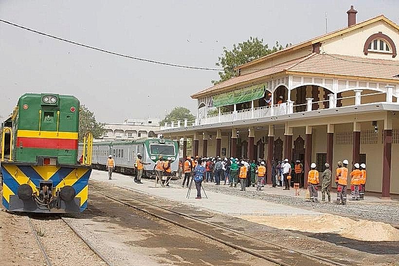
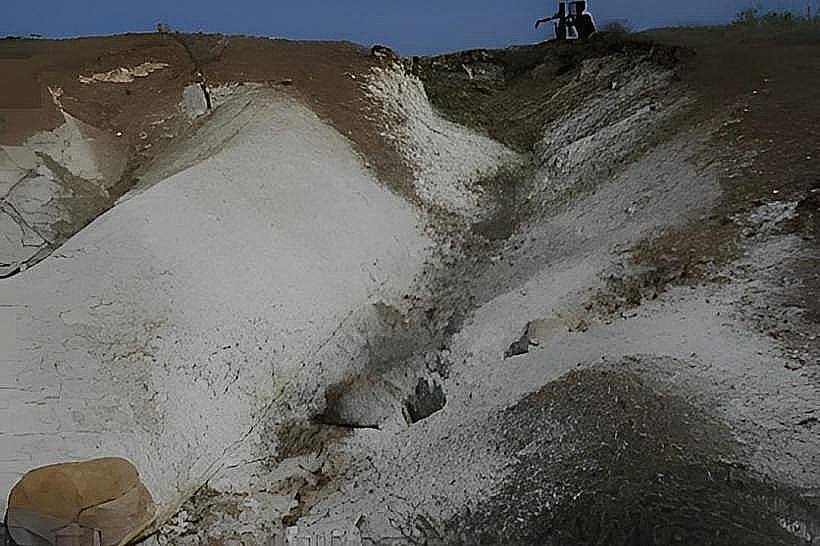
Geologically, the plateau is a horst formed by tectonic uplift during the Tertiary period. It is composed of sedimentary layers, including Maastrichtian limestones and Eocene phosphate-rich rock. Historically, its elevation provided a cooler microclimate and defensive advantage, leading to its development as a major colonial administrative and military rail hub for the French West Africa network.
Key Highlights & Activities
Industrial sightseeing is possible near the massive open-pit phosphate mines located on the plateau's edges. The high ridges offer several panoramic viewpoints used by hikers and mountain bikers to overlook the city of Thiès and the western plains. The plateau also serves as a center for intensive horticulture, specifically for the cultivation of mangoes and citrus.
Infrastructure & Amenities
The plateau hosts significant industrial infrastructure, including phosphate processing plants and the Dangote cement factory. Urbanized sections feature a full range of 4G/5G cellular coverage and electricity. However, the rural and forested sections lack public restrooms and paved parking. Water sources are primarily deep boreholes tapping into the Maastrichtian aquifer located beneath the plateau layers.
Best Time to Visit
The dry season from December to May offers the best visibility and accessibility for the unpaved tracks. For agricultural interest, the mango harvest from May to July is the peak period. Photography is best in the early morning (07:00–09:00) when the low sun angle highlights the dramatic relief of the western escarpment.
Facts & Legends
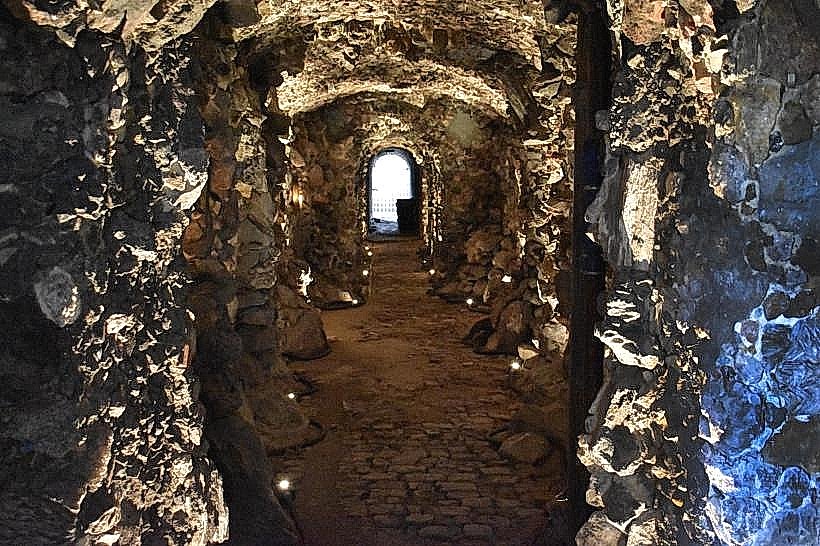
The plateau is the site of some of the world's highest-quality lime-phosphate deposits, which are vital to global fertilizer production. Local lore often associates the deep, wooded ravines of the plateau with the Jinns (spirits), and certain caves within the limestone formations are historically cited as places of refuge during regional conflicts in the 19th century.
Nearby Landmarks
Forêt Classée de Thiès – 0.0km (Located on the plateau)
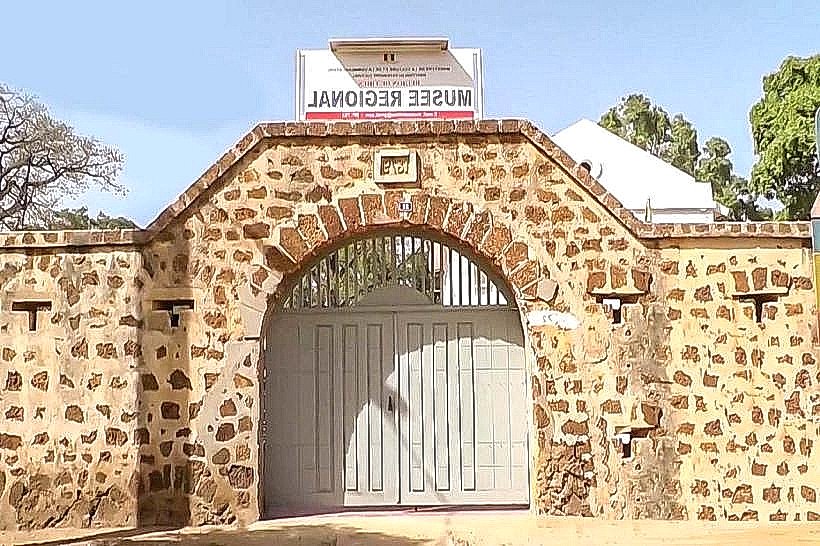
Thiès Regional Museum – 2.5km East (at the base)
Pout Fruit Market – 10.0km West
Somone Lagoon – 35.0km Southwest