Landmark: Somone Lagoon Reserve
City: Thies
Country: Senegal
Continent: Africa
Somone Lagoon Reserve, Thies, Senegal, Africa
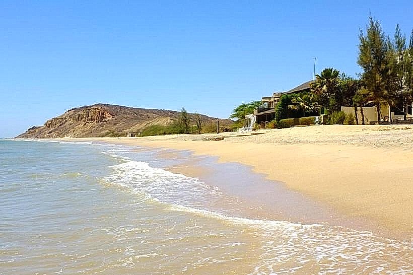
The Somone Lagoon Reserve (Réserve de la Somone) is a protected coastal wetland located on the Petite Côte of Senegal, approximately 80km south of Dakar. It covers 700 hectares and serves as a vital transition zone between the Atlantic Ocean and the inland savanna, consisting of mangroves, salt flats, and sandy beaches.
Visual Characteristics
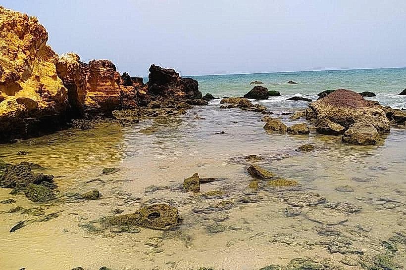
The landscape is defined by the labyrinthine channels of the Somone River as it enters the sea.
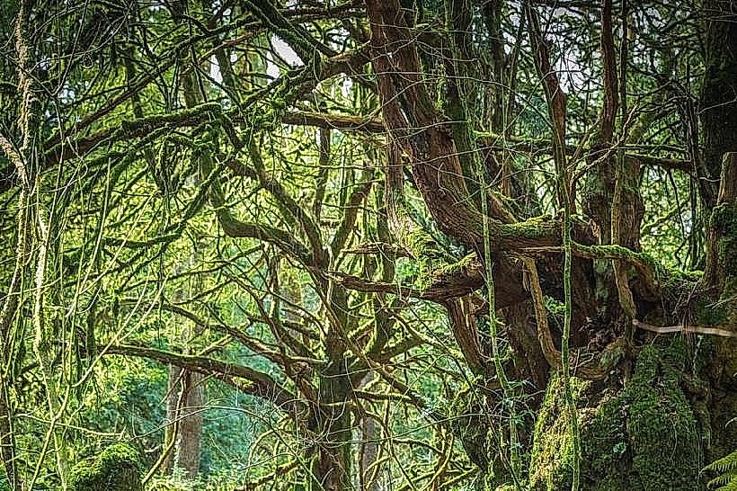
Mangroves: Dense forests of Avicennia and Rhizophora line the waterways, their aerial roots exposed during low tide.
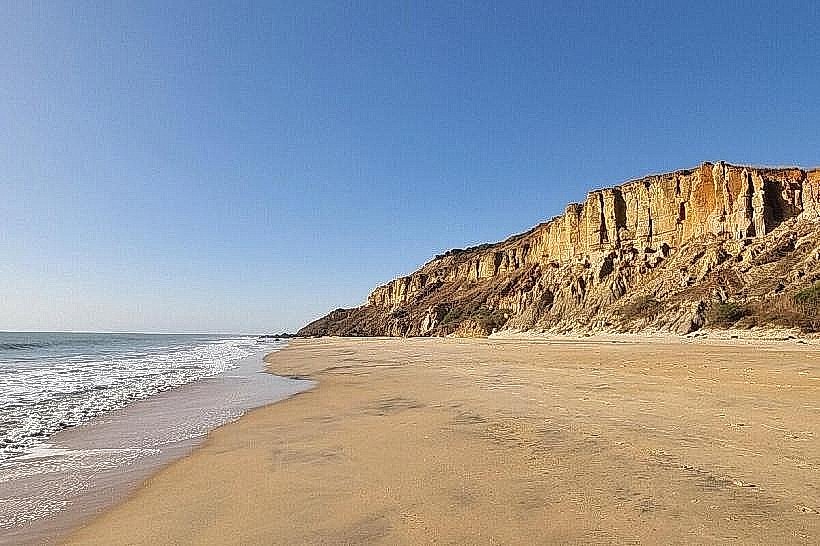
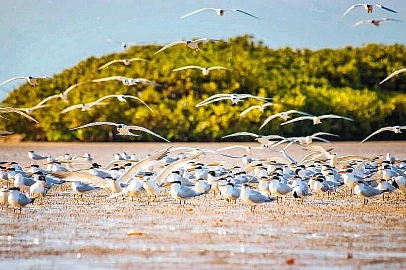
Sandbars: White sandbanks shift with the tides, creating temporary islands that serve as resting spots for maritime birds.
Colors: The water transitions from a turquoise blue at the ocean mouth to a murky, silty green within the mangrove tunnels.
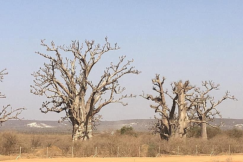
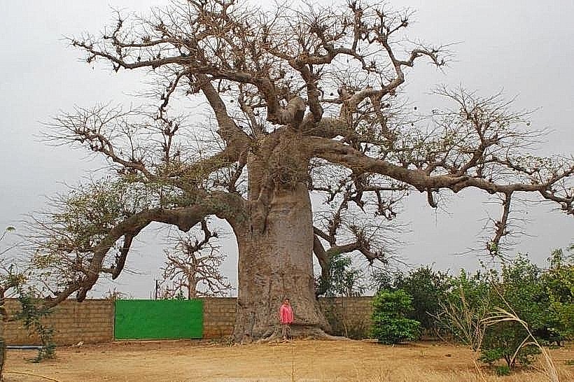
Flora: The inland edges are characterized by baobabs and acacia trees that frame the lagoon's northern boundary.
Location & Access Logistics
The reserve is located adjacent to the villages of Somone and Guéréo.
Access: Reached via the A1 toll highway (Exit: Sindia) or the coastal road from Saly Portudal (approx. 10km north).
Transit: Visitors typically arrive at the Somone river mouth, where traditional wooden pirogues are available for tours.
Entry: Access to the water requires hiring a licensed boatman from the local GIE (Economic Interest Group) which manages the reserve's sustainable tourism.
Historical & Ecological Origin
Established as a community nature reserve in 1999, the site was protected to combat the destruction of mangroves and the overfishing that threatened the local ecosystem. Geologically, it is a classic estuarine lagoon formed by a sand spit that partially blocks the river's exit. It is a critical habitat for migratory birds arriving from Europe and a nursery for various species of fish and crustaceans.
Key Highlights & Activities
The central area for most visitor activities is the main lagoon basin.
Pirogue Tours: Guided boat trips navigate the mangrove channels to observe nesting birds.
Birdwatching: The reserve is home to over 150 species, including pelicans, flamingos, herons, and various kingfishers.
Oyster Tasting: Local women's collectives harvest oysters from the mangrove roots, which are often grilled and served at small beachside stalls.
Swimming: The calm waters near the river mouth are a popular spot for wading, protected from the stronger Atlantic currents.
Infrastructure & Amenities
The area is well-developed for day-trip tourism.
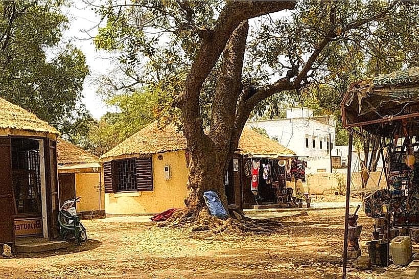
Dining: Numerous "cabanes" (thatched-roof restaurants) are situated directly on the water's edge, offering fresh seafood.
Connectivity: 4G and 5G cellular signals are robust throughout the Somone area.
Shade: Provided by the restaurant structures and the thick mangrove canopy in certain navigable sections.
Facilities: Basic restrooms and changing areas are available at the larger beach clubs and lodges at the reserve's entrance.
Best Time to Visit
The optimal period for wildlife viewing is the dry season (November to May), when migratory birds are present in high numbers. Morning visits (08:00–10:30) are best for bird activity and to avoid the peak heat. The late afternoon (16:30–18:30) is ideal for photography, as the sun sets directly over the Atlantic mouth of the lagoon.
Facts & Legends
A local ecological fact is that the mangroves here act as a natural carbon sink and a barrier against coastal erosion, which is a major threat to nearby Saly. A local tip for visitors: time your visit with the rising tide; as the water flows into the lagoon, it brings in more active fish and clearer water, making the boat tour significantly more scenic.
Nearby Landmarks
Bandia Wildlife Reserve – 12.0km East
Popenguine Nature Reserve – 12.0km North
Saly Portudal Resort Area – 8.0km South
Blaise Diagne International Airport (DSS) – 25.0km Northeast
Accrobaobab Adventure Park – 13.0km East