Landmark: Ndiass Forest
City: Thies
Country: Senegal
Continent: Africa
Ndiass Forest, Thies, Senegal, Africa
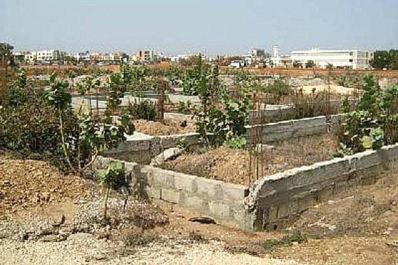
The Forêt de Ndiass is a protected botanical reserve and ecological corridor located in the Mbour Department, within the Thiès Region of western Senegal. It serves as a vital environmental buffer zone situated between the rural communities of Ndiass and the industrial developments surrounding the Blaise Diagne International Airport.
Visual Characteristics
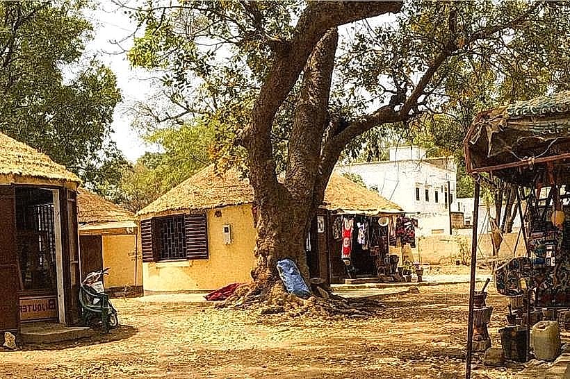
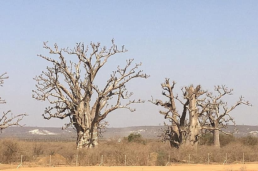
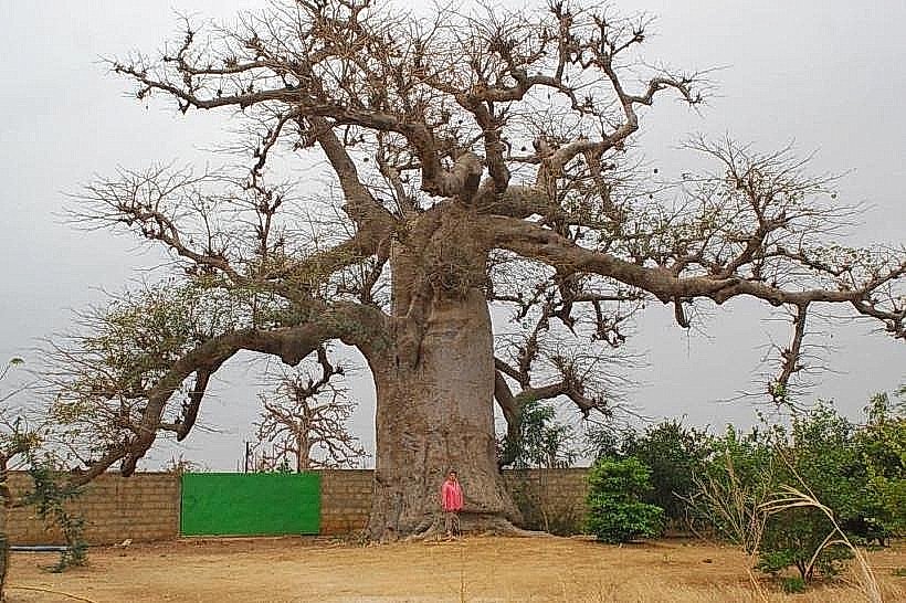
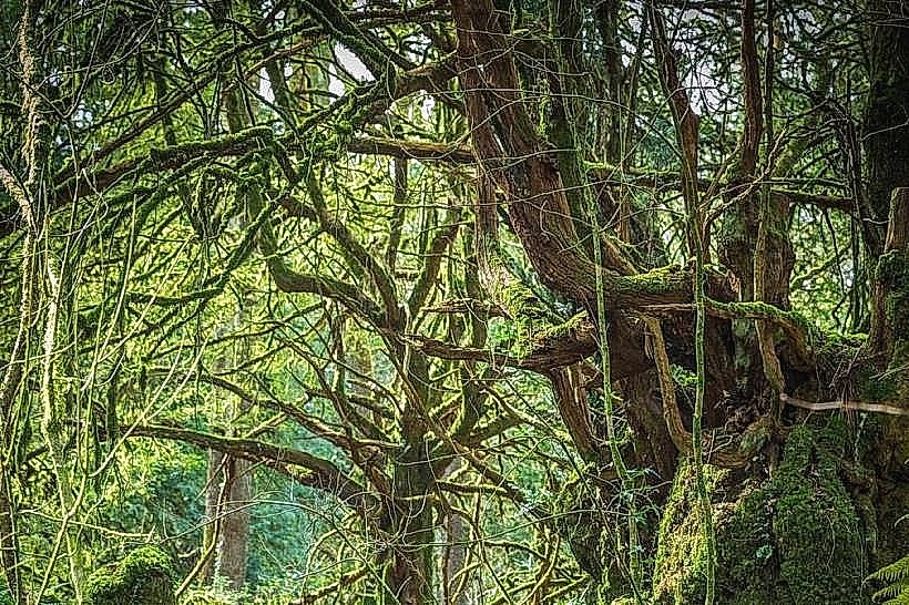
The landscape is characterized by open woody savannah and sparse dry forest. The terrain is relatively flat with occasional sandy undulations and lateritic outcroppings. Vegetation is dominated by the African Baobab (Adansonia digitata), various Acacia species, and Balanites trees. During the dry season, the landscape appears arid with grey-brown bark and golden grasses, transforming into a dense green canopy following the onset of the wintering rains in July.
Location & Access Logistics
The forest is situated approximately 25km west of Thiès and 45km east of Dakar, immediately adjacent to the town of Ndiass. Access is primarily via the A1 toll road (exit for AIBD airport) or the N1 national road. Internal access is limited to sandy footpaths and narrow dirt tracks suitable only for 4WD vehicles or motorcycles. Public transport options include regional buses (Ndiaga Ndiaye) or shared taxis that stop at the Ndiass village center on the N1.
Historical & Ecological Origin
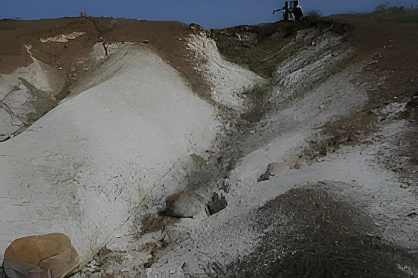
The forest was formally classified during the colonial period to protect the local water table and prevent soil erosion on the western edge of the Thiès Plateau. It sits on a geological transition zone featuring sedimentary sands and deeper limestone layers. Historically, the area was part of the traditional Serer lands, used for communal grazing and the collection of wild fruits before its status as a protected forest was solidified.
Key Highlights & Activities
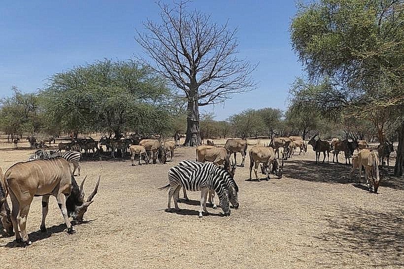
Low-impact ecotourism and nature photography are the primary activities. The forest is a noted site for observing indigenous birdlife and small mammals like patas monkeys. Local harvesters are permitted to gather "bouye" (baobab fruit) and "ditakh" during specific seasons. The perimeter tracks are also utilized by local residents for transit between the villages of Ndiass and Popenguine.
Infrastructure & Amenities
Infrastructure within the forest is nonexistent. There are no marked trails, visitor centers, or public sanitation facilities. Strong 4G and 5G cellular signals are available throughout the area due to the proximity of the international airport. There is no permanent shade provided by man-made structures, and no food or water vendors operate inside the protected zone; all supplies must be procured in the town of Ndiass.
Best Time to Visit
The optimal time for exploration is during the cooler months of December to February, when temperatures are manageable and tracks are dry and passable. For birdwatching, the early morning hours (06:30–08:30) are most productive. The rainy season (August–September) offers the most vibrant greenery but makes the sandy tracks difficult to navigate for non-4WD vehicles.
Facts & Legends
The forest is home to several "sacred baobabs," some estimated to be over 500 years old, which are traditionally respected by the local population. A modern point of interest is the forest's role as a biological refuge for species displaced by the rapid urban and industrial expansion of the nearby airport zone, making it a critical site for regional biodiversity conservation efforts.
Nearby Landmarks
Blaise Diagne International Airport (AIBD) – 3.5km East
Popenguine Nature Reserve – 12.0km Southwest
Bandia Reserve – 8.0km South
Ndiass Fruit Market – 2.0km North