Landmark: Mantenga Cultural Village
City: Lobamba
Country: Eswatini
Continent: Africa
Mantenga Cultural Village, Lobamba, Eswatini, Africa
Mantenga Cultural Village is an open-air living museum and heritage enclave situated within the lower valley of the Mantenga Nature Reserve in Ezulwini. The site functions as a structurally authentic replica of a mid-19th-century Swazi polygamous homestead, dedicated to the active preservation and performative display of traditional Swati architectural, domestic, and folkloric customs.
Visual Characteristics
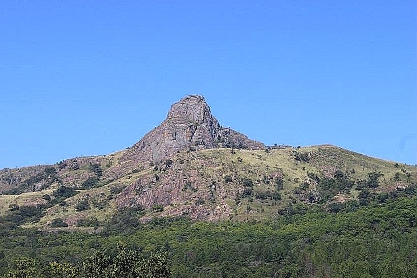
The village is configuration comprises exactly 50 traditional beehive huts (gindlu) arranged in a structural semi-circle around a central earthen cattle kraal (sibaya). The huts are engineered entirely from woven wooden saplings, structural highveld grasses, and braided grass ropes, lacking external windows or modern metal fixtures. The entire perimeter is enclosed by a tall, porous windbreak fence constructed of tightly bound river reeds, set against a backdrop of dense riverine forest canopy and the sheer granite rock face of the nearby mountains.
Location & Access Logistics
The landmark is located within the gated boundaries of the Mantenga Nature Reserve, roughly 16 kilometers south of Mbabane. Access is achieved by turning west off the paved MR103 road onto Mantenga Drive, then proceeding past the reserve checkpoint along a 1.5-kilometer graded gravel access track. Public transport minibuses drop passengers at the main MR103 highway junction, which requires a 2-kilometer walk up the valley road to reach the village site. Secure gravel parking fields capable of accommodating private cars and large commercial tour buses are located directly outside the village entrance.
Historical & Ecological Origin
Constructed in the late 20th century as a joint initiative by the Eswatini National Trust Commission, the village was built using traditional ethnographic templates to create a permanent educational resource following the post-independence modernization of the country. The settlement sits within a midveld riverine ecosystem on the banks of the Lusushwana River. The building materials are harvested entirely from local ecological reserves, utilizing indigenous lutindzi mountain grass for structural thatching and flexible river reeds for screen components.
Key Highlights & Activities
The primary activities center on the scheduled cultural performances, featuring traditional Sibhaca drumming, polyphonic chanting, and athletic dancing staged twice daily at 11:15 and 15:15 inside the central arena. Guided educational tours run continuously throughout the day, led by resident cultural guides who demonstrate historical grain grinding techniques, traditional weapon forging, and shield making. Visitors can walk inside the low-entry beehive huts to examine authentic internal partitions, traditional sleeping mats, and historical earthenware cooking vessels.
Infrastructure & Amenities
The immediate entrance zone features specialized tourist amenities, including centralized public restroom blocks, an open-air craft market shelter, and clear directional signage. High-speed cellular network coverage (4G/5G) is operational across the open sections of the village, though signals drop inside the dense thatch huts. While the traditional village clearing itself has no electrical outlets or vendors, modern dining options, treated drinking water, and administrative facilities are accessible at the reserve restaurant located 100 meters down the trail.
Best Time to Visit
The optimal months for a visit are during the dry winter period from May to August, when mild daytime temperatures eliminate the high humidity common to the valley floor. Arriving at 10:30 allows visitors to complete the structural tour before the mid-morning dance performance begins. Photography is highly effective during the late afternoon performance slot at 15:15, when low-angle light cuts through the perimeter reed fencing and accentuates the complex textures of the thatched huts.
Facts & Legends
The layout of the homestead is governed by strict customary laws, where the precise size and placement of a hut denotes the social hierarchy, with the Queen Mother's hut (indlunkulu) occupying the structurally dominant position at the apex of the circle. Local guides note that the low, semi-circular shape of the entrance doors was an intentional military engineering design, forcing potential attackers to bend down completely to enter, allowing the occupants inside to defend the structure immediately from a position of advantage.
Nearby Landmarks
Mantenga Nature Reserve (Falls Viewpoint) - 0.5km West
Mantenga Lifestyle & Craft Centre - 1.5km East
The Gables Shopping Centre - 2.9km East-Southeast
Ludzidzini Royal Residence - 3.8km Southeast
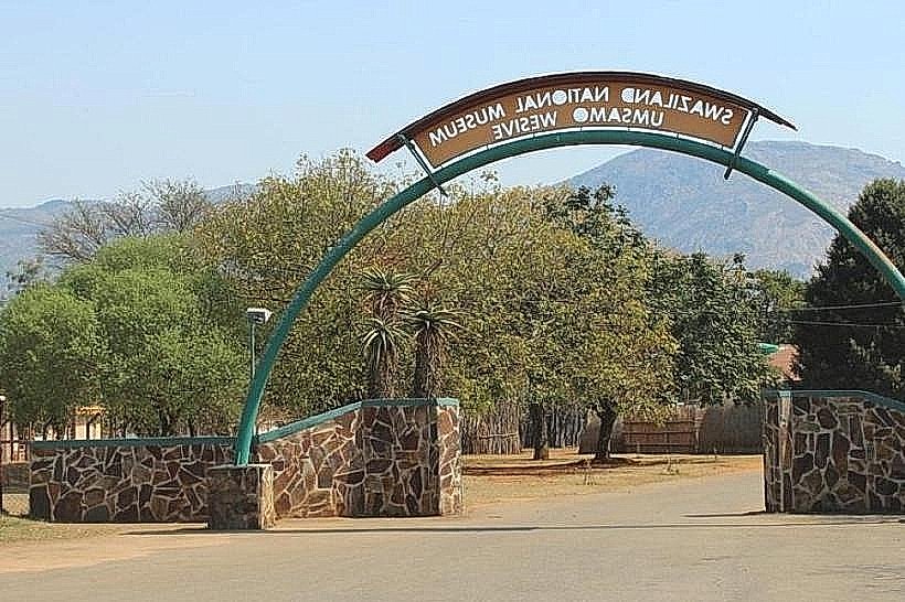
Eswatini National Museum - 4.6km Southeast