Landmark: Raysut Port Viewpoint
City: Salalah
Country: Oman
Continent: Asia
Raysut Port Viewpoint, Salalah, Oman, Asia
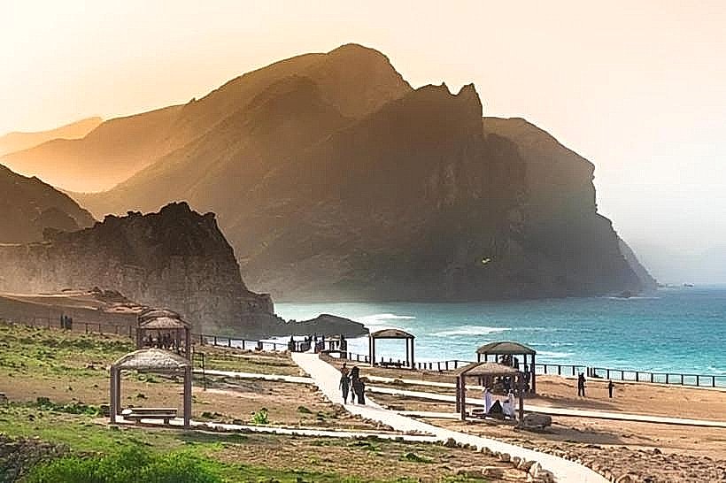
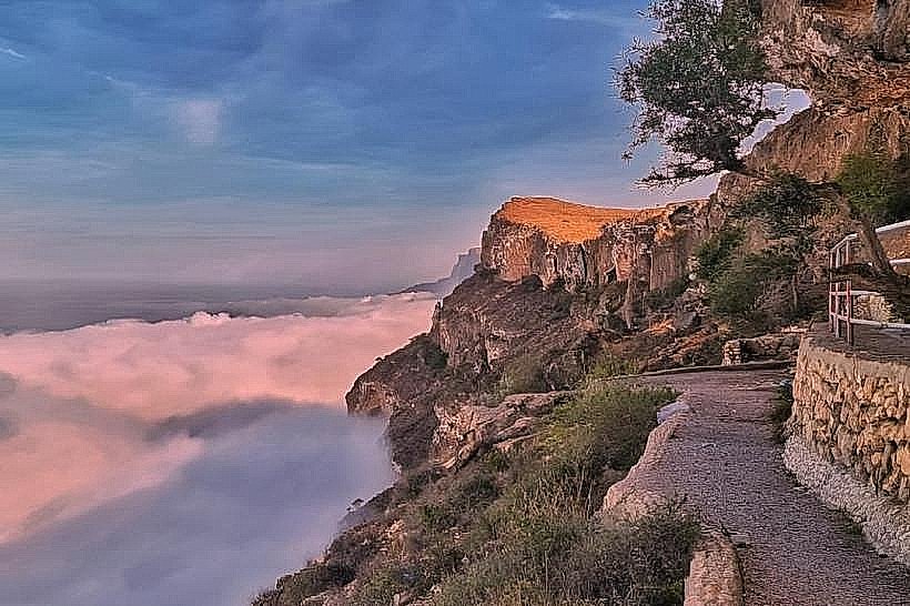
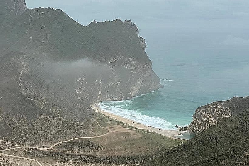
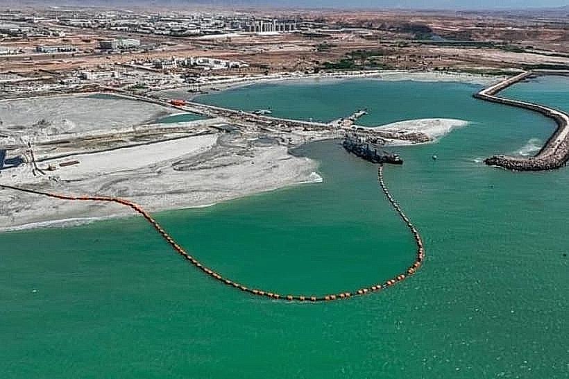
The Raysut Port Viewpoint is an elevated coastal observation point located on a limestone headland overlooking the primary industrial harbor of Dhofar. It is situated approximately 15 kilometers southwest of the Salalah city center, marking the transition between the urban plain and the western mountain ranges.
Visual Characteristics
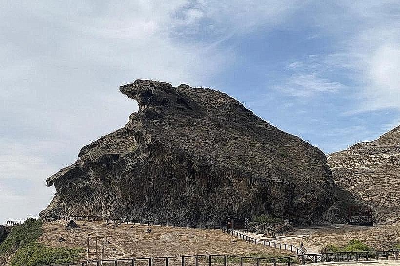
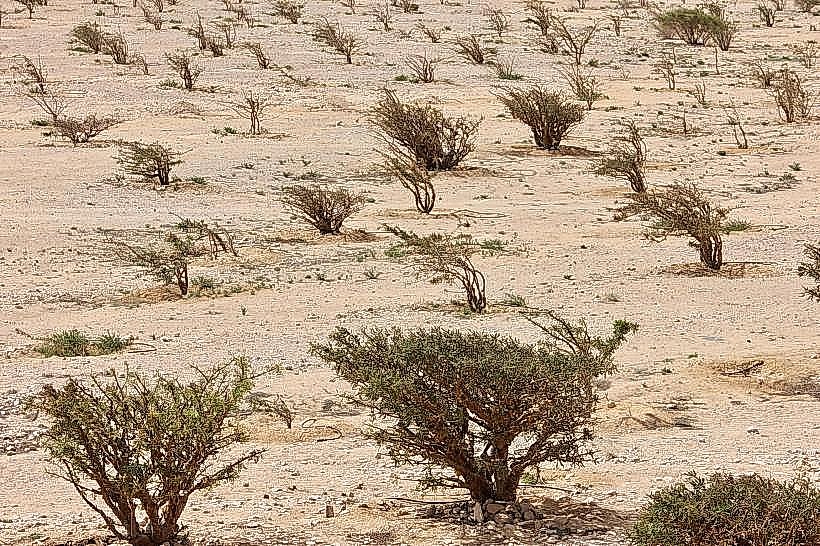
The viewpoint is positioned on a rugged, pale-grey limestone cliff characterized by sheer drops and sharp rock formations. From this elevation, the visual landscape is dominated by the industrial infrastructure of the port, including large blue and white gantry cranes, concrete breakwaters, and rows of stacked shipping containers. To the west, the coastline consists of undeveloped rocky coves and steep, arid hillsides with sparse desert scrub.
Location & Access Logistics
The site is accessed via the Sultan Qaboos Street (Route 47) heading west toward Mughsail. A paved turnoff near the Raysut industrial area leads to an ascending road toward the cliff edge. There is a small, unpaved gravel clearing at the summit for vehicle parking. No public transport lines serve the viewpoint directly, though it is a standard stop for private taxis and 4WD tour operators moving toward the western beaches.
Historical & Ecological Origin
The viewpoint overlooks the Port of Salalah, which was significantly expanded in the late 1990s to become a major transshipment hub in the Indian Ocean. Geologically, the headland is part of a Tertiary limestone plateau. The surrounding marine area is ecologically notable for the seasonal upwelling caused by the Khareef monsoon, which attracts large pods of Indo-Pacific humpback dolphins frequently visible from the cliff height.
Key Highlights & Activities
The primary activity is the observation of maritime traffic, including the arrival and departure of ultra-large container vessels and traditional dhows. It is a specific site for industrial and landscape photography, particularly at night when the port is fully illuminated. Binoculars are recommended for viewing the dolphins and seabirds that congregate near the breakwaters.
Infrastructure & Amenities
The site is largely undeveloped and lacks formal infrastructure. There are no restrooms, shaded pavilions, or food vendors at the immediate viewpoint. Visitors must travel back toward the Raysut Industrial City, roughly 3 kilometers away, for fuel, groceries, and basic services. Cell phone signal (4G/5G) is strong and consistent due to the proximity of the port's communications infrastructure.
Best Time to Visit
The best time for photography is during the early morning or late afternoon to avoid the midday haze and capture the textures of the limestone cliffs. For viewing dolphin activity, the early morning hours (7:00 AM to 9:00 AM) are most productive. During the Khareef (June to September), the viewpoint is often enveloped in thick fog, which obscures the port but provides a unique atmospheric perspective of the crashing waves below.
Facts & Legends
A verified historical oddity is that the waters directly below the viewpoint were part of the ancient maritime silk route, with archaeological evidence suggesting that Roman and Chinese vessels once anchored in this natural bay to trade for frankincense. Local lore mentions a "hidden" sea cave at the base of the cliff that was allegedly used as a lookout point for ancient coastal guards. A tip for visitors is to check the port’s vessel schedule online to time the visit with the arrival of the world's largest container ships.
Nearby Landmarks
Port of Salalah (1.5km East)
Raysut Industrial City (3.0km North)
Mughsail Beach (25km West)
Marneef Cave (26km West)