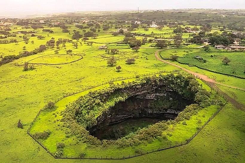
Landmark: Tawi Attair Sinkhole
City: Salalah
Country: Oman
Continent: Asia
Tawi Attair Sinkhole, Salalah, Oman, Asia
Tawi Attair Sinkhole, also known as the "Well of Birds," is a massive natural solution collapse feature located in the Dhofar mountains. The site is situated approximately 45 kilometers northeast of Salalah, near the town of Tawi Attair.
Visual Characteristics
The sinkhole is a circular vertical chasm measuring approximately 100 meters in diameter and reaching a depth of 211 meters. The interior walls consist of sheer, layered limestone cliffs weathered into jagged edges and deep crevices. Dense vegetation and shrubs cling to the upper rim, while the bottom of the pit contains a dark, inaccessible forest of trees sustained by moisture and guano. The site is characterized by the constant sound of thousands of nesting birds, primarily starlings and swifts, which circle the interior of the pit.
Location & Access Logistics
Access is via the Salalah-Mirbat Road (Route 49), followed by an inland ascent toward the Tawi Attair plateau. The site is approximately a 50-minute drive from Salalah. A paved secondary road leads directly to the sinkhole entrance, where a designated gravel parking area is located. There is no public bus service to the site; visitors must utilize private 4WD vehicles, taxis, or organized tour groups. A fenced viewing platform is positioned on the southwestern rim of the pit.
Historical & Ecological Origin
Geologically, Tawi Attair is a solution sinkhole formed by the dissolution of Eocene limestone by underground water over millions of years. It is part of one of the largest underground cave and karst systems in the world. Historically, the sinkhole served as a vital landmark for local nomadic tribes and was first brought to international scientific attention during expeditions in the late 20th century. The site is ecologically unique for its specialized microclimate that supports a diverse population of endemic birds and insects.
Key Highlights & Activities
The primary activity is observing the depth of the chasm and the flight patterns of the birds from the reinforced observation deck. Experienced cavers and researchers occasionally conduct authorized vertical descents, though this is strictly regulated and requires specialized equipment. A short, unpaved walking trail circles a portion of the rim, offering different viewing angles. Photography is best focused on the scale of the pit and the texture of the limestone layers.
Infrastructure & Amenities
The site features a small paved walkway and a fenced observation platform. There are no public restrooms, shaded pavilions, or food vendors directly at the sinkhole. Basic amenities, including small shops and fuel, are available in the town of Tawi Attair, located approximately 3 kilometers away. Cell phone signal (4G) is functional at the rim but disappears completely once descending into the pit.
Best Time to Visit
The optimal time for a visit is between October and April for clear skies and moderate temperatures. For photography, the midday sun (11:00 AM to 1:00 PM) is required to illuminate the bottom of the sinkhole, as the depth remains in shadow for most of the day. During the Khareef (June to September), the sinkhole is often filled with mist and clouds, which obscures the view but creates a distinct atmospheric effect.
Facts & Legends
A verified geological fact is that the total volume of the Tawi Attair Sinkhole is approximately 975,000 cubic meters, making it one of the largest of its kind in the world. Local legend suggests that the sinkhole has no bottom and leads directly to an underground sea that spans the entire Dhofar region. A specific tip for visitors is to remain silent for several minutes to hear the distinct "echo-location" chirps of the swifts that nest in the deepest crevices of the limestone walls.
Nearby Landmarks
Tayq Sinkhole (10km East)
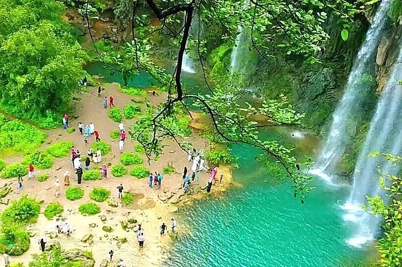
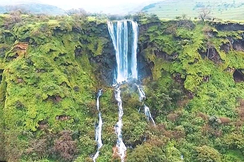
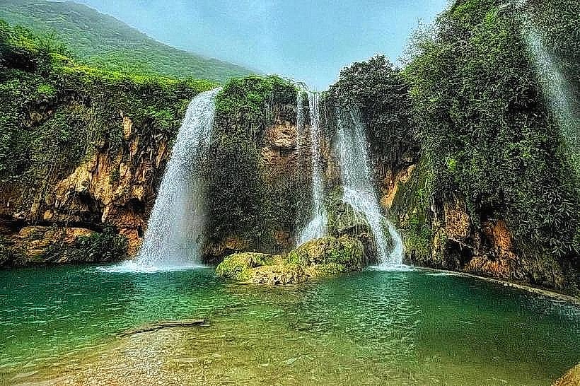
Wadi Darbat (15km Southwest)
Jabal Samhan Viewpoint (12km Northeast)
Anti-Gravity Point (18km Southwest)