Landmark: Anti Gravity Point
City: Salalah
Country: Oman
Continent: Asia
Anti Gravity Point, Salalah, Oman, Asia
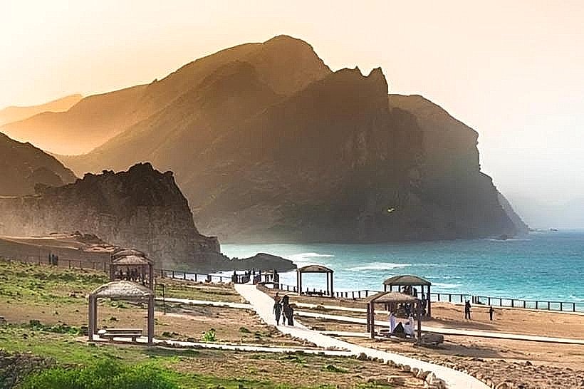
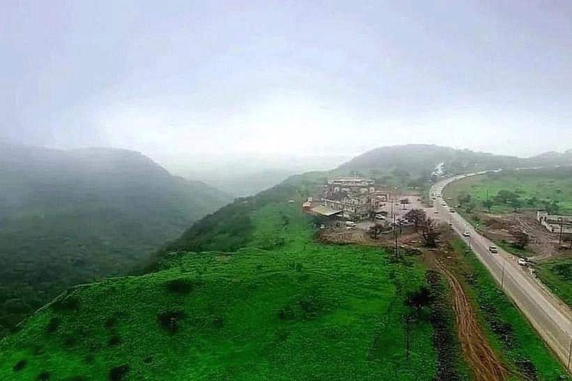
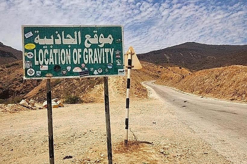
The Salalah Anti-Gravity Point, also known as the Magnetic Point, is a localized segment of road in the Dhofar Governorate where vehicles appear to roll uphill against the force of gravity while in neutral. This site is situated along the main highway between the coastal towns of Taqah and Mirbat.
Visual Characteristics
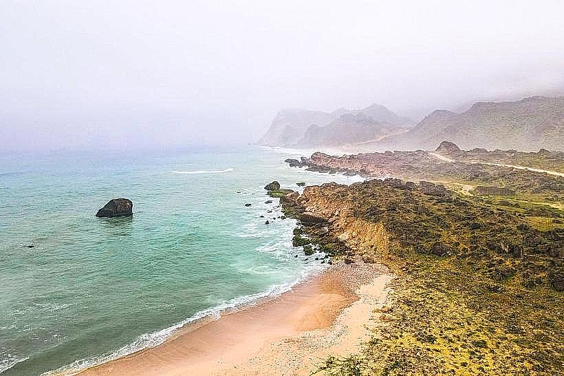
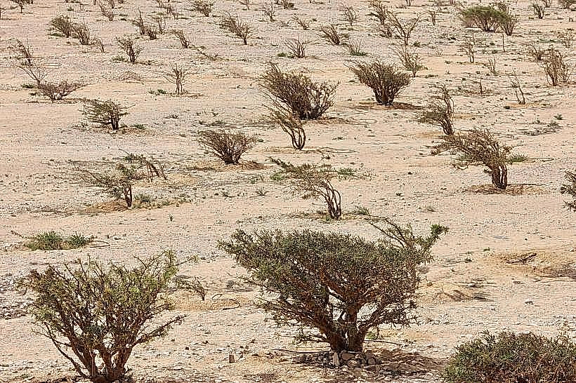
The site consists of a paved, two-lane asphalt road bordered by arid, rocky terrain and low-lying limestone hills. The surrounding landscape features sparse desert vegetation and grey-brown sedimentary rock formations. To the eye, the road appears to have a distinct upward incline, though the phenomenon suggests a contradiction between visual perception and physical movement.
Location & Access Logistics
The point is located approximately 60km east of Salalah and 27km west of Mirbat on the Mirbat-Salalah coastal road (Highway 49). Access is via a marked turn-off leading toward the mountains. There is no formal parking lot; vehicles typically pull over onto the wide paved shoulders of the road. No public transport serves this specific coordinates, necessitating a private vehicle or organized tour.
Historical & Ecological Origin
The site is a gravity hill, a type of optical illusion caused by the surrounding terrain. The layout of the hills and the horizon line create a false perspective, making a slight downhill slope appear to be an uphill incline. There is no localized magnetic field or gravitational anomaly; the effect is entirely topographical and psychological.
Key Highlights & Activities
The primary activity involves drivers shifting their vehicles into neutral or "N" at the bottom of the apparent incline to observe the car accelerating "up" the hill. Visitors also perform tests by pouring water on the road surface to observe it flowing toward the perceived higher elevation. Photography and videography are common to document the visual discrepancy.
Infrastructure & Amenities
Infrastructure at the site is minimal. There are no public restrooms, shaded structures, or permanent food vendors at the specific coordinates. A small informational sign typically marks the start of the zone. 4G cellular signal is available but can be intermittent depending on the service provider. The nearest comprehensive amenities are located in the town of Taqah, 20km to the west.
Best Time to Visit
The site is accessible year-round. Mid-day light is most effective for observing the topographical layout that creates the illusion, as shadows are minimized. During the Khareef season (June to September), heavy mist and fog can obscure the horizon, which may either enhance or diminish the optical effect depending on visibility levels.
Facts & Legends
Local folklore occasionally attributes the phenomenon to supernatural forces or magnetic mountain cores. However, GPS and surveying equipment consistently confirm that the "start" point is at a higher elevation than the "end" point of the roll. A specific tip for visitors is to ensure no vehicles are approaching from behind before attempting the neutral-gear test, as the road remains a public thoroughfare.
Nearby Landmarks
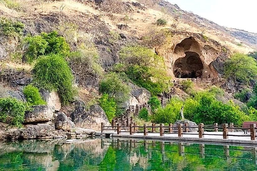
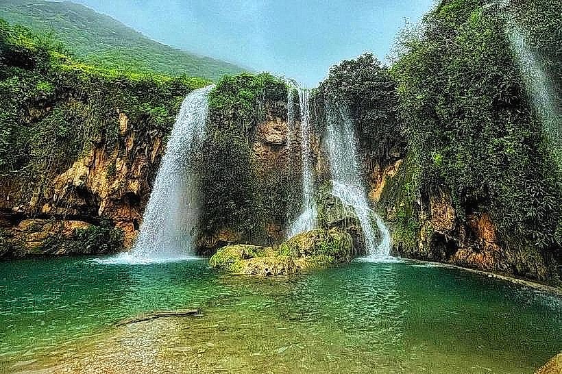
Wadi Darbat - 7.5km West
Tawi Attair Sinkhole - 12km North-West
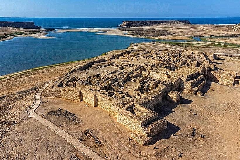
Sumhuram Archaeological Park - 14km West
Bin Ali’s Tomb - 24km East
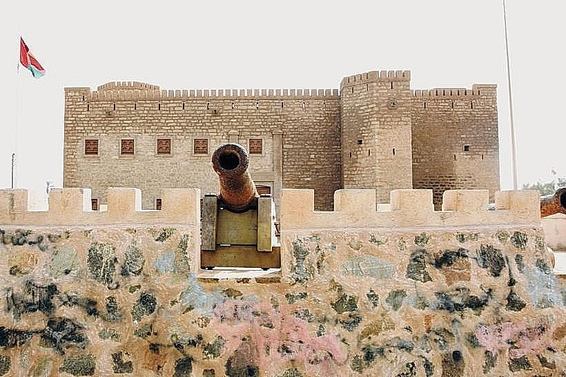
Mirbat Castle - 26km East