Landmark: Citadel of Raymond de Saint-Gilles
City: Tripoli
Country: Lebanon
Continent: Asia
Citadel of Raymond de Saint-Gilles, Tripoli, Lebanon, Asia
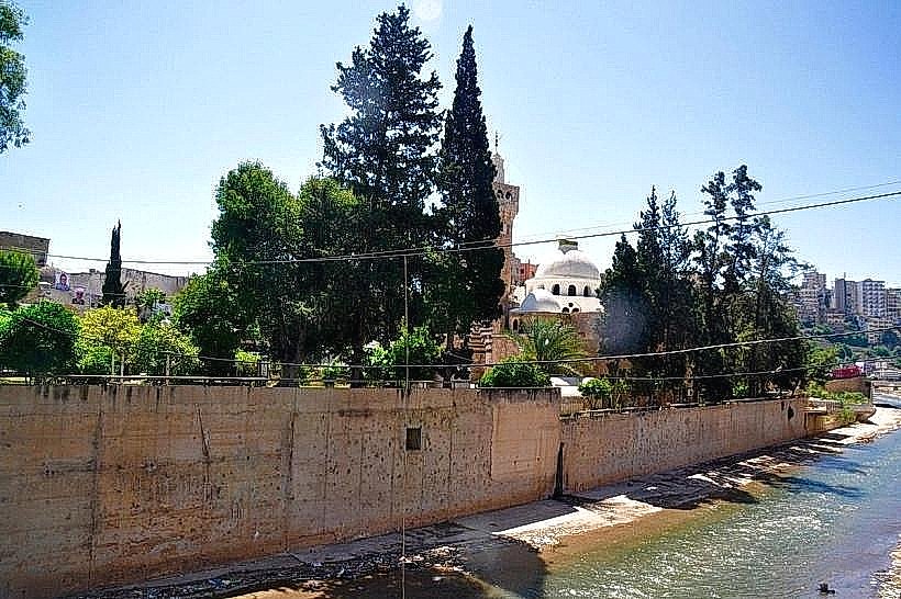
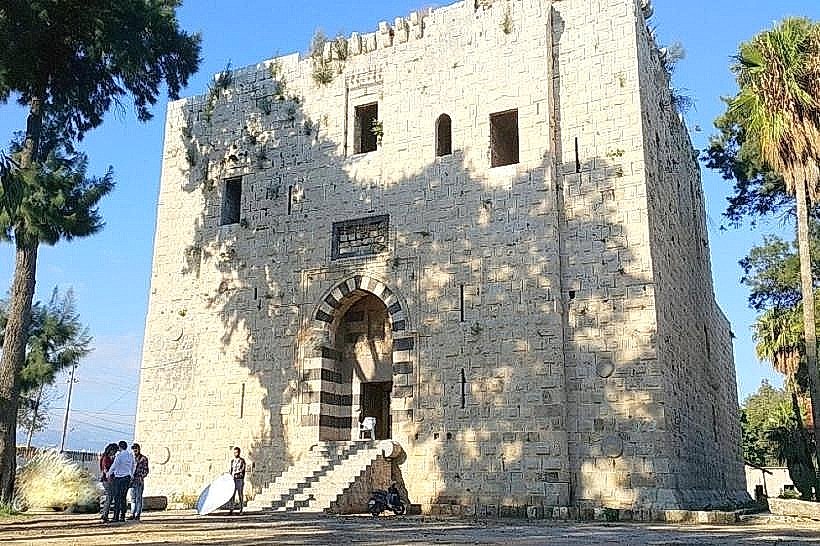
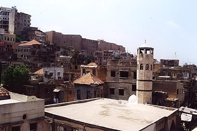
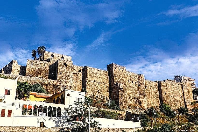
The Citadel of Raymond de Saint-Gilles, also known as Qal'at Sanjil, is a massive Crusader fortress located in Tripoli, Lebanon. Situated on a strategic hilltop overlooking the Abu Ali River and the historic core of the city, it stands as one of the largest and oldest military fortifications in the country.
Visual Characteristics
The citadel features an imposing architectural style characterized by thick defensive walls, dry moats, and a complex network of bastions and ramparts. Constructed primarily from heavy, dark-tinted limestone blocks, the fortress exhibits a blend of Crusader, Mamluk, and Ottoman architecture. The interior is a labyrinth of stone-vaulted chambers, open courtyards, narrow corridors, and underground passages, all centered around a large parade ground.
Location & Access Logistics
The fortress is located on the Citadel Hill (Aba Ali ridge) in the historic center of Tripoli, approximately 85km north of Beirut. Access is via steep, winding stone stairways and narrow streets rising from the old souks or the Abu Ali riverbank. Visitors can park in designated public lots near the base of the hill or along the riverbed road. Public buses and "Service" vans from Beirut to Tripoli drop passengers at the central Nour Square, a 15-minute walk or a short taxi ride from the main gate.
Historical & Ecological Origin
Construction began in 1103 by the Crusader Count Raymond de Saint-Gilles during the siege of Tripoli. It was built on the site of a previous 10th-century Fatimid fortification and lookout tower. After the Mamluk reconquest of the city in 1289, Emir Essendemir Kourji extensively rebuilt and expanded the fortress. Further structural modifications were made during the Ottoman rule under Sultan Suleiman the Magnificent in the 16th century, creating the layers of fortification visible today.
Key Highlights & Activities
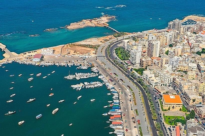
Visitors can explore the elevated battlements and watchtowers, which offer unobstructed panoramic views of Tripoli’s old city, the modern port district (El-Mina), and the Mediterranean Sea. Key points of interest include the Crusader-era gatehouses, the Mamluk octagonal keep, and a small on-site museum displaying archaeological artifacts excavated from the citadel grounds. Walking tours routinely navigate the labyrinthine interior to examine the mason marks left by medieval builders.
Infrastructure & Amenities
The citadel functions as an open-air archaeological site managed by the Directorate General of Antiquities. 5G cellular coverage is maintained across the upper courtyards, though reception is limited inside the thick-walled stone vaults. Basic public restrooms are located near the ticket office at the main entrance. While there are no commercial food vendors inside the castle walls, the traditional markets and sweet shops of the old souk are directly adjacent at the base of the hill.
Best Time to Visit
The citadel is best viewed during the morning hours when the sunlight strikes the eastern walls, or late afternoon for expansive sunset views over the coastal plain. It is open daily from 09:00 until sunset. The cooler months from October to April provide the most comfortable temperatures for walking the exposed stone ramparts and climbing the steep watchtowers.
Facts & Legends
A persistent local legend states that the citadel contains a series of secret underground escape tunnels that run from the hilltop all the way down to the Mediterranean coast and the port of El-Mina, allowing rulers to flee during long sieges. A verified historical curiosity is the presence of numerous ancient Roman granite columns embedded horizontally into the lower foundations of the fortress walls, reused by Crusader engineers as structural reinforcement bars to resist battering rams.
Nearby Landmarks
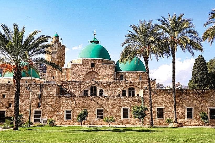
Taynal Mosque (0.6km Southwest)
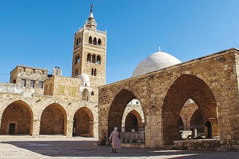
The Great Al-Mansouri Mosque (0.4km West)
Al-Muallaq Mosque (0.3km Northwest)
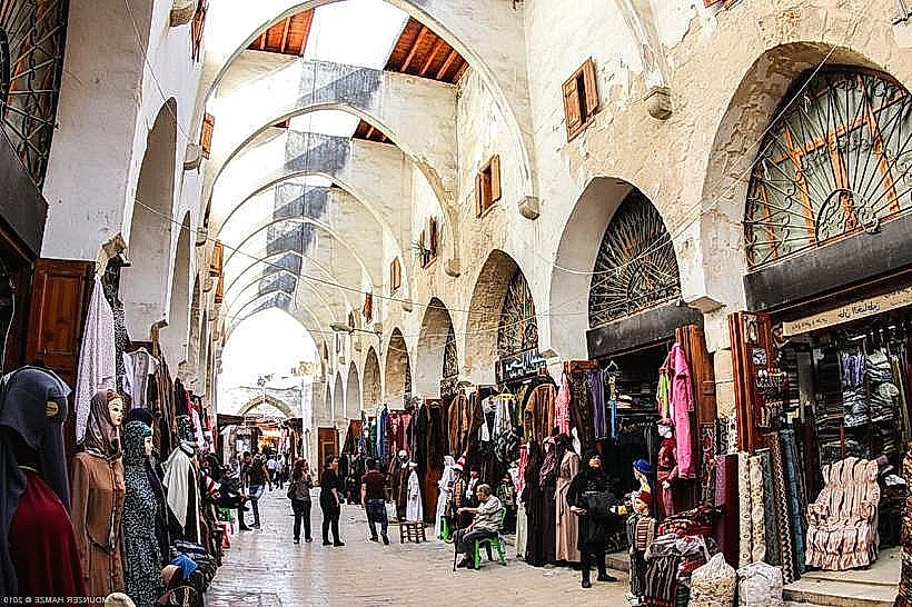
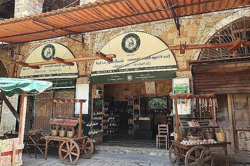
Khan al-Khayyatin (Tailors' Souk) (0.3km West)
Soap Khan (Khan al-Saboun) (0.4km West)