Landmark: Hadar HaCarmel
City: Haifa
Country: Israel
Continent: Asia
Hadar HaCarmel, Haifa, Israel, Asia
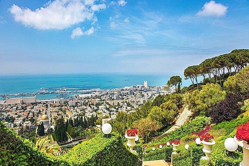
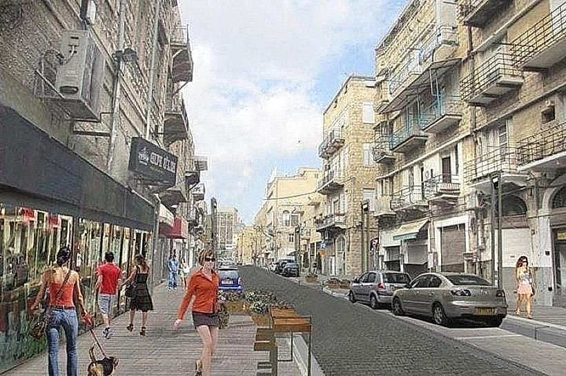
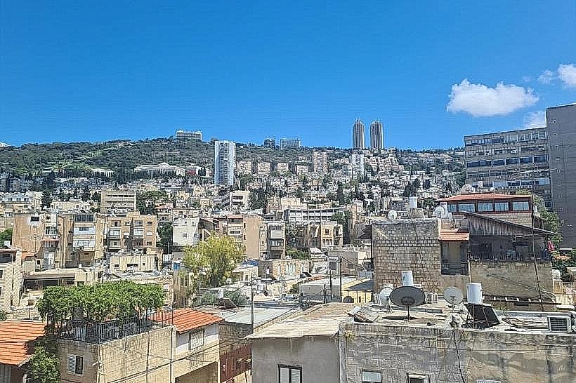
Hadar HaCarmel, commonly referred to as Hadar, is the central urban district of Haifa, Israel, situated on the middle tier of Mount Carmel. It serves as the city's historical commercial core, positioned between the Lower City at sea level and the residential neighborhoods of Central Carmel on the upper ridge.
Visual Characteristics
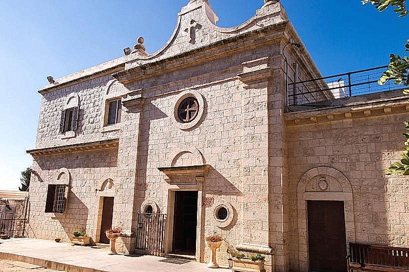
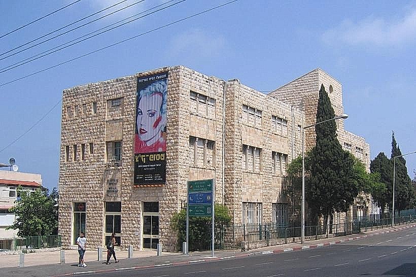
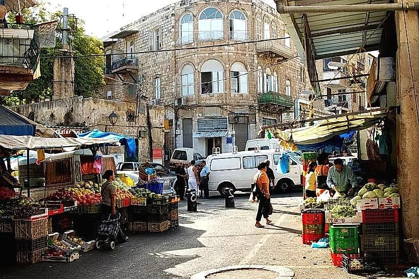
The district is defined by a high density of International Style (Bauhaus) and Eclectic architecture, constructed primarily from reinforced concrete finished with white or gray plaster and local limestone. The terrain is characterized by steep gradients, with narrow residential streets connected by public stone staircases that cut vertically through the neighborhood. Commercial arteries, such as Herzl and HeHalutz Streets, feature continuous storefront facades and stone-paved sidewalks.
Location & Access Logistics
Hadar is located approximately 1 km south of Haifa’s port area. It is accessible via the Carmelit funicular, with three dedicated stations: Hadar-Ha'Amphitheater, HaNevi'im, and Masada. Major bus thoroughfares include Herzl and Arlozorov Streets, served by dozens of Egged lines and the Metronit BRT (Lines 1 and 2). Road access is via Zionism Avenue from the west or the Ruppin Road bypass from the east. Parking is extremely limited, consisting mostly of narrow, paid street spots and a few private underground garages.
Historical & Ecological Origin
Hadar was planned in the 1920s by architect Richard Kauffmann as a "garden city" for Haifa's expanding Jewish population. It became the epicenter of Hebrew cultural and political life in Northern Israel during the British Mandate. The neighborhood is built on the Mediterranean-facing slopes of the Carmel, composed of Cenomanian limestone covered by brown terra rossa soil, which historically supported dense scrubland before urban development.
Key Highlights & Activities
The neighborhood is a hub for street markets and independent retail, particularly at the Talpiot Market, where local produce and dry goods are sold in a historic 1930s modernist hall. Walking tours of the "Hadar Stairs" allow for a vertical transit of the city, providing viewpoints of the harbor. Masada Street serves as the district's cultural center, featuring numerous antique bookstores, art galleries, and independent cafes.
Infrastructure & Amenities
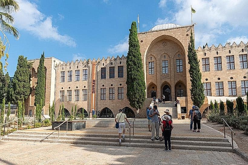
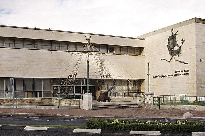
Hadar contains a high concentration of public services, including the Haifa City Hall and the main branch of the Post Office. Public restrooms are found within the Talpiot Market building and the municipal parks. The area has 5G cellular coverage throughout. While the main commercial streets lack significant canopy cover, numerous small municipal gardens, such as Binyamin Park, provide shaded seating areas.
Best Time to Visit
Commercial activity is highest on Friday mornings (08:00–14:00) during the pre-Sabbath market rush. For architectural photography, late morning is ideal to minimize the long shadows cast by the steep mountain slope. The neighborhood is most vibrant during the "Holiday of Holidays" in December, when street festivals extend from the German Colony into the lower parts of Hadar.
Facts & Legends
Hadar was the site of the "Battle for Haifa" in 1948, with the historic Technion building serving as a strategic command post. A local urban legend suggests the existence of a forgotten network of British-built tunnels running beneath the neighborhood's limestone foundations, designed as air-raid shelters during World War II.
Nearby Landmarks
Madatech Science Museum – 0.1km East
Talpiot Market – 0.6km East
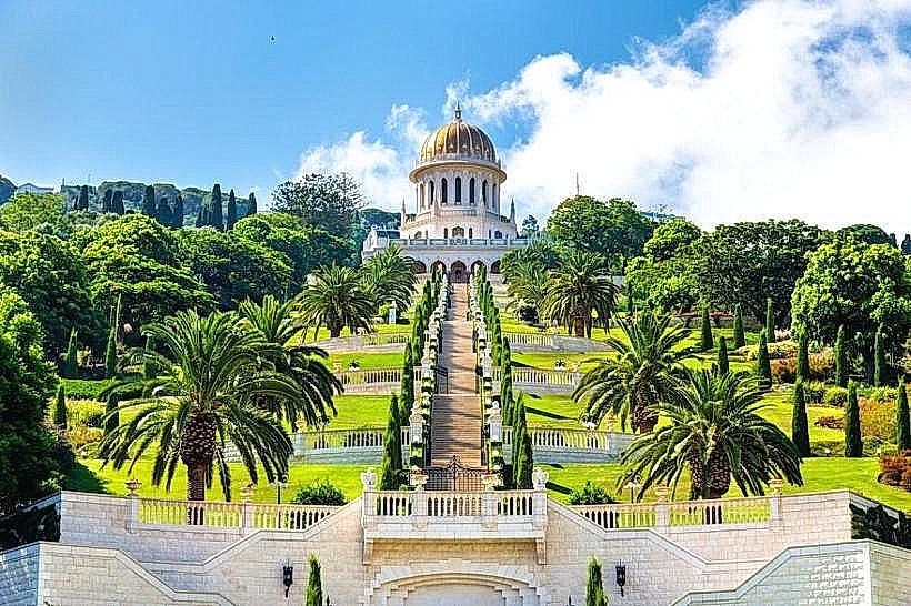
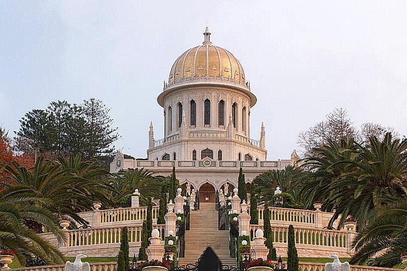
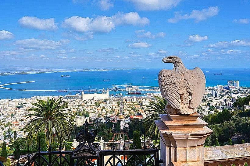
Baháʼí Gardens (Main Terrace) – 0.8km West
Wadi Nisnas – 0.5km Northwest
Haifa City Hall – 0.4km West