Landmark: Lower City
City: Haifa
Country: Israel
Continent: Asia
Lower City, Haifa, Israel, Asia
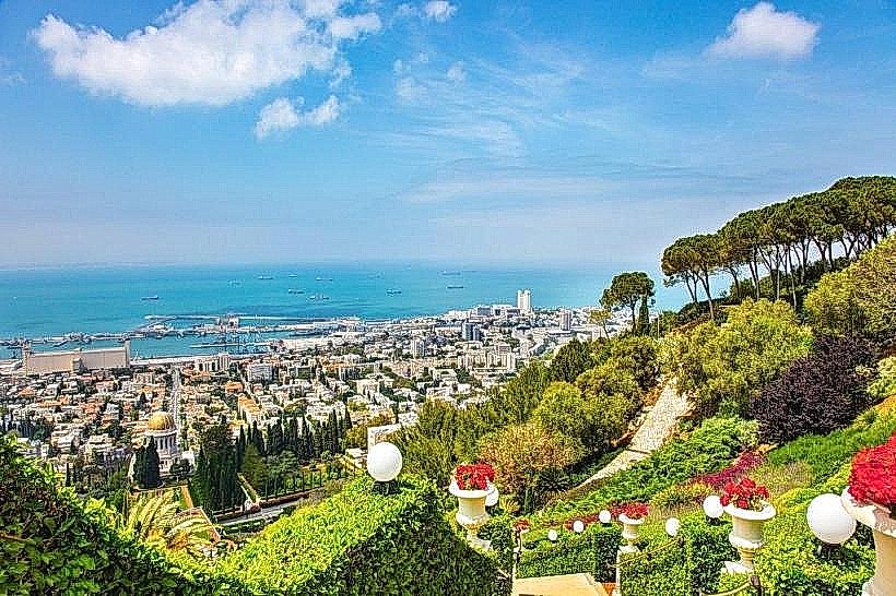
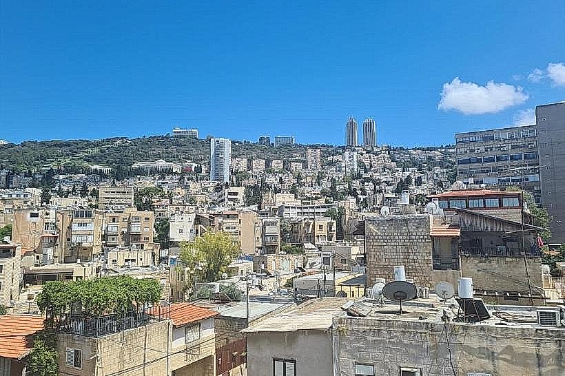
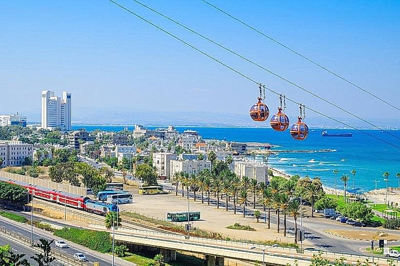
The Lower City is the historic portside district of Haifa, Israel, positioned between the Mediterranean Sea and the slopes of Mount Carmel. It serves as the city’s financial, administrative, and transport hub, centered around the reclaimed land of the British Mandate era and the Ottoman-era Old City.
Visual Characteristics
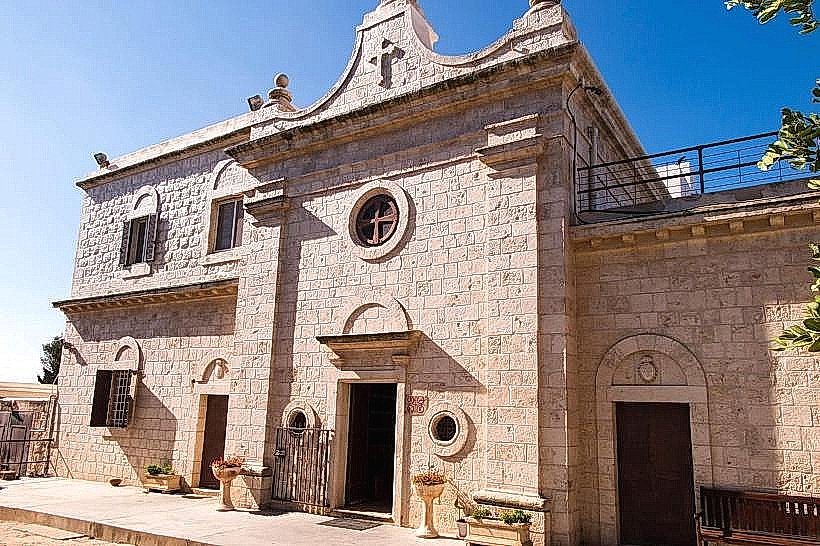
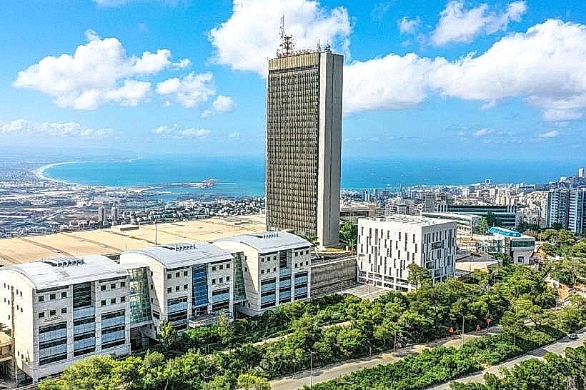
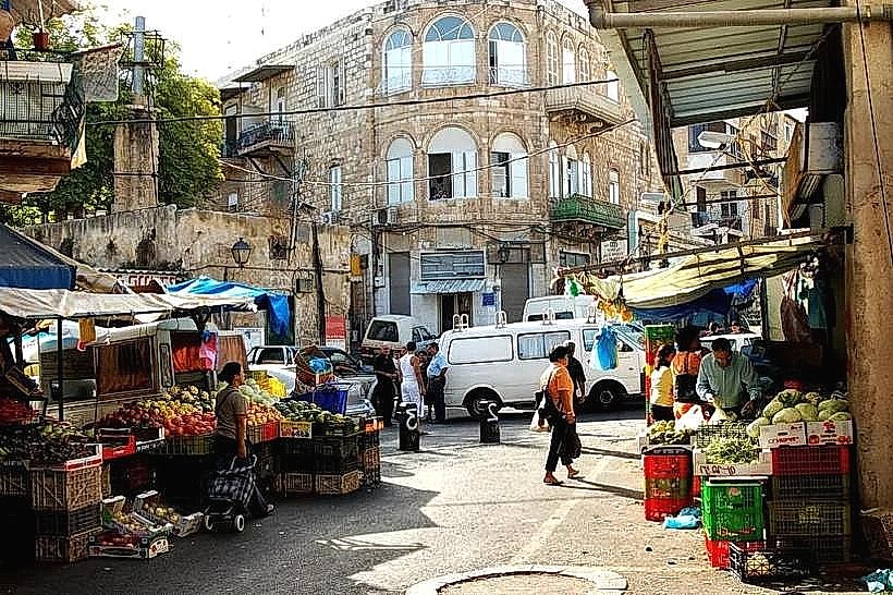
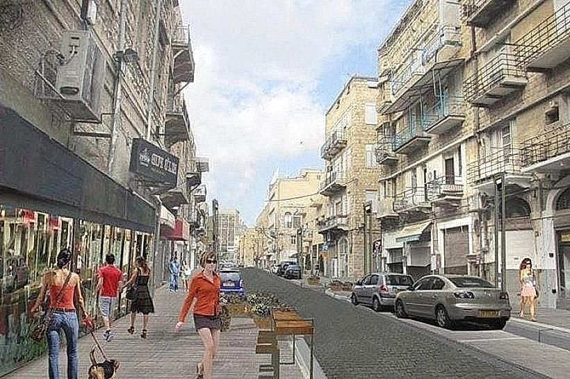
The architecture is a hybrid of Ottoman-era limestone structures, British Mandate-style stone buildings with arched windows, and modern glass-and-steel skyscrapers. Notable materials include weathered basalt and local kurkar stone in older sections, contrasted by the sleek cladding of the Sail Tower. The streetscape is defined by narrow alleys in the Turkish Market area and wide, paved transit corridors like HaAtsma'ut Road. Industrial port cranes and shipping containers form a constant visual backdrop to the northern horizon.
Location & Access Logistics
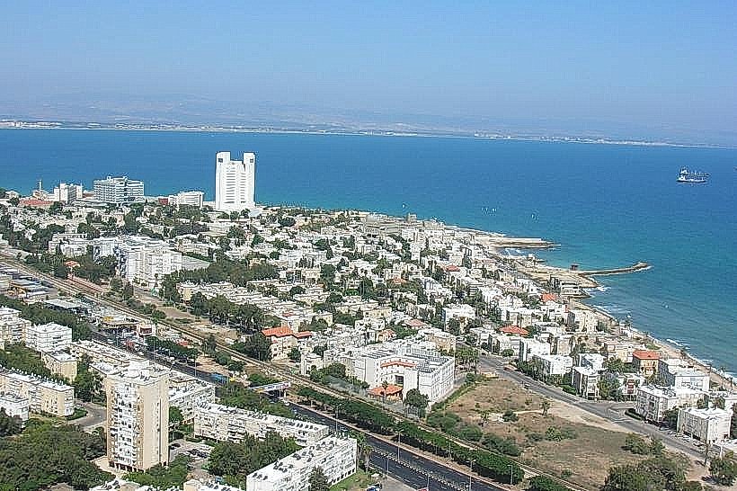
The Lower City spans the coastal strip between the Haifa Port and the base of the Wadi Nisnas and German Colony neighborhoods. It is directly accessible via Route 4 and Route 58. The district is the focal point of Haifa's public transit, housing the Haifa Center HaShmona railway station and serving as a major terminal for the Metronit bus rapid transit system (Lines 1, 2, and 3). The Carmelit, Israel's only underground funicular, has its base station at Paris Square.
Historical & Ecological Origin
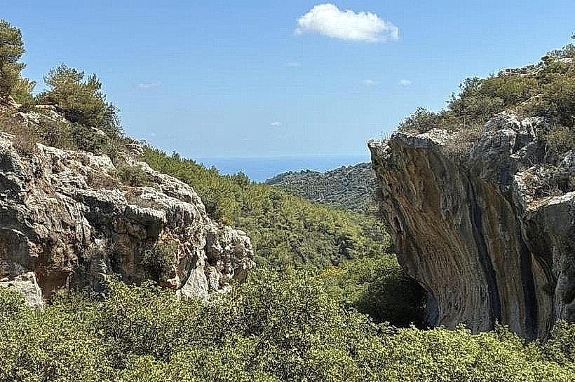
The modern district began as "Haifa al-Jadida" (New Haifa), established in 1761 by Daher el-Omar, who fortified the area with walls and a citadel. Much of the northern part of the district sits on land reclaimed from the sea by the British in the 1930s to facilitate the construction of the deep-water port. Geologically, the area is a narrow coastal plain consisting of marine sediments and sandstone ridges that flatten toward the harbor.
Key Highlights & Activities
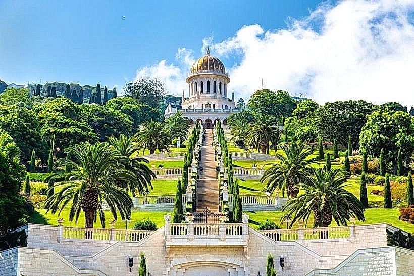
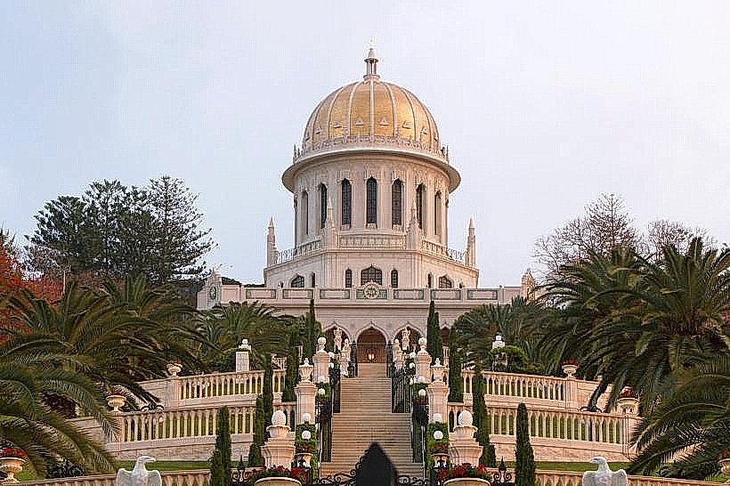
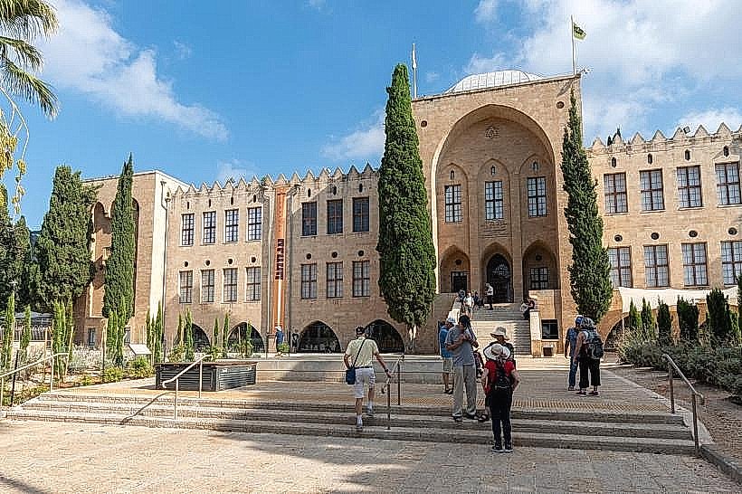
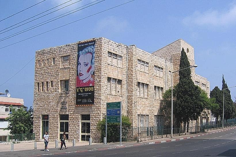
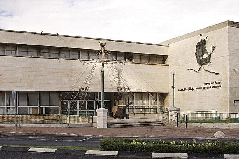
Walking tours of the Turkish Market (Shuk HaTurki) allow for the exploration of renovated artisan studios and historic storefronts. The district is a center for urban street art, with large-scale murals covering many of the older facades. Administrative functions are centralized at the Government Complex, which includes the iconic Sail Tower. Cultural activities focus on the numerous bars and galleries that occupy repurposed Ottoman warehouses.
Infrastructure & Amenities
The district is fully modernized with 5G cellular coverage and extensive fiber-optic infrastructure. Public restrooms are available at the Haifa Center HaShmona station and within the various government office buildings. Shade is provided by stone colonnades in British-era buildings and modern street awnings. The area contains a high density of food vendors, ranging from traditional hummus shops to contemporary bistros, primarily concentrated around Jaffa Road and Palmer Gate.
Best Time to Visit
The Lower City is most active during weekday business hours (08:00–17:00) for administrative visits, but the nightlife scene peaks after 20:00, especially on Thursdays and Saturdays. Photography is optimal during the "blue hour" just after sunset when the port lights and skyscraper LEDs reflect off the stone facades. Winters are mild, though the area is susceptible to coastal winds from the Mediterranean.
Facts & Legends
Paris Square (Kikar Pariz) was originally named Hamra Square but was renamed to honor the French company that built the Carmelit subway in the 1950s. A local historical oddity is the "Palace" (Saraya) building, which once served as the Ottoman administrative center and remains one of the few standing remnants of the 18th-century fortified town.
Nearby Landmarks
Haifa Port (Main Gate) – 0.3km North
German Colony – 0.5km West
Wadi Nisnas – 0.7km Southwest
Sail Tower (District Government Center) – 0.2km East
Railway Museum – 1.8km East