Landmark: Mount Carmel
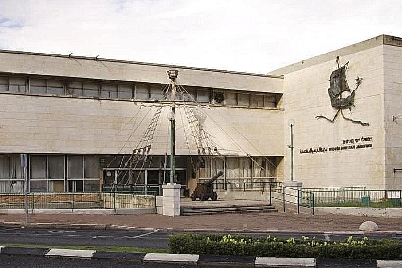
City: Haifa
Country: Israel
Continent: Asia
Mount Carmel, Haifa, Israel, Asia
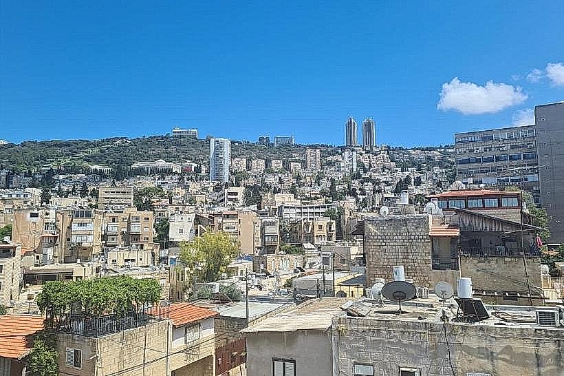
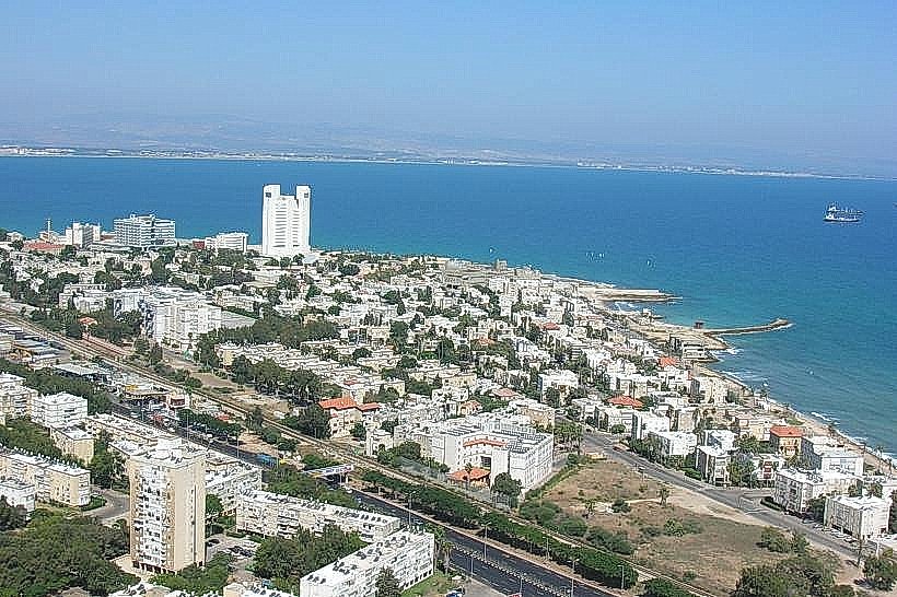
Mount Carmel is a coastal mountain range in northern Israel, stretching approximately 39 kilometers from the Mediterranean Sea toward the southeast. It serves as a major geographical and religious landmark, hosting the city of Haifa on its northern slopes.
Visual Characteristics
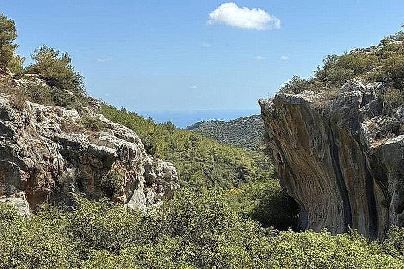
The range is characterized by a steep northeastern ridge and a gradual southwestern slope, reaching a maximum elevation of 546 meters. The terrain consists of limestone and flint, featuring numerous natural caves and volcanic rock outcroppings. Vegetation is dense and evergreen, composed of Mediterranean forests including pine, oak, laurel, and olive trees.
Location & Access Logistics
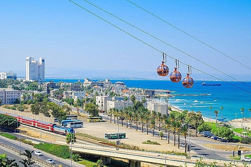
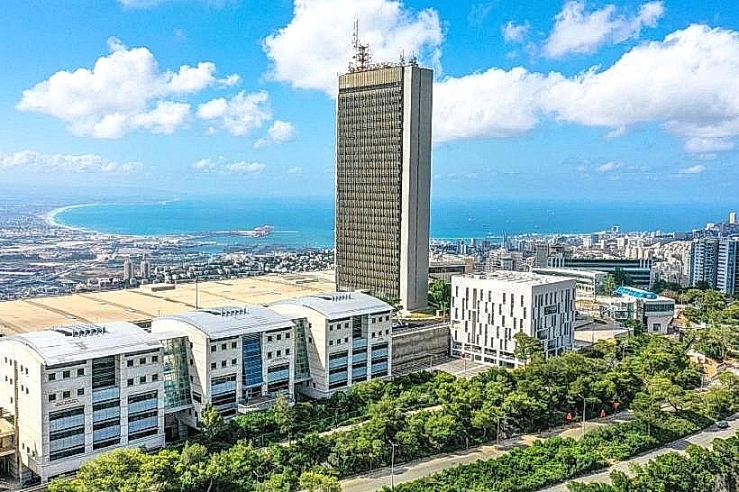
The main peak area is situated approximately 8km south of downtown Haifa. Access by road is primarily via Road 4 or Road 672 (Abba Hushi Boulevard). Public transport includes bus lines 24, 37, and 58 from central Haifa, as well as the Carmelit underground funicular which ascends the slope. Paid parking is located at Haifa University and various national park entry points.
Historical & Ecological Origin
The range formed from Cretaceous-period sedimentary rocks and was declared a UNESCO Biosphere Reserve in 1996. It contains archaeological sites such as the Nahal Me’arot caves, which document human habitation from the Palaeolithic era. Historically, it is cited as a sacred "holy headland" in Egyptian records from the 15th century BCE and is central to biblical accounts involving the Prophet Elijah.
Key Highlights & Activities
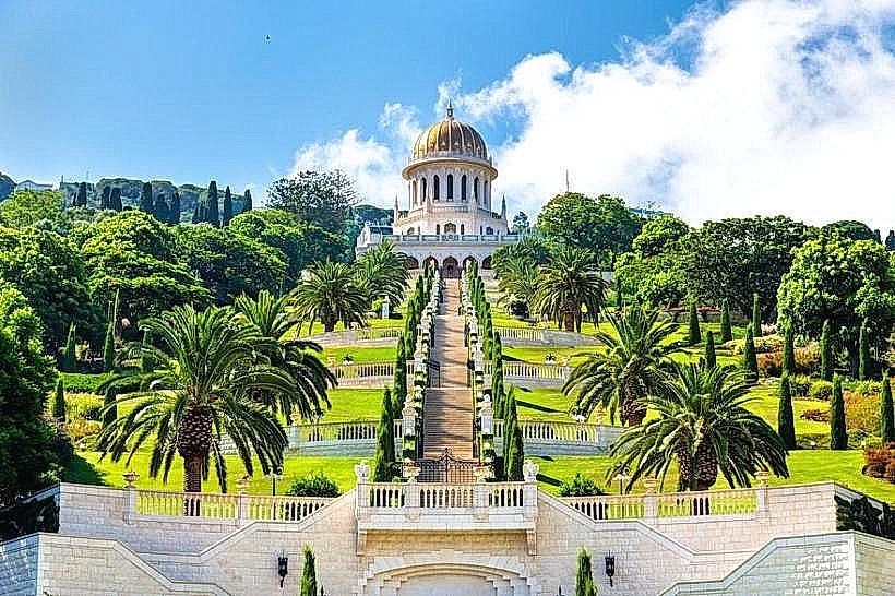
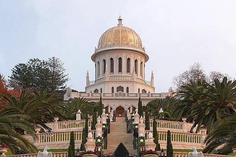
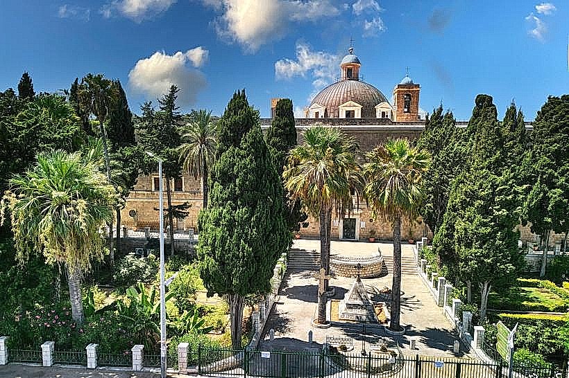
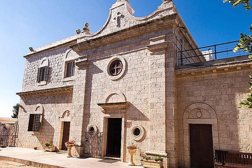
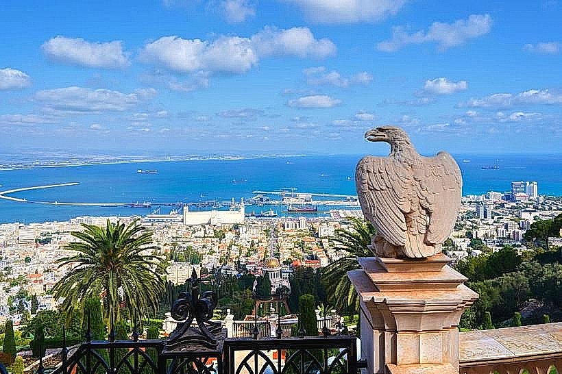
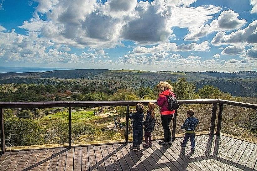
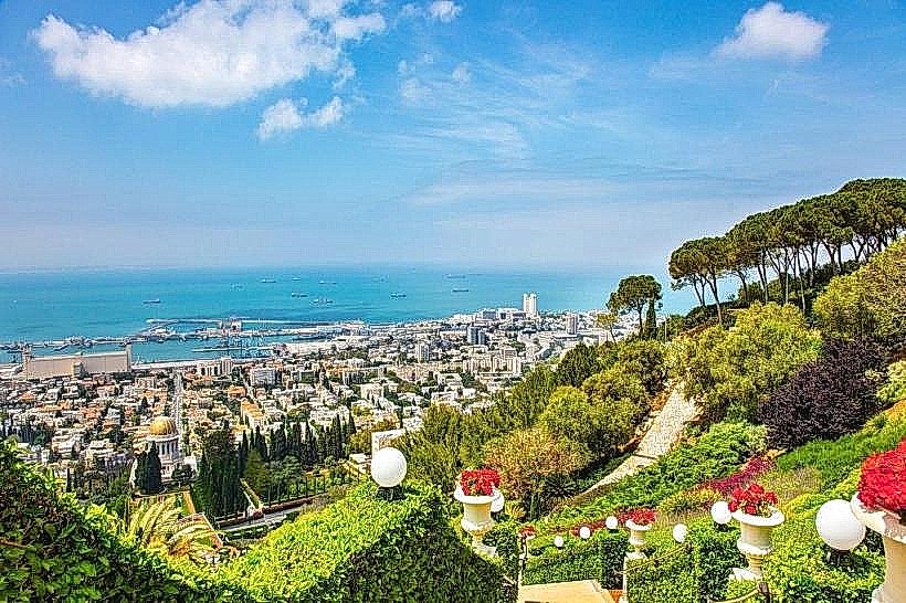
Hiking is the primary activity, with prominent routes including the Kelah Stream ("Little Switzerland") and the Israel National Trail. Visitors frequent the Stella Maris Monastery and Elijah's Cave for religious pilgrimage. The Bahá’í Gardens feature 19 terraced gardens descending the mountain’s northern face. Wildlife observation is conducted at the Hai-Bar Nature Reserve, which focuses on breeding endangered species like the Persian fallow deer.
Infrastructure & Amenities
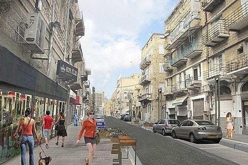
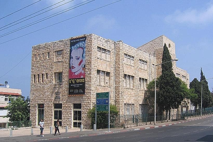
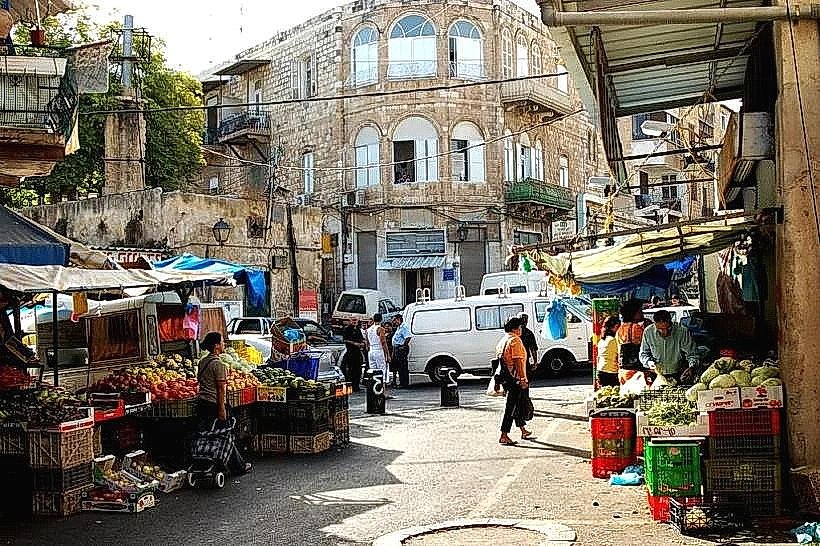
The Mount Carmel National Park provides multiple developed campgrounds equipped with picnic tables and restrooms. 5G cellular signal is consistent across the urbanized slopes and university grounds. Food services are concentrated in the Druze villages of Daliyat al-Karmel and Isfiya, as well as the Merkaz HaCarmel commercial district.
Best Time to Visit
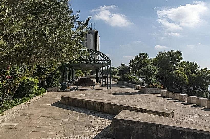
The best months for hiking and photography are October through May, when the weather is mild and the vegetation is vibrant. The hour before sunset is ideal for panoramic views of Haifa Bay and the Mediterranean. High-visibility days in winter allow for views extending to Rosh HaNikra and the Golan Heights.
Facts & Legends
A prominent local legend identifies the Muhraqa peak as the site of the biblical contest where Elijah called down fire from heaven. A verified historical oddity is that the mountain houses the Carmelit, Israel's only subway system, which is a subterranean funicular designed to navigate the range's steep 17.5-degree incline.
Nearby Landmarks
Bahá’í Gardens - 1.5km North
University of Haifa - 0.5km South
Stella Maris Monastery - 3.2km Northwest
Louis Promenade - 1.8km North
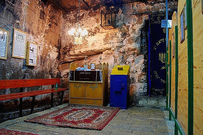
Elijah's Cave - 3.5km Northwest