Landmark: Mount Carmel National Park
City: Haifa
Country: Israel
Continent: Asia
Mount Carmel National Park, Haifa, Israel, Asia
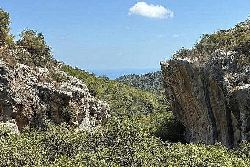
Mount Carmel National Park is a protected natural area covering approximately 10,000 hectares on the Mount Carmel range near Haifa, Israel. It is the largest national park in the country, encompassing a diverse Mediterranean ecosystem and numerous archaeological sites.
Visual Characteristics
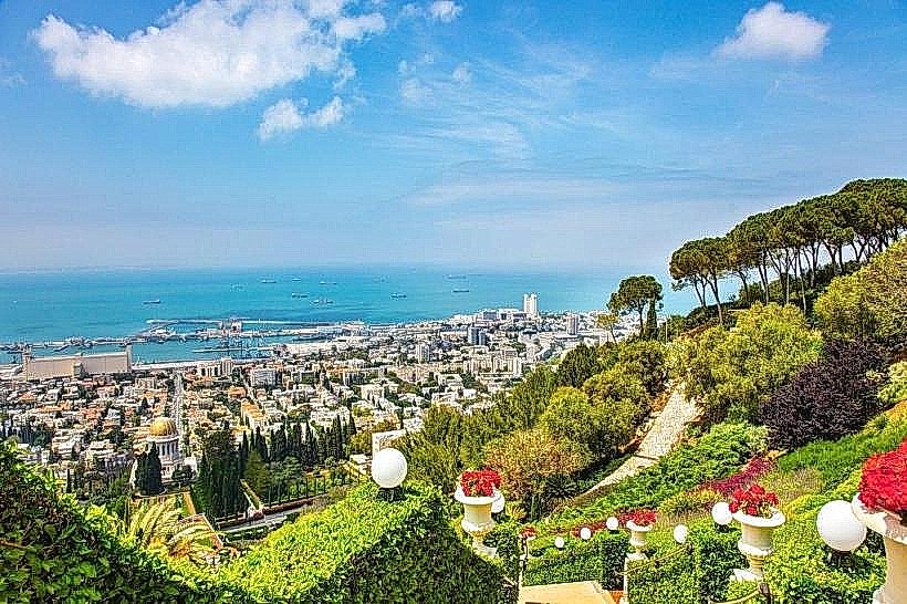
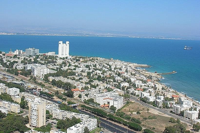
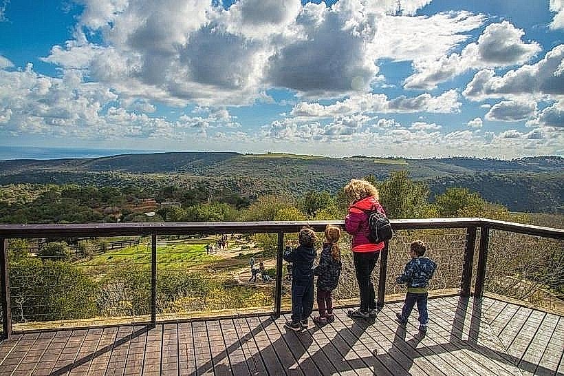
The park is characterized by a dense evergreen woodland consisting of Aleppo pine, Palestine oak, and terebinth trees. The terrain is rugged, featuring steep limestone ridges, deep karstic ravines, and white chalk cliffs. The soil is predominantly red terra rossa and light rendzina. From higher elevations, the landscape offers views of the Mediterranean coastal plain to the west and the Jezreel Valley to the east.
Location & Access Logistics
The main entrances are located off Highway 4 (coastal) and Route 672 (mountain ridge). The park is approximately 10 km south of Haifa city center. Public transport access is limited to Egged bus lines 37 and 192, which stop at points along the ridge road. Multiple dedicated parking lots are situated at major trailheads and picnic areas, such as the Swiss Heights and the "Little Switzerland" (HaShwaizaria HaKtana) section.
Historical & Ecological Origin
Mount Carmel was declared a national park in 1971 and is recognized as a UNESCO Biosphere Reserve. Geologically, it is an uplifted block of Cenomanian-Turonian limestone and dolomite. The area has been inhabited since the prehistoric era, with several nearby caves containing evidence of Neanderthal and early modern human occupation. The park's purpose is the preservation of the unique Mediterranean maquis and garigue habitats.
Key Highlights & Activities
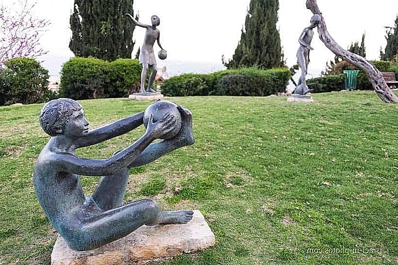
Extensive hiking trails of varying difficulty levels intersect the park, including segments of the Israel National Trail. Mountain biking is permitted on designated fire roads and single-track paths. The "Little Switzerland" area is a primary destination for its scenic views and shaded walking routes. Observation of local wildlife, such as the Persian fallow deer and mountain gazelle, is a frequent activity, particularly near the Carmel Hai-Bar Nature Reserve.
Infrastructure & Amenities
The park contains over 60 developed picnic sites equipped with wooden tables and stone grills. Public restrooms and drinking water fountains are located at the main visitor centers and larger recreation areas. Mobile phone signal (5G) is generally strong along the ridge, though it may fluctuate in deep ravines. Shaded areas are abundant due to the dense forest canopy.
Best Time to Visit
The optimal months for visiting are from October to May, when temperatures are mild and the Mediterranean wildflowers, including orchids and cyclamens, are in bloom. Photography is best in the early morning or late afternoon to capture the contrast of the white limestone cliffs against the deep green foliage. The park is accessible year-round, though hiking is discouraged during extreme summer heatwaves.
Facts & Legends
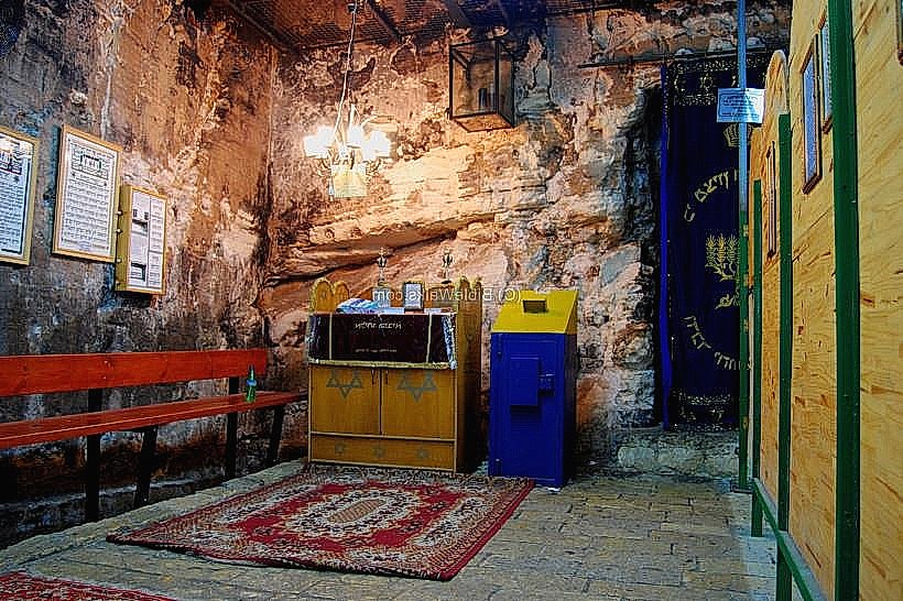
A major forest fire in 2010 significantly altered the park's landscape, leading to a massive ecological restoration project that has become a global case study in forest recovery. Local tradition identifies various sites within the park as the locations of the Prophet Elijah’s hidden retreats.
Nearby Landmarks
Carmel Hai-Bar Nature Reserve – 0.5km West
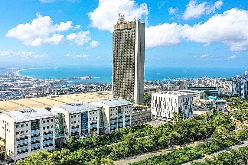
University of Haifa – 2.0km North
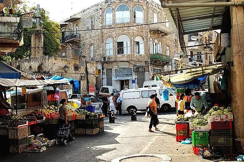
Isfiya Village – 3.5km Southeast
Daliyat al-Karmel – 5.0km Southeast
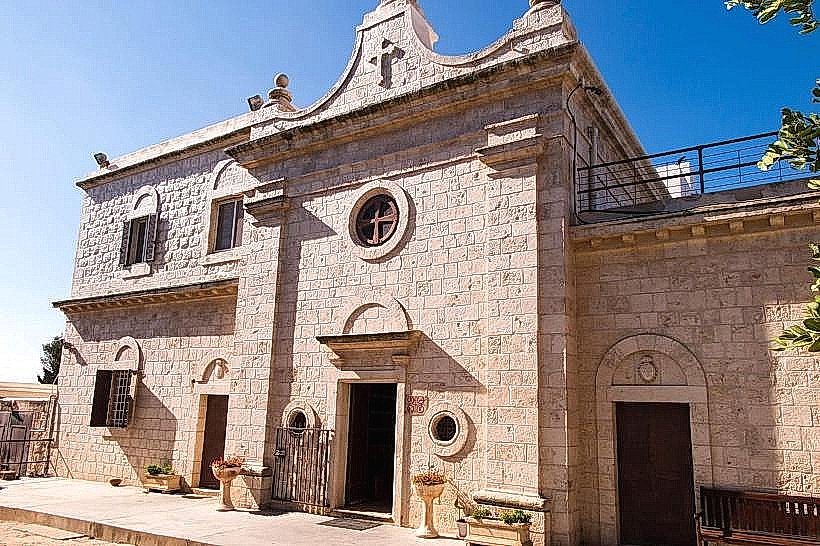
Muhraqa Monastery – 4.8km Southeast