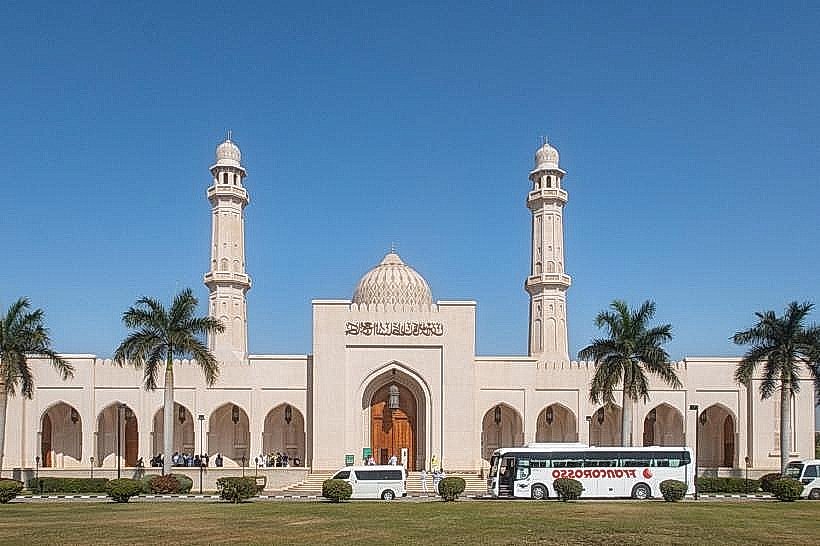
Landmark: Jabal Ittin
City: Salalah
Country: Oman
Continent: Asia
Jabal Ittin, Salalah, Oman, Asia
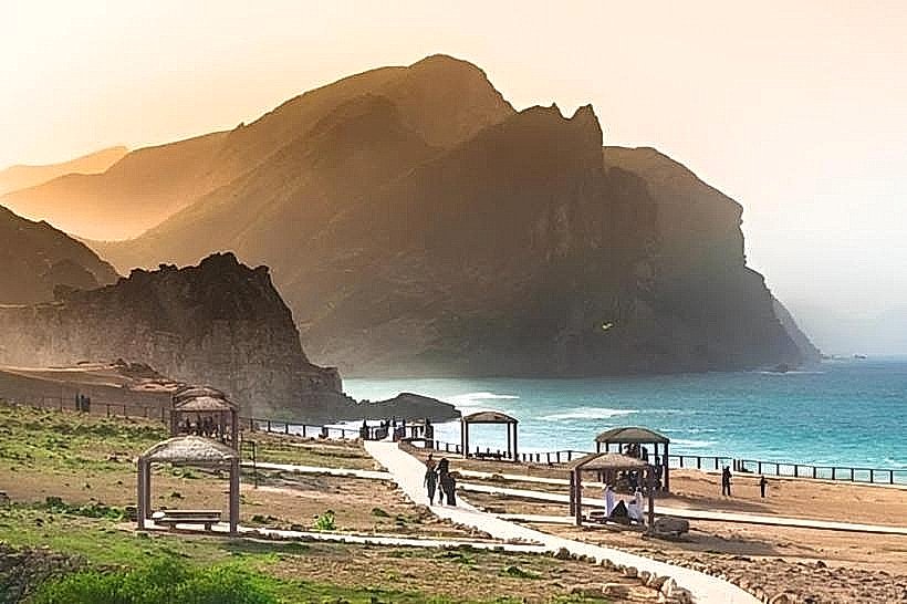
Jabal Ittin is a prominent mountain ridge and plateau located in the Dhofar Governorate of Oman. It is situated approximately 10km north of the Salalah city center within the Qara mountain range.
Visual Characteristics
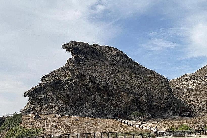
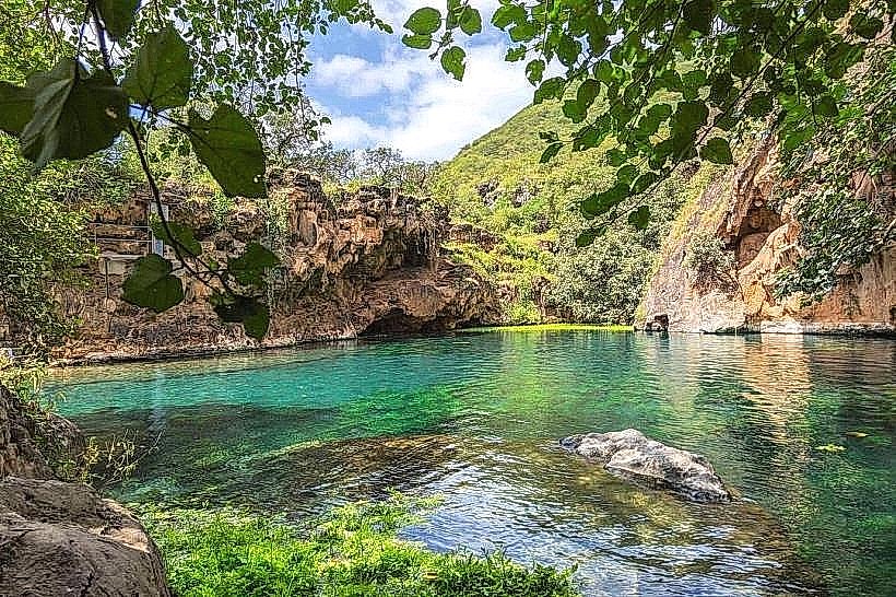
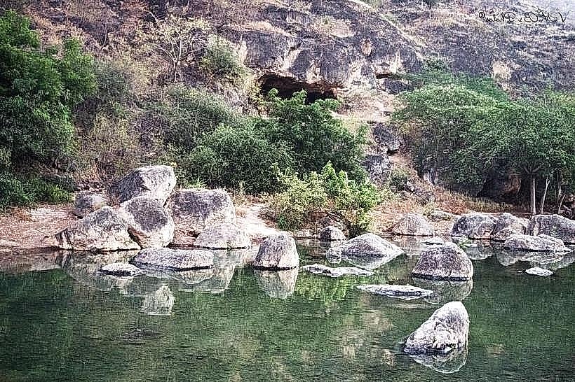
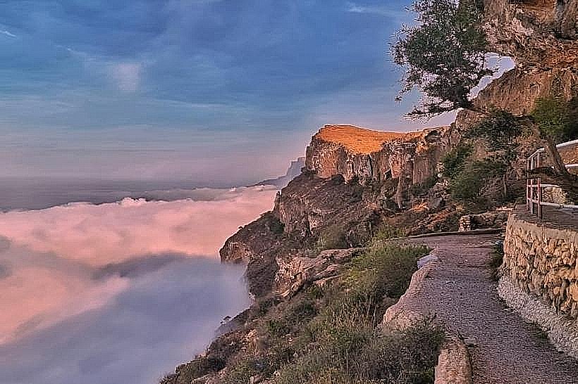
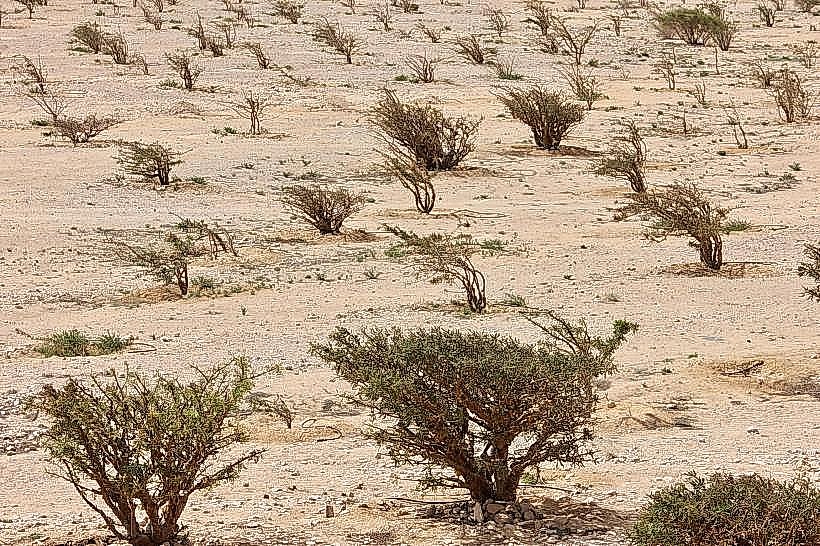
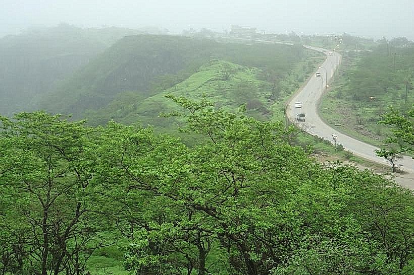
The mountain features a limestone plateau covered in dense green grasses and deciduous shrubs during the monsoon season. The terrain consists of rolling hills, steep escarpments, and grey rock outcrops. Elevations reach approximately 800 meters above sea level, frequently enveloped in low-lying clouds and heavy mist.
Location & Access Logistics
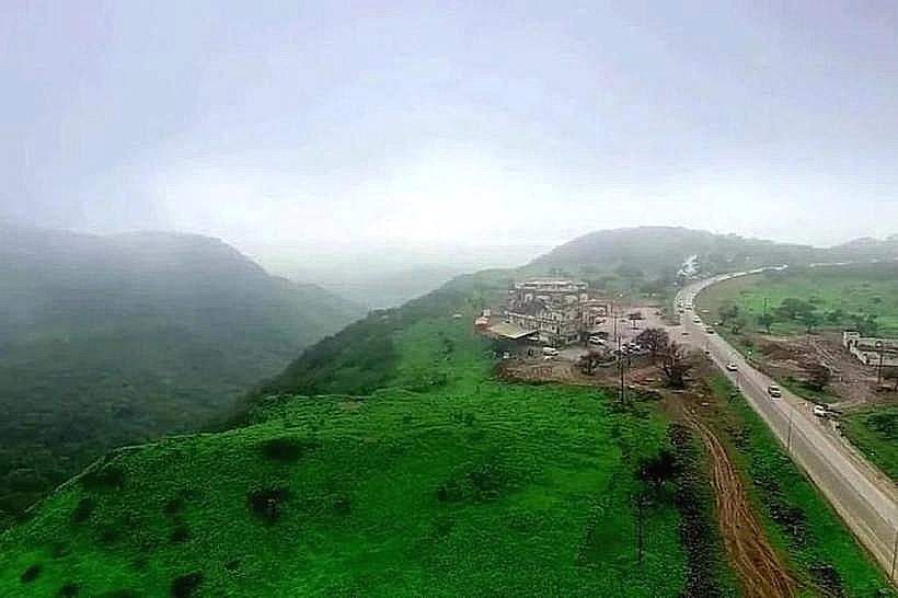
Access is via Ittin Road (Route 47), a paved dual carriageway that ascends from the Salalah plains. The site is a 15-minute drive from Salalah International Airport. Dedicated asphalt parking lots are located at the summit and near major viewpoints. No specific public bus lines serve the mountain peak, necessitating private vehicle or taxi transport.
Historical & Ecological Origin
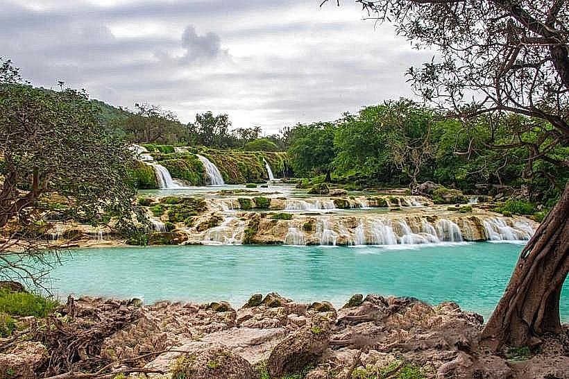
The mountain is part of the Jurassic and Cretaceous limestone formations of the South Arabian margin. Ecologically, it is a primary site for the "Khareef" phenomenon, a localized seasonal monsoon that transforms the arid landscape into a tropical woodland environment between June and September.
Key Highlights & Activities
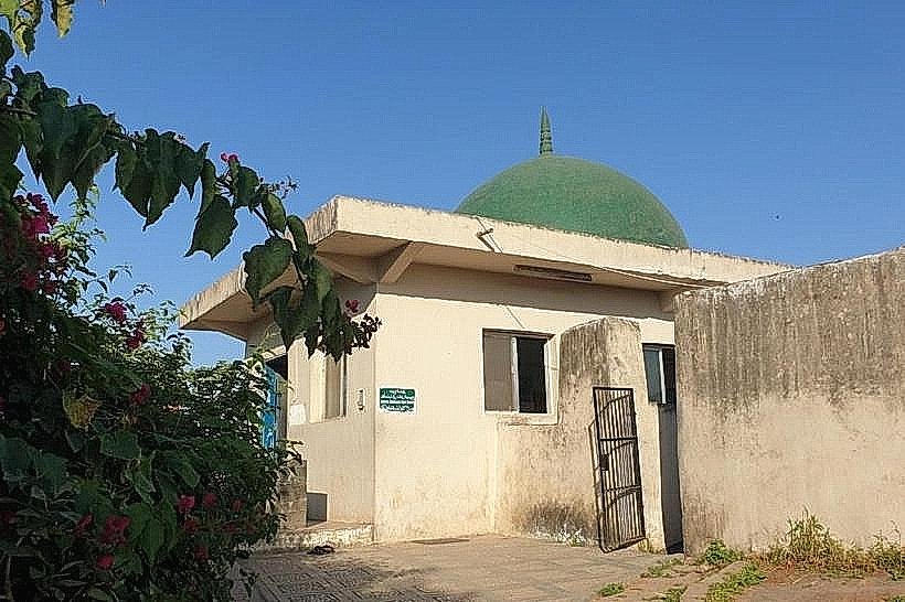
Hiking is available along numerous unmarked plateau trails. Dedicated picnic areas are situated near the cliff edges. The Tomb of Prophet Job (Nabi Ayoub) is a major site located at the northwestern edge of the ridge. Overlooking the Salalah city lights is a frequent evening activity.
Infrastructure & Amenities
Public restrooms and permanent prayer rooms are available near the Nabi Ayoub Tomb. Concrete gazebos provide shade throughout the plateau. 5G cellular signal is strong due to proximity to city towers. Numerous seasonal food stalls and permanent "Madhbi" (stone-grilled meat) restaurants are located at the base and mid-section of the mountain.
Best Time to Visit
The peak season is during the Khareef (late June to early September) for lush vegetation and mist. For photography of the Salalah skyline, late evening during the winter months (October to March) provides the highest visibility. Early morning visits are required to avoid heavy fog during the monsoon.
Facts & Legends
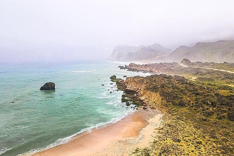
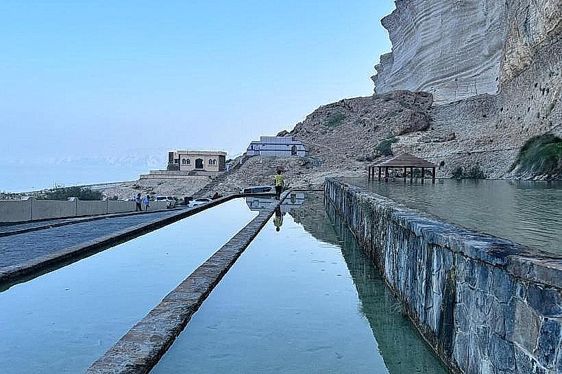
A specific geological feature on the mountain is the "Blowhole" effect caused by sea caves at the base of the range, though the plateau itself is famous for the Tomb of Prophet Job, which contains a preserved footprint attributed to the biblical figure.
Nearby Landmarks
Tomb of Prophet Job - 0.1km West
Ittin Recreation Park - 4.5km South
Salalah Gardens Mall - 8.2km South
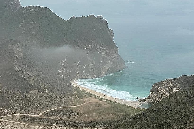
Al Mughsail Beach - 35km West
Wadi Sahalnoot - 12km East