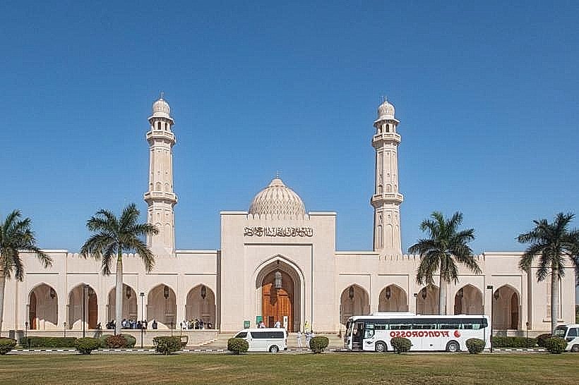
Landmark: Jebel Qamar
City: Salalah
Country: Oman
Continent: Asia
Jebel Qamar, Salalah, Oman, Asia
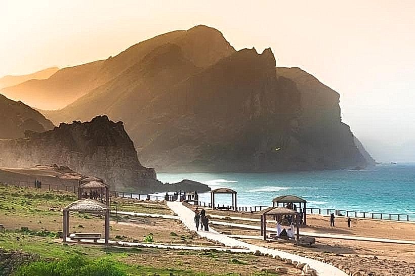
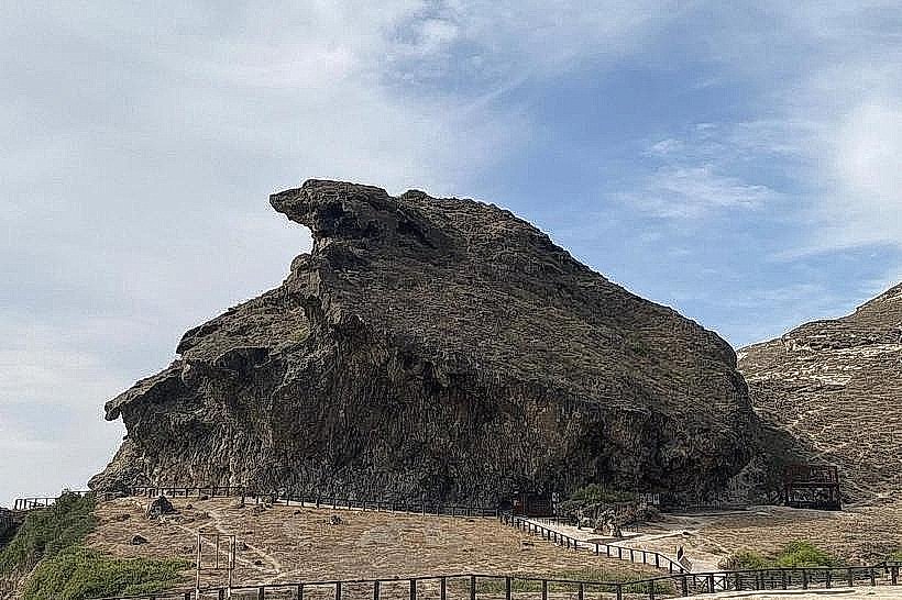
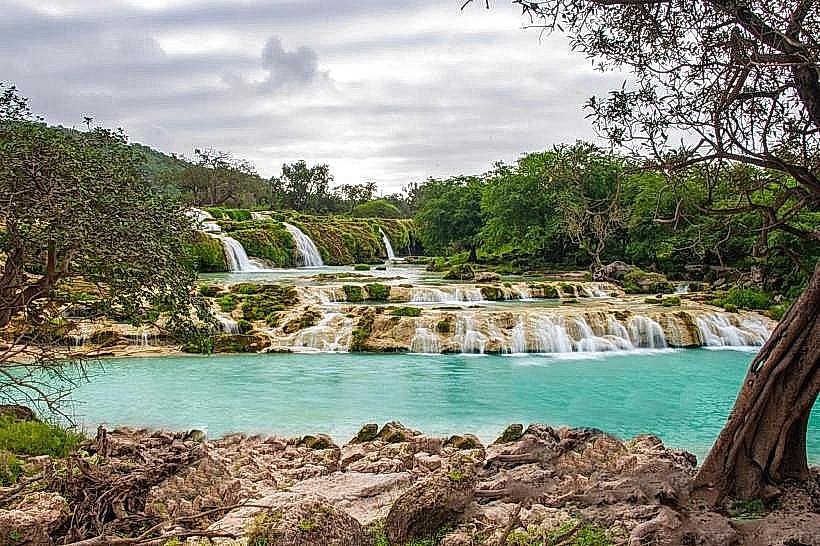
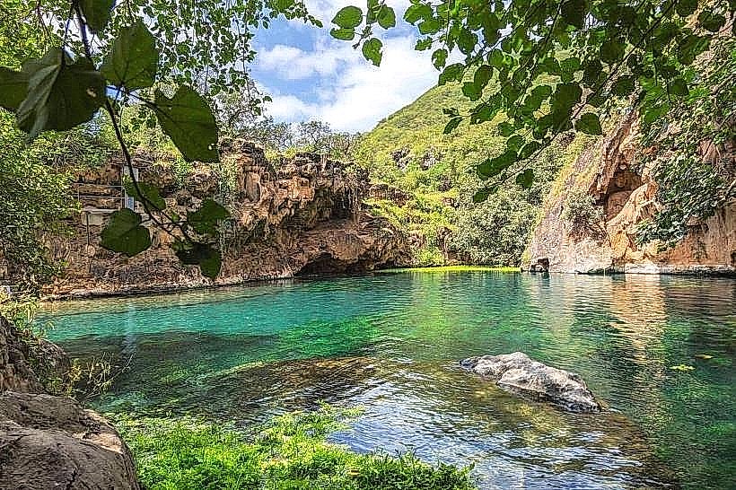
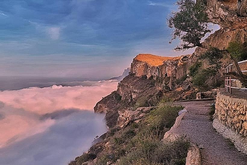
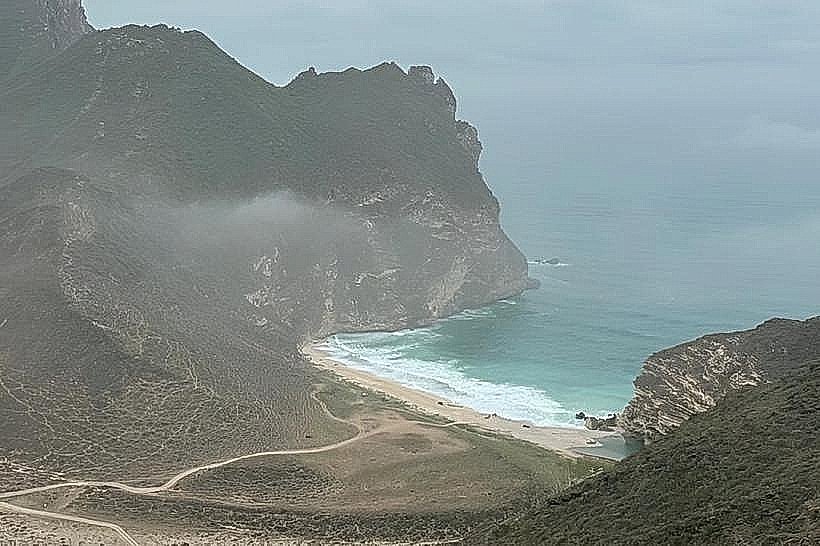
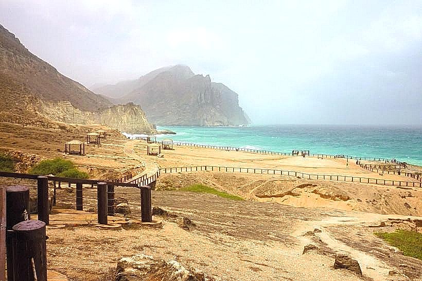
Jabal Qamar, or the "Mountains of the Moon," is a high-altitude limestone mountain range in the Dhofar Governorate of southwestern Oman. It forms the western sector of the Dhofar highlands, extending toward the border with Yemen and rising abruptly from the Arabian Sea to elevations of approximately 1,100 meters.
Visual Characteristics
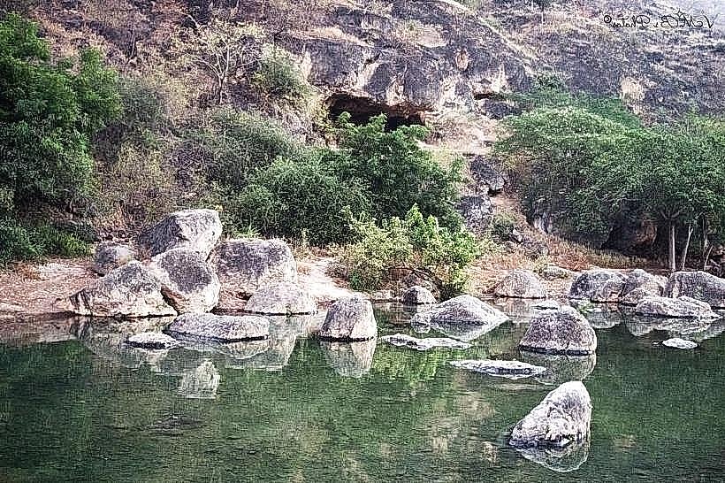
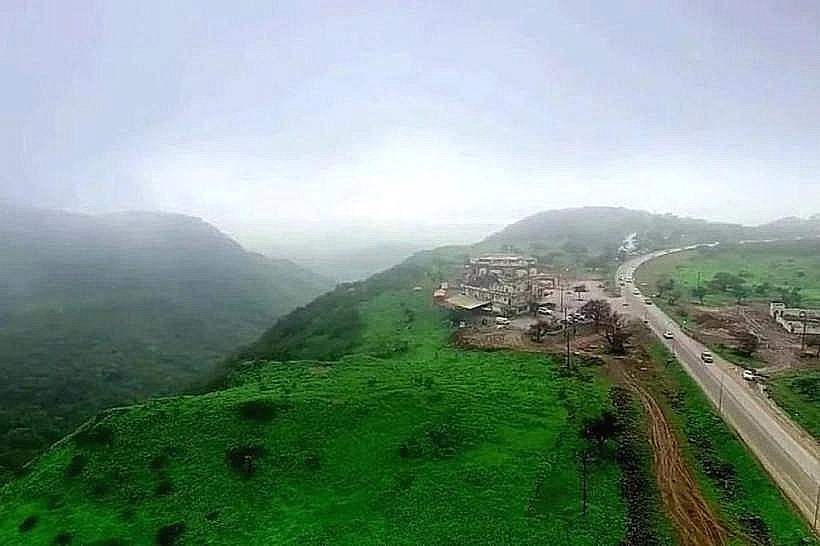
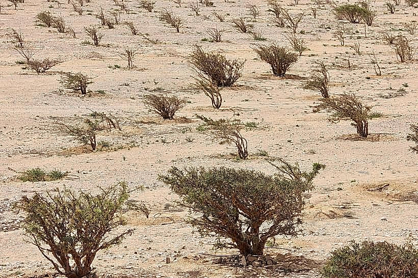
The range is defined by steep, south-facing limestone cliffs that drop directly into the sea, creating deep gorges and sharp escarpments. During the monsoon season, the southern slopes are covered in dense deciduous woodland and seasonal grasslands, while the northern slopes remain arid with rocky outcrops and desert shrubs. The geology consists primarily of fossiliferous Cretaceous and Tertiary limestone sequences, often appearing in shades of light grey and tan.
Location & Access Logistics
Jabal Qamar is located approximately 50km to 80km west of Salalah. Access is via the main coastal highway (Route 47), which features steep gradients and tight hairpins as it ascends the range toward Sarfait and the Yemeni border. There is no public bus service to the mountain peaks; access requires a private 4WD vehicle due to the technical nature of the serpentine roads. Parking is limited to unpaved pull-offs and designated viewpoint areas along the highway.
Historical & Ecological Origin
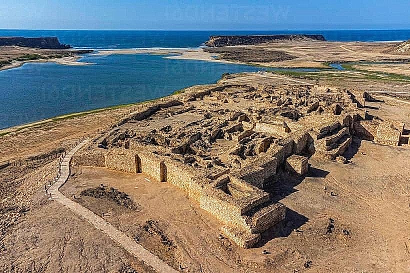
The mountains were formed during the Cretaceous period as part of the Jeza-Qamar Basin. Historically, the range served as a rugged transit corridor for the frankincense trade, connecting coastal ports to the inland Nejd desert. Ecologically, it is a confirmed Key Biodiversity Area (KBA) and part of the Jabal Qamar National Scenic Reserve, acting as a sanctuary for the rare Arabian leopard and endemic flora such as Anogeissus dhofarica.
Key Highlights & Activities
Wildlife observation and birdwatching are central activities, with frequent sightings of eagles and Afrotropical bird species. Technical mountain driving is a highlight due to the "Edge of the World" style viewpoints overlooking the Arabian Sea. Hiking is possible on traditional pastoral tracks used by local cattle herders, though these are often unmarked and require high navigation skills.
Infrastructure & Amenities
Infrastructure is minimal and primarily serves the main transit highway. There are no public restrooms, shaded gazebos, or permanent food vendors on the mountain slopes. Visitors must carry independent supplies from Salalah or Mughsail. 4G cellular signal is available along the main road but becomes intermittent in deep gorges and on the northern rain-shadow slopes.
Best Time to Visit
The peak period is during the Khareef (June to September), when the mountains are covered in thick mist and green vegetation. For high-visibility photography and clear views of the coastal cliffs, the winter months (October to March) are optimal. During the monsoon, driving conditions can be hazardous due to heavy fog and reduced visibility on steep inclines.
Facts & Legends
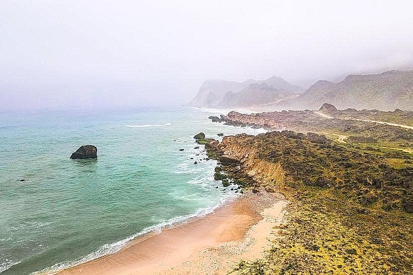
The name "Mountains of the Moon" is derived from the stark, pale appearance of the limestone peaks when viewed from the sea at night. Local pastoral communities still practice traditional cattle husbandry on the plateau, and it is considered a "secret" tip to visit the remote coastal cliffs near Dalkut to see ancient baobab trees that are among the largest in the Arabian Peninsula.
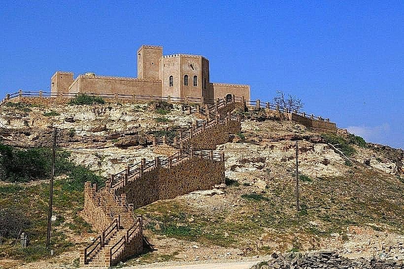
Nearby Landmarks
Mughsail Blowholes - 4.5km East
Khor Kharfot - 3.8km West (at the mountain base)
Marneef Cave - 4.2km East
Shaat Viewpoint - 2.5km South-West
Fazayah Beach - 5.0km South-East