Landmark: Taiq Sinkhole
City: Salalah
Country: Oman
Continent: Asia
Taiq Sinkhole, Salalah, Oman, Asia
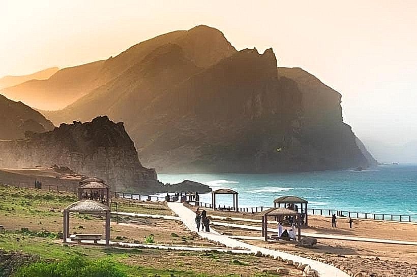
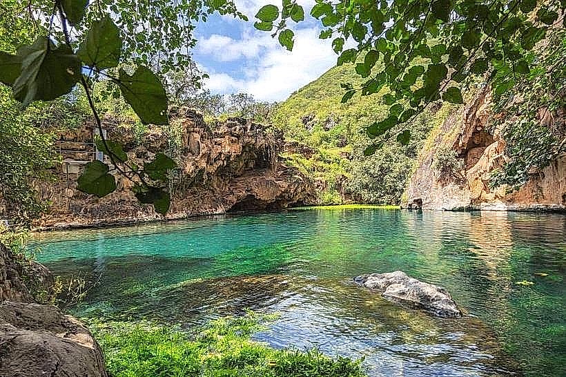
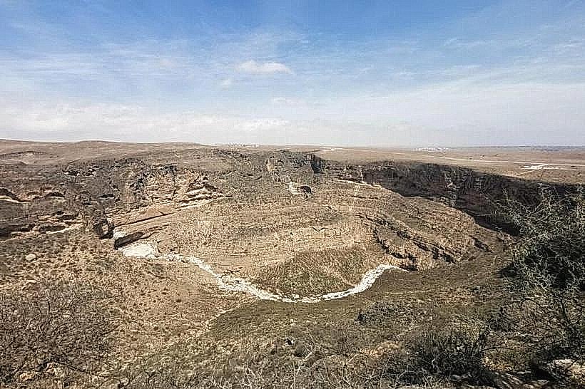
Taiq Sinkhole is one of the largest sinkholes in the world by volume, situated in the eastern Dhofar mountain range. The site is located approximately 55 kilometers northeast of Salalah and 10 kilometers east of the town of Tawi Attair.
Visual Characteristics
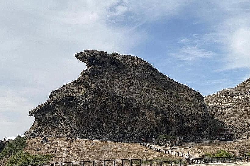
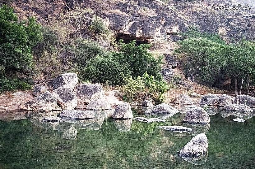
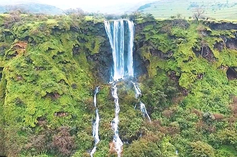
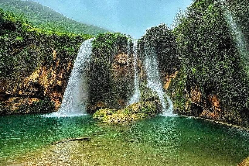
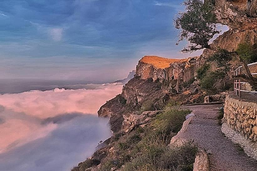
The sinkhole is a massive, irregularly shaped depression measuring approximately 1 kilometer in length and 750 meters in width, with a depth of 211 meters. Its volume is estimated at 90 million cubic meters. The interior features vertical limestone walls, talus slopes composed of fallen rock debris, and several large cave entrances visible on the cliff faces. During the wet season, seasonal waterfalls cascade over the rim, feeding a dense layer of green vegetation at the base.
Location & Access Logistics
Access is via the Salalah-Mirbat Road (Route 49), turning inland toward the Tawi Attair plateau. The drive from Salalah takes approximately 1 hour and 15 minutes. A graded gravel road leads from the main mountain highway to several viewing points along the southern and western rims. A 4WD vehicle is recommended for navigating the unpaved approach roads. No public transportation reaches this remote geological site.
Historical & Ecological Origin
Taiq Sinkhole is a karst feature formed through the collapse of a massive subterranean limestone chamber. It serves as the primary drainage point for Wadi Shahat and Wadi Darbat, where surface water disappears into an extensive underground cave system. Geologically, it is part of the Eocene limestone formation of the Jabal Samhan massif. Historically, it has been a significant site for speleological research since its formal documentation in the late 1990s.
Key Highlights & Activities
The primary activity is observing the scale of the chasm from the natural rock overlooks. Hiking is possible along the perimeter, though there are no formal trails and the cliff edges are unfenced. The site is a major destination for birdwatching, as the sheer walls provide nesting sites for several species of raptors and swifts. Photography is best suited to wide-angle lenses to capture the full breadth of the depression.
Infrastructure & Amenities
The site remains in a natural state with no formal infrastructure. There are no paved walkways, restrooms, shaded pavilions, or safety barriers. Visitors must be self-sufficient and bring their own water and supplies. The nearest services, including small shops and fuel, are located in the town of Tawi Attair, roughly 10 kilometers away. Cell phone signal (4G) is inconsistent and often drops near the rim.
Best Time to Visit
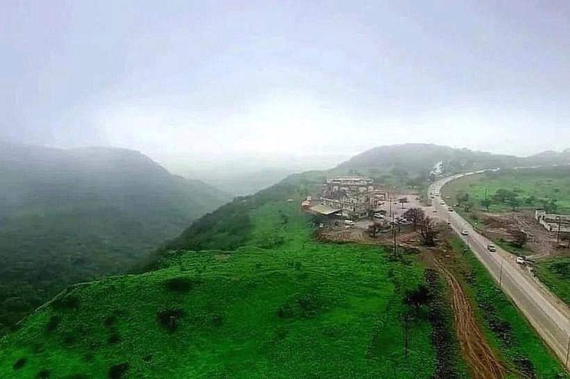
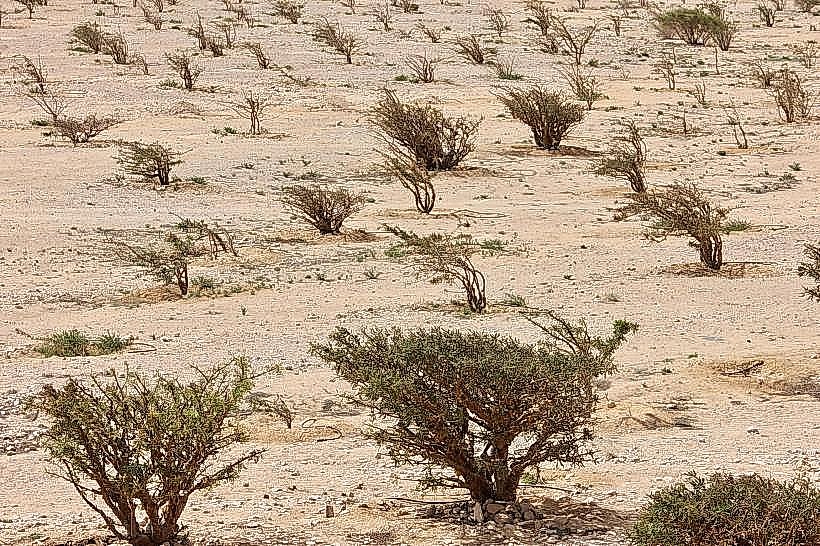
The optimal period for visibility is from October to April. During the Khareef (June to September), the sinkhole often fills with thick clouds, making it impossible to see the bottom, although the surrounding plateau becomes exceptionally green. For photography, mid-morning light provides the best illumination of the northern interior walls before the sun moves directly overhead.
Facts & Legends
A verified geological oddity is that Taiq is actually the junction of several wadis that disappear into its depths, flowing into a cave system that remains largely unexplored. Local lore suggests the sinkhole was created by a falling star in ancient times. A specific tip for visitors is to look for the "Taiq Cave" entrance on the western wall, which is one of the largest cave openings in the region, though it is only accessible to professional climbers.
Nearby Landmarks
Tawi Attair Sinkhole (10km West)
Jabal Samhan Viewpoint (15km Northeast)
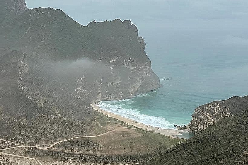
Wadi Darbat (22km Southwest)
Anti-Gravity Point (25km Southwest)