Landmark: Basse Casamance National Park
City: Ziguinchor
Country: Senegal
Continent: Africa
Basse Casamance National Park, Ziguinchor, Senegal, Africa
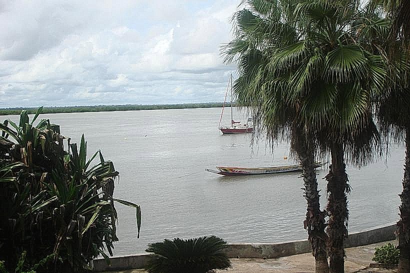
Basse Casamance National Park is a protected area situated in the extreme southwest of Senegal, near the village of Oussouye. It encompasses approximately 5,000 hectares of diverse ecosystems between the Casamance River and the Guinea-Bissau border.
Visual Characteristics
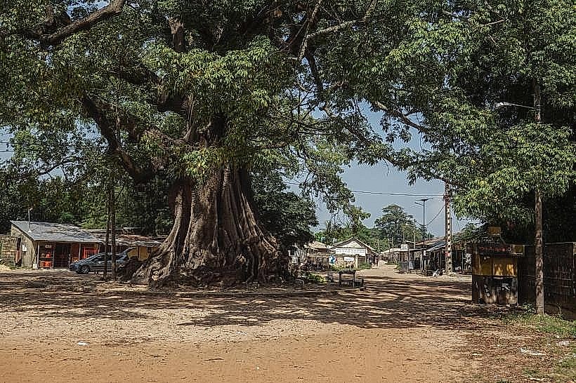
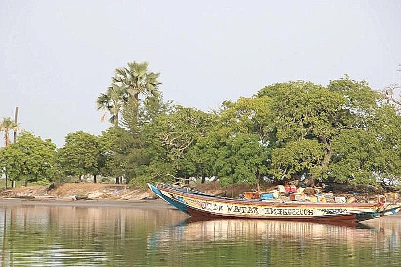
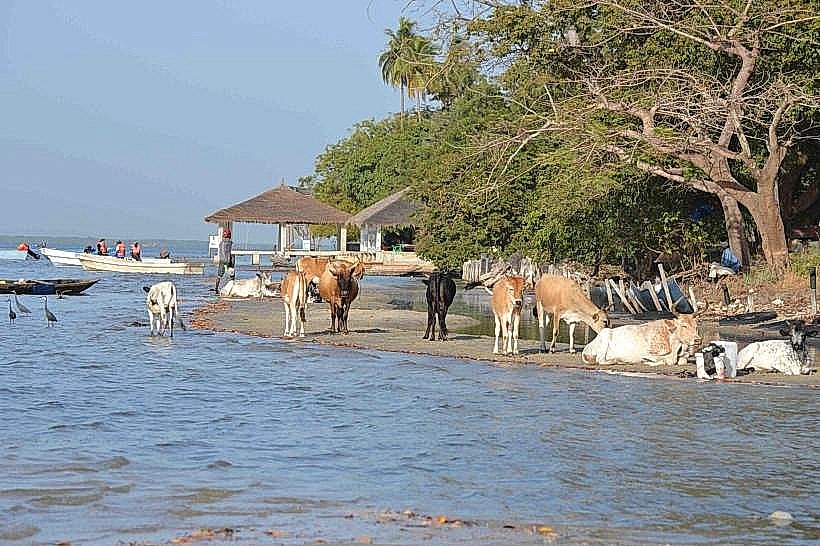
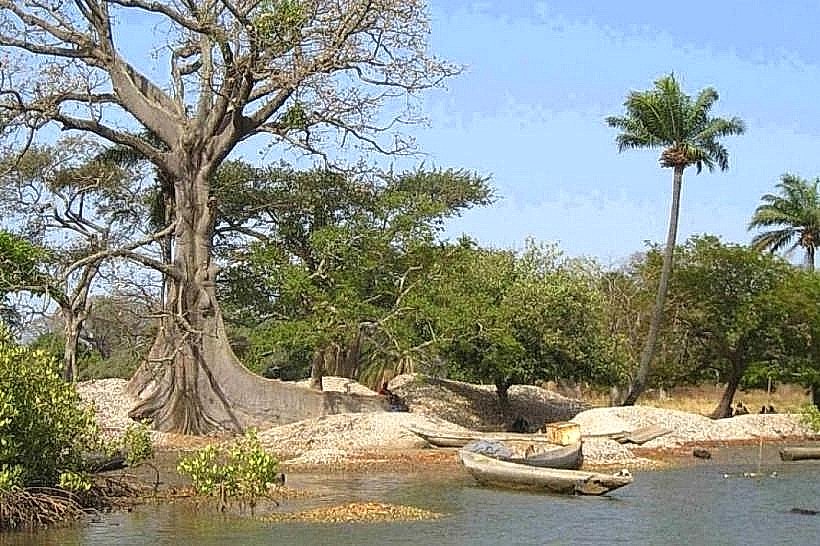
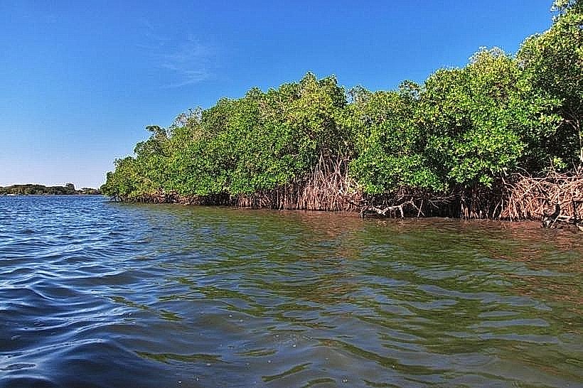
The park features a dense mosaic of primary tropical forest, mangrove swamps, and Sudanese-Guinean savannah. The forest canopy is dominated by giant kapok (bombax) and African mahogany trees, while the tidal areas consist of thick, tangled red and black mangrove roots in brackish water. Soil composition varies from dark, nutrient-rich forest humus to saline mudflats and sandy terrestrial patches.
Location & Access Logistics
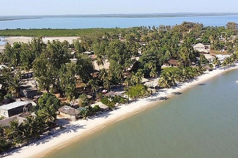
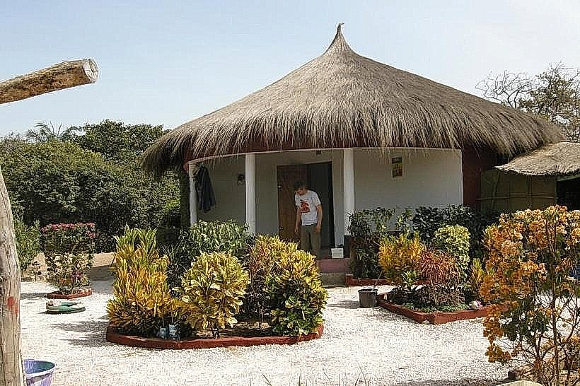
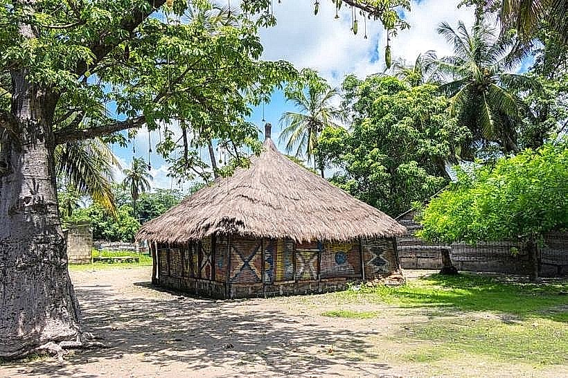
The primary entrance is located off the R580 road, approximately 70km west of Ziguinchor and 20km east of Cap Skirring. Access from Ziguinchor is typically by "sept-place" bush taxi or private 4x4 vehicle. Within the park, transit is limited to designated forest tracks and water channels; however, formal vehicle access has been restricted in recent years due to regional security protocols and conservation efforts.
Historical & Ecological Origin
Established in 1970, the park was created to preserve the last remaining primary forest in the Casamance region. It is ecologically classified as a transitional zone between the dry northern savannahs and the humid tropical forests of West Africa. The area serves as a critical biosphere for rare fauna, including the western red colobus monkey and the African forest buffalo.
Key Highlights & Activities
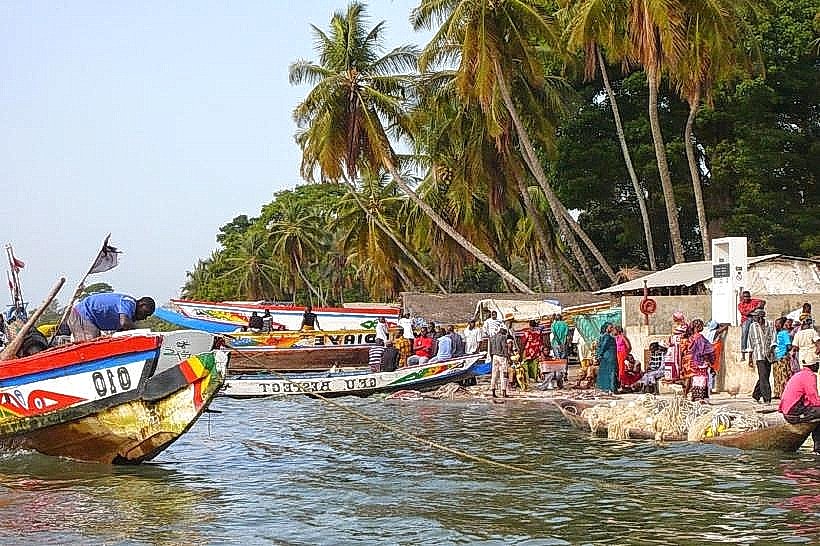
Birdwatching is the primary logistical activity, with over 200 species including the African fish eagle and various kingfishers. Guided trekking on established forest trails allows for the observation of monkeys and crocodiles. Pirogue tours are the only method for navigating the bolongs (saltwater creeks) to inspect the mangrove ecosystems and aquatic bird colonies.
Infrastructure & Amenities
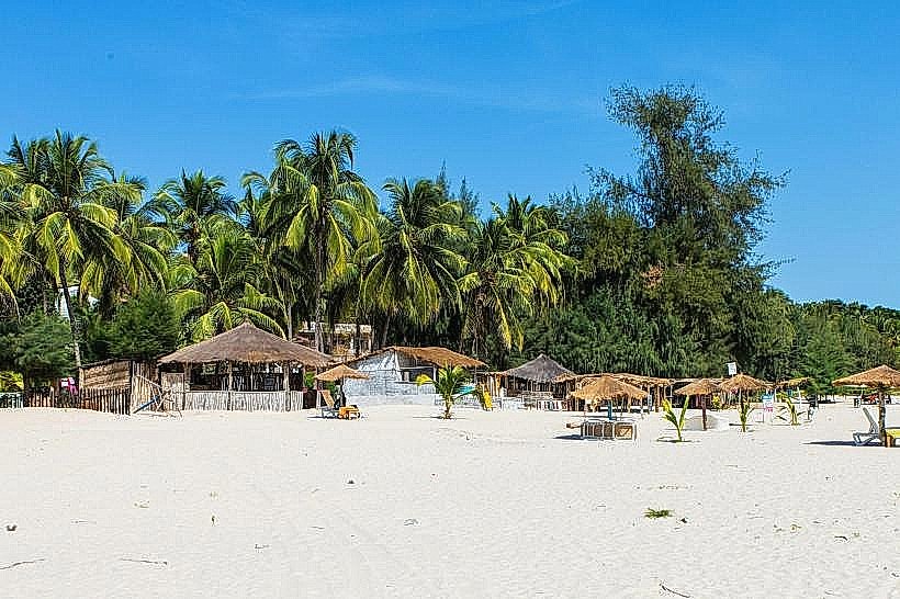
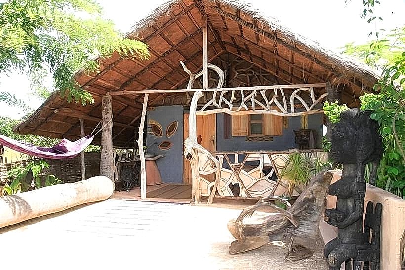
Infrastructure within the park boundaries is extremely limited. There are no operational restrooms, visitor centers, or food vendors currently active inside the protected zone. Shade is abundant under the forest canopy but non-existent on the mudflats. 4G cell phone signal is intermittent and drops significantly in the dense interior and southern sectors.
Best Time to Visit
The best months for wildlife observation and transit are December through April during the dry season. Photography is most effective in the early morning (07:00–09:00) when animal activity is high and the forest light is filtered. During the rainy season (July–September), many interior tracks become impassable due to flooding and heavy mud.
Facts & Legends
The park was historically a stronghold for the leopard (Panthera pardus), and while sightings are now exceptionally rare, local trackers still report pugmarks in the remote southern sectors. A specific "secret" for visitors is the hidden observation hide near the central forest clearing, which offers the highest probability of spotting the shy forest buffalo during the dry season.
Nearby Landmarks
Oussouye Royal Palace (10.0km North)
M'Lomp Case à Étages (15.0km Northwest)
Point of Saint-Georges (18.0km Northeast)
Kabrousse Border Post (25.0km Southwest)