Landmark: Kabrousse Beach
City: Ziguinchor
Country: Senegal
Continent: Africa
Kabrousse Beach, Ziguinchor, Senegal, Africa
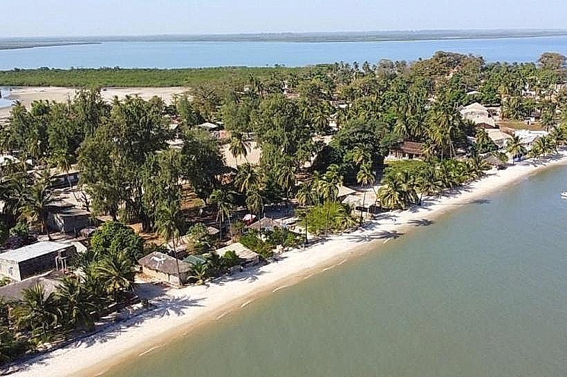
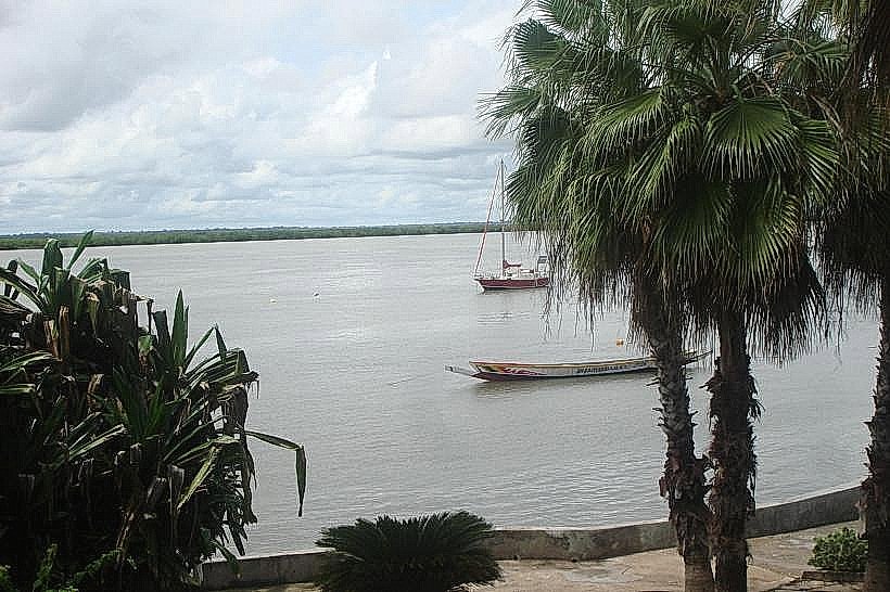
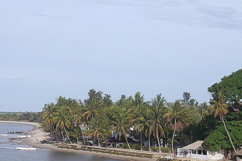
The Kabrousse Beach is a southern coastal extension of the Cap Skirring littoral zone, situated in the Casamance region of Senegal. It spans the area between the southern resort boundary and the international border with Guinea-Bissau.
Visual Characteristics
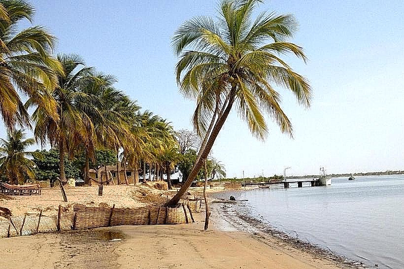
The beach is defined by an expansive, flat shoreline of fine light-colored sand and high maritime dunes. Vegetation consists primarily of dense clusters of coconut palms and casuarina trees that stabilize the upper beach zone. The Atlantic waters in this sector are characterized by a gradual shelf slope and moderate surf, with significant sections of the coast remaining free of permanent infrastructure or seawalls.
Location & Access Logistics
Access is primarily via unpaved sandy tracks branching off the R580 road through the village of Kabrousse. While the northern sections are reachable on foot from the Cap Skirring resort area, the southern reaches require a 4x4 vehicle or local motorcycle taxi due to deep sand. There are no formal parking facilities; vehicles utilize open sandy clearings near the dune entry points.
Historical & Ecological Origin
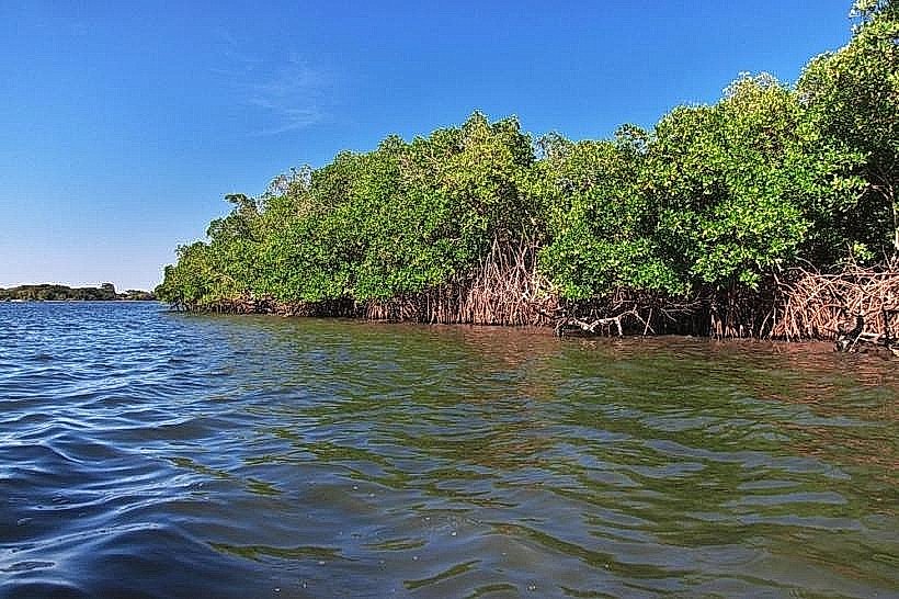
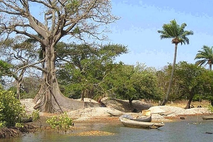
The area holds historical significance as the birthplace of Aline Sitoe Diatta, a leader of the Jola resistance against colonial rule. Ecologically, the beach is part of a preserved coastal ecosystem that includes seasonal nesting sites for sea turtles and a variety of migratory shorebirds. The geological composition is dominated by quaternary marine sands and occasional laterite outcrops near the southern inlets.
Key Highlights & Activities
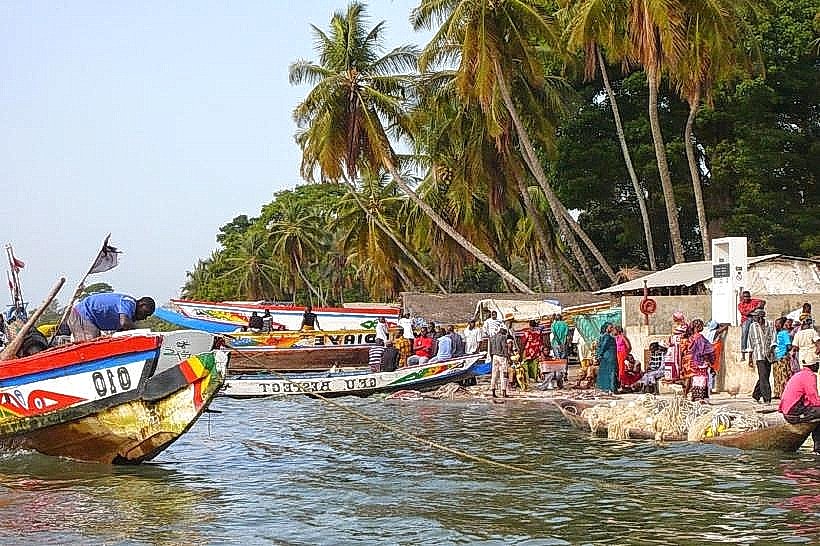
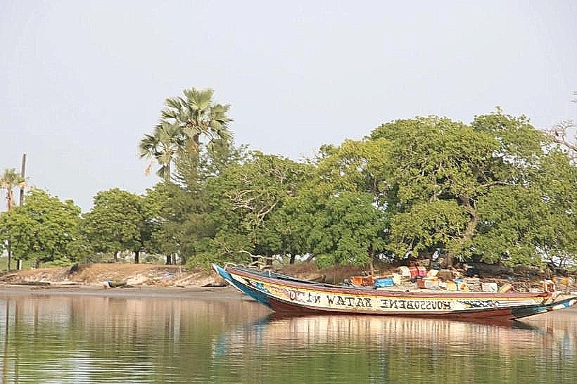
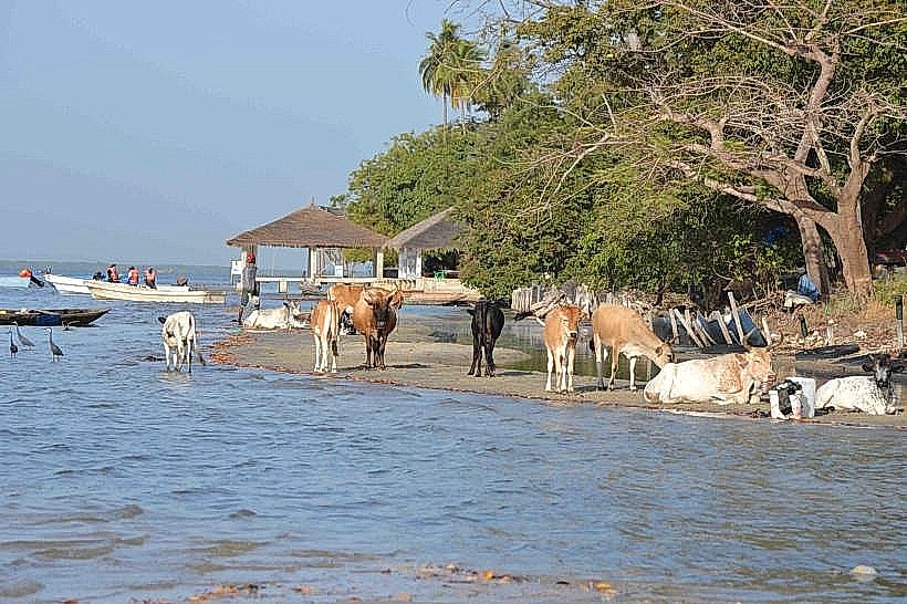
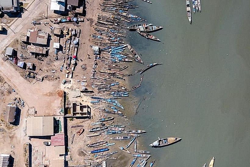
The firm, wide sands at low tide facilitate long-distance trekking, running, and mountain biking. Artisanal fishing is a primary local activity, with motorized pirogues launching directly from the beach. The lack of commercial density makes the area suitable for birdwatching and isolated swimming, though no lifeguard services are stationed in this sector.
Infrastructure & Amenities
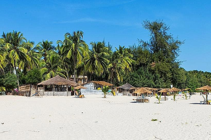
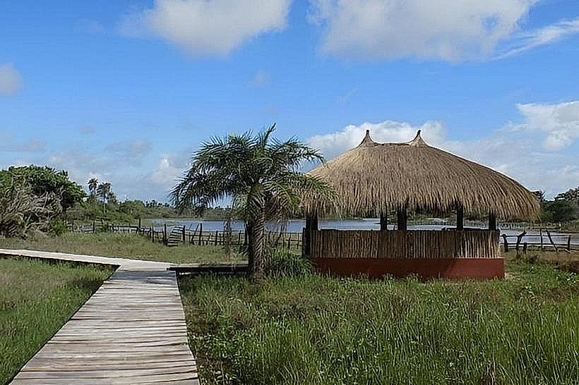
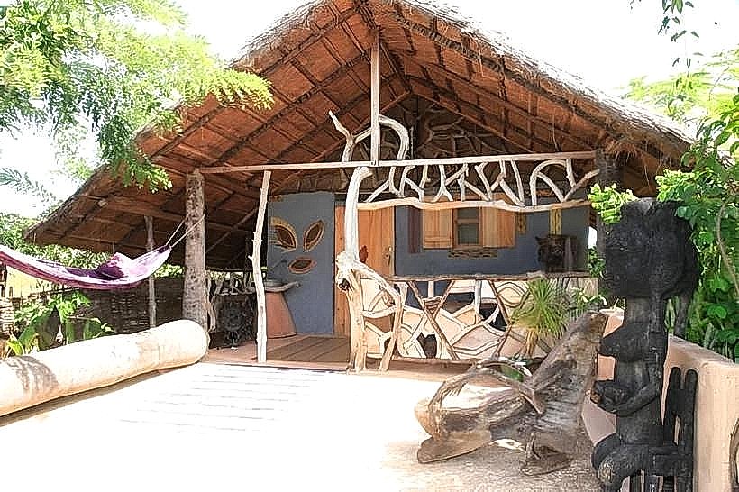
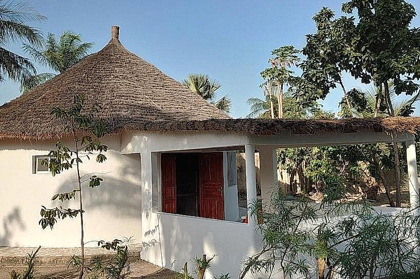
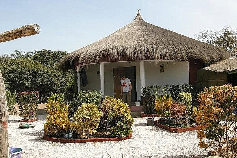
Infrastructure is minimal, consisting of a few small eco-lodges and seasonal juice bars constructed from bamboo and thatch. Public restrooms, showers, and paved promenades are non-existent. 4G cellular signal is generally available but weakens significantly as one moves south toward the border. Natural shade is limited to the palm line at the edge of the dunes.
Best Time to Visit
The dry season from November to May provides the most consistent weather and navigable access tracks. Low tide is essential for those wishing to walk the full length of the beach to the border, as high tide can reach the base of the dunes in certain sections. Late afternoon (16:30–18:30) is the optimal time for photography as the sun sets over the Atlantic.
Facts & Legends
A local tip for visitors is to locate the "Bolong de Kabrousse," a small tidal inlet that marks a traditional boundary and serves as a rich habitat for blue crabs. Local lore emphasizes the spiritual connection of the Kabrousse community to the sea, and it is customary to maintain a quiet demeanor when passing the traditional fishing shrines located near the dune line.
Nearby Landmarks
Club Med Cap Skirring (1.8km North)
Les Alizes Beach Resort (2.2km North)
Kabrousse Village (1.0km East)
Guinea-Bissau Border (3.2km South)