Landmark: Elinkine
City: Ziguinchor
Country: Senegal
Continent: Africa
Elinkine, Ziguinchor, Senegal, Africa
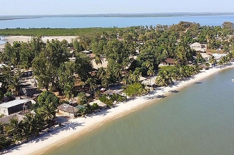
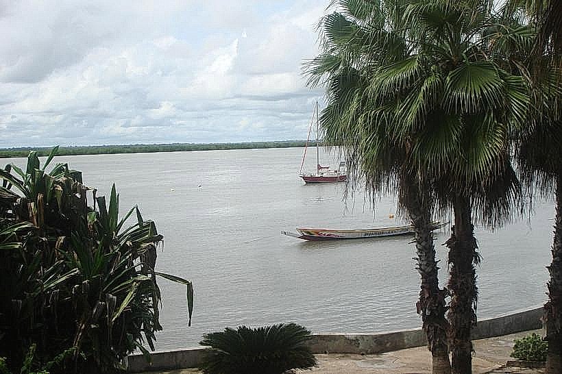
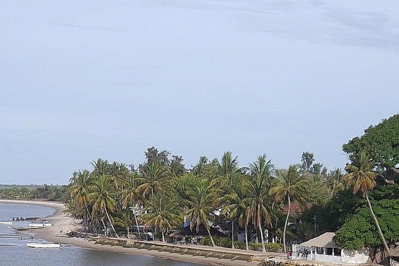
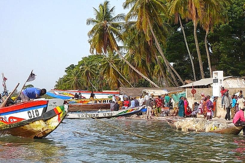
Elinkine is a coastal fishing village and transit hub situated on the southern bank of the Casamance River estuary in southwestern Senegal. It serves as the primary maritime gateway for transport between the mainland and the islands of the lower Casamance, specifically Carabane.
Visual Characteristics
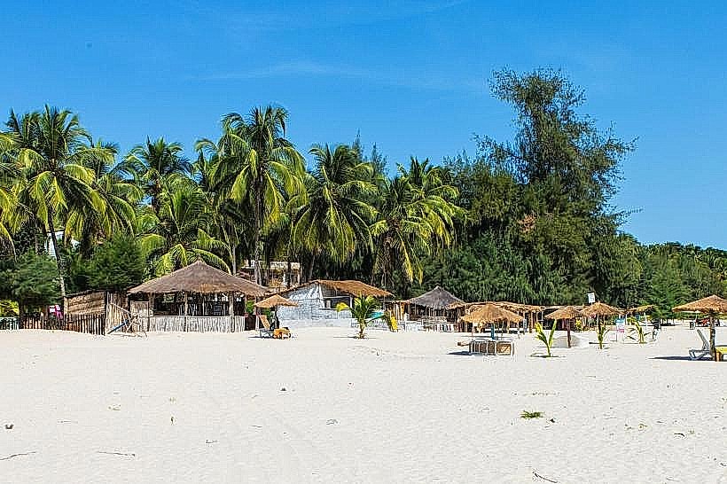
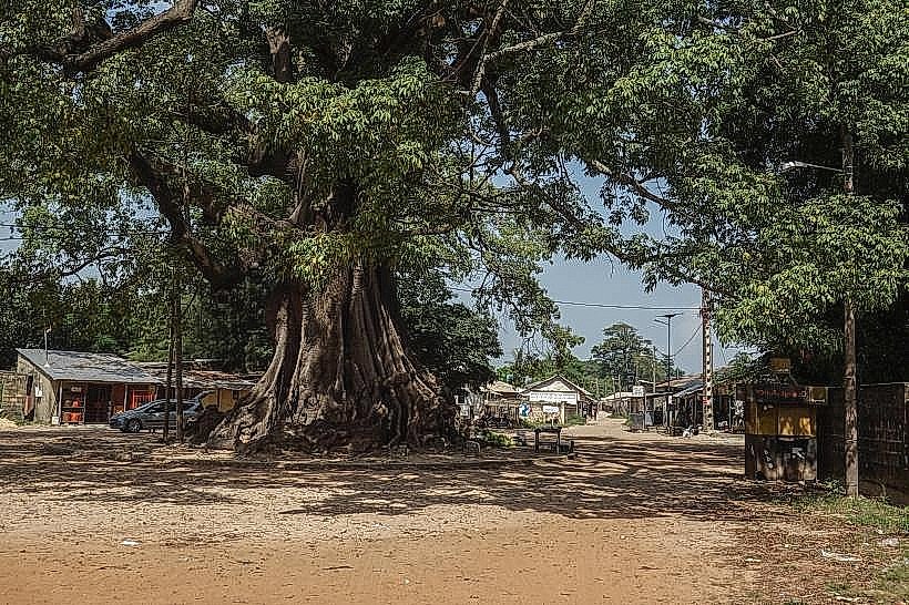
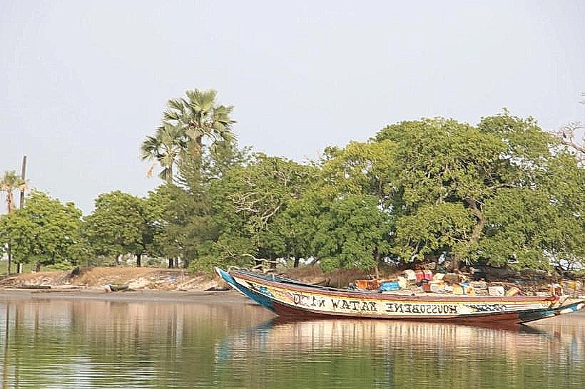
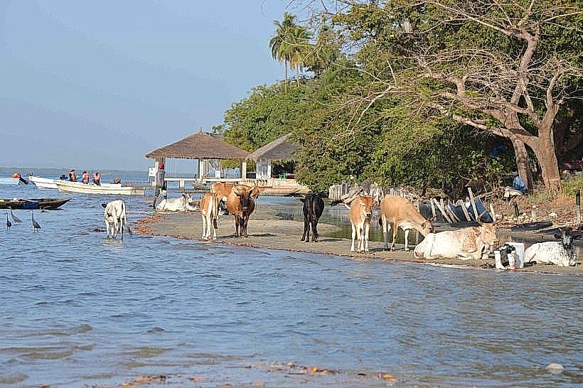
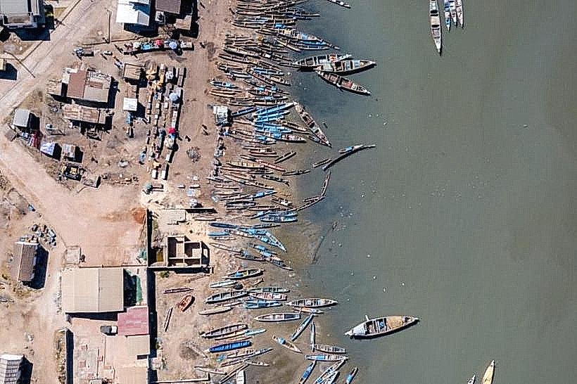
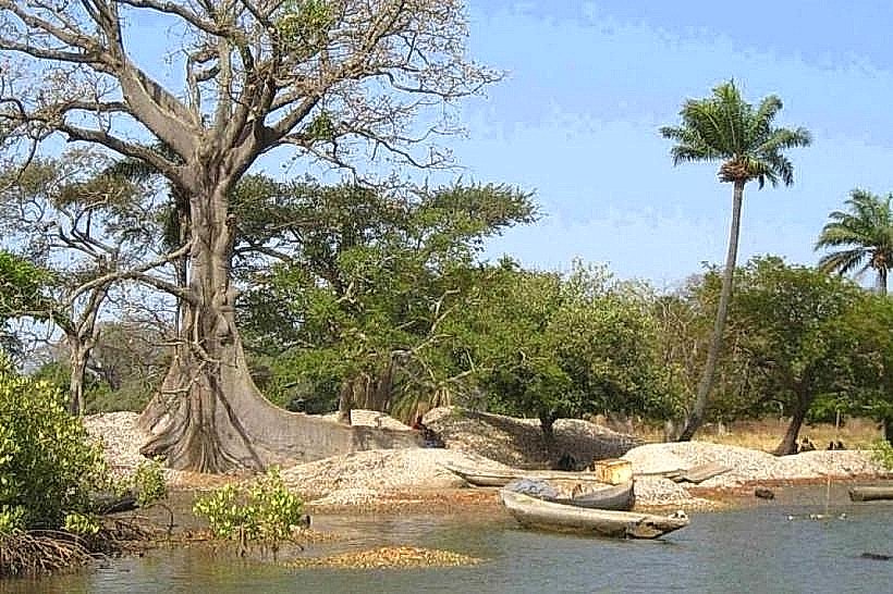
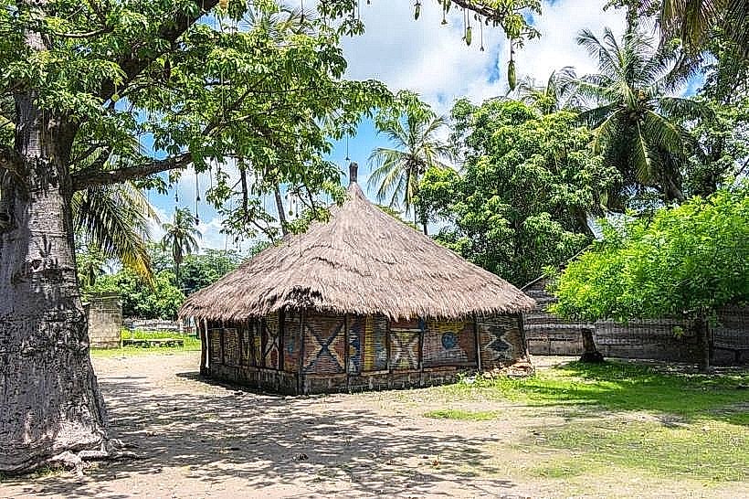
The settlement is characterized by a high-density waterfront lined with hundreds of brightly painted wooden pirogues and fish-drying racks. The architectural landscape consists of functional concrete structures, open-air warehouses, and salt-stained masonry along a muddy shoreline. Large heaps of discarded mollusk shells are frequently used as informal paving material for the sandy inland tracks.
Location & Access Logistics
The village is located at the terminus of the R580 road, approximately 55km west of Ziguinchor and 25km east of Cap Skirring. Access from Ziguinchor is via "sept-place" bush taxis which depart from the Gare Routière. There is a central dirt clearing used for vehicle parking near the main pier where motorized pirogues depart for Carabane Island and Nikine.
Historical & Ecological Origin
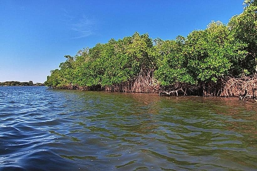
Elinkine developed as a strategic colonial and post-colonial trading post due to its deep-water access point on the river. Ecologically, it sits within a mangrove-dominated estuarine environment characterized by intertidal mudflats and Rhizophora mangle forests. The surrounding waters are a mix of riverine freshwater and Atlantic saltwater, supporting a high biomass of shellfish and tropical fish.
Key Highlights & Activities
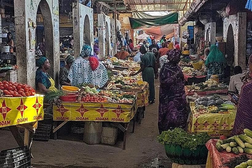
Observation of the artisanal fishing fleet's return in the late afternoon is the primary logistical activity. The village serves as the main departure point for guided pirogue excursions into the surrounding mangrove "bolongs" for birdwatching. Wholesale fish markets operate daily on the beach, where shark, barracuda, and shrimp are processed and salted for inland transport.
Infrastructure & Amenities
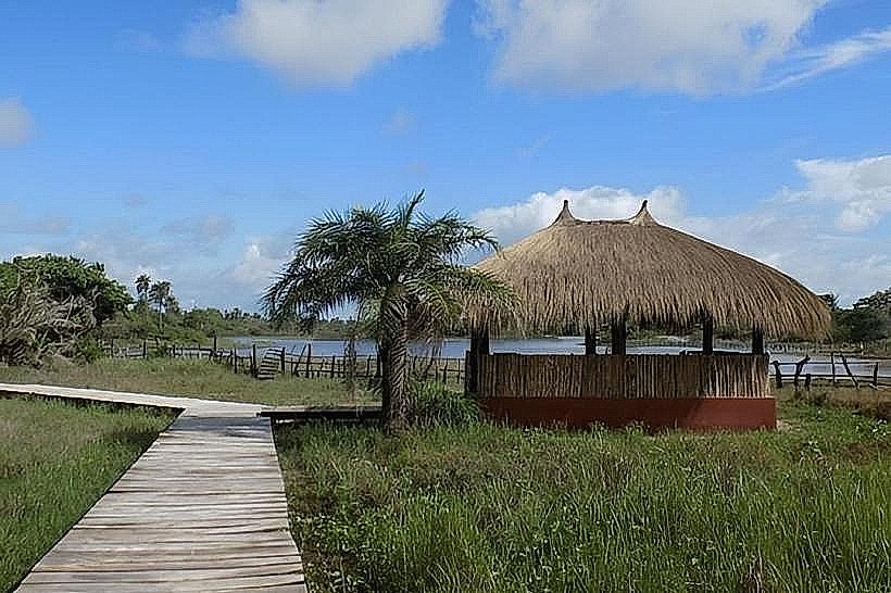
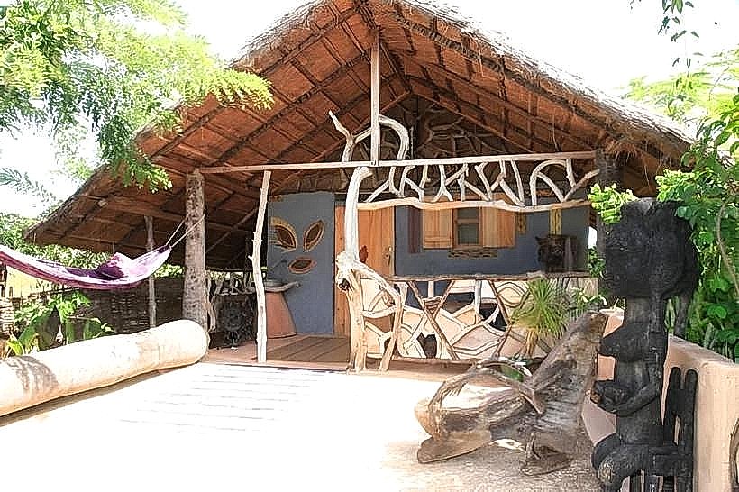
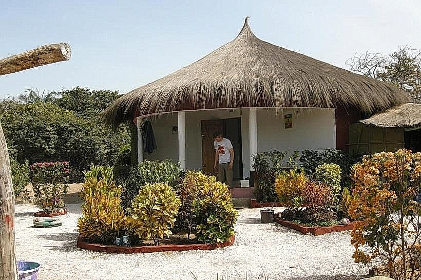
Infrastructure is basic, featuring several "campements" (guest houses) that offer localized food services and limited electricity via generators or solar panels. Public restrooms are located near the main pier for a small fee. 4G cell phone signal is consistently strong throughout the village. Shade is minimal along the waterfront but available under the thatched roofs of the fish-processing sheds.
Best Time to Visit
The most active period is from 15:00 to 17:00 when the fishing fleet unloads its catch. The dry season (November to May) provides the most reliable road access and lower humidity. Photography is best in the late afternoon for capturing the vibrant colors of the pirogues against the river; high tide is preferable for easier boat departures and cleaner shoreline views.
Facts & Legends
A unique local tip for visitors is to locate the "Pirogue Sculptors" on the village outskirts, who carve massive river vessels from single trunks of Kapok or Iroko trees using traditional hand adzes. The village is also a known center for the "Kumpo" masked tradition, though performances are typically restricted to specific communal festivals rather than tourist displays.
Nearby Landmarks
Carabane Island (5.2km West)
M'Lomp Case à Étages (12.0km East)
Oussouye (18.0km Southeast)
Nikine Village (8.0km Northwest)