Landmark: Casamance River
City: Ziguinchor
Country: Senegal
Continent: Africa
Casamance River, Ziguinchor, Senegal, Africa
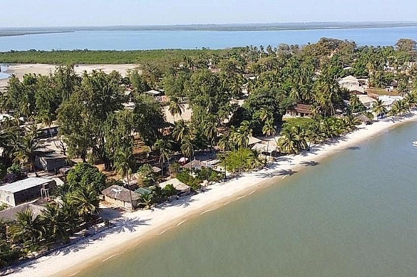
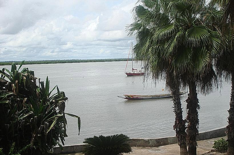
The Casamance River is a major 320km waterway located in southwestern Senegal, flowing from the inland plateau of Upper Casamance to the Atlantic Ocean. It serves as the primary geographical and economic artery for the Ziguinchor and Kolda regions, effectively separating the southern Casamance territory from the rest of Senegal via the Gambian enclave.
Visual Characteristics
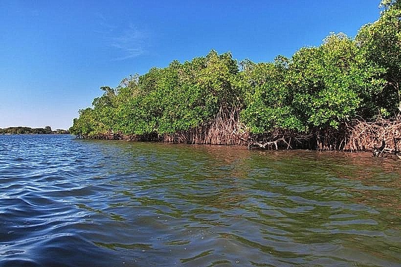
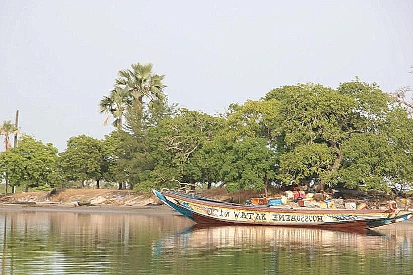
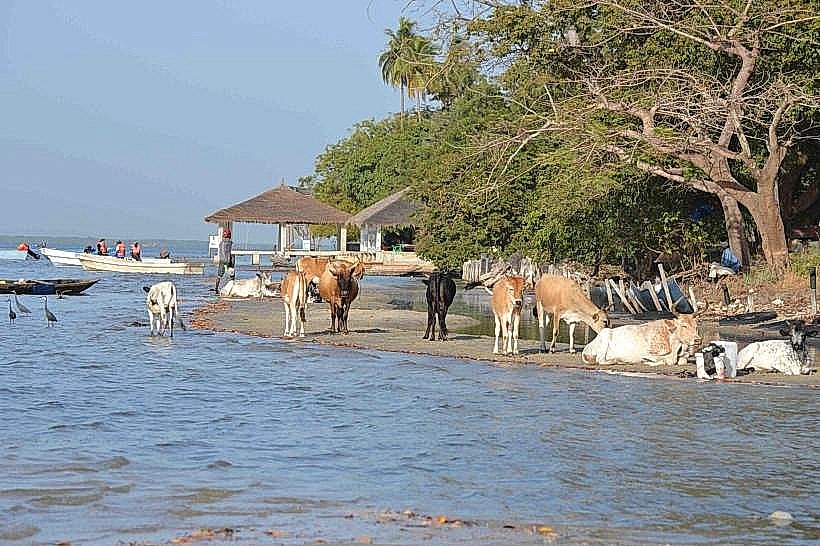
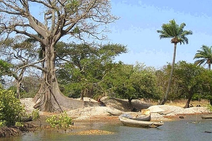
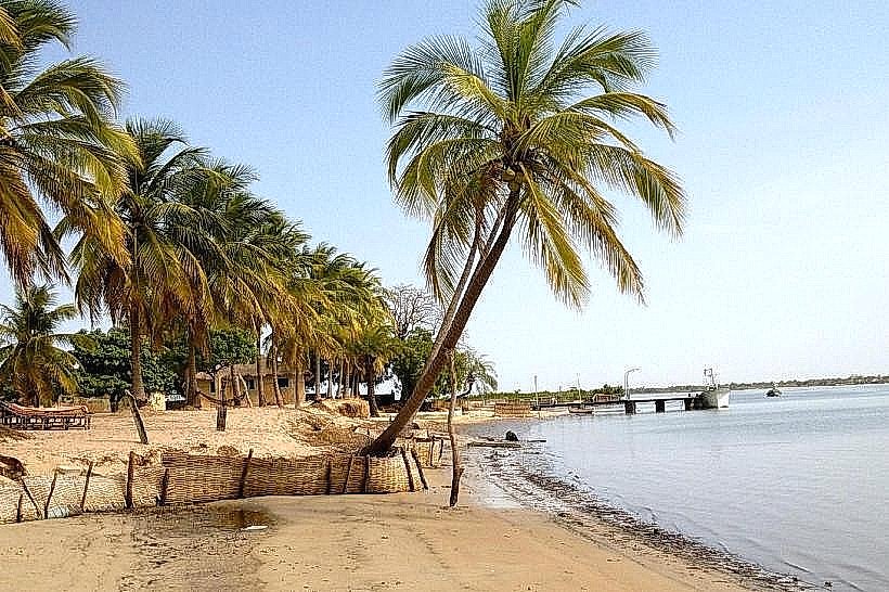
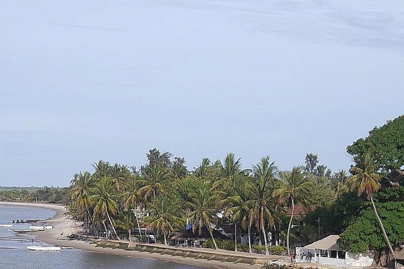
The river is characterized by a wide, slow-moving main channel that transitions from deep muddy brown in the upper reaches to a brackish, silty green near the estuary. The banks are dominated by dense, tangled red and black mangrove forests (Rhizophora) and vast intertidal mudflats. In the lower sections, the river widens significantly, reaching widths of up to 4km, punctuated by numerous low-lying alluvial islands and narrow, winding saltwater creeks known as bolongs.
Location & Access Logistics
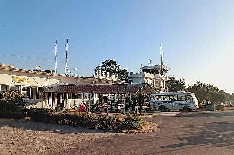
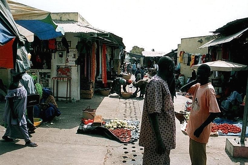
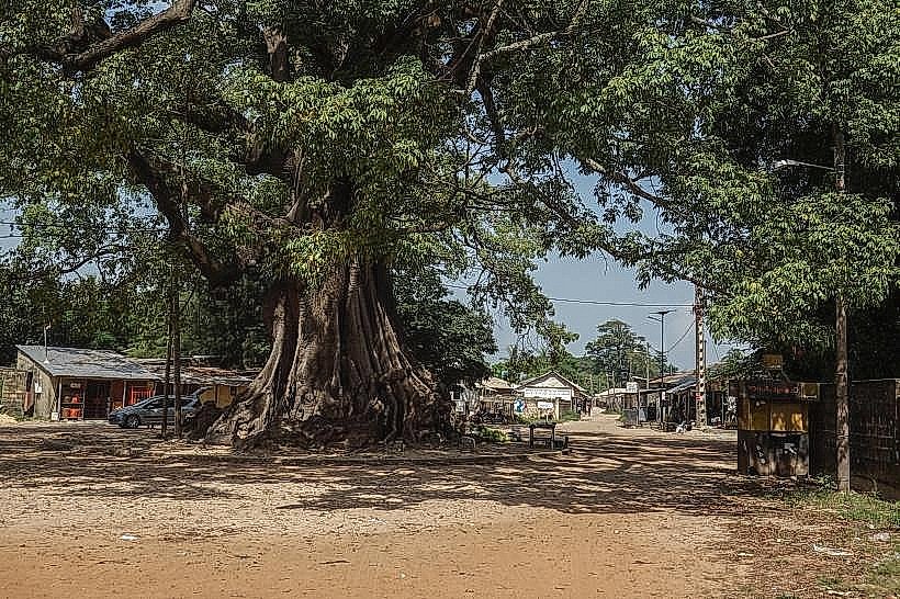
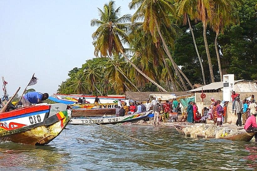
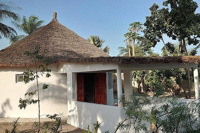
The river is accessible from the regional capital, Ziguinchor, which sits on its southern bank, and via various coastal points like Elinkine and Kafountine. The N4 and N5 highways provide road access to bridge crossings at Ziguinchor and Kolda. Maritime transport is facilitated by the Aline Sitoe Diatta ferry, which navigates the river from the Atlantic to the Ziguinchor Port, and by a network of motorized wooden pirogues that serve as the primary transit for island communities.
Historical & Ecological Origin
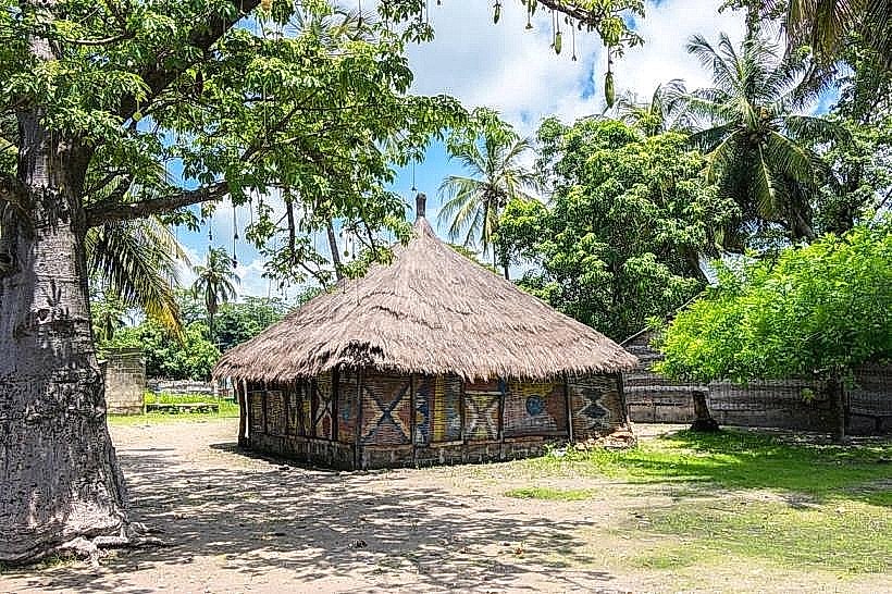
The Casamance is a tropical river system primarily fed by seasonal rainfall rather than glacial melt. Historically, it served as a vital corridor for Portuguese and later French colonial traders establishing outposts for wax, ivory, and slaves in the 17th through 19th centuries. Ecologically, it is a high-biodiversity estuarine environment where saltwater intrusion extends over 100km inland, supporting complex mangrove ecosystems and serving as a breeding ground for Atlantic fish species.
Key Highlights & Activities
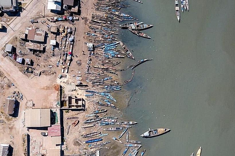
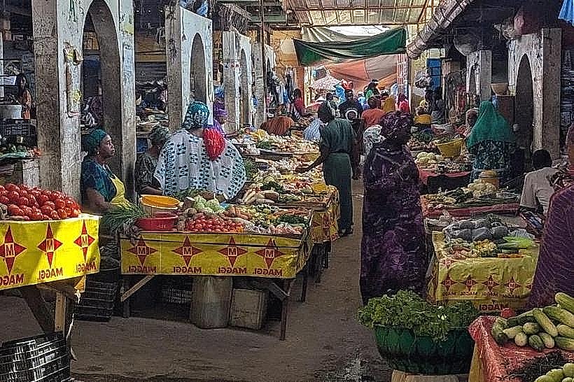
Commercial and artisanal fishing is the dominant activity, with large fleets of pirogues harvesting shrimp, barracuda, and oysters. Birdwatching is highly productive in the mangrove bolongs, where species such as the African fish eagle and various herons are common. Boat excursions from Ziguinchor or Elinkine allow for the observation of West African manatees and Atlantic humpback dolphins in the lower estuary.
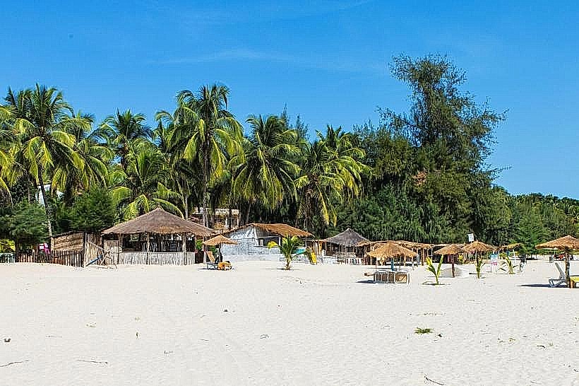
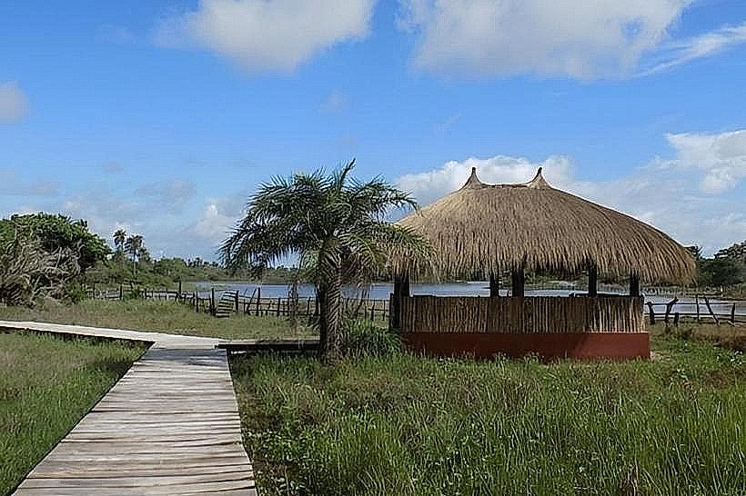
Infrastructure & Amenities
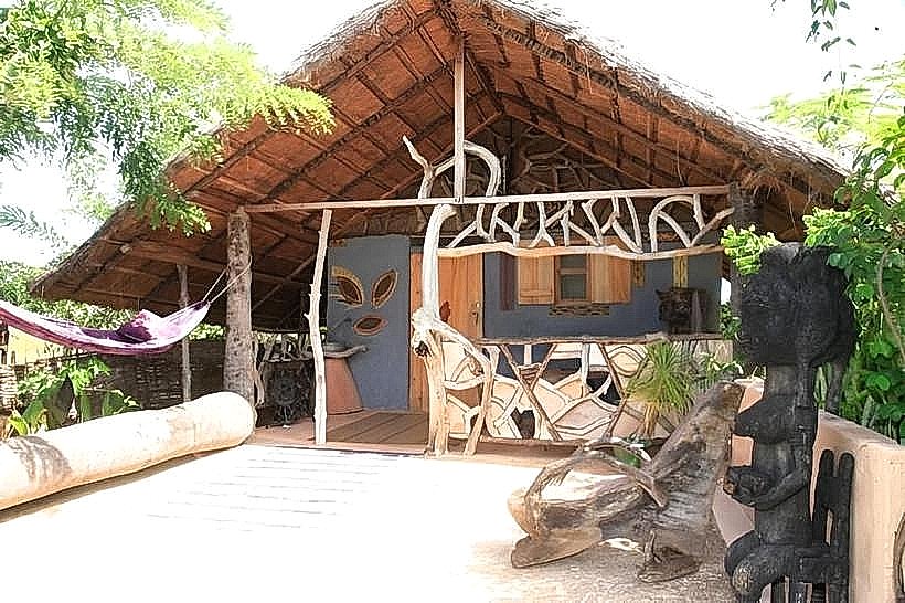
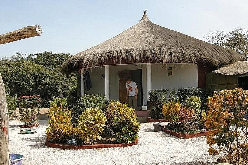
Infrastructure is concentrated in the port cities of Ziguinchor and Kolda, which offer concrete piers, fuel stations, and repair yards. Along the rural banks, infrastructure is minimal, consisting of informal wooden docks and mud landings. 4G and 5G cell signals are strong near urban centers but become intermittent in the deep mangrove channels. There are no public restrooms or food vendors directly on the river; services are restricted to departure points and riverside hotels.
Best Time to Visit
The dry season from November to May is optimal for navigation as water levels are stable and the risk of sudden tropical storms is low. For photography, the golden hour (one hour before sunset) provides the best lighting to capture the reflection of the mangroves on the water. High tide is logistically essential for smaller boats to enter the shallow bolongs and for larger vessels to dock at the Ziguinchor pier safely.
Facts & Legends
Local Jola and Mandinka lore suggests the river is home to powerful water spirits (mami wata) that protect the fish stocks and require offerings from those who navigate the deeper channels. A verified historical oddity is that the river's salinity levels can actually increase as one moves inland during the late dry season due to high evaporation rates and low freshwater inflow, a phenomenon known as an "inverse estuary."
Nearby Landmarks
Ziguinchor Port (0.1km South - central)
Carabane Island (0.5km North - estuary)
Point of Saint-Georges (0.2km South - mid-river)
Basse Casamance National Park (5.0km South - lower river)