Landmark: Ourong Island
City: Ziguinchor
Country: Senegal
Continent: Africa
Ourong Island, Ziguinchor, Senegal, Africa
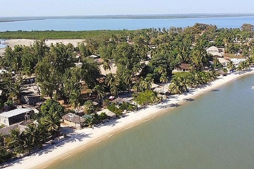
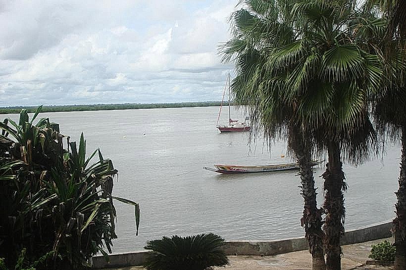
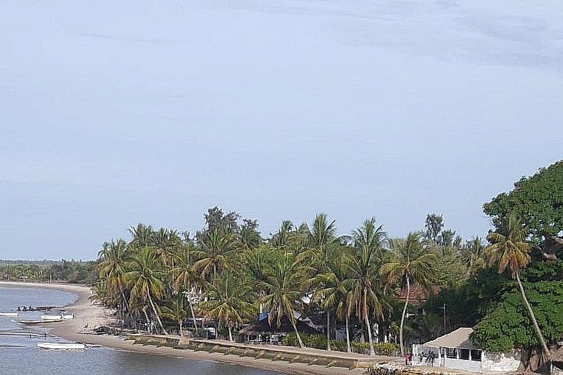
Nioumoune Island's southern neighbor, Ourong Island, is a remote estuarine landmass located within the mangrove networks of the lower Casamance River. It is situated in the Oussouye department, approximately 15km northwest of the town of Oussouye and accessible only by water.
Visual Characteristics
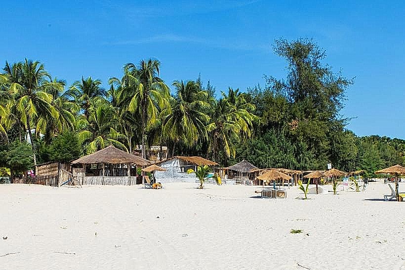
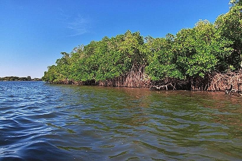
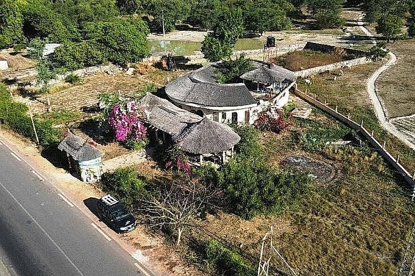
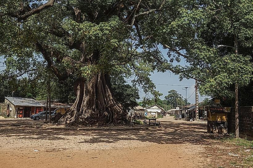
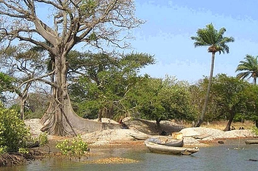
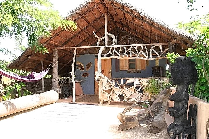
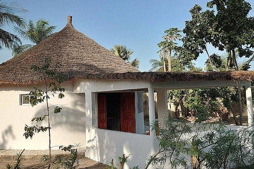
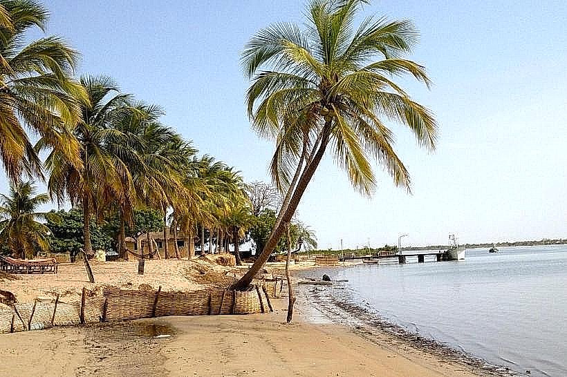
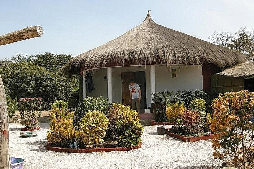
The island is characterized by a dense interior of oil palms and ancient baobabs surrounded by a vast perimeter of red and black mangroves. The architectural style consists of traditional Jola dwellings made of sun-dried mud bricks with high, steeply pitched thatched roofs. During low tide, extensive mudflats are exposed, revealing a complex network of narrow tidal channels and sandy footpaths that connect the village clusters.
Location & Access Logistics
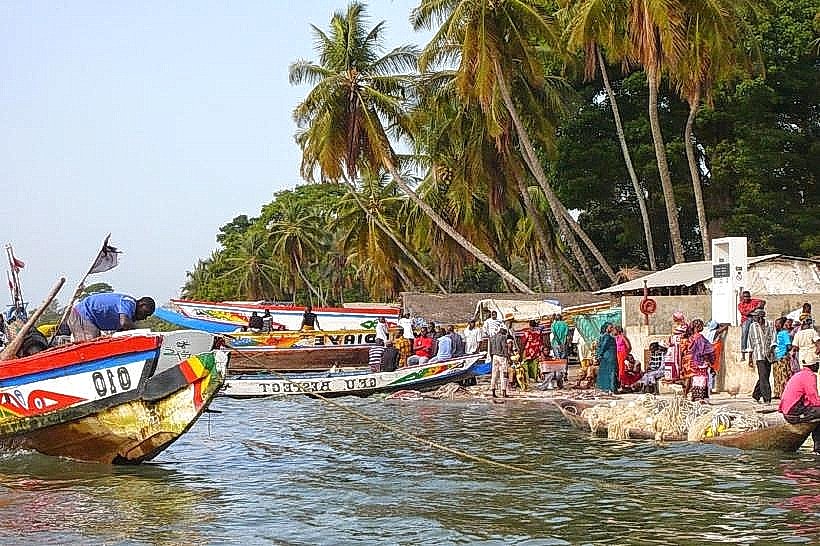
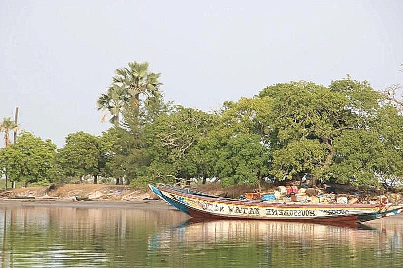
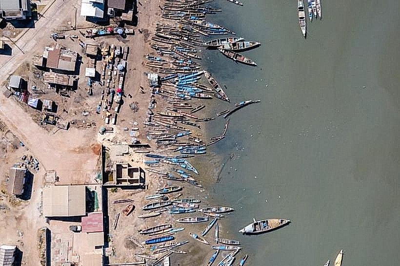
Access is strictly via motorized pirogue from the docks at Elinkine (approx. 45 minutes) or Ziguinchor (approx. 2.5 hours). There are no roads or motorized vehicles on the island; all transit is conducted on foot. Visitors typically coordinate transport through local guides or eco-lodges, as scheduled public water transport is irregular.
Historical & Ecological Origin
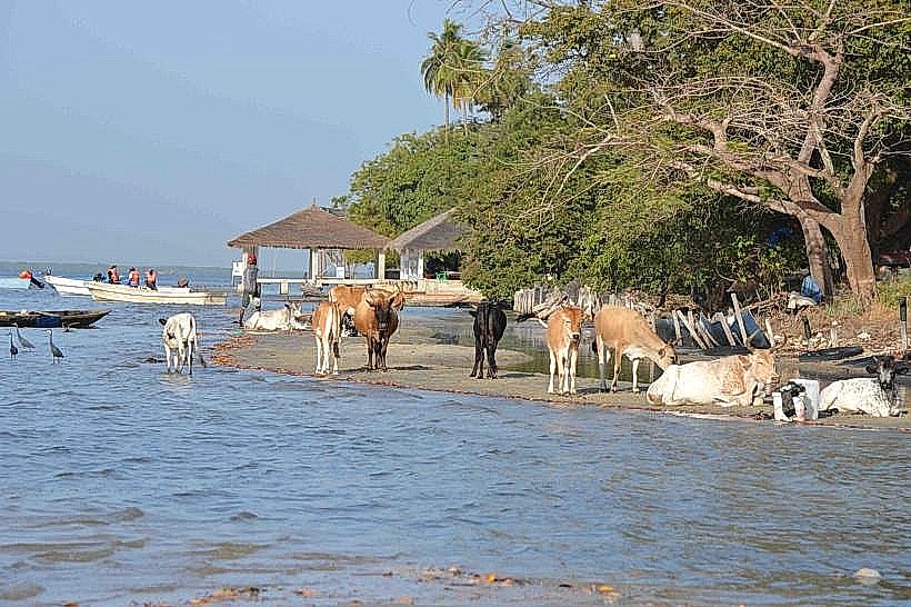
Ourong is a traditional Jola settlement where ancestral customs and social structures remain central to daily life. Ecologically, it is an alluvial island formed by river sediment and stabilized by the root systems of the mangrove forest. The surrounding waters are a critical habitat for various species of West African mollusks and crustacean populations, which form the basis of the local economy.
Key Highlights & Activities
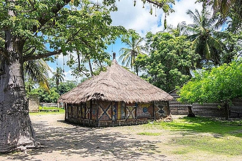
Guided walking tours of the village quarters focus on the traditional "cases à impluvium" and the communal palm wine extraction process. Birdwatching is a primary activity in the surrounding bolongs, where kingfishers and herons are abundant. Visitors can also observe the artisanal collection of oysters from mangrove roots, a task traditionally performed by the island's women during the dry season.
Infrastructure & Amenities
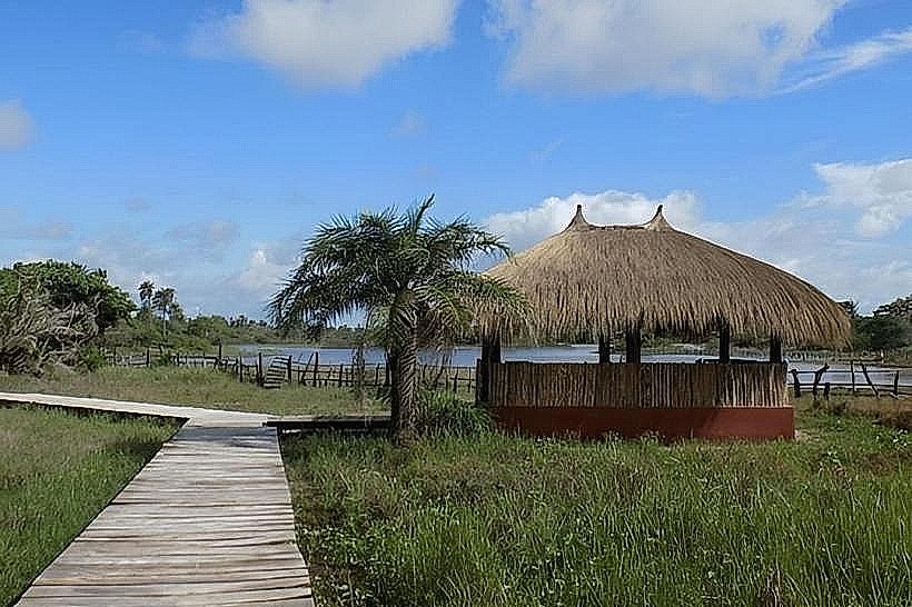
Infrastructure is minimal, with no connection to the national electricity grid; power is limited to individual solar panels. There are no ATMs, medical clinics, or commercial shops on the island. 4G cell phone signal is generally weak and inconsistent. A few small community-run campements provide basic lodging and meals consisting of local rice and fish.
Best Time to Visit
The dry season from December to May is the most suitable time for travel to avoid the heavy equatorial rains that can make boat transit difficult. High tide is logistically required for pirogues to reach the main landing points, while low tide is the best time for observing the mangrove fauna. Early morning offers the most favorable conditions for navigating the river channels.
Facts & Legends
The island is known for its "Sacred Groves," which are off-limits to outsiders and serve as the sites for traditional Jola initiation ceremonies. Local lore dictates that the island is protected by spirits of the water and forest, and specific protocols must be followed by visitors entering the village for the first time, such as greeting the village elders before exploring the interior.
Nearby Landmarks
Carabane Island (10.0km West)
Elinkine (8.5km South)
Point of Saint-Georges (14.0km East)
Nioumoune Island (7.0km North)