Landmark: Point Saint-Georges
City: Ziguinchor
Country: Senegal
Continent: Africa
Point Saint-Georges, Ziguinchor, Senegal, Africa
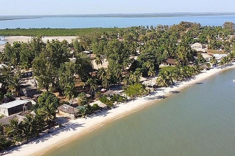
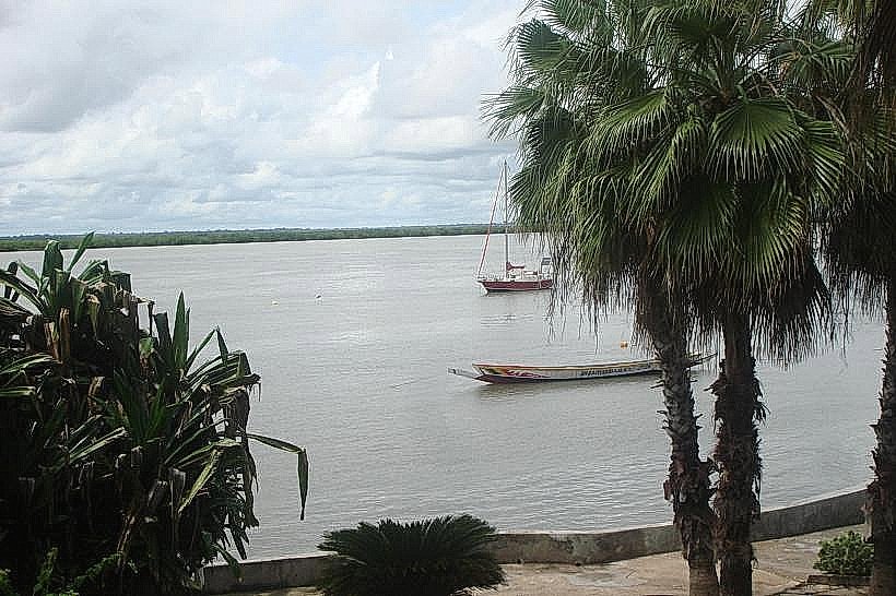
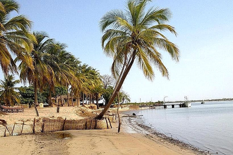
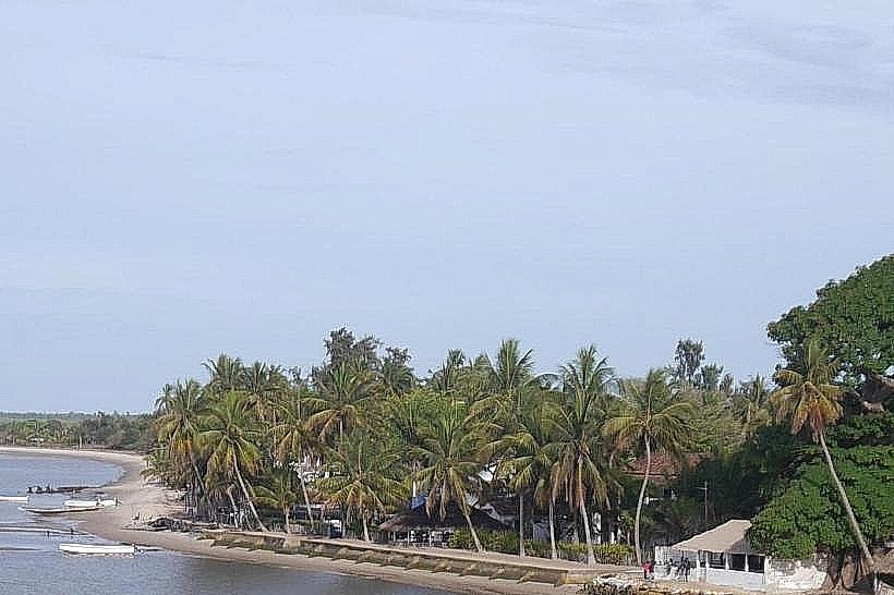
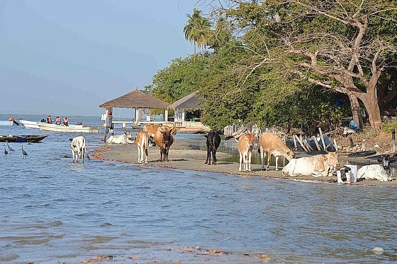
The Point of Saint-Georges is a coastal village and geographic landmark situated on the southern bank of the Casamance River in southwestern Senegal. It is positioned at a strategic bend in the river, approximately 40km west of Ziguinchor, within the administrative department of Oussouye.
Visual Characteristics
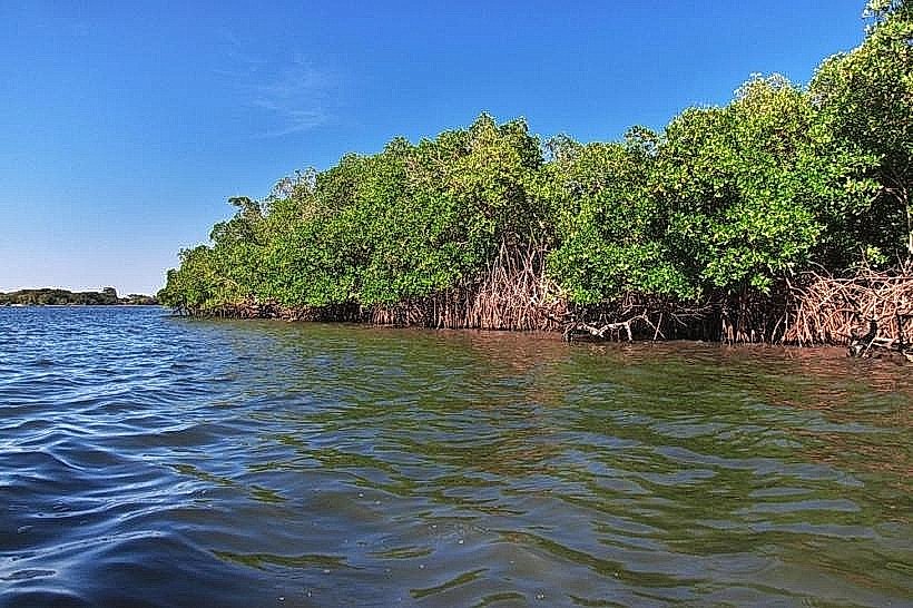
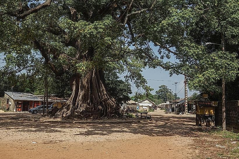
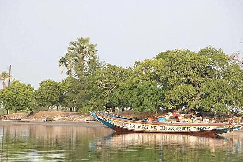
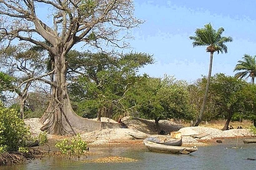
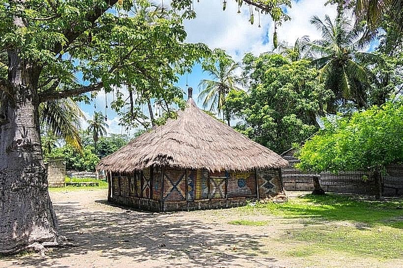
the landscape features a transition from sandy riverbanks to dense, high-canopy tropical forest and expansive mangrove swamps. The village itself consists of traditional mud-brick dwellings and small concrete structures interspersed with large baobab and kapok trees. The river at this point is several kilometers wide, with a deep-water channel that brings Atlantic currents close to the shore, resulting in brackish, dark-green water.
Location & Access Logistics
Access is primarily via a 7km unpaved sandy track branching off the R580 road near the village of Kadiamor. The track requires a 4x4 vehicle during the rainy season but is navigable by motorcycle or sturdy car in the dry season. Alternatively, the site is reachable by motorized pirogue from Ziguinchor (approx. 1.5 hours) or Elinkine (approx. 45 minutes). There is no formal parking infrastructure; vehicles park in the open sandy area at the village entrance.
Historical & Ecological Origin
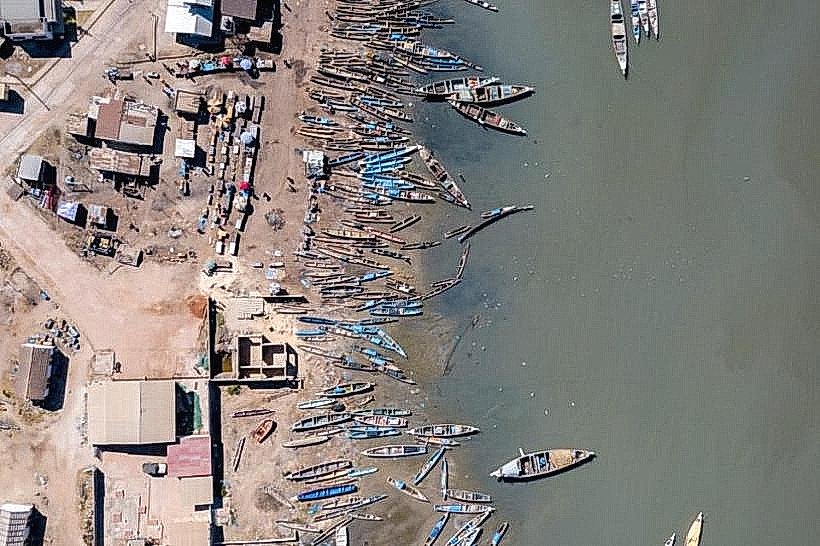
The site is ecologically significant as one of the few places in West Africa where the West African Manatee (Trichechus senegalensis) can be observed from the shore due to the proximity of the deep-water channel and underwater freshwater springs. Historically, it has served as a Jola fishing community and a strategic observation point for maritime traffic navigating between the Atlantic and the port of Ziguinchor.
Key Highlights & Activities
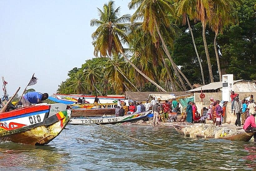
Observation of manatees from the wooden viewing platform at the river's edge is the primary activity, typically occurring at high tide. Guided forest walks are available to view the "sacred" giant kapok trees and local birdlife, including the African fish eagle. Fishing trips and pirogue excursions into the nearby mangrove bolongs depart from the main beach area.
Infrastructure & Amenities
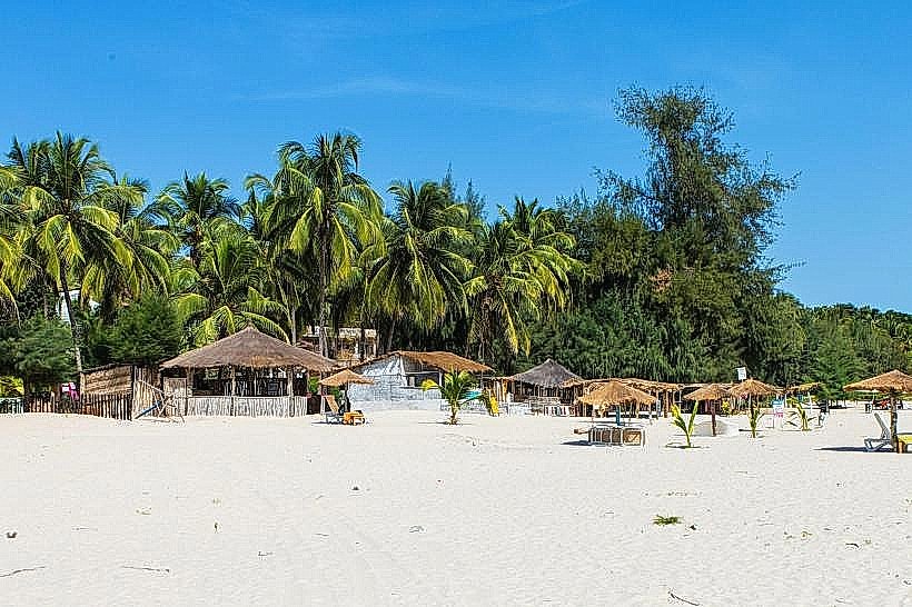
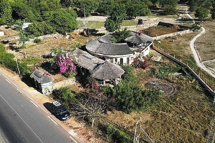
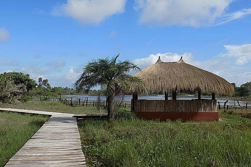
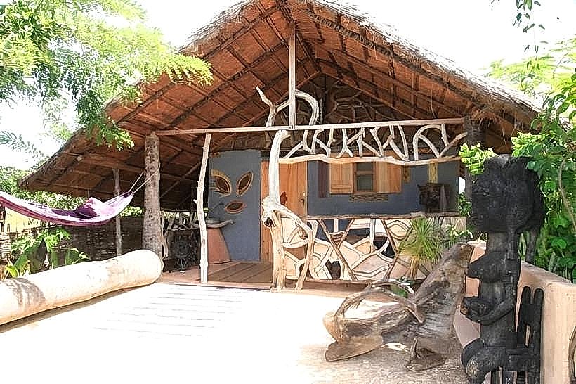
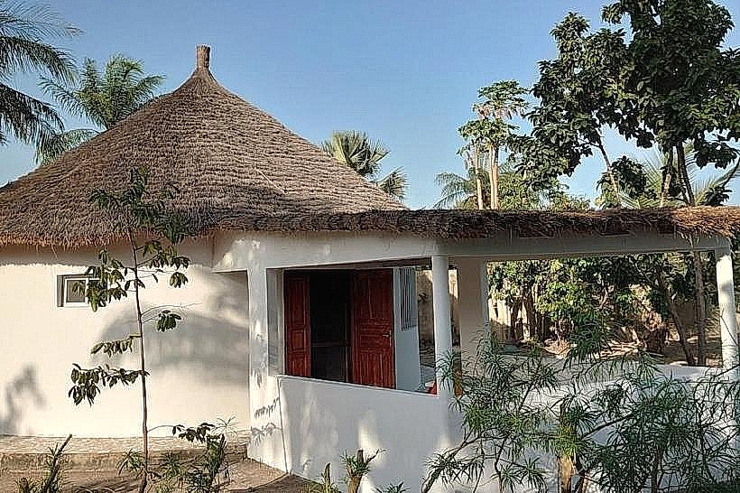
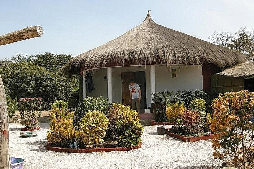
Infrastructure is limited to a few eco-friendly "campements" (guest houses) that provide basic lodging and traditional meals. There are no ATMs or formal medical facilities; public restrooms are restricted to the guest houses. 4G cell phone signal is generally available but can be inconsistent near the forest interior. Natural shade is abundant under the large trees lining the riverbank.
Best Time to Visit
The best time for manatee sightings is during high tide in the dry season (December to May) when river clarity is higher. For photography, the early morning (07:00–09:00) offers the best light over the river and the highest bird activity. Visitors should avoid the peak of the rainy season (August–September) when the access track from the main road can become impassable for standard vehicles.
Facts & Legends
According to local Jola tradition, the manatees are protected spirits of the river, and harming them is strictly forbidden by customary law. A specific tip for visitors is to climb the observation tower at the "Campement Le Lamantin" for a 360-degree view of the river's curve and the distant mangroves of the northern bank.
Nearby Landmarks
Oussouye Royal Palace (12.0km Southwest)
Carabane Island (15.0km West via water)
Basse Casamance National Park (18.0km Southwest)
M'Lomp Case à Étages (10.0km West)