Landmark: Carabane Island
City: Ziguinchor
Country: Senegal
Continent: Africa
Carabane Island, Ziguinchor, Senegal, Africa
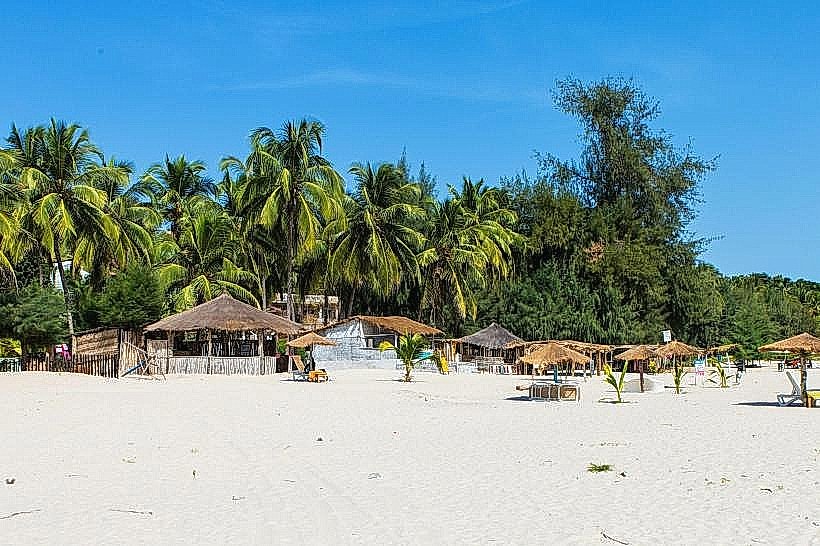
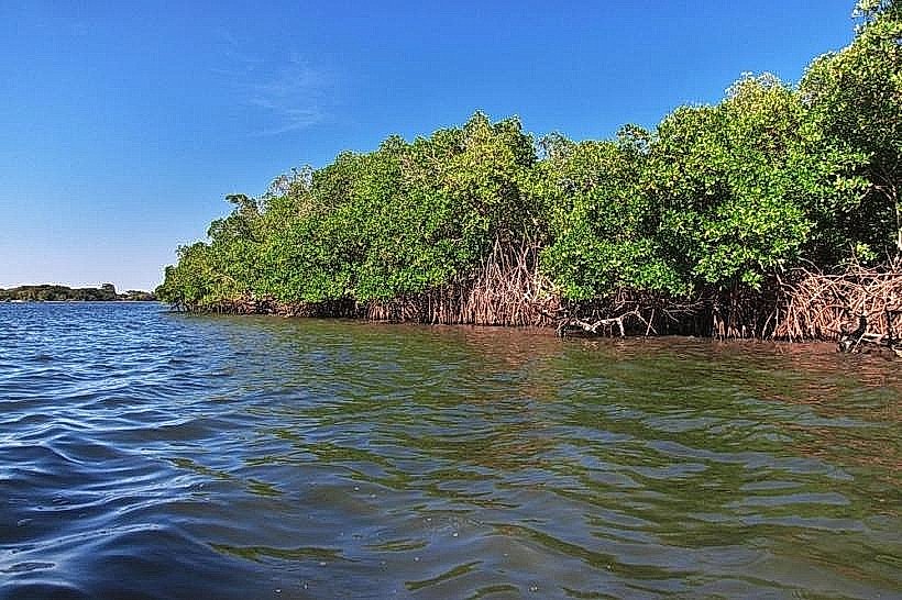
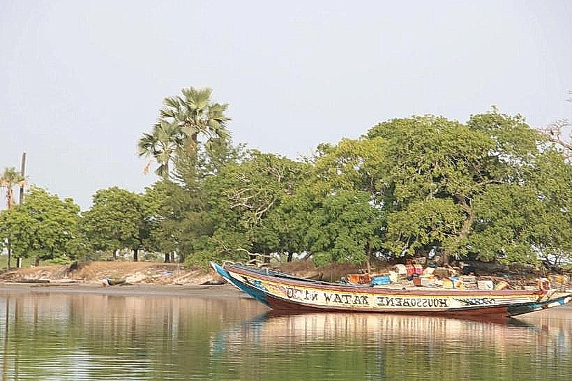
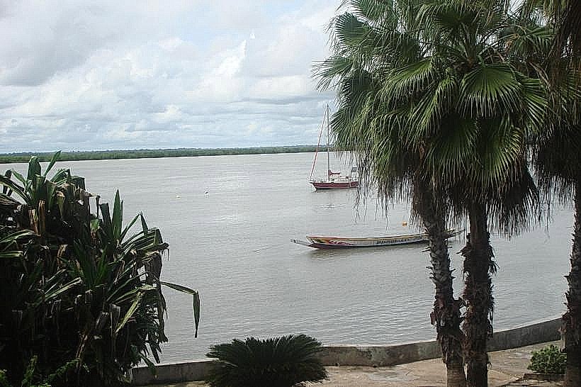
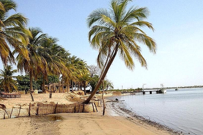
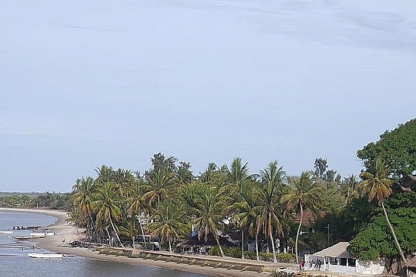
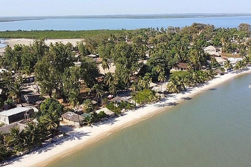
Carabane Island, also known as Karabane, is a historic river island situated at the mouth of the Casamance River in southwestern Senegal. It occupies a land area of approximately 57 square kilometers, characterized by a lack of roads and a landscape dominated by mangroves and coconut palms.
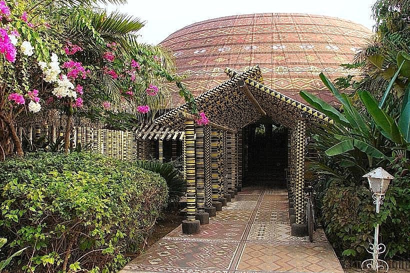
Visual Characteristics
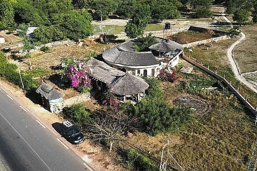
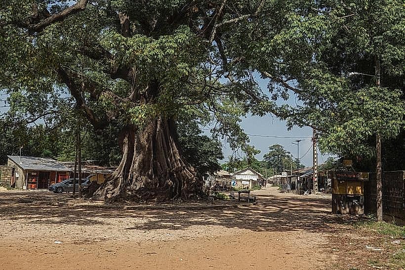
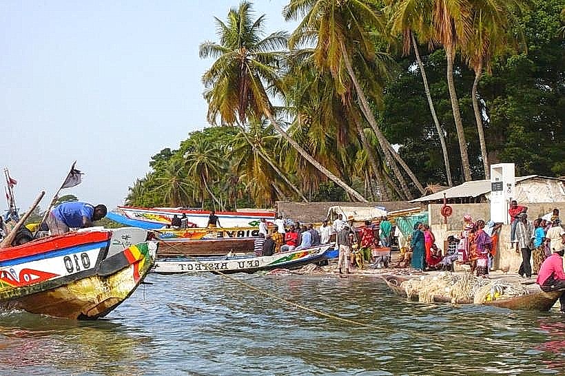
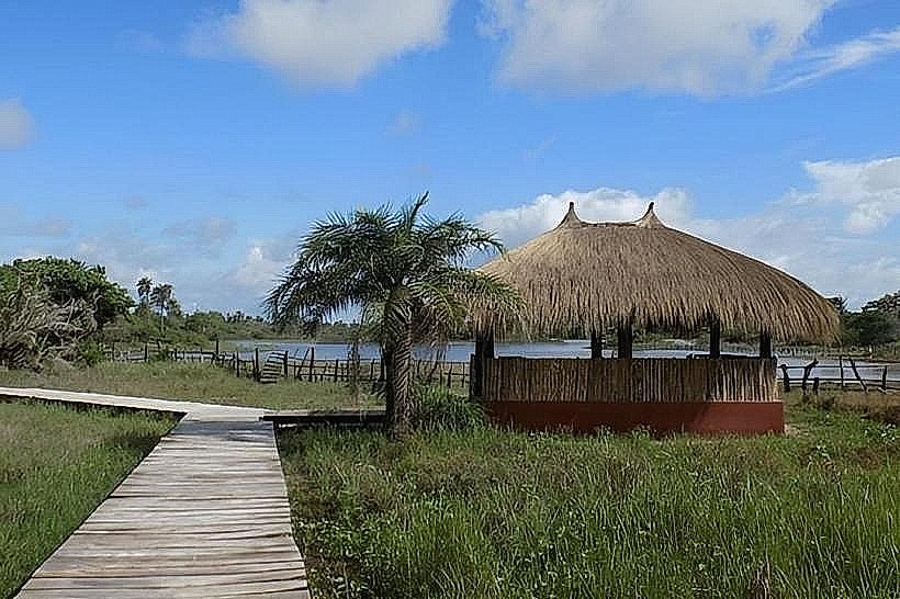
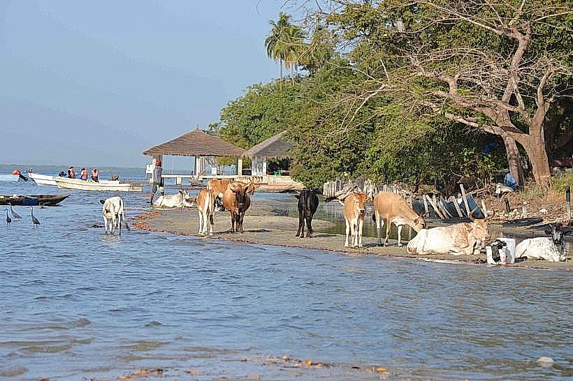
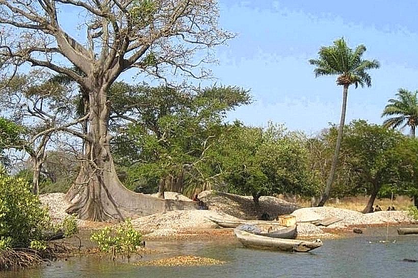
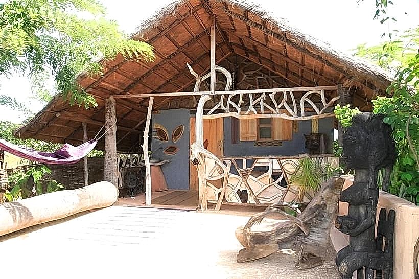
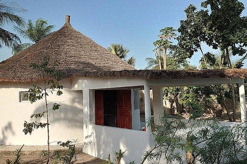
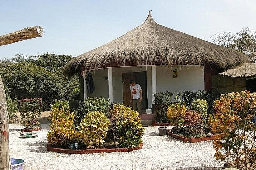
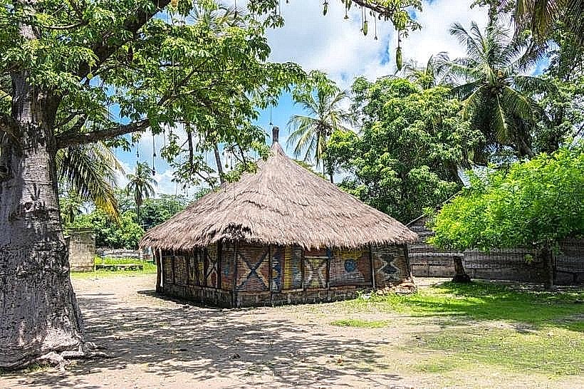
The island features a flat topography with sandy, light-colored soil and dense tropical vegetation, including large baobabs and oil palms. The architectural style consists of colonial-era ruins made of red brick and weathered stone, interspersed with modern thatched-roof huts and concrete dwellings. The surrounding water is brackish, transitioning from river silt to Atlantic blue depending on the tide and distance from the shore.
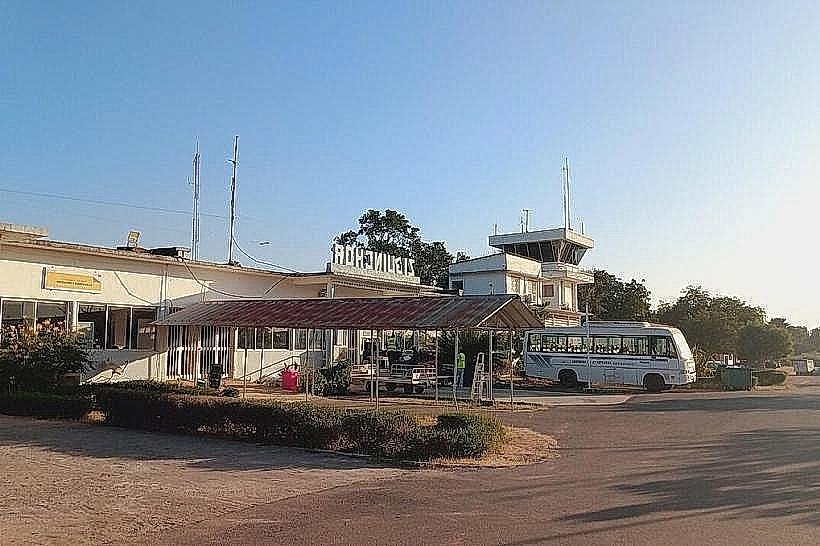
Location & Access Logistics
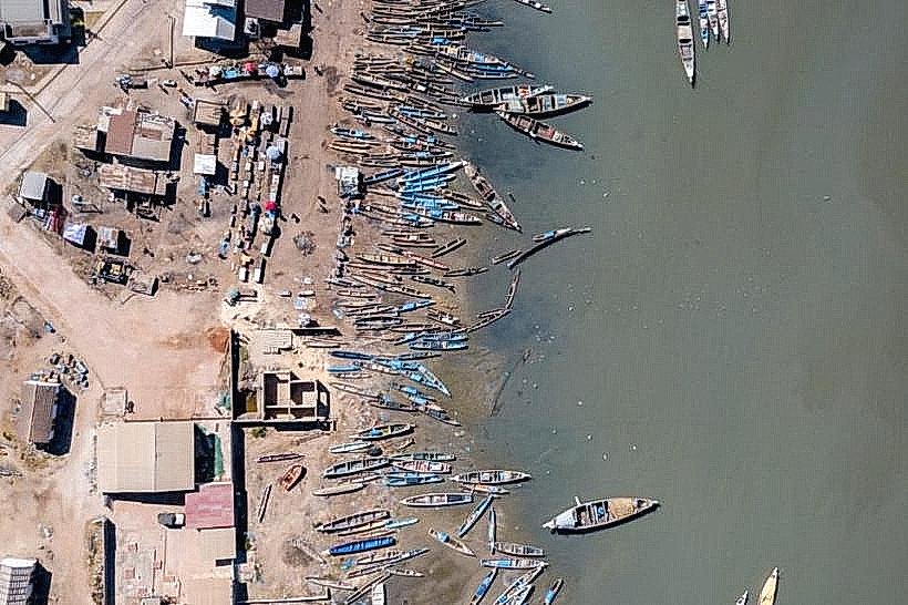
Access is strictly by water via the Casamance River. Motorized pirogues depart regularly from the docks at Elinkine, which is 60km west of Ziguinchor via the R580 road. Additionally, the Aline Sitoe Diatta ferry, which runs between Dakar and Ziguinchor, makes scheduled stops at the deep-water pier on the island's northern tip. There are no motorized vehicles on the island; transit is conducted on foot or by small boat.
Historical & Ecological Origin
Carabane was the first French trading post established in the Casamance region in 1836. It served as a primary administrative center and slave trade hub until the capital was moved to Ziguinchor in 1904. Geologically, it is an estuarine island formed by alluvial deposits and stabilized by extensive mangrove root systems (Rhizophora).
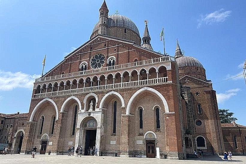
Key Highlights & Activities
Walking tours of the colonial ruins, including the 19th-century Breton-style church, are the primary activity. Birdwatching is possible in the mangrove channels surrounding the island. Fishing excursions for barracuda and captain fish depart from the main beach, and swimming is restricted to the northern sandy banks where currents are manageable.
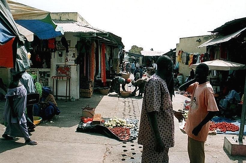
Infrastructure & Amenities
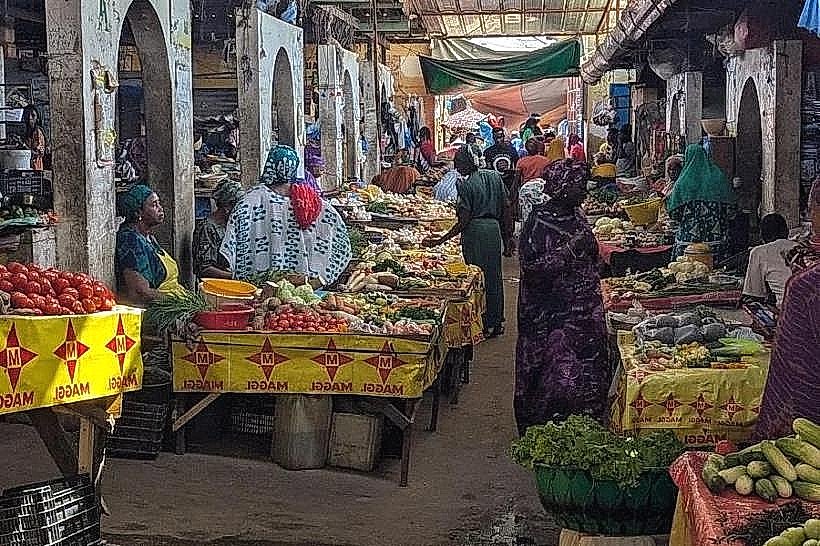
Public infrastructure is minimal with no centralized electricity grid; most lodgings use solar power or generators. 4G cell phone signal is available but can be intermittent near the southern mangroves. There are no formal medical facilities or ATMs on the island. Small guest houses provide basic food services, and public restrooms are limited to these establishments.
Best Time to Visit
The optimal period for visiting is the dry season between December and April, which avoids the high humidity and heavy rainfall of the summer months. High tide is necessary for pirogues to navigate certain shallow mangrove channels. Mid-morning offers the best lighting for photographing the red-brick ruins against the greenery.
Facts & Legends
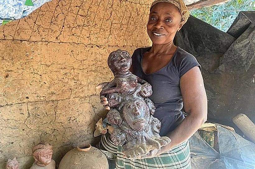
The island's cemetery contains the grave of Captain Aristide Protet, who was buried standing up according to his final wishes, supposedly so he could continue to face his enemies even in death. The island was once considered a "sacred" site by the Jola people long before colonial arrival, and specific forest groves remain off-limits to outsiders for traditional ceremonies.
Nearby Landmarks
Elinkine Fishing Village (5.2km East)
Nikine Village (4.5km South)
Point of Saint-Georges (12.0km Northeast)
Diogué Island (8.0km West)