Landmark: Diouloulou
City: Ziguinchor
Country: Senegal
Continent: Africa
Diouloulou, Ziguinchor, Senegal, Africa
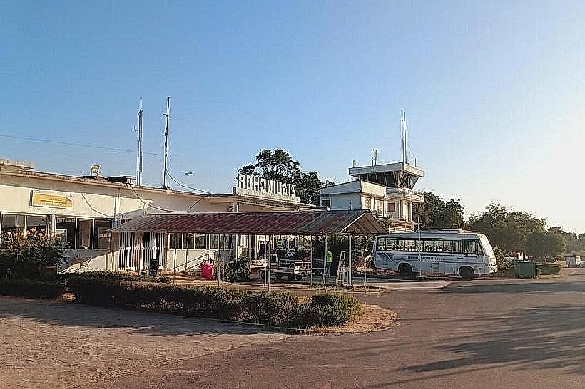
Diouloulou is a strategic border town and commune located in the northern part of the Casamance region in Senegal. It is situated along the N4 highway, approximately 80km north of Ziguinchor and less than 10km south of the border with The Gambia.
Visual Characteristics
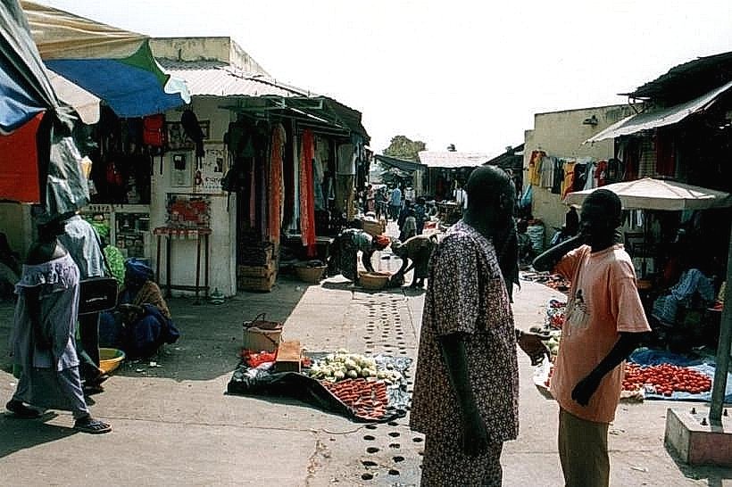
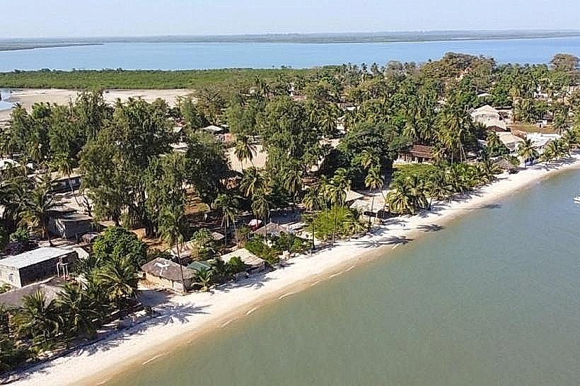
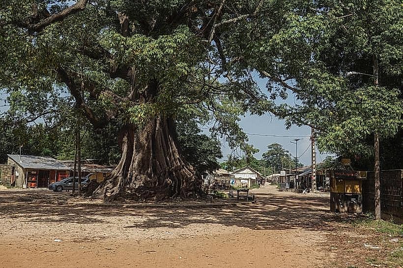
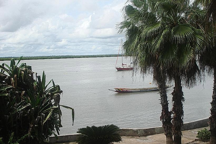
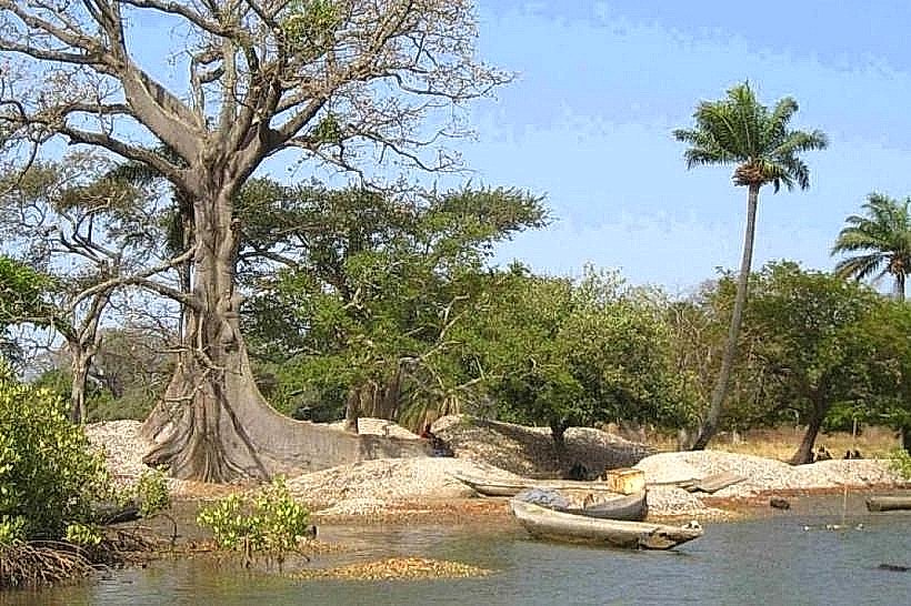
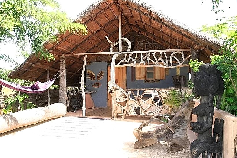
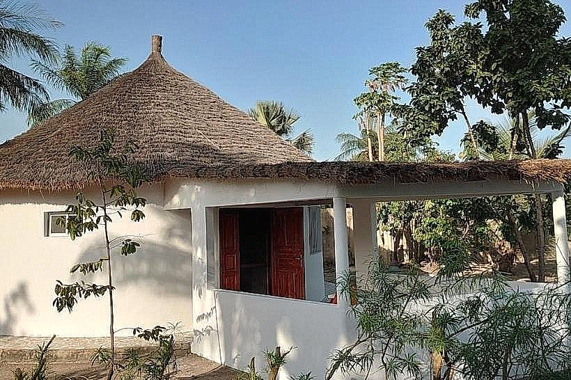
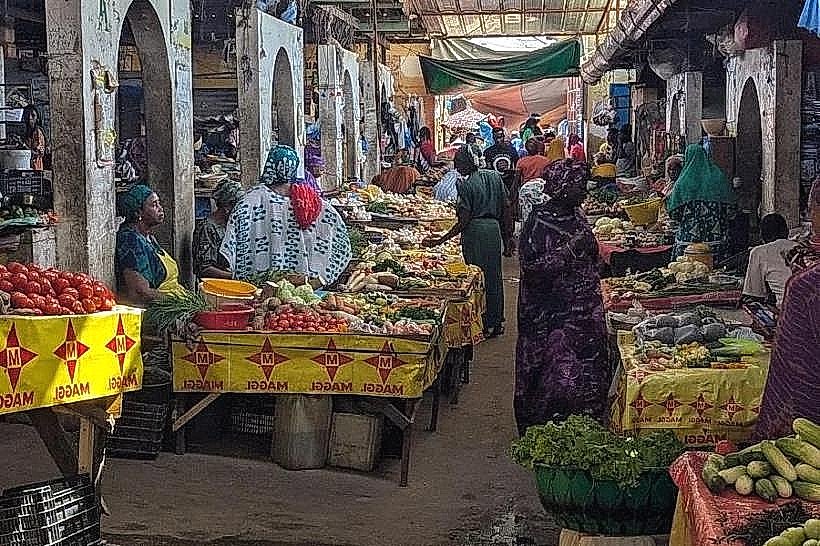
The town center is characterized by a high-density transit zone with concrete commercial buildings and open-air wooden stalls roofed with corrugated metal. The surrounding landscape consists of Sudanese-Guinean savannah, featuring expansive peanut fields, fruit orchards, and clusters of tall baobab trees. Red laterite earth defines the unpaved side streets, which contrast with the paved main northern transit corridor.
Location & Access Logistics
Diouloulou is positioned at a major crossroads where the N4 highway meets the R550 road leading toward the coast. It is the primary northern entry point for travelers coming from Banjul via the Giboro-Séléti border crossing. Public transport is abundant, with "sept-place" taxis and heavy goods vehicles frequently stopping at the central customs and police checkpoints.
Historical & Ecological Origin
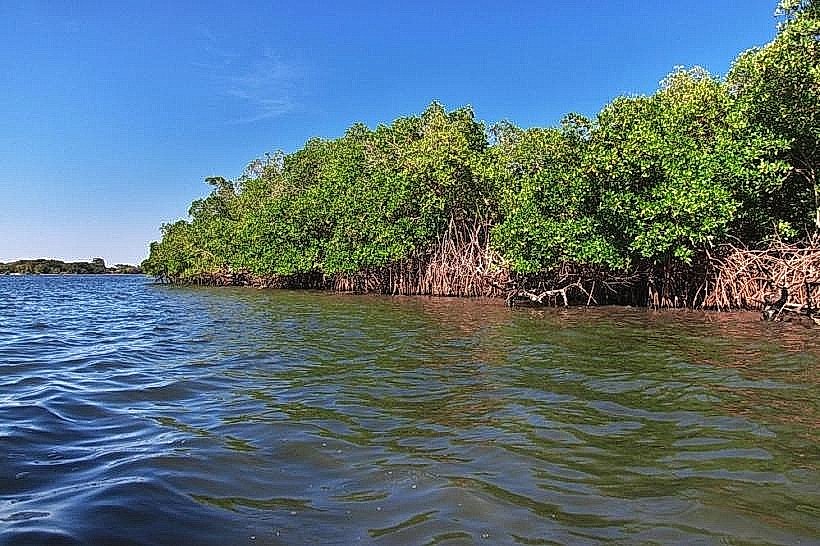
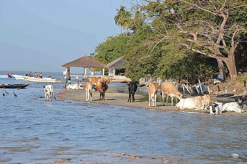
The town serves as an administrative and commercial gateway, historically significant for its role in cross-border trade between Senegal and The Gambia. Ecologically, it sits within a fertile agricultural belt supported by seasonal rains and subterranean aquifers, making it a center for the production of citrus, mangoes, and forest products.
Key Highlights & Activities
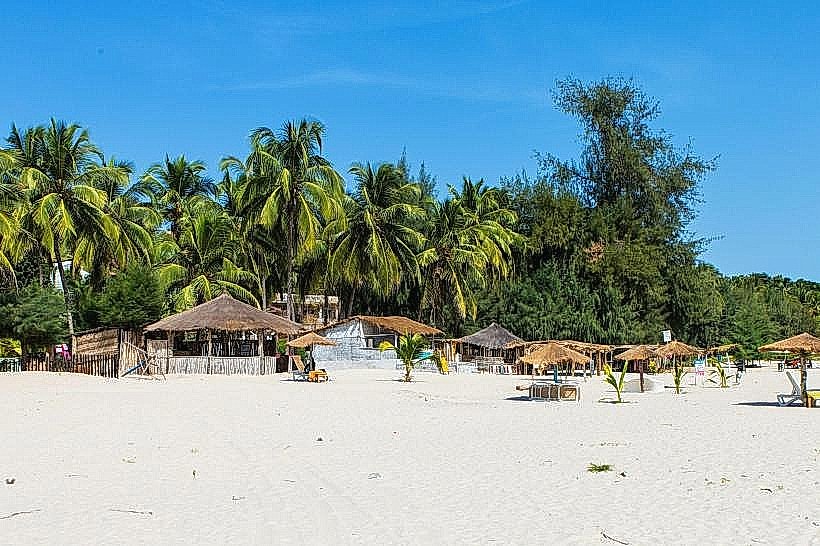
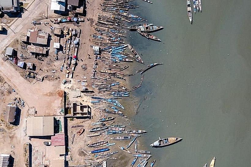
Logistical observation of cross-border commerce is the primary activity, particularly during the weekly market cycles. The town serves as a departure point for those traveling west toward the coastal forests of Abéné and Kafountine. Visitors can observe traditional agricultural processing, including the sorting of peanuts and the collection of forest honey sold in the roadside markets.
Infrastructure & Amenities
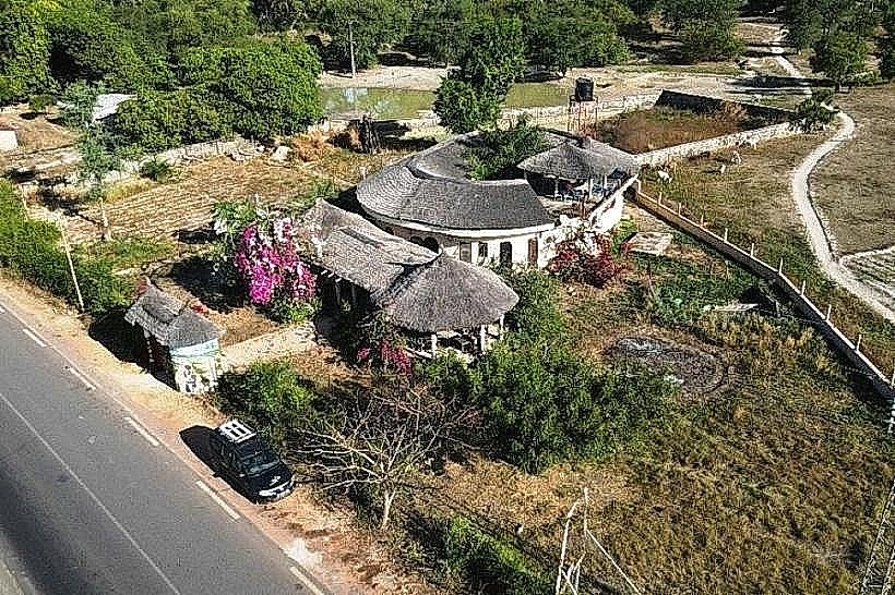
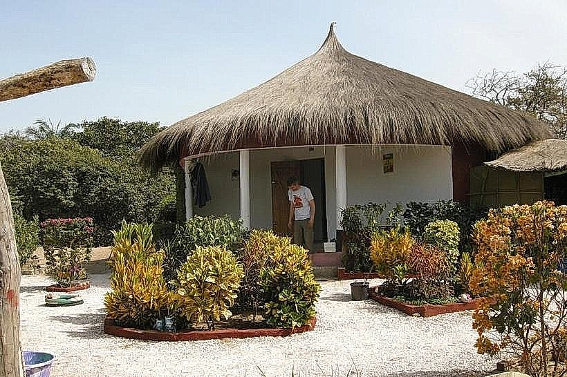
As a transit hub, the town features several basic guesthouses, small pharmacies, and telecommunications offices. 4G cellular signal is strong due to its position on the national fiber optic route. Public restrooms are limited to the main transport stop and administrative buildings; food service is dominated by "tangana" stalls and small restaurants serving grilled meats and rice dishes.
Best Time to Visit
Activity is highest during daylight hours, specifically between 08:00 and 16:00, when the border post is most active and transport vehicles are in transit. The dry season (November to May) is the most practical time for travel to avoid the heat-induced humidity and muddy conditions of the rainy season. Early morning is the best time for photography of the bustling northern gateway.
Facts & Legends
Diouloulou is known as a "melting pot" of Jola, Mandinka, and Wolof cultures due to its border location. Local residents often share stories of the town's historical role as a safe haven for traders during colonial boundary disputes. A specific logistical tip is to ensure all identification documents are readily accessible, as the town maintains rigorous transit checkpoints.
Nearby Landmarks
Séléti Border Post (9.5km North)
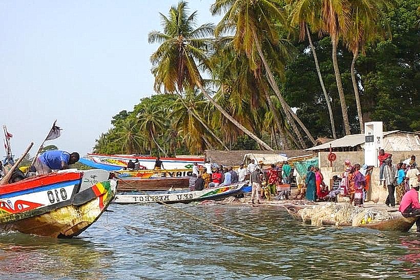
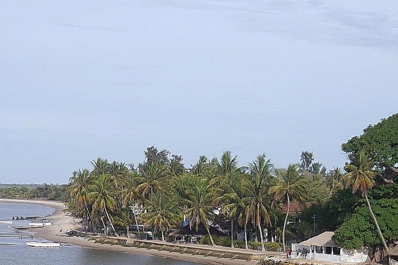
Kafountine Fishing Port (22.0km Southwest)
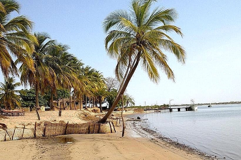
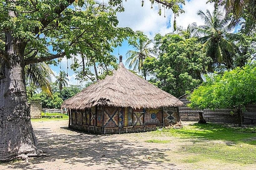
Abéné Cultural Center (20.0km West)
Bignona (50.0km South)