Landmark: Elephant Marsh
City: Blantyre
Country: Malawi
Continent: Africa
Elephant Marsh, Blantyre, Malawi, Africa
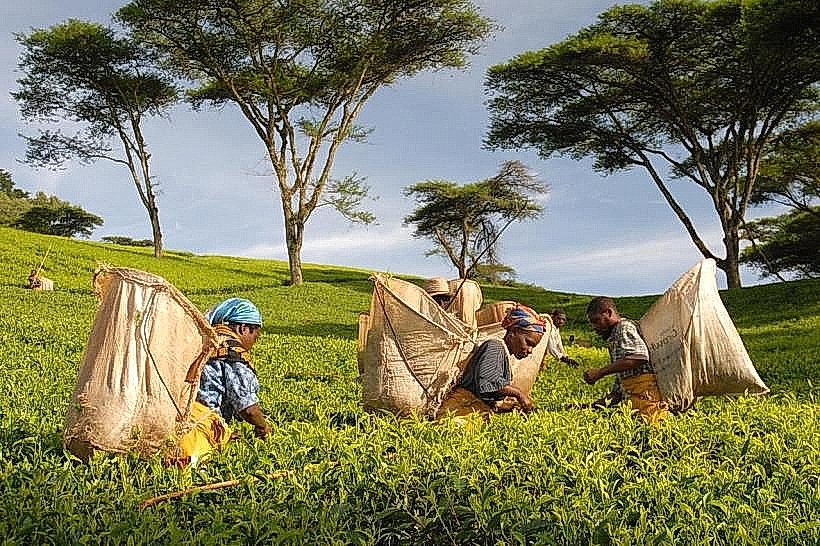
The Elephant Marsh is a vast, dynamic permanent wetland, floodplain system, and officially designated Ramsar Site of International Importance. The marsh occupies a low-lying trough within the Lower Shire River Valley in the far southern region of Malawi, stretching continuously between the primary administrative hubs of Chikwawa and Nsanje.
Visual Characteristics
The landscape is an intricate, non-uniform mosaic of open water channels, semi-permanent pools, and seasonal grass floodplains. The interior is dominated by vast, dense fields of papyrus reeds, towering bulrushes, and a thick floating mat of aquatic vegetation known traditionally as sudd. In its southern reaches, the marsh widens into a shallow lake basin punctuated by low salt-crusted islands supporting clusters of ilala palms and towering baobab trees, while the southern waters bloom heavily with white lilies and purple hyacinths. The structural profile features no fixed boundaries, with the color scheme altering from reflective blues and pale green reed beds in the dry periods to a vast, brown inland sea during major river inundations.
Location & Access Logistics
The wetland spans approximately 50 to 80 kilometers vertically along the floor of the Shire Valley, positioned directly east of the main M1 highway. Private vehicles approach the primary entry points by driving south from Blantyre via the M1 highway, descending the Rift Valley escarpment toward Chikwawa, and proceeding south toward the trading settlements of Nchalo, Ngabu, or Bangula. Unpaved, earthen tracks branch east off the M1 to hit the edge of the permanent waterways, where traditional dugout canoes can be contracted. Public transit passengers can board any long-distance minibus operating the Blantyre-Nsanje route along the M1 highway, disembarking at the prominent Chiromo or Makhanga junctions to access the southern marsh margins.
Historical & Ecological Origin
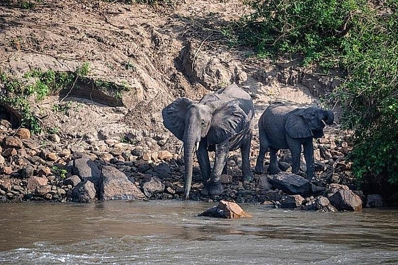
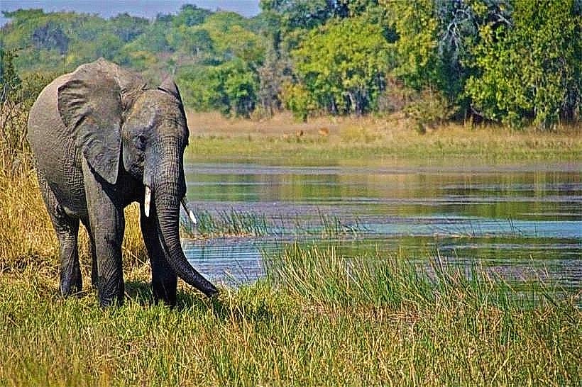
The wetland was historically named "Elephant Marsh" in 1859 by the British explorer Sir David Livingstone, who documented a single, massive gathering of over 800 elephants during his initial navigation up the Shire River aboard the steam vessel Ma Robert. In 1896, the British colonial administration gazetted the zone as one of the first official game reserves in Africa; however, due to intense hunting and agricultural conversion, the elephant populations were completely extirpated by 1910, leading to its subsequent de-gazettement. On July 1, 2017, the territory achieved formal recognition as Malawi's second Ramsar Site (Reference No. 2308), and it holds a global designation as a Key Biodiversity Area (KBA) due to its critical regulatory role in regional flood mitigation and sediment trapping along the transboundary Zambezi River catchment.
Key Highlights & Activities
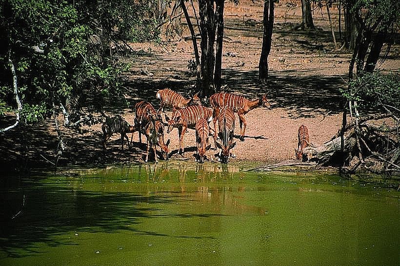
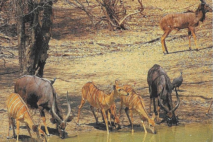
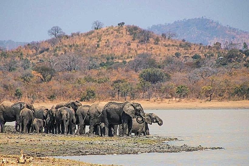
Waterborne birdwatching safaris conducted via traditional, hand-propelled wood canoes or shallow-draft motorized skiffs constitute the primary operational activity across the northern and central channels. The marsh is an elite avian destination supporting over 20,000 waterbirds across 110 distinct specialized species, allowing for the tracking of rare and sought-after lineages including the African skimmer, Malagasy pond heron, pygmy goose, goliath heron, and African marsh harrier. Additional highlights include tracking the dense resident pods of hippopotamuses and large Nile crocodiles that dominate the deep water pools, and observing artisanal long-line fishing techniques executed by local fishermen targeting native tilapia and catfish species.
Infrastructure & Amenities
The Elephant Marsh operates primarily as an unprotected, community-managed resource area and entirely lacks formal national park visitor centers, paved ticketing stations, or public restroom facilities. Structured tour coordination, professional local boatmen, and guided excursions are typically arranged through the hospitality desks of private installations located outside the marsh perimeter, such as Nyala Lodge inside neighboring Lengwe National Park or specialized eco-camps like Shire Valley Conservation. Natural shade is completely non-existent across the open water channels and marshy grass fields, rendering the entire landscape intensely exposed. Mobile telecommunications connectivity is highly variable; stable 4G network signals cover the western margins near the M1 highway corridors, but drop into complete signal isolation inside the deep central reed networks, while 5G infrastructure is totally absent. All self-drive expeditions must be fully self-sufficient, hauling all water, food, and emergency fuel provisions from Chikwawa or Blantyre.
Best Time to Visit
The optimal window for navigating the water channels, birdwatching, and structural photography corresponds with the cool, dry winter months from May to September. Early morning movements between 06:00 and 09:30 are strictly required to avoid the extreme, stifling heat and high humidity that characterizes the low-altitude Shire Valley floor by midday. The heavy tropical rainy season from November to April causes the size of the wetland to swell dramatically from approximately 500 square kilometers to over 2,700 square kilometers as the Shire and Ruo rivers overflow, introducing severe flash flooding risks that can submerge surrounding islands and render local dirt access tracks entirely impassable.
Facts & Legends
A remarkable hydrological phenomenon occurs at the southern tip of the marsh near Chiromo, where the high-volume Ruo River joins the main Shire River channel; during extreme summer cyclone events, the sheer discharge volume of the Ruo is so immense that its waters physically dam the Shire, forcing the main river flow to run backwards upstream into the marsh basin and generating catastrophic backwater floods. Local folklore preserves historical narratives of early ivory-smuggling syndicates that utilized the dense, labyrinthine papyrus channels of the sudd to evade colonial river patrols, relying on the impenetrable nature of the floating vegetation mats to conceal large cargo transit lines heading toward the Mozambique border.
Nearby Landmarks
Shire River Main Channel – 0.1km West
Ruo River Confluence (Chiromo) – 1.2km South
Lengwe National Park Boundary – 24.0km Northwest
Mwabvi Wildlife Reserve Gate – 24.0km Southwest
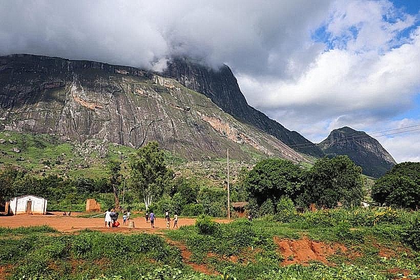
Thyolo Mountain Escarpment Base – 28.5km Northeast