Landmark: Lengwe National Park
City: Blantyre
Country: Malawi
Continent: Africa
Lengwe National Park, Blantyre, Malawi, Africa
Lengwe National Park is a protected wildlife sanctuary and conservation area spanning 887 square kilometers in the Lower Shire River Valley. The park is situated within the Chikwawa District on the southwestern periphery of the Southern Region, with its western boundary forming part of the international frontier separating Malawi from Mozambique.
Visual Characteristics
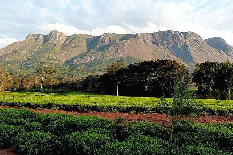
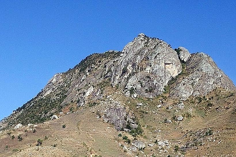
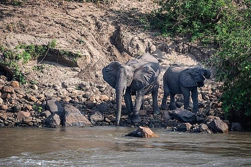
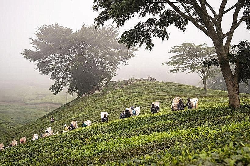
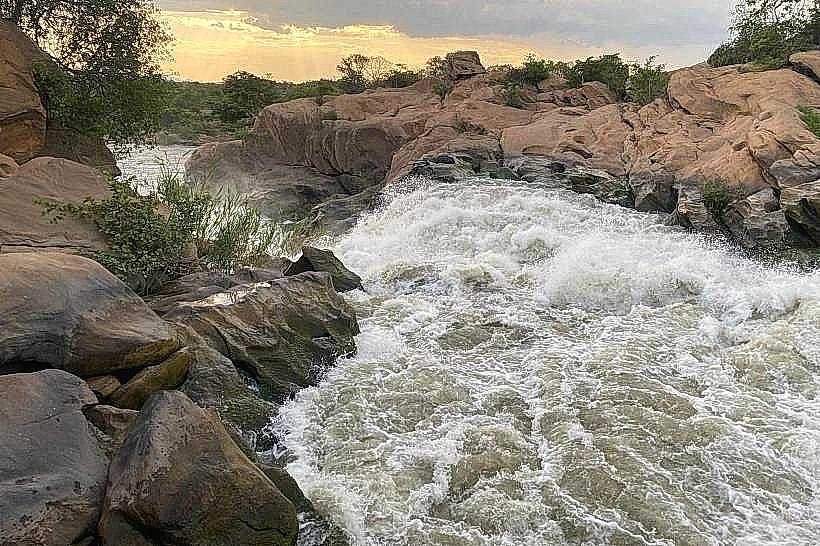
The topography is unusual for Malawi, presenting an exceptionally flat eastern plain that gradients into low, rolling hills and exposed sandstone outcrops along the western boundary line. The landscape is dominated by dense, low-altitude deciduous thickets-known locally as Lunguzi-interspersed with arid miombo and mopane woodlands. This dense, thorny vegetation features patches of large baobab trees, tall palms, and riverine forests growing along seasonal stream courses. The physical profile is characterized by a series of man-made waterholes and raised wooden wildlife viewing hides, with the overall structural color scheme shifting from dusty, golden-brown tones in the dry months to thick, impenetrable green brush during the rain cycles.
Location & Access Logistics
The park is located approximately 80 kilometers southwest of Blantyre and 10 kilometers west of the main M8 highway near Chikwawa town. Private vehicles approach the area from Blantyre by descending the steep Rift Valley escarpment via the paved M1 highway, branching onto the M8 highway toward Chikwawa, and then turning west onto a 10-kilometer unpaved dirt track that cuts directly through commercial sugarcane fields to the main gate. While the eastern driving loops leading to the main viewing hides are manageable for two-wheel-drive vehicles during the dry season, high-clearance four-wheel-drive vehicles are required for the western hill tracks. Public transport users can board a local minibus from the central Blantyre terminal to Chikwawa boma, and arrange a private motorcycle taxi to traverse the final dirt access tracks to the park entrance.
Historical & Ecological Origin
The territory was originally established as a state game reserve in 1928 to protect the northernmost natural population of the rare nyala antelope in Africa. The protected zone initially covered 520 square kilometers before being drastically reduced to 120 square kilometers in the mid-twentieth century to reallocate land for regional agricultural expansion; this original remnant sector is historically classified as "Old Lengwe." To secure the vital catchment basins of the Mwanza and Nkombedzi wa Fodya rivers, the state reconstituted the territory, constructed permanent artificial waterholes, and officially gazetted the expanded 887-square-kilometer zone as a national park in 1970.
Key Highlights & Activities
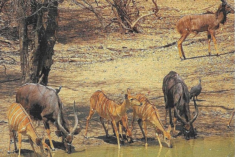
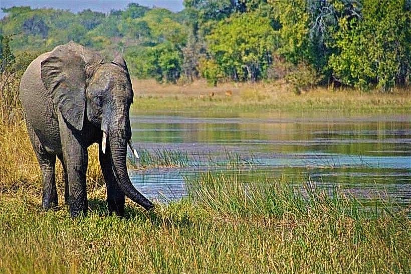
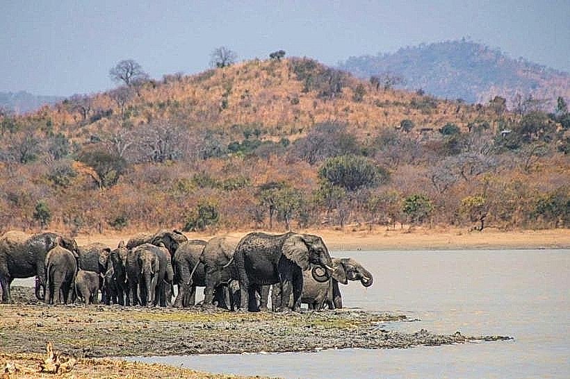
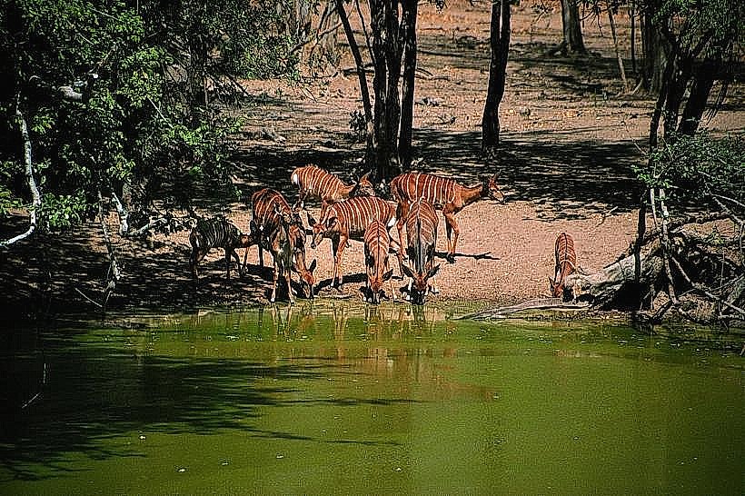
Game viewing from permanent, elevated wooden hides positioned adjacent to the main man-made waterholes constitutes the primary recreational framework, allowing for the direct observation of the park's flagship species, the reclusive nyala antelope. Because large apex predators are mostly absent, guided walking safaris and wilderness trail trekking represent highly active pursuits, allowing visitors to track large herds of Cape buffalo, greater kudu, impala, warthog, and the secretive, miniature Livingstone’s suni antelope. Birdwatching is highly regarded, with the thicket ecosystem hosting over 330 recorded avian species, including regional endemics such as the Böhm’s bee-eater, gorgeous bush-shrike, and racket-tailed roller.
Infrastructure & Amenities
The main entrance complex houses the Tisunge! Heritage Centre, which incorporates a cultural museum, an ethnographic library, and a small artisanal souvenir shop. Accommodation within the park perimeter is centralized at Nyala Lodge, which features permanent en-suite chalets, an outdoor swimming pool, and a structured campsite area equipped with hot showers and brick restroom installations. Shade is continuous inside the thatched viewing hides and under the dense thicket canopies, though the open savanna loops are fully exposed. Mobile communication network connectivity on 4G lines remains stable near the main gate and lodge, but drops completely within the western sandstone valleys, while 5G infrastructure is entirely absent. Dining is supplied exclusively by the on-site lodge restaurant, requiring self-drive day visitors to pack all external hydration and fuel provisions from Blantyre or Chikwawa.
Best Time to Visit
The optimal period for animal tracking and high-visibility photography corresponds with the dry winter season from July to September, when the dense deciduous thickets shed their foliage and natural watercourses dry into sandy tracks, forcing wildlife to aggregate predictably around the permanent man-made waterholes. Morning tracking windows between 06:30 and 09:30 offer favorable ambient temperatures and maximum avian movement before midday heat spikes. The heavy tropical rainy season from November to April stimulates thick undergrowth and fills seasonal pools, causing the single-concession Nyala Lodge to close temporarily due to flooded access tracks and unbridged river crossings.
Facts & Legends
The park's flagship species, the nyala antelope, exhibits extreme visual sexual dimorphism; the adult males feature prominent spiral horns, shaggy dark coats, and yellow legs, while the females are significantly smaller, hornless, and display a bright chestnut-red coat with clean white vertical stripes to aid camouflage inside the dense Lunguzi thorn thickets. Local historical accounts note that the founding stock of the highly successful elephant and rhino recovery programs in neighboring Majete Wildlife Reserve was structurally dependent on initial ecological baselines and anti-poaching frameworks pioneered within the old borders of Lengwe.
Nearby Landmarks
Tisunge! Heritage Museum Complex – 0.1km West
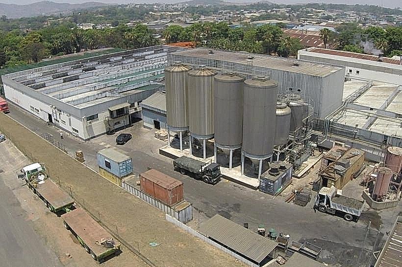
Illovo Sugarcane Plantation Boundary – 2.5km East
Chikwawa Administrative Boma – 13.5km East
Majete Wildlife Reserve Gate – 35.0km North
Mozambique International Border – 22.0km West