Landmark: Mount Mulanje
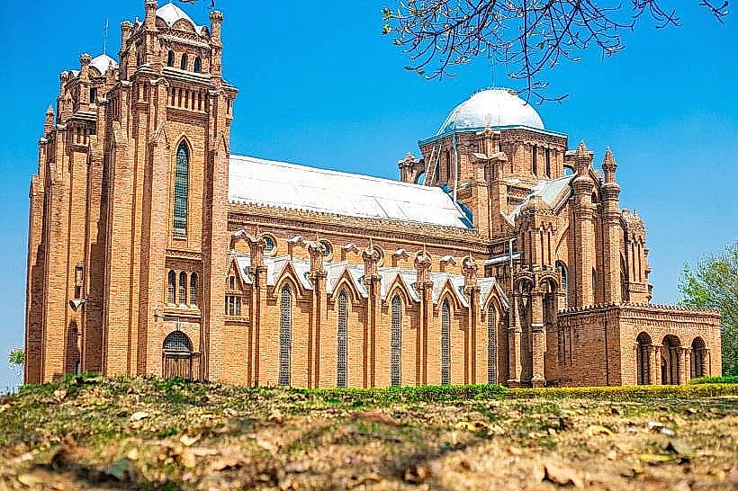
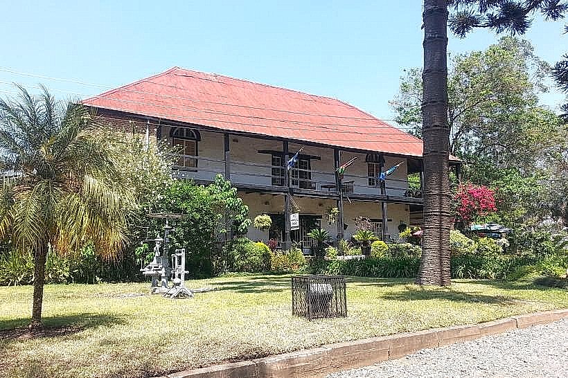
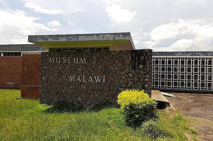
City: Blantyre
Country: Malawi
Continent: Africa
Mount Mulanje, Blantyre, Malawi, Africa
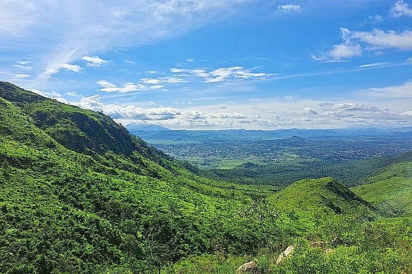
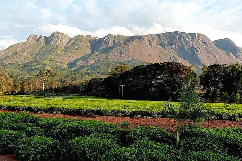
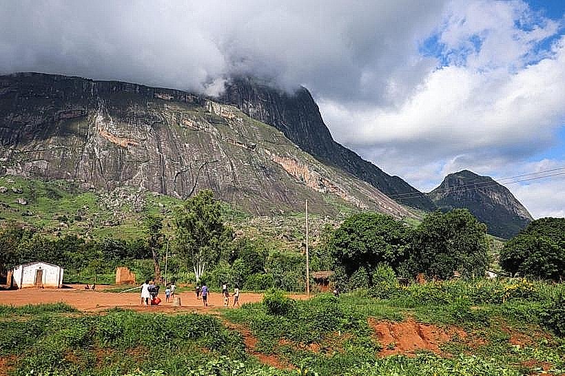
Mount Mulanje, also designated as the Mulanje Massif or the Mount Mulanje Cultural Landscape, is a colossal granite inselberg complex and protected forest reserve in Southern Africa. The massif encompasses approximately 650 square kilometers in the Mulanje District near the international border with Mozambique, standing as the highest geological formation in Central Africa.
Visual Characteristics
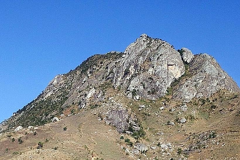
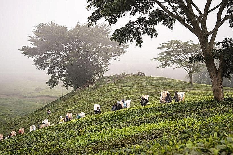
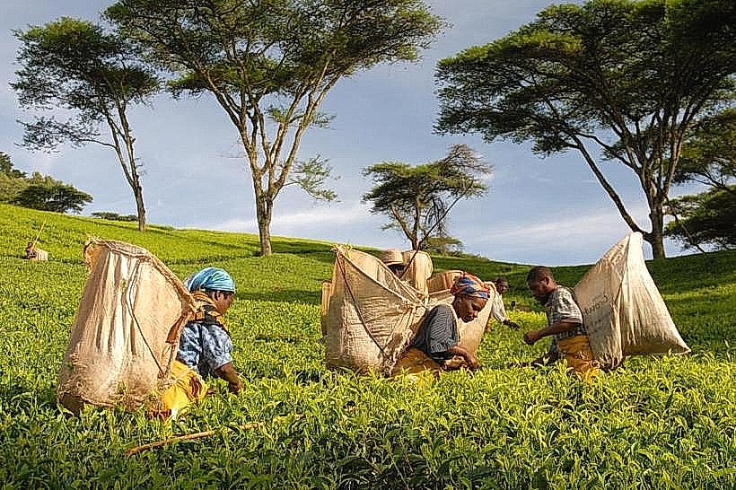
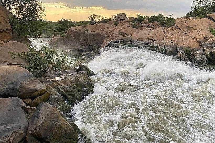
The landmark presents a dramatic, sheer mountain wall that rises abruptly from the surrounding flat plains without foothills, giving it the appearance of an "island in the sky." The topography is composed of massive syenite and granite monoliths that form a disjointed upper plateau punctured by more than twenty distinct peaks exceeding 2,500 meters. The lower slopes are lined with lush green tea plantations, while the upper ravines feature dense, multi-layered afromontane rainforests, high alpine grasslands, and deep stone gorges cut by fast-flowing streams. The physical profile is defined by monumental bare rock faces-such as the sheer 1,700-meter vertical cliff of Chambe Peak-and cascading waterfalls that drop into crystal-clear pools.
Location & Access Logistics
The mountain is situated approximately 65 kilometers east of Blantyre and can be circumnavigated via a loop road connecting the major settlements around its base. Private vehicles access the primary trailheads by driving east from Limbe along the paved M12 highway directly to Mulanje town (Boma). Major operational bases, including the Likhubula Forestry Station, are reached via well-graded gravel tracks branching north off the main highway, where secure vehicle parking clearings are maintained. Public transport commuters can utilize high-frequency minibuses from the central Limbe terminal directly to Mulanje Boma or Likhubula junction, completing the final approach to the trailheads on foot or via local motorcycle taxis.
Historical & Ecological Origin
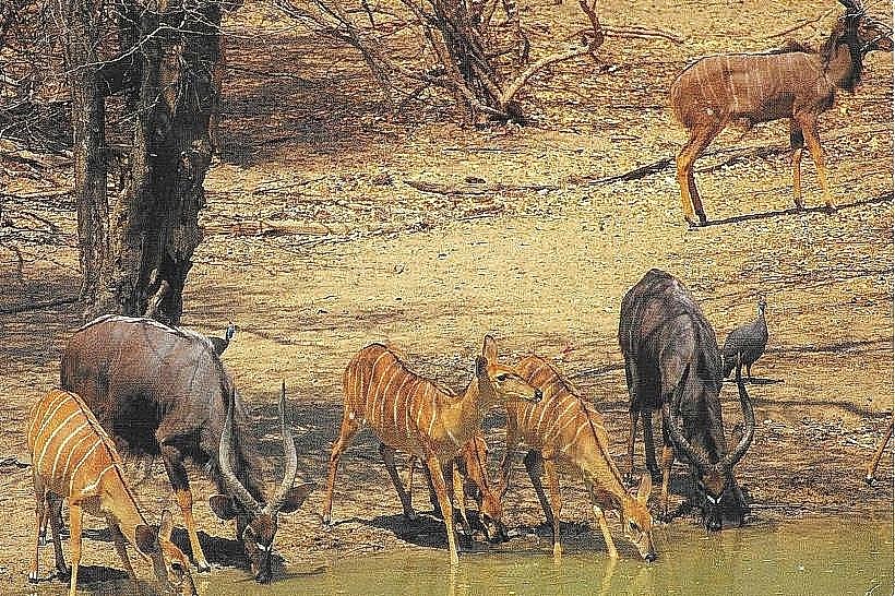
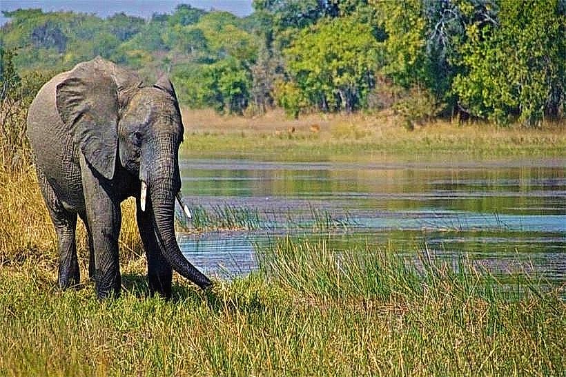
The massif consists of an ancient igneous intrusion formed approximately 130 million years ago during the Cretaceous period, subsequently exposed through millions of years of differential erosion of the surrounding softer crust. The territory was formally gazetted as the Mulanje Mountain Forest Reserve in 1927 to protect its unique watershed and timber resources, and it holds a global classification as a UNESCO Cultural Landscape. Ecologically, the mountain serves as a critical biodiversity hotspot and endemic zone; it is the exclusive native habitat of the critically endangered Mulanje cedar (Widdringtonia whytei), Malawi's national tree, and shelters rare highland avian lineages like the Thyolo alethe and white-winged apalis.
Key Highlights & Activities
Multi-day mountain trekking and rock scrambling represent the primary public activities across an extensive network of marked trails connecting ten rustic backcountry huts managed by the Department of Forestry and the Mountain Club of Malawi. The ultimate objective for endurance hikers is Sapitwa Peak, the absolute highest point of the massif at 3,002 meters above sea level, requiring a demanding 2-to-3-day expedition traversing steep granite slabs and boulder fields. Technical rock climbing is centered on the massive West Face of Chambe Peak, which stands as the longest continuous rock climb on the African continent. Lower-elevation day hikes concentrate on visiting forest cascades and natural swimming basins, such as the Dziwe la Nkhalamba pool on the Likhubula River.
Infrastructure & Amenities
The base trailheads feature structured visitor centers, guide booking registries, and porters-for-hire stations, alongside comfortable base accommodations like the Likhubula Forest Lodge. The backcountry mountain huts provide basic stone shelter, communal floor mats, rainwater collection tanks, and outdoor pit latrines, with resident caretakers available to prepare firewood and hot bathing water. Natural shade is highly dense inside the deep riverine forests and afromontane ravines, but the upper plateaus and rocky peaks are completely exposed to extreme mountain weather elements. Mobile network connectivity is highly variable; stable 4G tracking is localized to the base stations and select outward-facing ridges, while deep interior valleys and high peaks like Sapitwa suffer complete signal isolation.
Best Time to Visit
The optimal period for peak scaling, high-altitude trekking, and sharp landscape photography corresponds with the dry winter season from April to August, when ambient temperatures are cool and the risk of sudden mountain fog is lowest. Morning tracking hours between 06:00 and 09:30 are mandatory for starting ascents to avoid mid-day heat and secure clear panoramic views before convective clouds develop around the rim. The wet summer season from November to April introduces torrential orographic downpours, high electrical storm risks, and slick rock surfaces that make high-altitude trekking exceptionally hazardous and technically demanding.
Facts & Legends
The name of the highest peak, Sapitwa, translates directly from the native Chichewa language as "the place where one does not go," reflecting deep-rooted traditional folklore of the Lomwe and Chewa people who believe the summit is inhabited by ancestral spirits and mystical beings capable of vanishing unauthorized travelers. The unique geographical presence of the massive, isolated mountain generating its own localized weather patterns and cloud seas inspired the British author J.R.R. Tolkien-who visited the British protectorate in the 1930s-providing specific visual and atmospheric references that influenced his descriptions of the fictional landscapes in his high-fantasy literature.
Nearby Landmarks
Likhubula Falls & Forest Station – 0.1km Base
Chambe Peak West Face – 4.5km Northeast
Lichenya Plateau & Basin – 6.2km East
Sapitwa Summit Peak – 8.5km East-Northeast
Lujeri Tea Estate Boundary – 12.0km South