Landmark: Grand Serail
City: Beirut
Country: Lebanon
Continent: Asia
Grand Serail, Beirut, Lebanon, Asia
The Grand Serail, also known as the Government Palace, is a monumental Ottoman-era complex serving as the headquarters of the Prime Minister of Lebanon. It is situated on Serail Hill, a strategic elevation in the Beirut Central District that overlooks the Mediterranean Sea and the city center.
Visual Characteristics
The structure is a premier example of Ottoman "New Order" military architecture, characterized by its austere and symmetrical limestone facade. It spans approximately 40,000 square meters and features 588 arches and arcades, including pointed, rounded, and mandolin styles. The building is organized around a large central courtyard containing a limestone and Carrara marble fountain, while the exterior is topped by traditional red-tiled roofs and flanked by two symmetrical wings.
Location & Access Logistics
The Serail is located on Riad El Solh Street, positioned atop the Serail Hill in downtown Beirut. It is accessible via the Ring Road or through the pedestrian-friendly streets of the Central District, such as Rue des Capucins. While there is an underground car park for personnel, visitors typically use public parking lots in the Riad El Solh or Beirut Souks areas. Public bus routes and "Service" taxis frequently stop at the base of the hill near Banks Street.
Historical & Ecological Origin
Construction began in 1853 under the Ottoman Sultan Abdulmejid I to serve as a military barracks (Qishleh). It was built on the site where Ibrahim Pasha had stationed Egyptian troops in the 1830s due to the hill's military vantage point. Over time, it served as a hospital, a courthouse, and the seat of the French High Commissioner during the Mandate period. It was heavily restored and expanded in the 1990s following extensive damage during the Lebanese Civil War.
Key Highlights & Activities
Because it is an active government headquarters, the interior is generally not open for public tours. Primary activities include viewing the monumental North Gate-standing 11 meters high-and observing the architecture from the surrounding esplanade. Photography of the building is strictly regulated and often restricted by security personnel; however, the adjacent Hamidiya Clock Tower is a frequent subject for photographers.
Infrastructure & Amenities
The site is a high-security government zone with 24-hour military surveillance and 5G cellular coverage. There are no public restrooms or commercial vendors inside the palace walls. Amenities such as cafes, restaurants, and public facilities are concentrated at the base of the hill in the Riad El Solh and Bab Idriss neighborhoods. The exterior perimeter includes landscaped gardens and stone walkways.
Best Time to Visit
The exterior is best viewed in the mid-morning when the sunlight illuminates the eastern facade and the Ottoman clock tower. For those interested in the political significance, visiting during weekdays provides a view of the official government activity. The hill offers clear lighting for architectural photography during the "golden hour" shortly before sunset, provided security allows for photos from the public platforms.
Facts & Legends
A local historical curiosity is that the stone for the additional floor added during the 1990s restoration was sourced from other demolished historic buildings to ensure the new masonry matched the original Ottoman texture perfectly. Another legend involves the hill itself, which was once so steep that Ottoman soldiers used to practice cavalry maneuvers on its slopes, leading to the ground floor originally serving as massive stables for their horses.
Nearby Landmarks
Hamidiya Clock Tower (0.05km East)
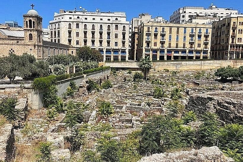
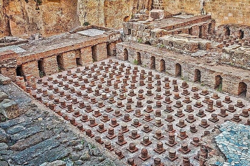
Roman Baths (0.1km East)
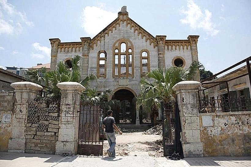
Maghen Abraham Synagogue (0.3km Northwest)
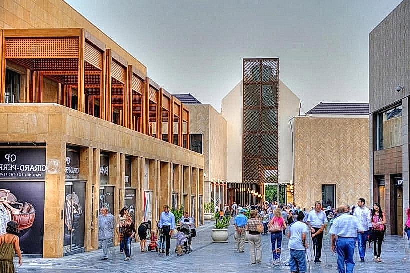
Beirut Souks (0.5km North)
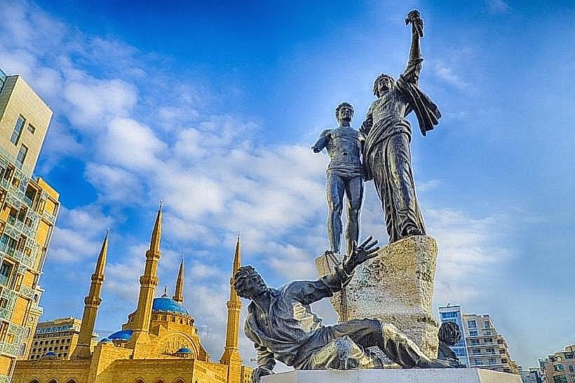
Martyrs' Square (0.6km East)