Landmark: Igishigishigi Trail
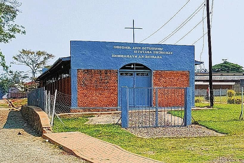
City: Nyamasheke
Country: Rwanda
Continent: Africa
Igishigishigi Trail, Nyamasheke, Rwanda, Africa
The Igishigishigi Trail is a short, high-traffic hiking route located in the Uwinka sector of Nyungwe National Park in southwestern Rwanda. It serves as the primary access path to the park's Canopy Walkway, traversing a steep ridge within the montane rainforest.
Visual Characteristics
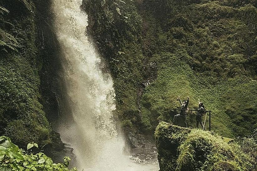
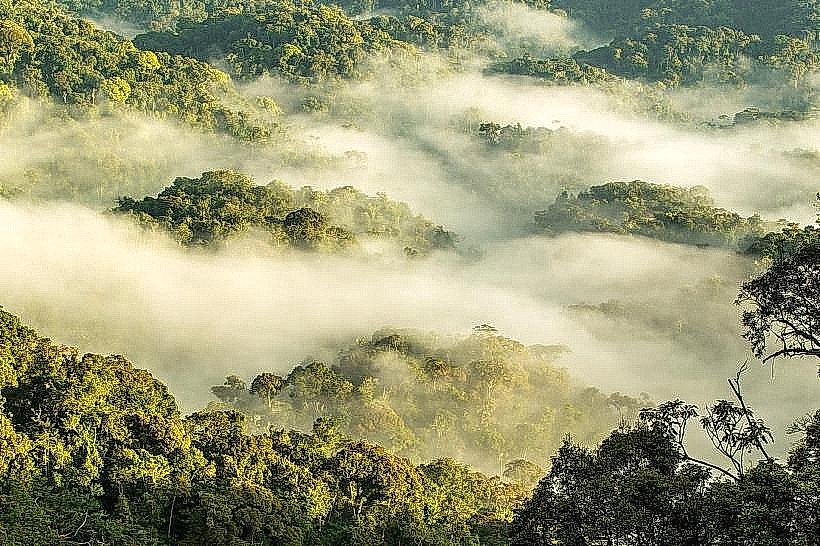
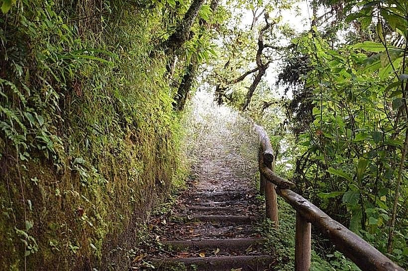
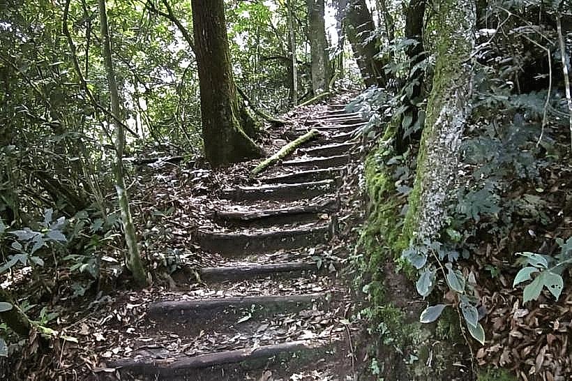
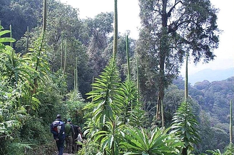
The trail surface consists of a narrow, man-made path of packed red earth and stone, often reinforced with wooden steps on steeper inclines. Vegetation is characterized by a dense mid-canopy layer dominated by giant tree ferns (Cyathea manniana), from which the trail derives its Kinyarwanda name. The surrounding forest features a high concentration of epiphytes, mosses, and lianas clinging to ancient hardwood trees, with limited sunlight reaching the forest floor.
Location & Access Logistics
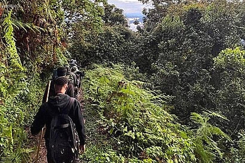
The trailhead is located at the Uwinka Reception Centre, situated directly on the RN6 highway approximately 55km from Rusizi and 220km from Kigali. Visitors can access the site via private vehicle or public bus, with parking available at the reception station. A mandatory park ranger guide is required for all hikers, and permits must be secured at the Uwinka office prior to departure.
Historical & Ecological Origin
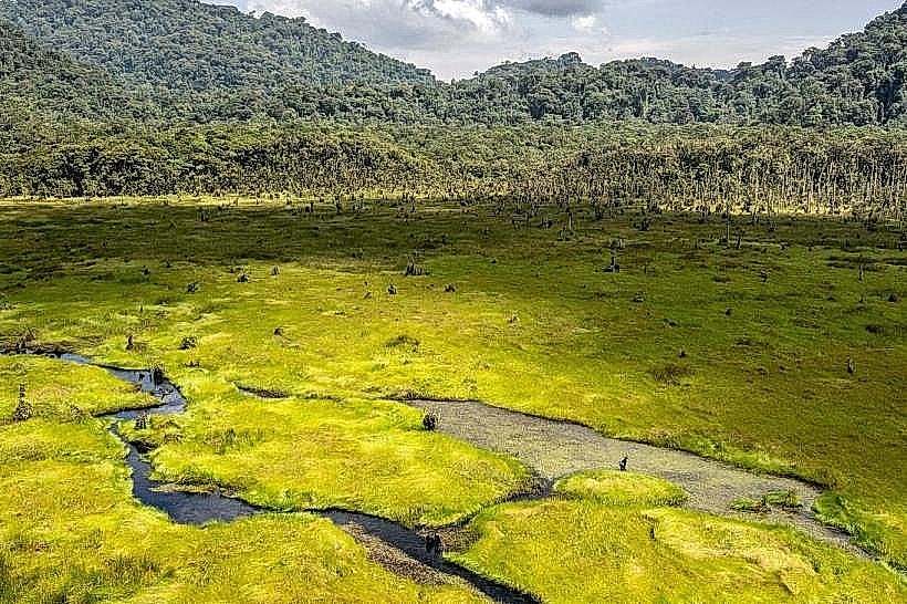
The trail was specifically engineered to link the Uwinka visitor station with the Canopy Walkway, which was constructed in 2010 by the Rwanda Development Board to promote ecotourism. Ecologically, the trail sits within a primary rainforest block that has remained stable for thousands of years, functioning as a high-altitude refuge for Albertine Rift endemic species.
Key Highlights & Activities
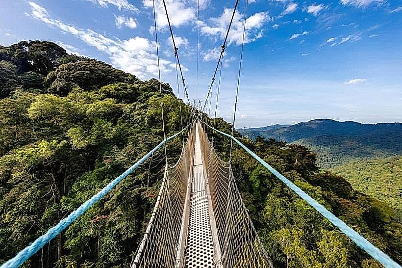
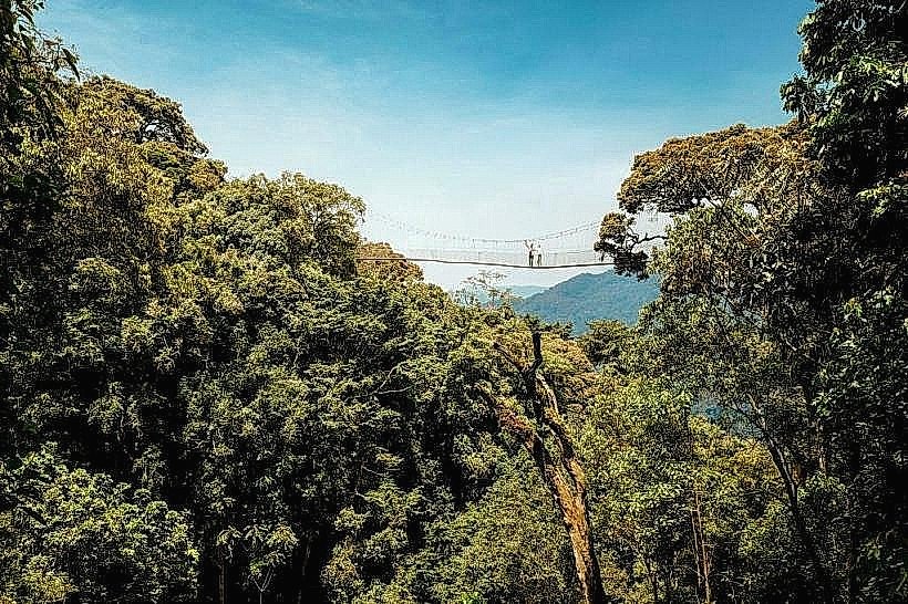
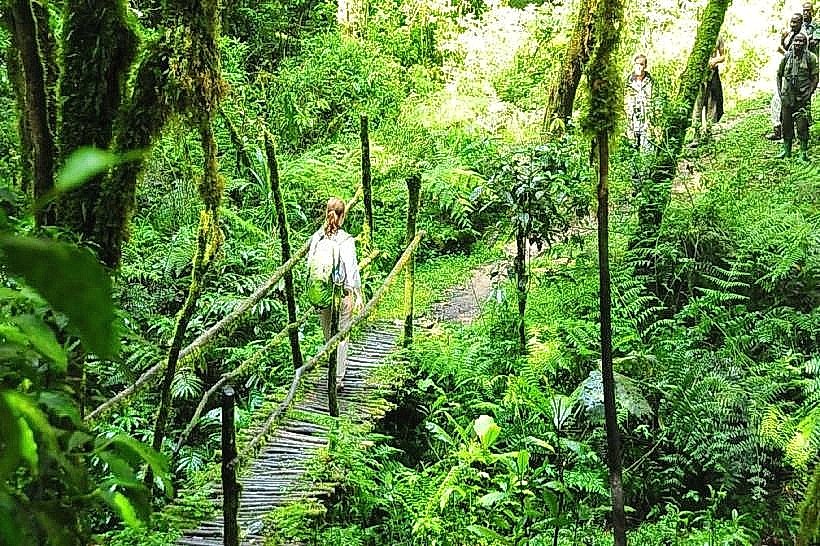
The primary activity is a 2.1km round-trip hike that typically requires 1.5 to 2 hours to complete. The central highlight is the 160-meter-long suspended canopy bridge, divided into three sections, with the highest point reaching 70 meters above the forest floor. Birdwatching is common, with frequent sightings of the Great Blue Turaco and various sunbirds along the forest edges.
Infrastructure & Amenities
Full visitor infrastructure is available at the Uwinka trailhead, including restrooms, a small café, and a briefing area. Along the trail, amenities are limited to several wooden benches and the steel-and-cable suspension bridge system. 4G cellular signal is generally stable at the trailhead and on the exposed sections of the canopy bridge but may drop in the deeper forested ravines.
Best Time to Visit
Dry season months from June to August and December to February provide the most stable walking conditions and clearest visibility for the canopy views. Photography is optimal during the 08:00 or 10:00 departure slots to capture the morning light before the frequent afternoon mist settles over the valley. High winds or heavy rain may lead to temporary closures of the suspension bridge for safety.
Facts & Legends
The Igishigishigi Trail is named after the giant tree ferns that dominate this specific microclimate; these plants are living fossils that have remained largely unchanged for millions of years. The suspension bridge itself is the only structure of its kind in East Africa, designed to allow researchers and tourists to observe the forest "from the top down" without disturbing the ground-level ecosystem.
Nearby Landmarks
Uwinka Canopy Walkway: 0.6km West
Irebero Trail: 0.1km North
Umugote Trail: 0.5km Southeast
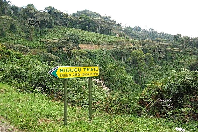
Mount Bigugu: 6.5km South