Landmark: Karamba Trail
City: Nyamasheke
Country: Rwanda
Continent: Africa
Karamba Trail, Nyamasheke, Rwanda, Africa
The Karamba Trail is a specialized birdwatching and historical trekking route located in the western sector of Nyungwe National Park, within the Nyamasheke District. It is categorized as one of the flatter and easier traverses in the park, making it a primary choice for novice hikers and ornithology specialists.
Visual Characteristics
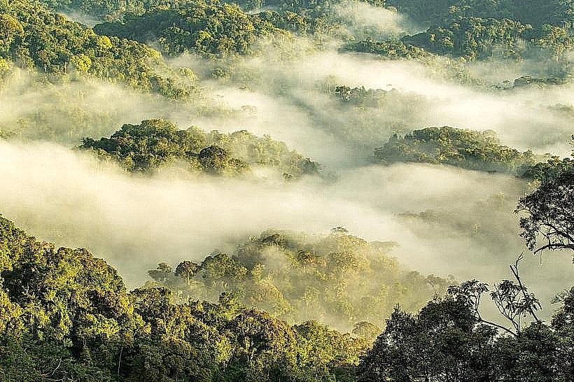
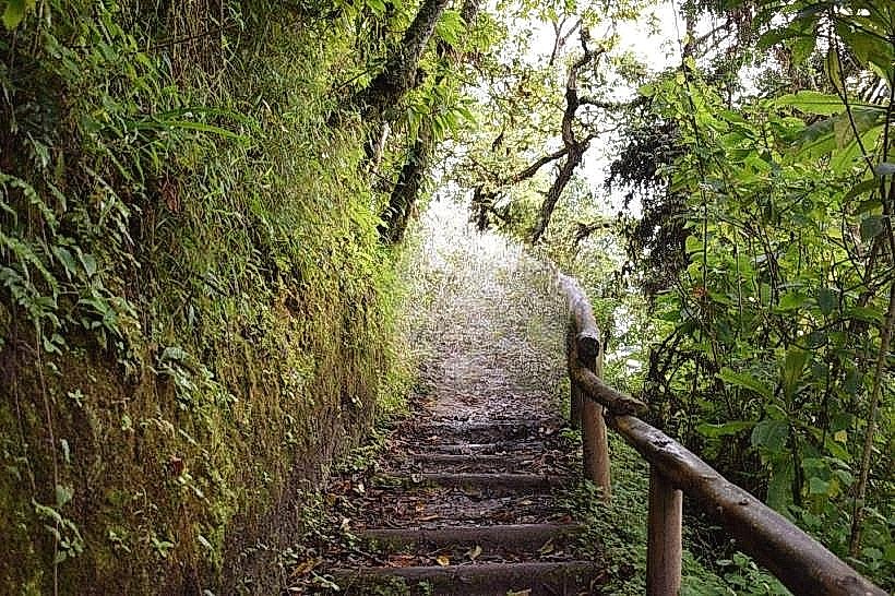
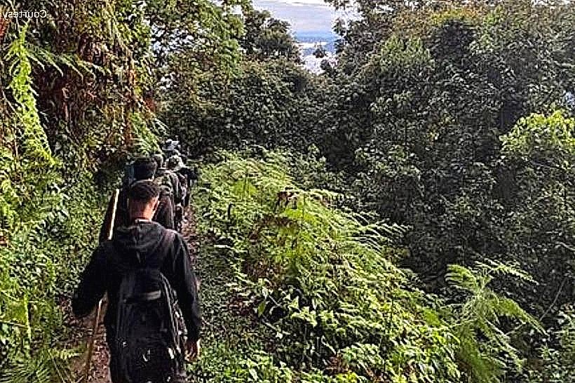
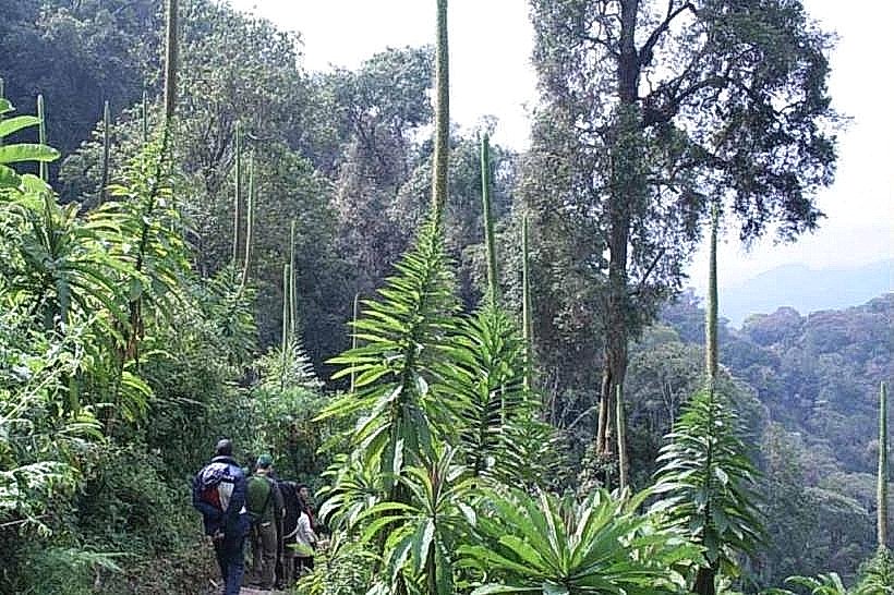
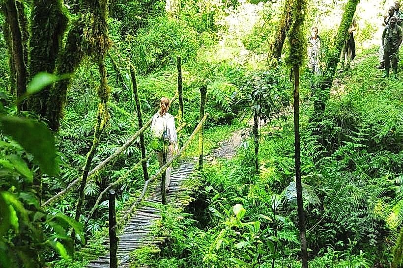
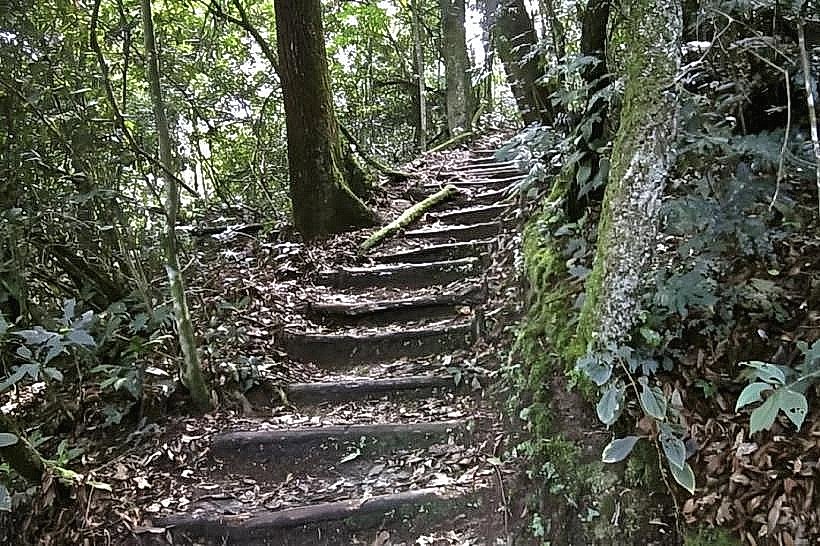
The trail is defined by its relatively open canopy compared to the dense primary rainforest of the central Uwinka sector. It features a mix of secondary forest, tall fern-tree stands, and colonizing ginger plants. The path is wider and more level than most Nyungwe trails, following the contours of a mountain ridge that offers glimpses of the Lake Kivu basin through breaks in the vegetation.
Location & Access Logistics
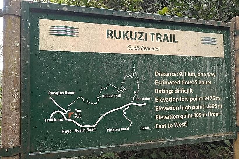
The trailhead is situated approximately 13km west of the Uwinka Visitor Center and 9km east of the Gisakura Reception Office along the RN6 highway. Access is via paved roads; visitors typically park at a designated roadside turnout and are met by a mandatory park guide. The hike is a 4km round trip, taking approximately 2 to 3 hours depending on the frequency of bird sightings. The terrain is considered easy to moderate with minimal vertical gain.
Historical & Ecological Origin
Geologically, the trail sits on the metamorphic slopes of the Albertine Rift. Historically, the area served as a gold mining site during the colonial era and later as a quarry for road construction materials. Because of this past human activity, the forest here is in a state of "secondary succession," which attracts a different variety of wildlife than the undisturbed primary forest. The abundance of fruiting trees in this regenerated zone makes it an ecological magnet for specific avian species.
Key Highlights & Activities
Specialized Birding: Recognized as one of the best spots in Nyungwe to see the White-bellied Robin-chat, Black-billed Turaco, and various Sunbirds.
Primate Observation: Frequent sightings of Silver Monkeys and L'Hoest's Monkeys, which prefer the denser undergrowth of secondary forests.
Historical Exploration: Guides point out the remnants of former mining pits and the ecological transition zones where the forest is reclaiming old human clearings.
Photography: The open canopy allows for better natural light than the Igishigishigi or Umugote trails, facilitating high-shutter-speed photography of birds in flight.
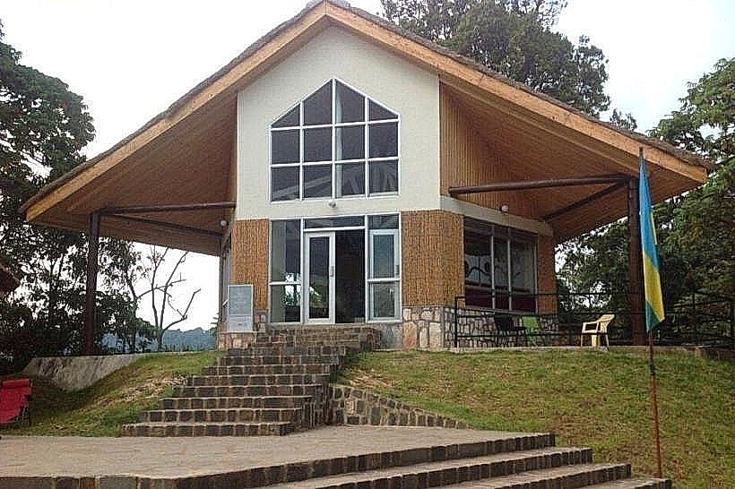
Infrastructure & Amenities
Infrastructure is limited to the cleared forest path and occasional wooden directional markers. There are no restrooms, shelters, or water points along the trail; all facilities must be accessed at the Uwinka or Gisakura offices before starting the hike. 4G cellular signal is relatively stable along this ridge due to its proximity to the main highway. Walking sticks are provided by the park service at the trailhead.
Best Time to Visit
The optimal time for birdwatching on the Karamba Trail is in the early morning (06:30–08:30) when avian activity and vocalization are at their peak. The trail is accessible year-round, but the dry season (June–August) offers the most stable footing. During the rainy season, the open canopy provides less protection from downpours than the primary forest sections.
Facts & Legends
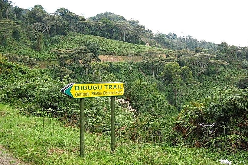
The name "Karamba" is a local reference to the specific type of flat ridge or "plateau" that the trail traverses. A specific tip for visitors: because the trail is less strenuous, it is often used as a "warm-up" hike for visitors planning to tackle the more difficult Mount Bigugu or Congo-Nile Divide trails in the following days.
Nearby Landmarks
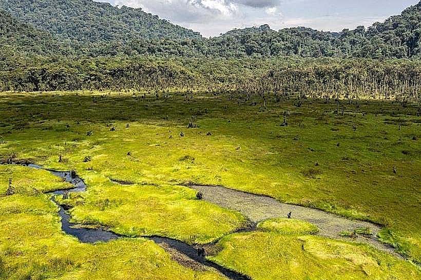
Kamiranzovu Swamp – 2.0km East
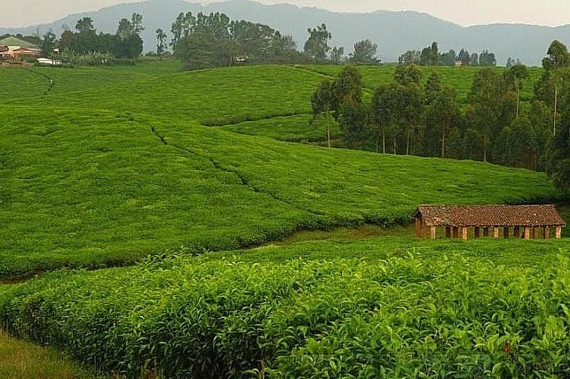
Gisakura Tea Estate – 9.0km West
Uwinka Visitor Center – 13km East
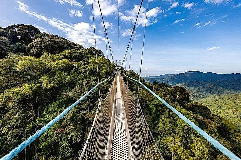
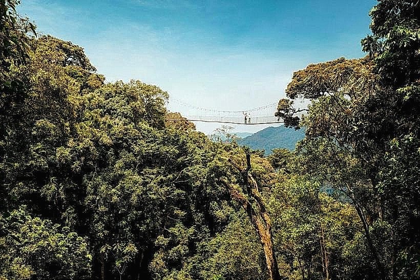
Canopy Walkway – 15km East
Lake Kivu (Cyimbiri) – 24km West