Landmark: Irebero Trail
City: Nyamasheke
Country: Rwanda
Continent: Africa
Irebero Trail, Nyamasheke, Rwanda, Africa
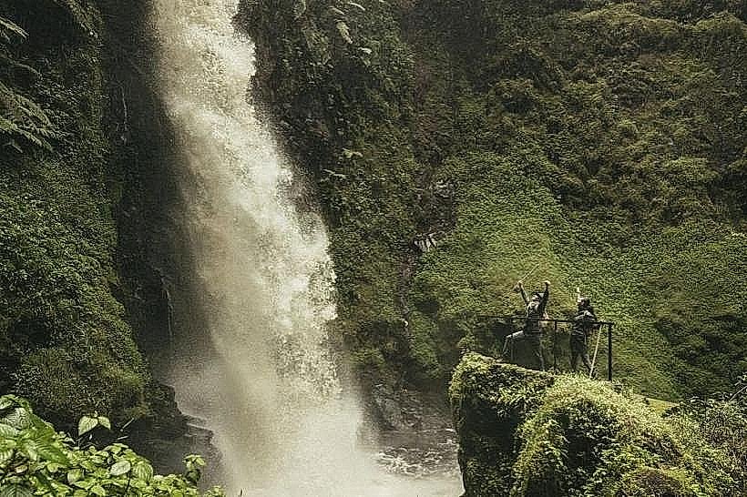
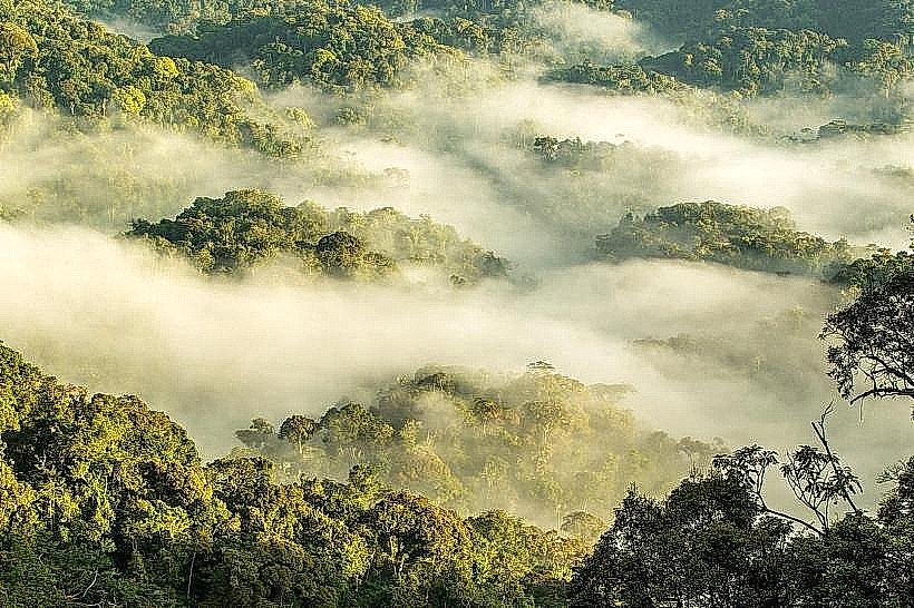
The Irebero Trail is a high-elevation trekking route situated within the Uwinka sector of Nyungwe National Park in southwestern Rwanda. It functions as a scenic loop that circumvents one of the park’s higher ridges, offering views of the surrounding primary rainforest and distant national borders.
Visual Characteristics
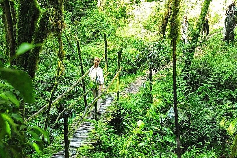
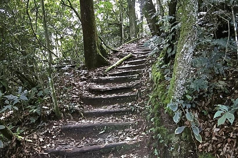
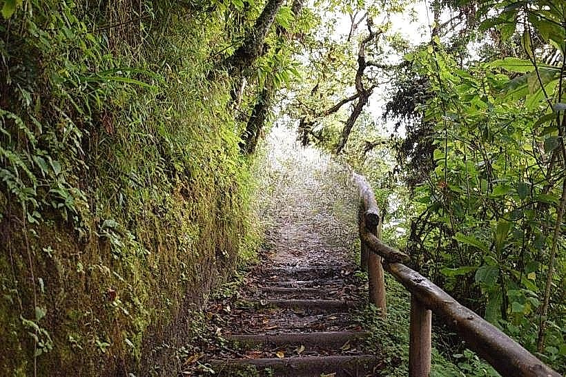
The trail surface consists of packed earth, often covered in leaf litter and tangled tree roots typical of an Afro-montane ecosystem. Vegetation is dominated by ancient hardwoods, giant tree ferns, and various species of epiphytic orchids and mosses that cling to the bark. The path includes several wooden viewing platforms positioned at break points in the canopy, providing vistas of the deep green valleys and the silver surface of Lake Kivu in the distance.
Location & Access Logistics
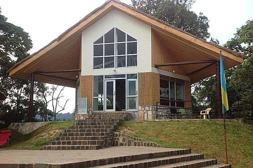
Access is via the Uwinka Reception Centre, located on the main RN6 road approximately 55km from the town of Rusizi and 220km from Kigali. Visitors can reach the trailhead by private vehicle or by taking a public bus traveling the Kigali-Rusizi route and disembarking at the park entrance. Parking is provided at the Uwinka visitor station; however, hikers must be accompanied by a park ranger and possess a valid permit issued at the reception desk.
Historical & Ecological Origin
The trail was developed by the Rwanda Development Board (RDB) to provide manageable access to the Congo-Nile Divide's unique topography. Ecologically, the trail sits within a montane rainforest that serves as a critical watershed, feeding the hydrological systems of both the Congo and Nile rivers. The forest has remained largely undisturbed for thousands of years, preserving a high density of endemic flora.
Key Highlights & Activities
The primary activity is a 3.4km loop hike that takes approximately 3 hours to complete. Primate viewing is common, specifically for L'Hoest's monkeys and Rwenzori colobus. Birdwatching is a major draw, with opportunities to spot the Great Blue Turaco and the Ross's Turaco. The trail features two distinct viewpoints that offer sightlines into the Democratic Republic of Congo.
Infrastructure & Amenities
The trailhead at Uwinka features restrooms, a small canteen, and a visitor information center with 4G cellular coverage. Once on the trail, infrastructure is limited to basic wooden benches at resting points and a few elevated observation decks. There is no shade provided by man-made structures along the path, and no food or water vendors are available past the reception area.
Best Time to Visit
The driest months of June through August and December through February offer the most stable footing and clearest views. Photography is most effective during the early morning hours (08:00 to 10:00) before the daily montane mist develops. During the rainy season, the trail becomes significantly more difficult due to mud, though the vegetation is at its highest density.
Facts & Legends
A local geographic distinction of the Irebero Trail is its position on the "Congo-Nile Divide," where a single raindrop falling on the ridge could theoretically end up in either the Atlantic Ocean via the Congo River or the Mediterranean Sea via the Nile. It is considered the best trail in the park for viewing the diverse "islands" of forest canopy from an elevated perspective.
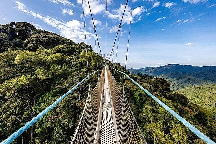
Nearby Landmarks
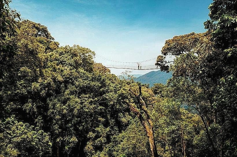
Uwinka Canopy Walkway: 0.3km South
Igishigishigi Trail: 0.1km South
Umugote Trail: 0.4km Southeast
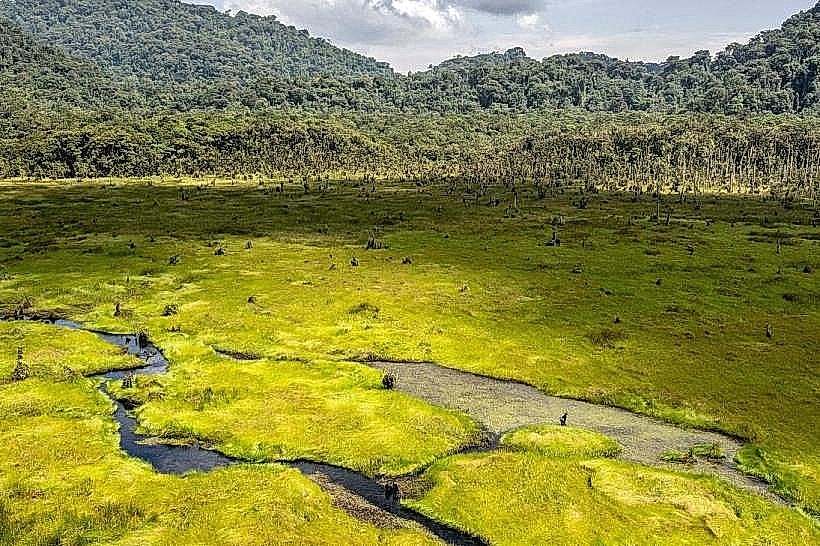
Kamiranzovu Marsh: 4.5km West