Landmark: Umugote Trail
City: Nyamasheke
Country: Rwanda
Continent: Africa
Umugote Trail, Nyamasheke, Rwanda, Africa
The Umugote Trail is a specialized high-altitude trekking route located in the central sector of Nyungwe National Park, within the Nyamasheke District. It is categorized as a moderately difficult "ridge-line" trail, designed to provide panoramic views of the park's internal valleys and the mountains of neighboring Burundi.
Visual Characteristics
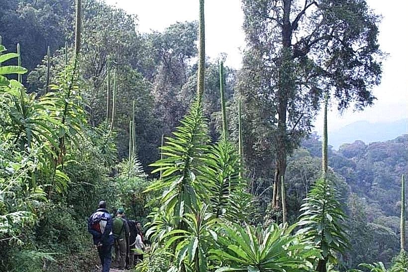
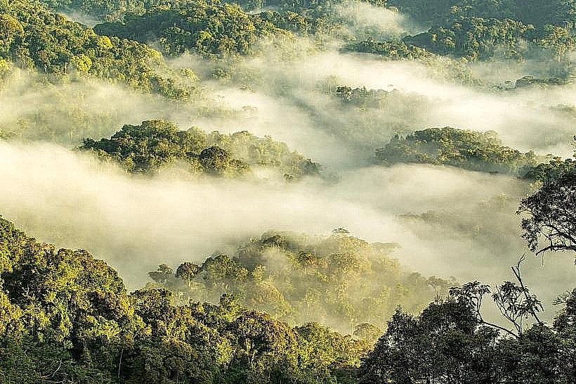
The trail is defined by its dramatic elevation changes and ridge-top traverses. The landscape shifts from dense, humid primary rainforest at the lower elevations to open, sun-exposed ridges dominated by heather and ericaceous shrubs at the higher points. On clear days, the visual experience is characterized by 360-degree vistas of the southern Nyungwe massif and the Kibira National Park across the border.
Location & Access Logistics
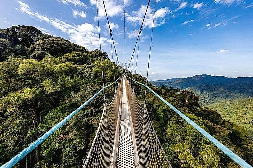
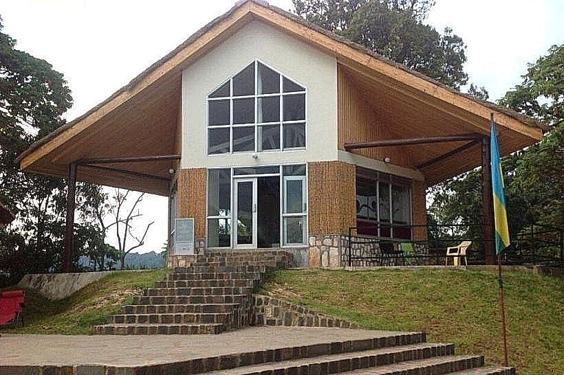
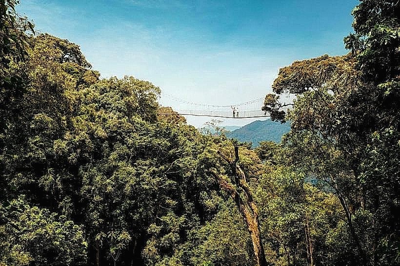
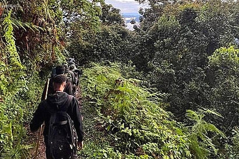
The trailhead is located at the Uwinka Visitor Center, situated along the RN6 highway. Access is via the same mountain road used for the Canopy Walkway. The hike is a 3.6km round trip, typically requiring 3 hours to complete. While the distance is relatively short, the terrain involves steep ascents and descents that require a moderate level of physical fitness. A professional park guide is mandatory and is assigned at the Uwinka reception.
Historical & Ecological Origin
Geologically, the Umugote Trail follows one of the highest structural ridges of the Nile-Congo Divide. The name "Umugote" refers to the Syzygium guineense tree (Waterberry tree), which is exceptionally abundant along this specific route. Historically, these ridges served as natural observation posts for forest rangers and traditional honey hunters. The ecosystem is a prime example of "cloud forest," where moisture is frequently stripped directly from the mist by the high-altitude vegetation.
Key Highlights & Activities
Mountain Vistas: Offers the best vantage points in the central sector for viewing the southern peaks of the park and the border regions.
Primate Spotting: Known for sightings of L'Hoest's monkeys and Blue monkeys in the lower canopy sections of the trail.
Botanical Diversity: Observation of the transition between Afro-montane rainforest and sub-alpine vegetation, including giant lobelias and various orchid species.
Birdwatching: A reliable location for spotting the Regal Sunbird and the Rwenzori Turaco in the flowering ridge-side trees.
Infrastructure & Amenities
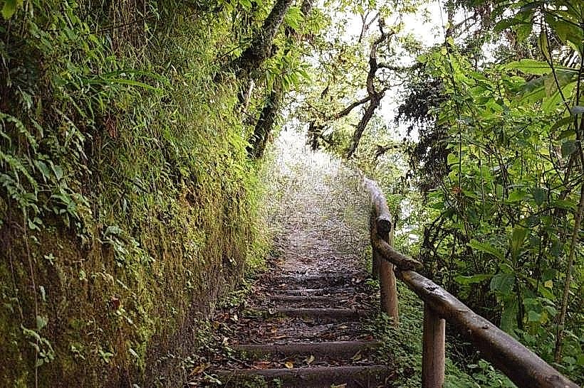
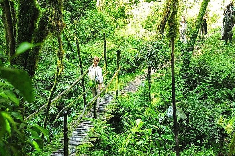
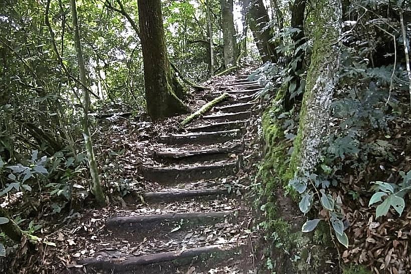
Infrastructure is restricted to the maintained forest path, which features earthen steps and occasional wooden reinforcements. There are no facilities along the trail; all requirements, including restrooms and water, must be addressed at the Uwinka Visitor Center before departure. 4G cellular signal is stable at the higher ridge points but drops in the valley sections. Walking sticks are provided at the trailhead.
Best Time to Visit
The 09:00 departure is the most recommended to allow the early morning valley mist to clear, providing the best visibility from the ridges. The dry seasons (June–August and December–February) are optimal for avoiding the slippery clay conditions on the steep descents. During the rainy season, the trail offers a more atmospheric, misty experience but requires high-traction footwear.
Facts & Legends
Local guides often point out the "Honey Trees" along the ridge, which were historically used by the Twa people for harvesting wild forest honey. A specific tip for visitors: because this trail involves more exposure to the sun on the open ridges than the forested Isumo or Karamba trails, sun protection and extra water are necessary despite the cool mountain air.
Nearby Landmarks
Uwinka Visitor Center – 0.1km (Trailhead)
Canopy Walkway – 2.1km East
Igishigishigi Trail – Adjacent
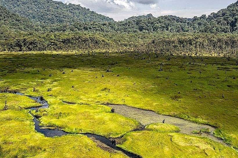
Kamiranzovu Swamp – 12km West
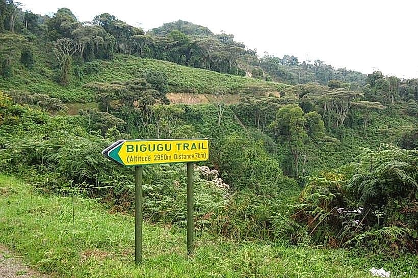
Mount Bigugu – 8km East