Landmark: Uwinka Visitors Center
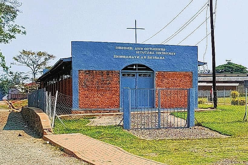
City: Nyamasheke
Country: Rwanda
Continent: Africa
Uwinka Visitors Center, Nyamasheke, Rwanda, Africa
The Uwinka Visitors Center is the primary operational hub and educational gateway for Nyungwe National Park, located in the Nyamasheke District of the Western Province. It serves as the central coordination point for all trekking, research, and conservation activities within the central sector of the Afro-montane rainforest.
Visual Characteristics
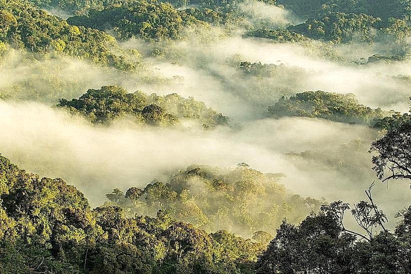
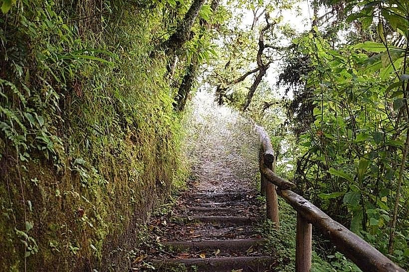
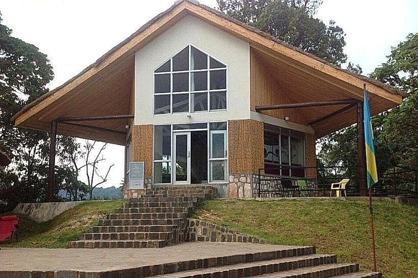
The center is a modern architectural complex integrated into a steep mountain ridge at an elevation of approximately 2,450 meters. It features timber-framed buildings with wide glass windows and stone-clad walls, designed to blend with the surrounding high-altitude canopy. The site is defined by its expansive wooden viewing decks that offer panoramic views of the deep forested valleys and the distant ridges of the Albertine Rift.
Location & Access Logistics
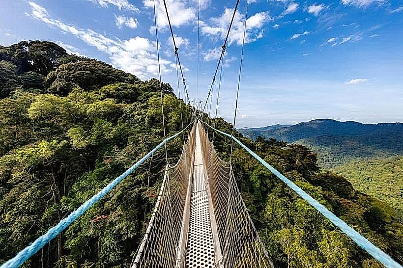
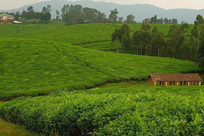
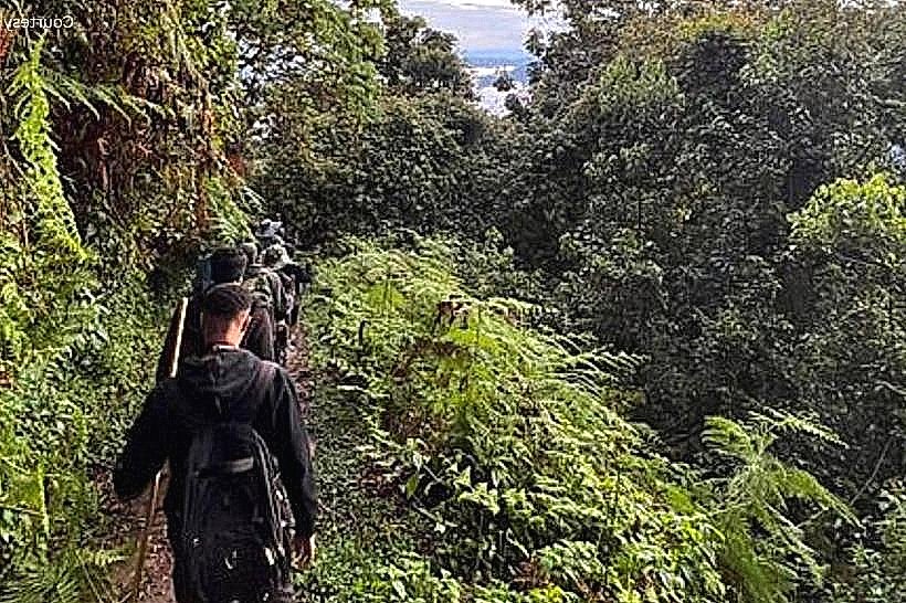
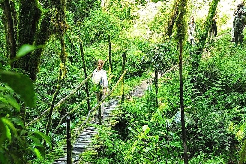
Uwinka is situated directly along the RN6 highway (Kigali-Rusizi road), approximately 55km east of Rusizi and 220km west of Kigali. Access is via paved mountain roads characterized by sharp bends and significant elevation changes; a 4x4 vehicle is recommended for the final approach to the center's parking area. It is the mandatory starting point for the Canopy Walkway and several major hiking trails. The center operates as a check-in point where permits are verified and guides are assigned.
Historical & Ecological Origin
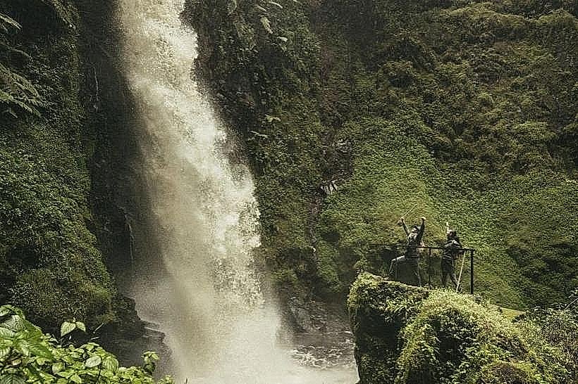
Geologically, the center sits on the metamorphic basement rock of the Nile-Congo crest. It was extensively modernized in 2010 to facilitate the launch of the Canopy Walkway and to centralize park administration. Historically, Uwinka has been a strategic forest station since the colonial era, serving as a lookout point due to its commanding elevation. The surrounding forest is a primary catchment area for the sources of both the Nile and the Congo rivers.
Key Highlights & Activities
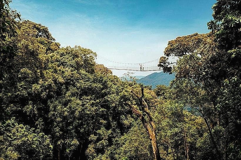
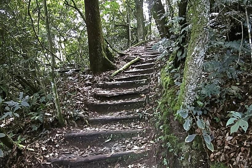
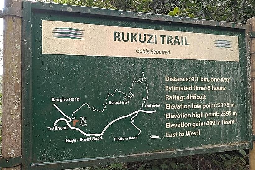
Trailhead Hub: The departure point for the Igishigishigi (Canopy Walk), Umugote, and Imbaraga trails.
Interpretation Center: Features a small museum with exhibits on Nyungwe’s biodiversity, including primate skeletons, botanical samples, and geological maps.
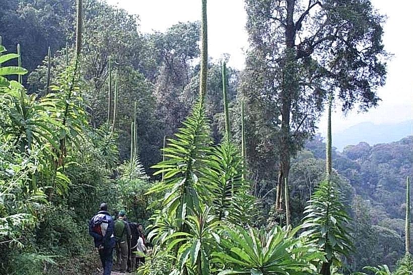
Primate Observation: L'Hoest's monkeys and Blue monkeys are frequently visible in the trees immediately surrounding the center’s parking lot and viewing decks.
Birdwatching: The high-altitude gardens around the center attract several Albertine Rift endemics, such as the Regal Sunbird and the Rwenzori Turaco.
Infrastructure & Amenities
The complex includes a reception desk, a briefing hall, a small gift shop selling local crafts, and a café providing basic refreshments and Rwandan coffee. Modern public restrooms and sheltered waiting areas are available. 4G cellular signal is generally stable at the center, though coverage drops immediately upon entering the forest trails. A fleet of park vehicles and professional guides are stationed here daily.
Best Time to Visit
The center is open daily from 07:00 to 17:00. To participate in the most popular morning treks (including the 08:00 or 10:00 Canopy Walk), arrival by 07:30 is essential for briefing and gear preparation. The early morning (07:00–09:00) offers the highest probability of seeing clear views before the characteristic afternoon mist and rain descend on the ridge.
Facts & Legends
The name "Uwinka" is associated with a historical reference to a local watering hole or high-altitude spring used by forest travelers. A specific tip for visitors: because the center is located at 2,450 meters, temperatures are significantly lower than in Kigali or the Lake Kivu shore; carrying a waterproof jacket and warm layers is mandatory even on sunny days.
Nearby Landmarks
Canopy Walkway – 2.1km (via Igishigishigi Trail)
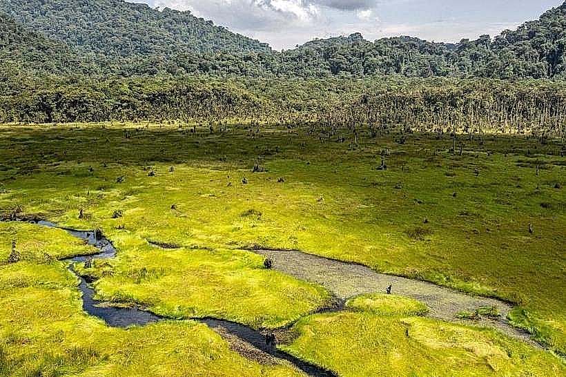
Kamiranzovu Swamp – 12km West
Gisakura Reception Office – 22km West
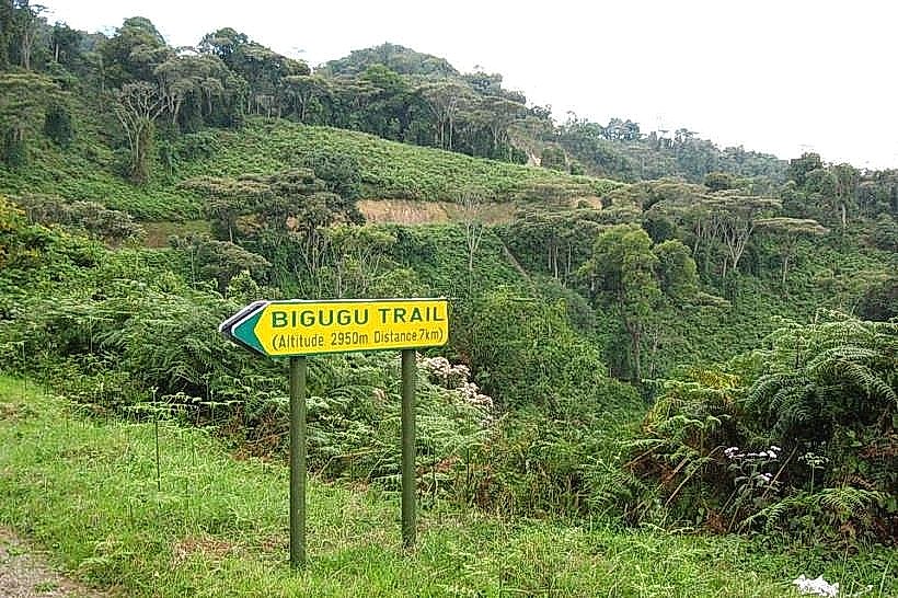
Mount Bigugu – 10km East
Kitabi Entrance – 35km East