Landmark: Ngabwe Trail
City: Nyamasheke
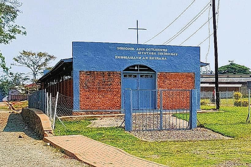
Country: Rwanda
Continent: Africa
Ngabwe Trail, Nyamasheke, Rwanda, Africa
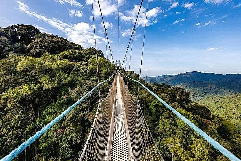
The Ngabwe Trail is a moderate-intensity hiking route located in the eastern section of Nyungwe National Park in Rwanda. It serves as a primary access point for observing high-altitude biodiversity and the park’s unique montane canopy structures.
Visual Characteristics
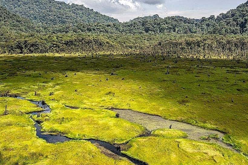
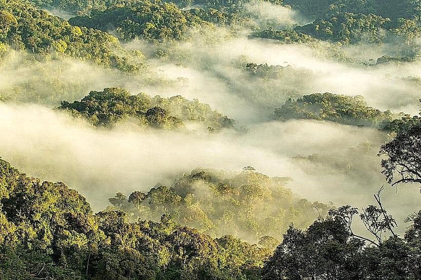
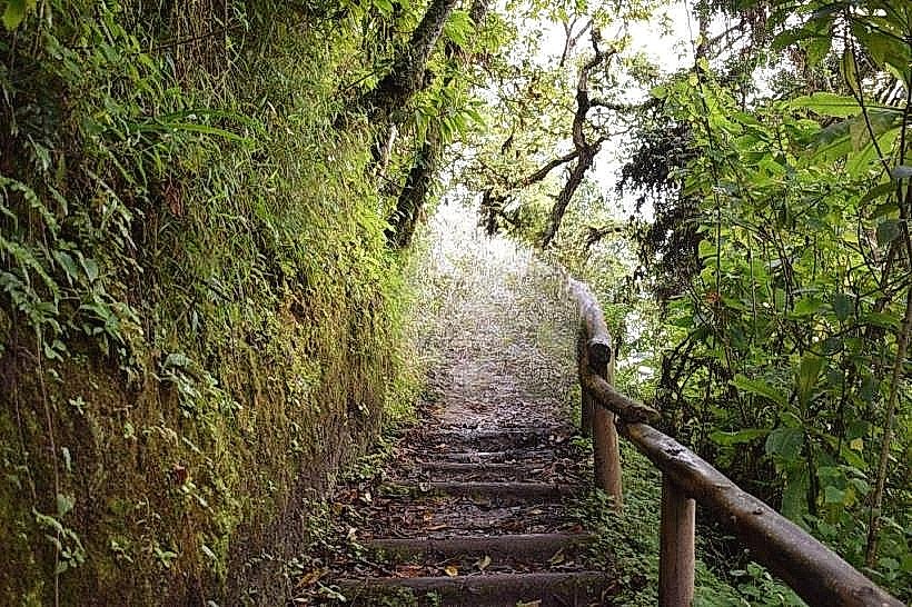
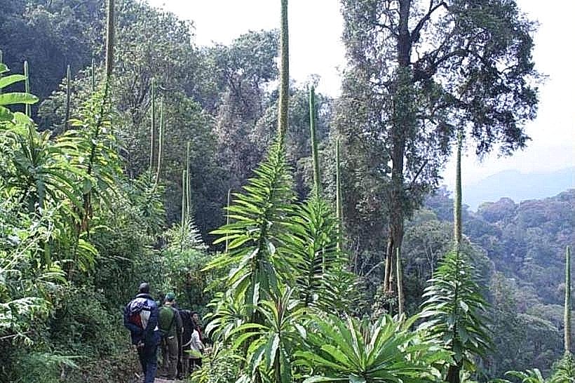
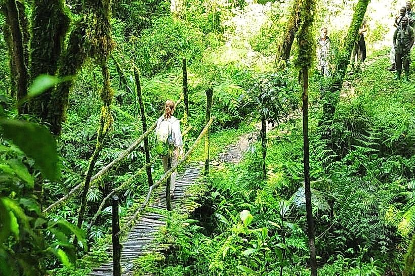
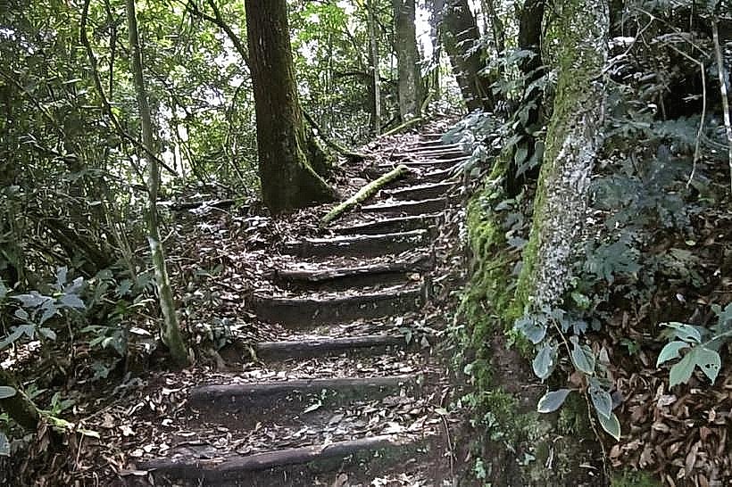
The trail features a dense forest floor composed of dark volcanic soil, frequently obscured by a thick layer of decomposing organic matter and ferns. The canopy is dominated by massive Newtonia and Symphonia trees, which create a persistent shaded environment with low light penetration. The elevation gain reveals transitions in vegetation density, shifting from tall rainforest hardwoods to shorter, moss-laden trees near the ridge crest.
Location & Access Logistics
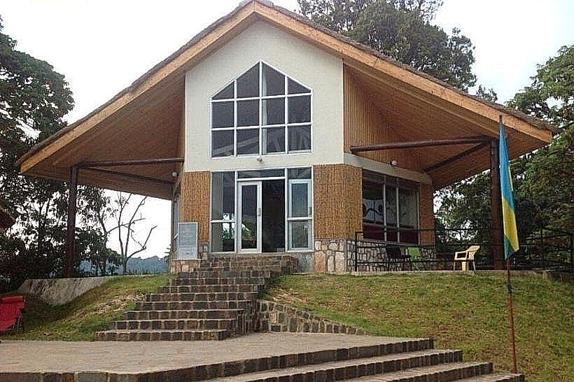
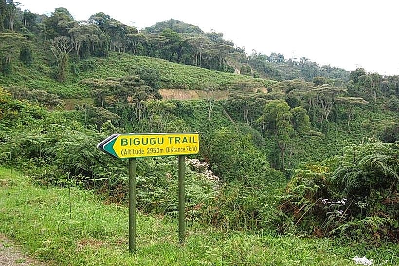
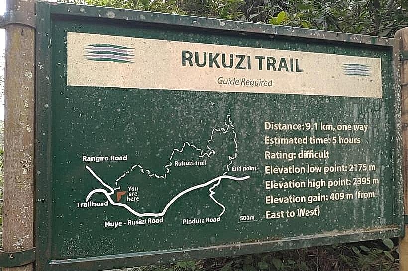
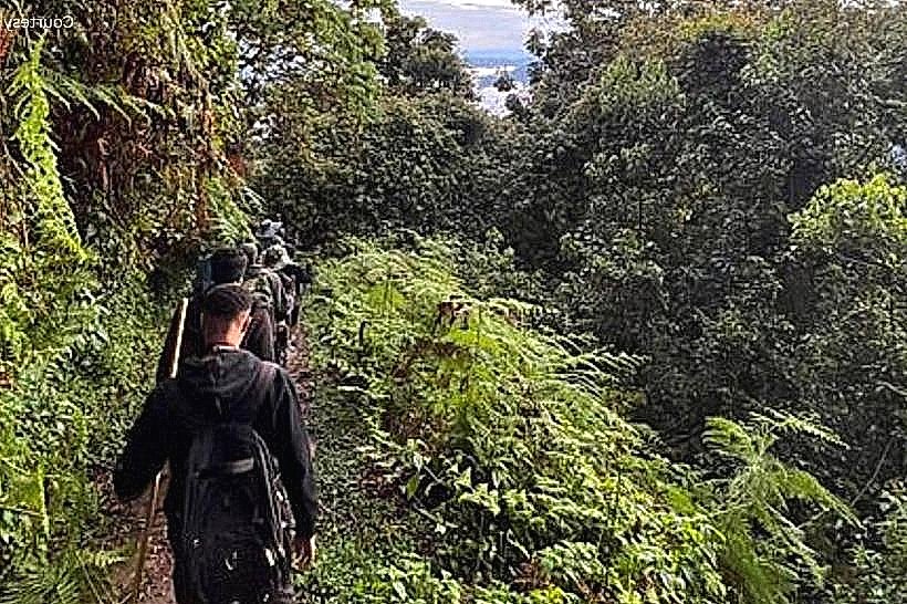
The trailhead is located approximately 3km from the Kitabi Reception Centre on the eastern edge of Nyungwe National Park. Access is via the main RN6 highway, which connects Kigali to the southern province; visitors typically drive 4-5 hours from the capital to reach the park entrance. While a small parking area exists near the start of the trail, all hikers must first register at the Kitabi office to secure a mandatory park ranger guide.
Historical & Ecological Origin
The trail was established as part of Rwanda’s national conservation strategy to diversify tourism beyond primate trekking. Ecologically, the area is a stabilized montane forest that functions as a critical carbon sink and a primary catchment area for the Nile River Basin. The geological substrate consists of ancient metamorphic rock layers that have been weathered over millennia to support high-nutrient soil.
Key Highlights & Activities
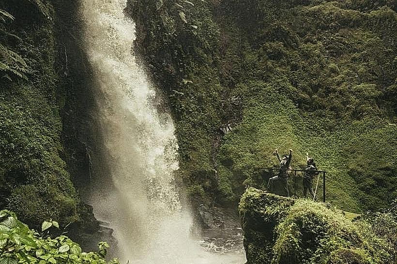
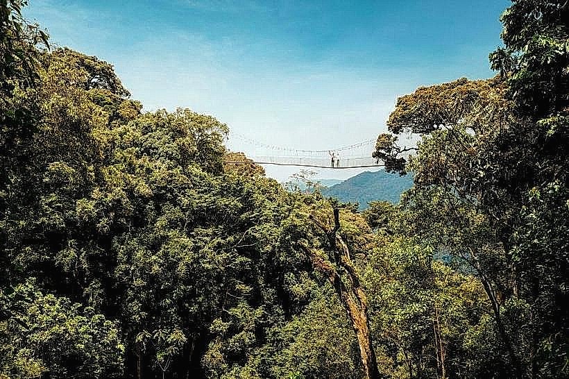
The 4.7km circular loop requires approximately 3 hours to navigate. It is a designated "Primate Trail," frequently providing sightings of L’Hoest’s monkeys, silver monkeys, and Dent's mona monkeys. At the summit of the ridge, there is a dedicated camping zone and a viewing platform that allows for birdwatching of endemic species like the Ruwenzori Turaco.
Infrastructure & Amenities
Infrastructure is minimal to preserve the wilderness character of the eastern forest. The trail includes basic wooden signposts and several cleared resting areas with benches. There is a primitive campsite at the peak, but visitors must carry in all supplies, including water. Cellular signal is weak or non-existent in the valleys, with limited 3G connectivity available only at the highest ridge points.
Best Time to Visit
The driest conditions occur from June to August, providing the safest footing on the often-steep inclines. For photography, the "golden hour" between 07:00 and 08:30 offers the best opportunity to capture wildlife before they retreat into the deep canopy. During the rainy seasons (March-May and October-November), the trail requires specialized waterproof footwear due to significant mud accumulation.
Facts & Legends
The Ngabwe Trail is the only route in the park that allows for overnight stays at a high-altitude wilderness campsite without permanent structures. Local trackers often refer to this ridge as a "monkey crossroads" because it serves as a transitional corridor for several different primate troops moving between the eastern and central forest sectors.
Nearby Landmarks
Kitabi Reception Centre: 3.0km East
Mount Bigugu: 12.0km West
Pindura-Bweyeye Road: 4.5km South
Uwinka Visitor Centre: 18.0km West