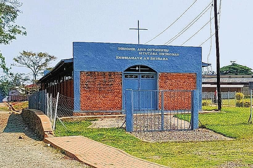
Landmark: Kamiranzovu Swamp
City: Nyamasheke
Country: Rwanda
Continent: Africa
Kamiranzovu Swamp, Nyamasheke, Rwanda, Africa
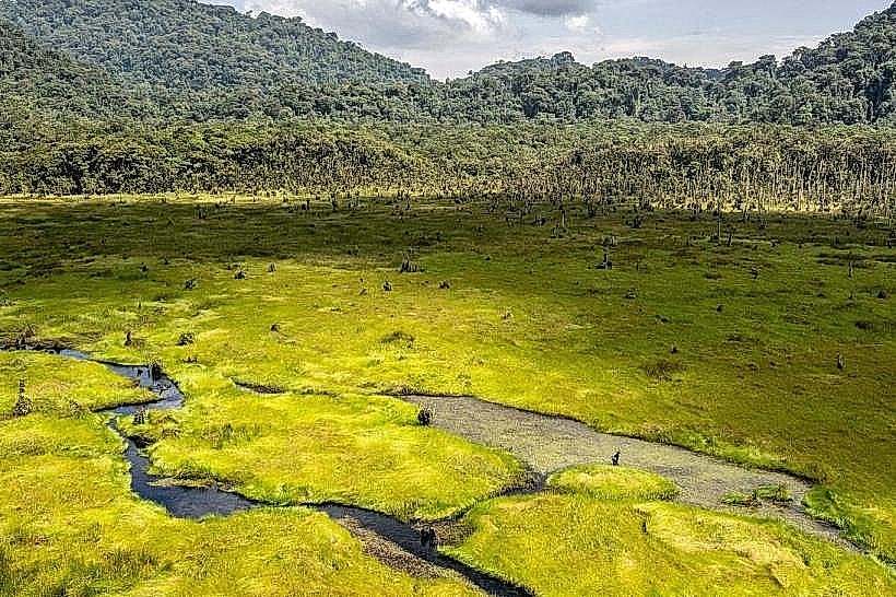
Kamiranzovu Swamp is the largest wetland ecosystem within Nyungwe National Park, located in the western sector of the Nyamasheke District. It occupies a high-altitude caldera-like depression, forming a critical hydrological reservoir that feeds the Nile and Congo river basins.
Visual Characteristics
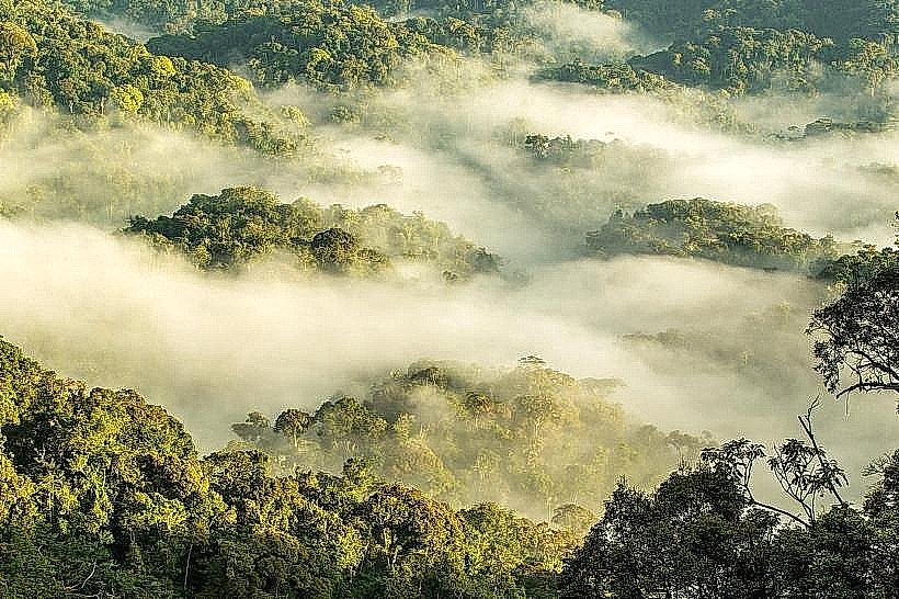
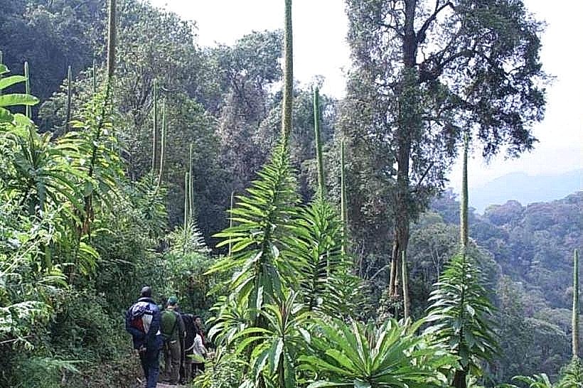
The swamp is defined by a vast, flat expanse of bright green peat bogs, dense papyrus stands, and specialized swamp forests. The landscape is characterized by a low-hanging mist and a distinctive carpet of sphagnum moss and giant lobelias. The perimeter is enclosed by steep, densely forested ridges, creating a stark contrast between the open marshland and the surrounding Afro-montane rainforest.
Location & Access Logistics
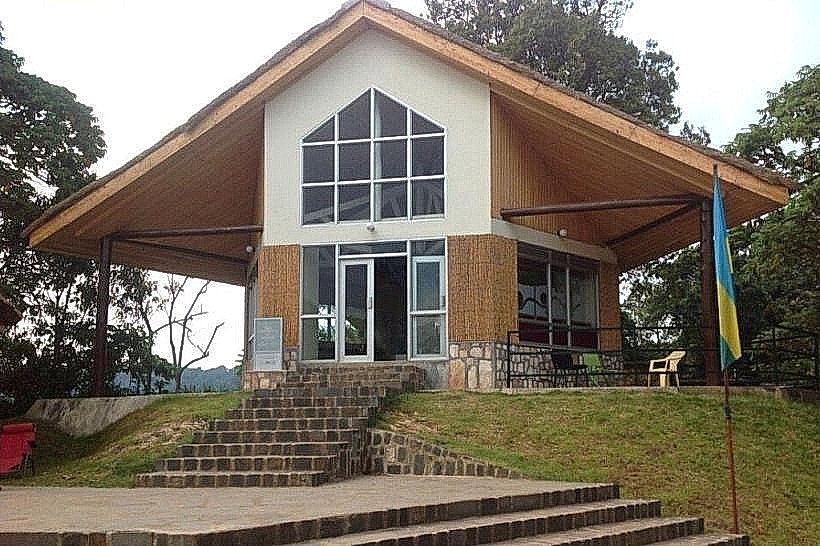
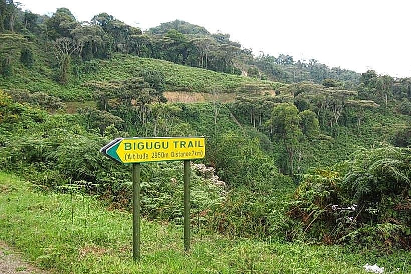
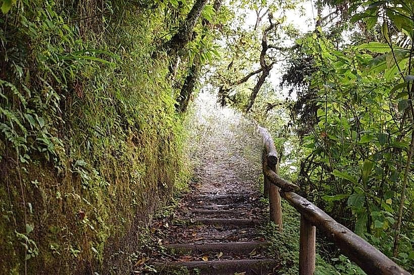
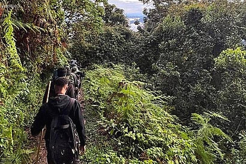
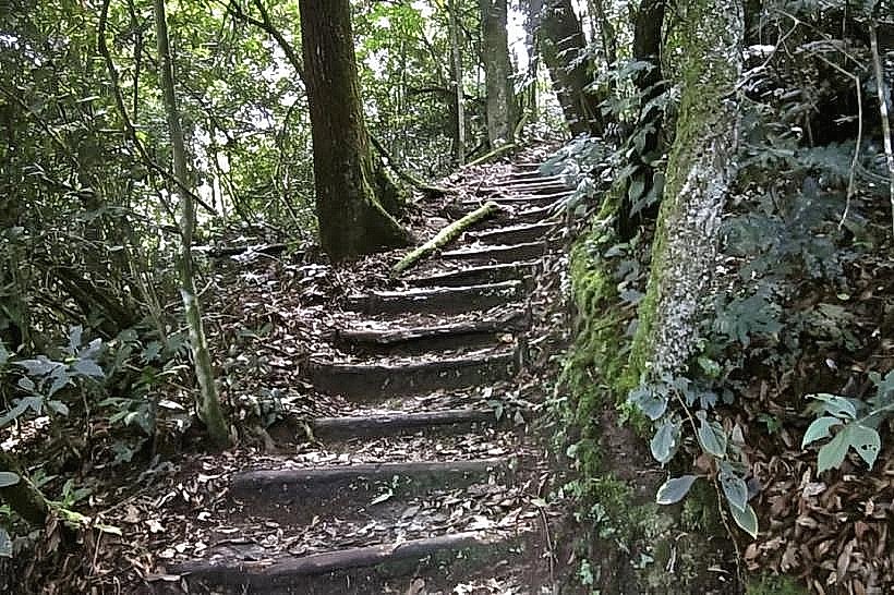
The trailhead is located approximately 12km west of the Uwinka Visitor Center and 10km east of the Gisakura reception office along the RN6 highway. Access is via the Kamiranzovu Trail, which involves a 5.9km round-trip hike. The trail includes a significant descent from the main road into the swamp basin and a subsequent ascent on the return. A professional park guide is mandatory. 4x4 vehicles are required to reach the trailhead parking area from the main highway.
Historical & Ecological Origin
Geologically, Kamiranzovu is a prehistoric peatland that has accumulated over thousands of years within a tectonic depression of the Albertine Rift. Historically, it is the site where the last of Nyungwe's forest elephants were reportedly seen in the mid-20th century. The swamp serves as a vital carbon sink and a primary source for the Isumo River. It supports unique orchid species and serves as a refuge for the rare Grauer's Swamp Warbler.
Key Highlights & Activities
Orchid Observation: The swamp margins are one of the most concentrated sites for wild orchids in Africa, with numerous species blooming during the rainy seasons.
Birdwatching: A premier location for spotting Albertine Rift endemics, specifically the Grauer's Swamp Warbler and the Albertine Boubou.
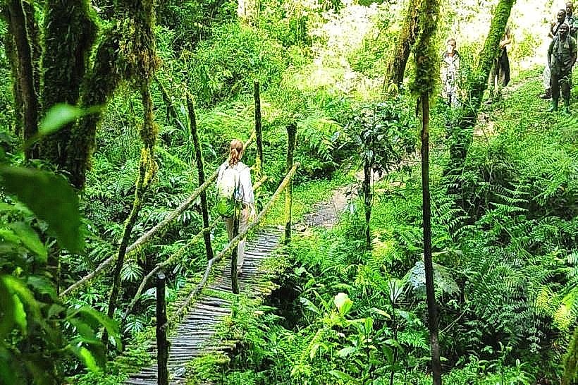
Boardwalk Trekking: A specialized wooden boardwalk allows visitors to traverse the interior of the swamp without disturbing the fragile peat layer or the water system.
Botanical Study: Close-range viewing of carnivorous plants and ancient tree ferns (Cyathea manniana) that thrive in the acidic, waterlogged soil.
Infrastructure & Amenities
The site features a raised wooden boardwalk and several small viewing platforms within the swamp interior. There are no restrooms, shelters, or food services along the trail; all facilities are restricted to the Uwinka or Gisakura offices. 4G cellular signal is intermittent at the trailhead and non-existent within the swamp basin. Hikers are provided with walking sticks at the start of the trek.
Best Time to Visit
The swamp is accessible year-round, but the months of October to May are optimal for seeing the diverse orchid species in bloom. For birding, the early morning departure (07:00–08:30) is essential. The dry season (June–August) provides the most stable footing on the forested descent, though the swamp itself remains wet and humid regardless of the season.
Facts & Legends
The name "Kamiranzovu" translates from Kinyarwanda as "Swallower of Elephants," a reference to the historical accounts of elephants becoming trapped in the deep, treacherous peat bogs. A specific tip for visitors: the trail is exceptionally humid and can be infested with biting ants in certain sections; tucked-in trousers and long-sleeved shirts are mandatory for protection.
Nearby Landmarks
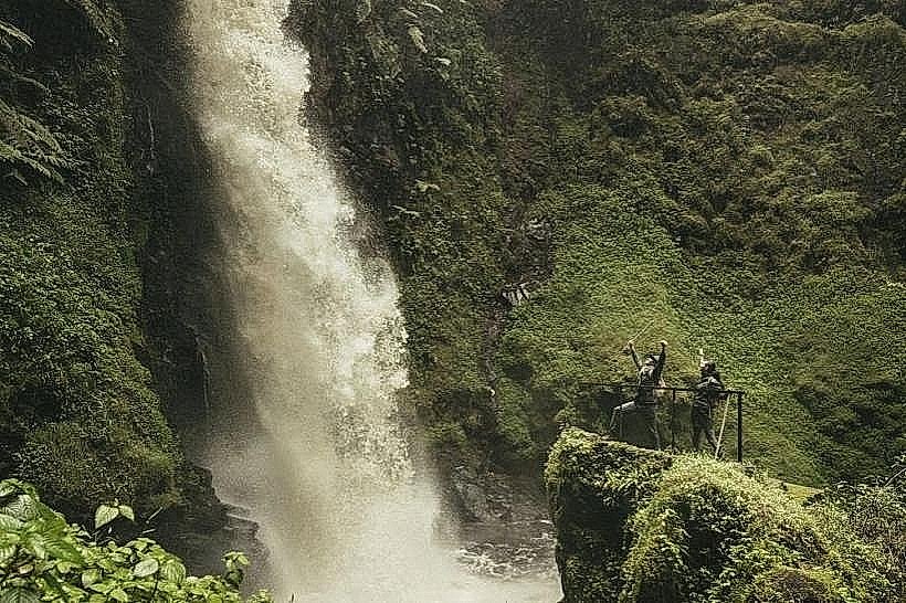
Isumo Waterfall Trail – 10km West
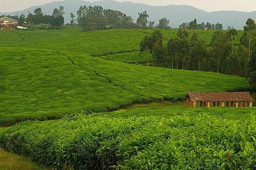
Gisakura Tea Estate – 12km West
Uwinka Visitor Center – 12km East
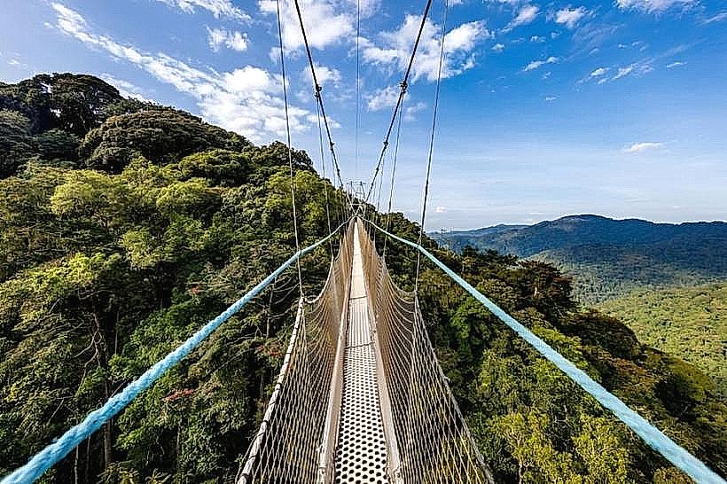
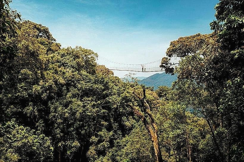
Canopy Walkway – 14km East
Lake Kivu (Cyimbiri) – 25km West